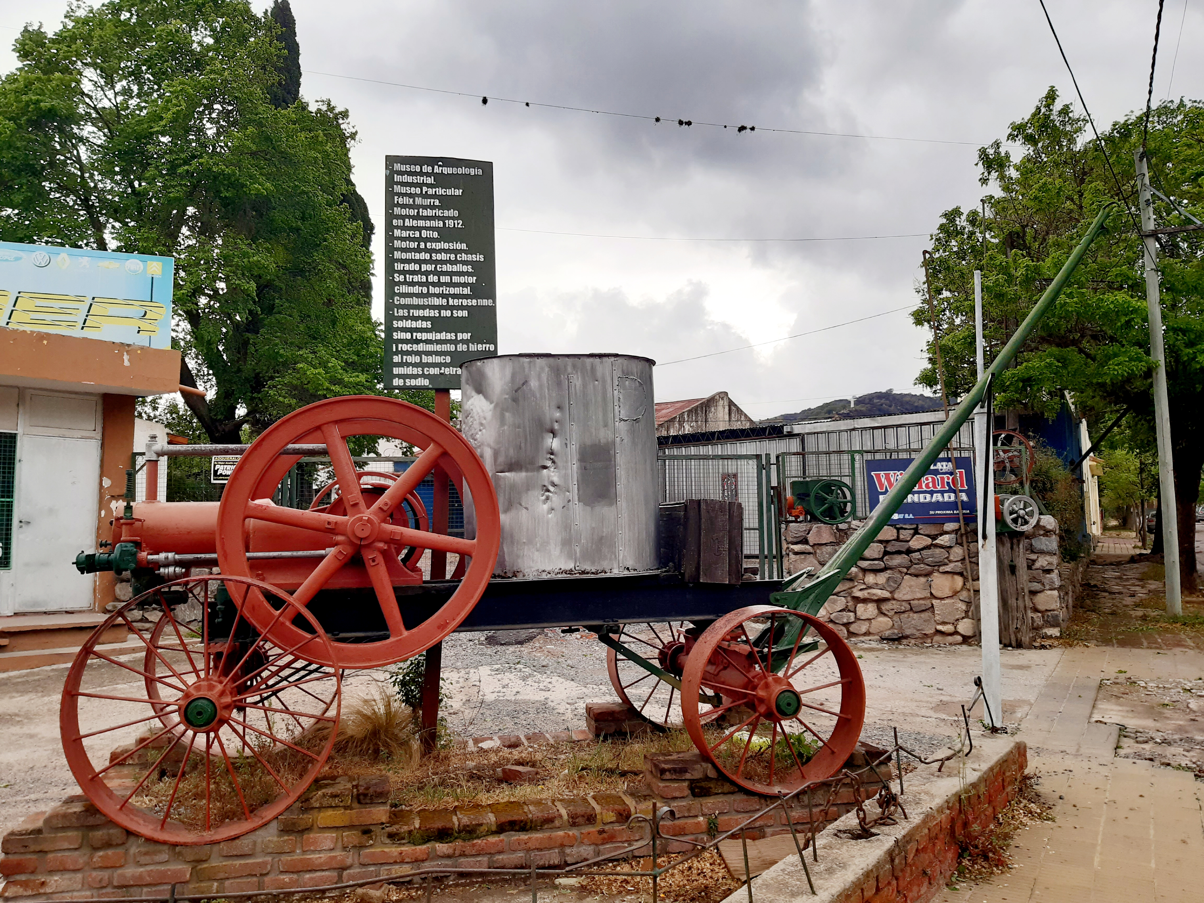
On my arrival at Quillabamba, a volunteer at QuillArt (the art institute where I’m doing volunteer work) told me of her trip to Machu Picchu from here, the local way. Jennifer, my host, enthusiastically joined the conversation, extolling the incredible beauty of Machu Picchu and expertise of the Inca’s. I was persuaded, and promptly bought my online ticket, which cost $65. I later discovered that the tickets on the government website, http://www.machupicchu.gob.pe, were $20 cheaper, ugh! Only 2500 people are allowed to enter per day, and only 400 may climb Huayna Picchu, the peak that forms the backdrop to the citadel. I read that UNESCO is considering declaring Machu Picchu an endangered World Heritage site because of the many tourists and to prevent mismanagement. In the late 1990’s the Peruvian government approved the building of a cable car and 5-star hotel, including a tourist centre with boutiques and restaurants, which was fortunately stopped as a result of protests against it. In 2018 negotiations were re-opened for the building of a cable car to encourage Peruvians to visit the site.
Too much effort to write it all in my own words, so here is some information I found on MAPS.ME: “Machu Picchu was constructed as an estate for the Inca emperor Pachacuti (1438–1472). Often mistakenly referred to as the “Lost City of the Incas”, it is the most familiar icon of Inca civilization. The Incas built the estate around 1450 but abandoned it a century later at the time of the Spanish conquest. Although known locally, it was not known to the Spanish during the colonial period and remained unknown to the outside world until American historian Hiram Bingham brought it to international attention in 1911“.
Okay, info done, so last Saturday another volunteer here (Gabriela), Derjarth (Jennifer’s 17yr old son) and I started out from Quillabamba in a minivan filled with a lot of locals. Derjarth had never been to Machu Picchu, but had been to Santa Theresa, our first stop (49km), and had warned us about the precarious road along the mountain tops, with sheer unprotected drops down to the river below. Suffice it to say that had I had a fear of heights, I would have preferred to walk…
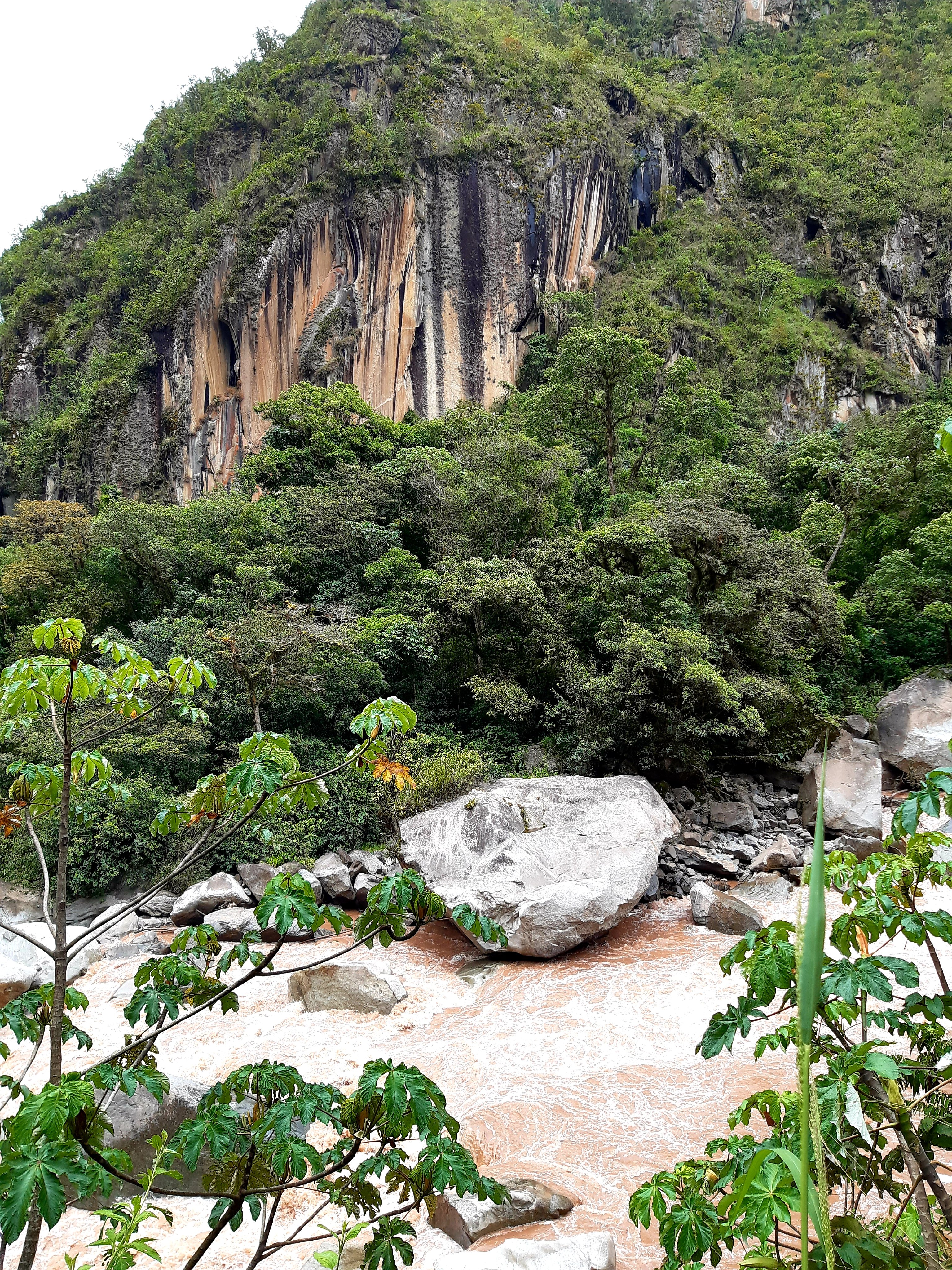
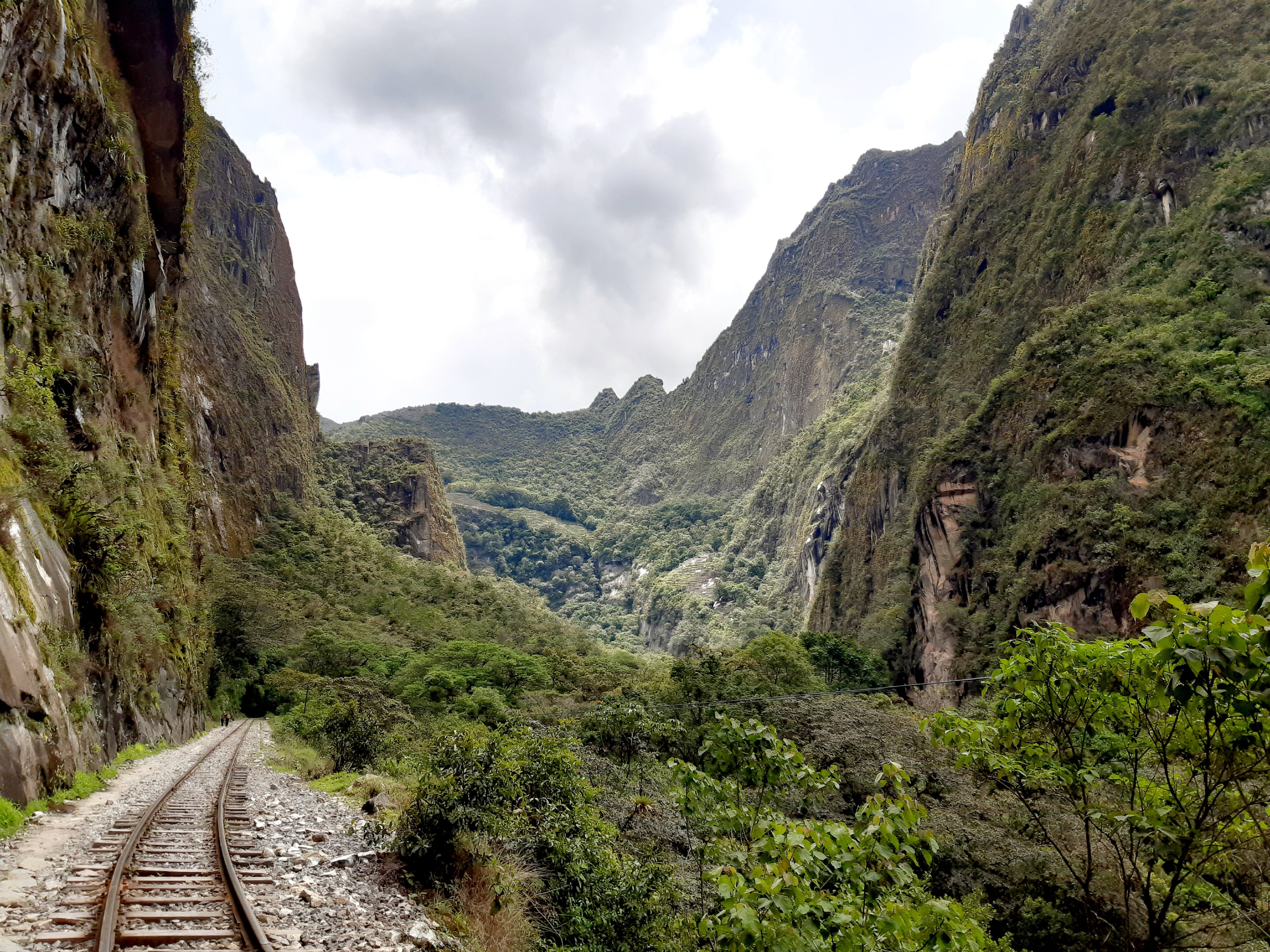
At Santa Theresa we had to take another taxi to Hydroelectrica (10km), where the road stops. The only way to get to Machupicchu Pueblo, or Aguas Caliente as it is also called, is by train or walking the 11km. We opted for the second – a fairly easy walk along the railway-line and Urubamba river through a green and lush canyon. We were in high spirits, the weather was perfect, cloud cover but no rain, and we could see Huayna Picchu, even spotting some people and buildings at the top.
We arrived in Machupicchu Pueblo at about 2pm, only to discover that we had about another million steps to climb to our very quaint, clean and cheap hostel.
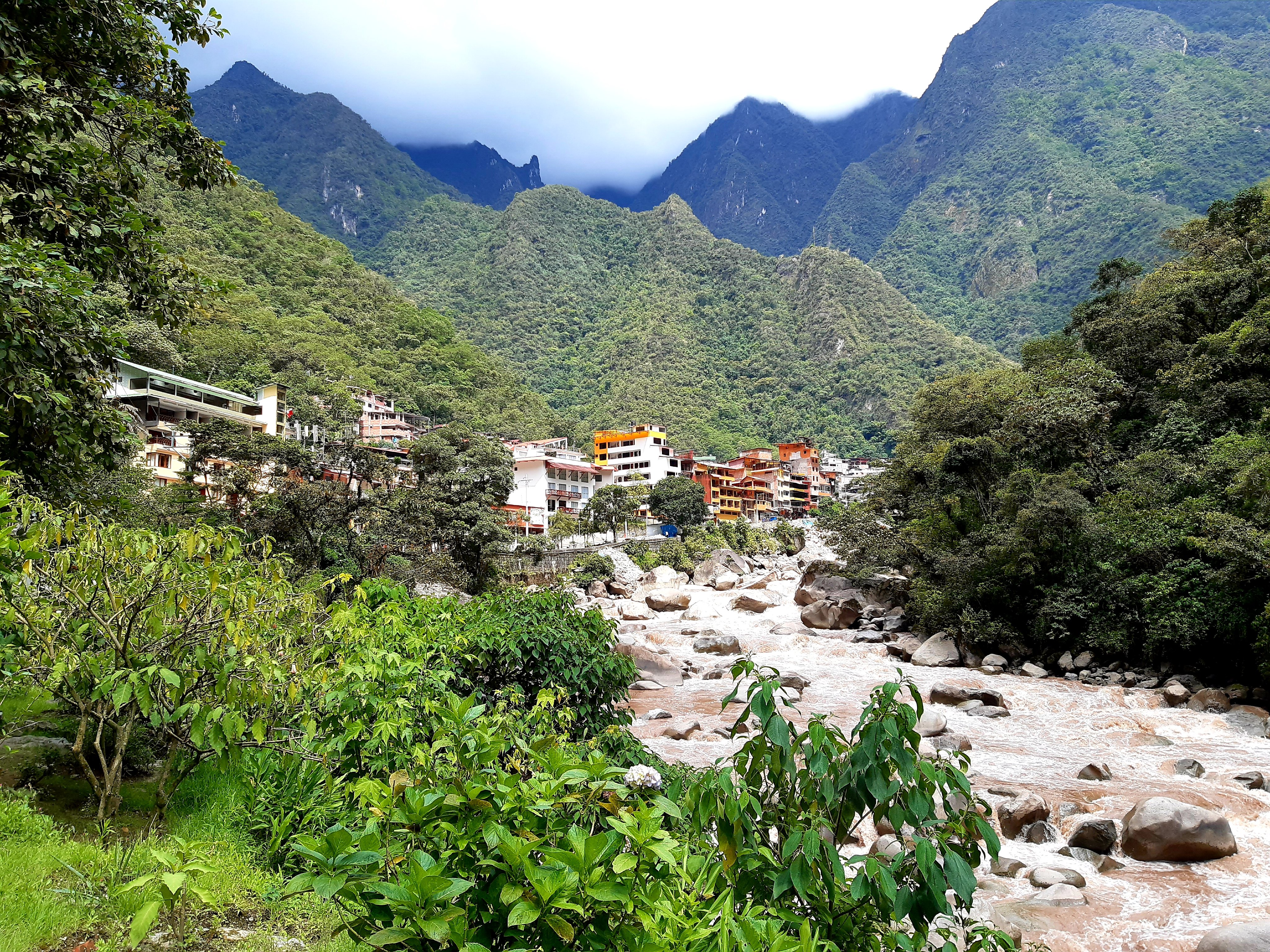
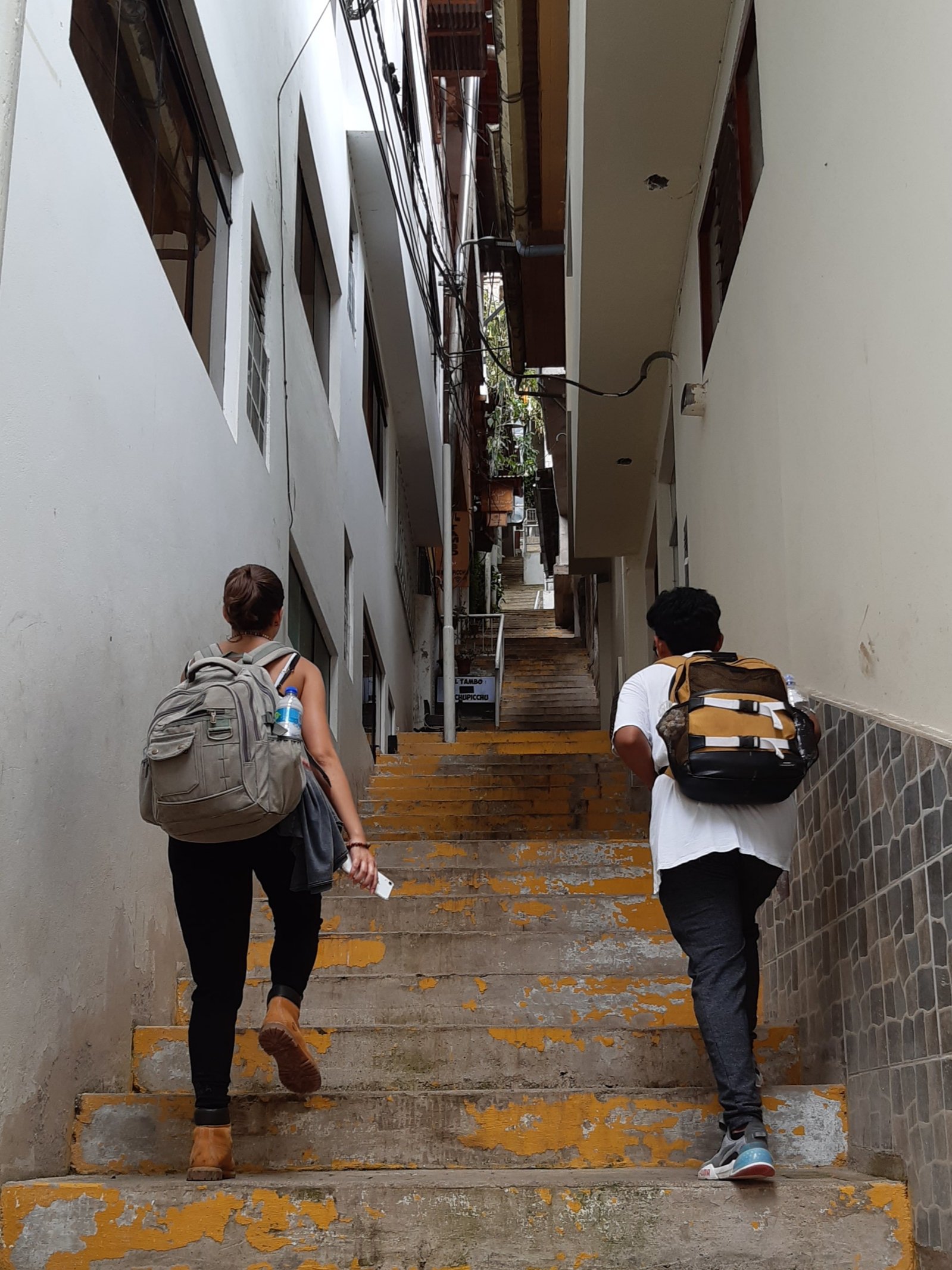
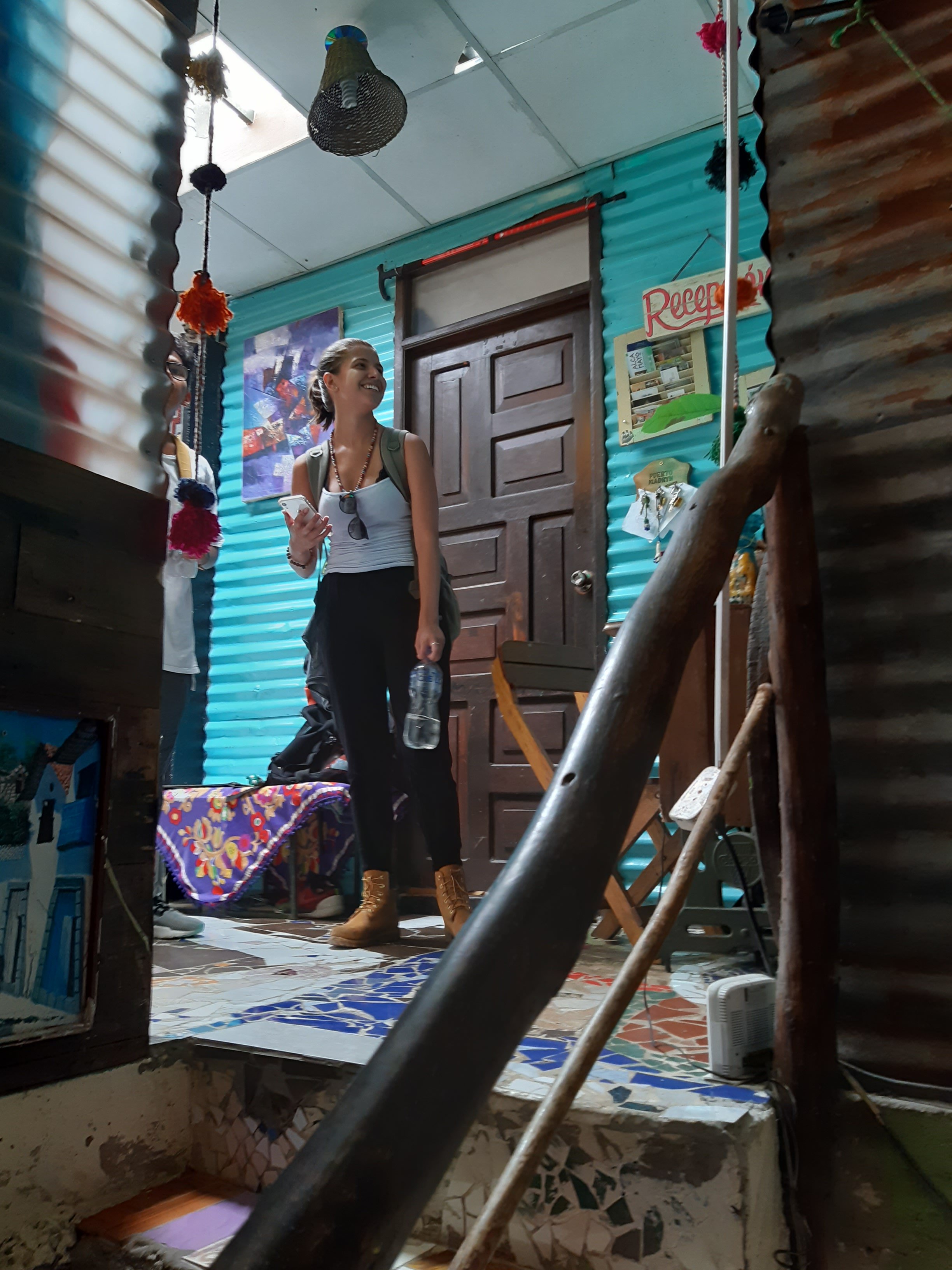
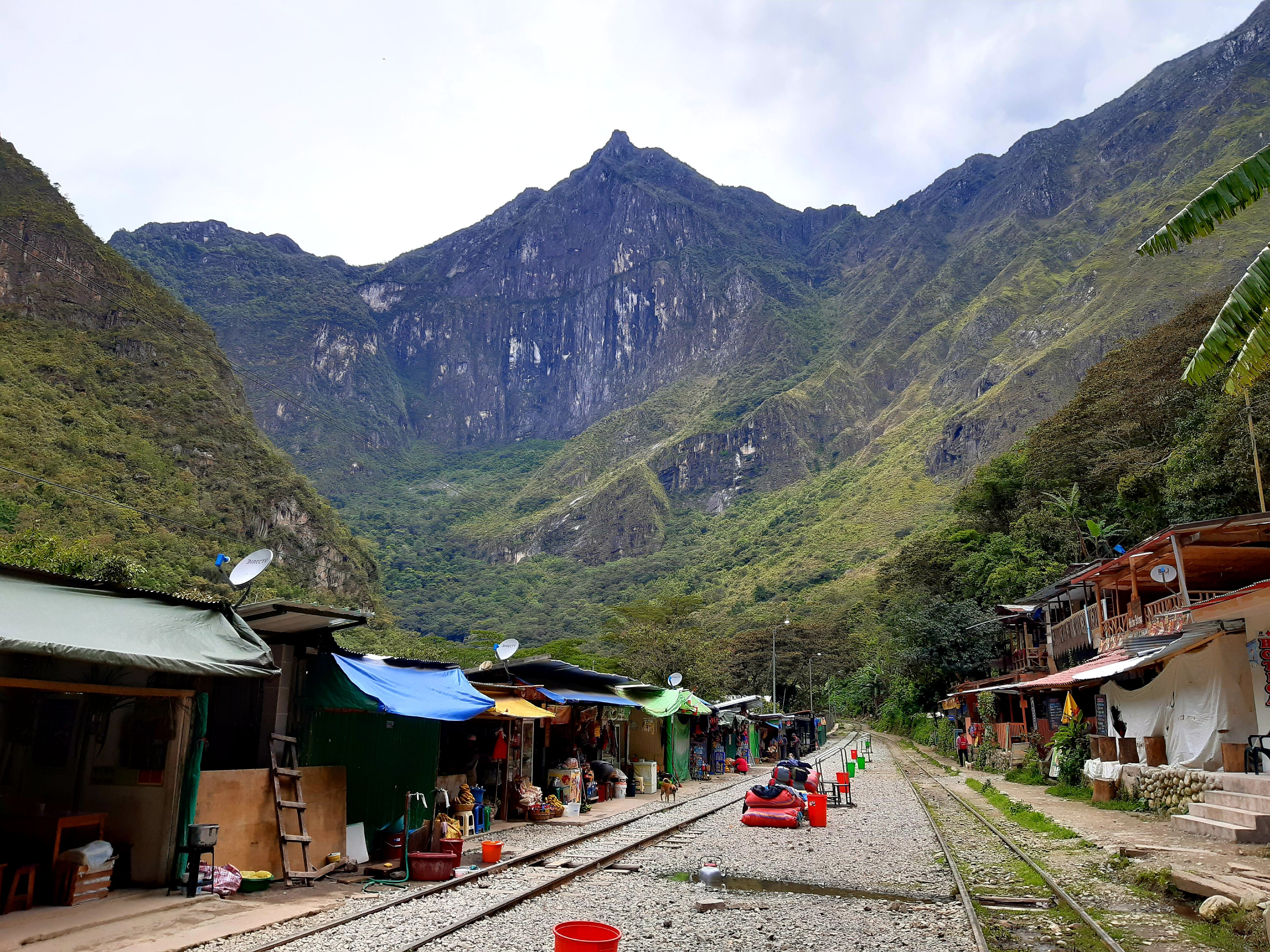
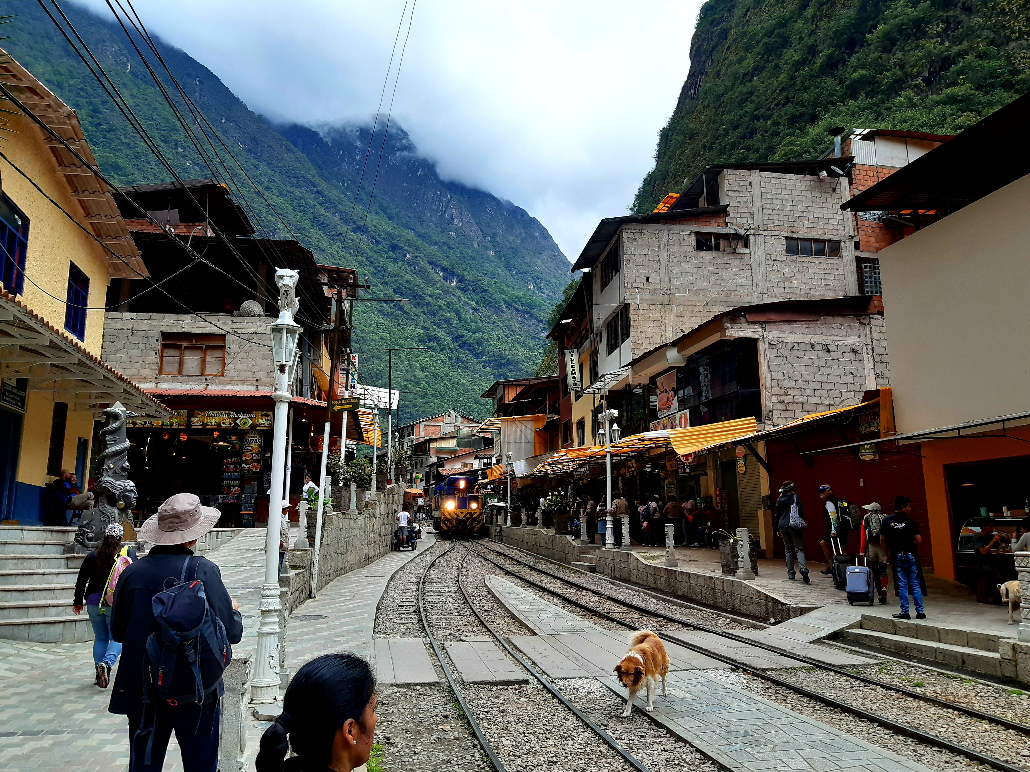
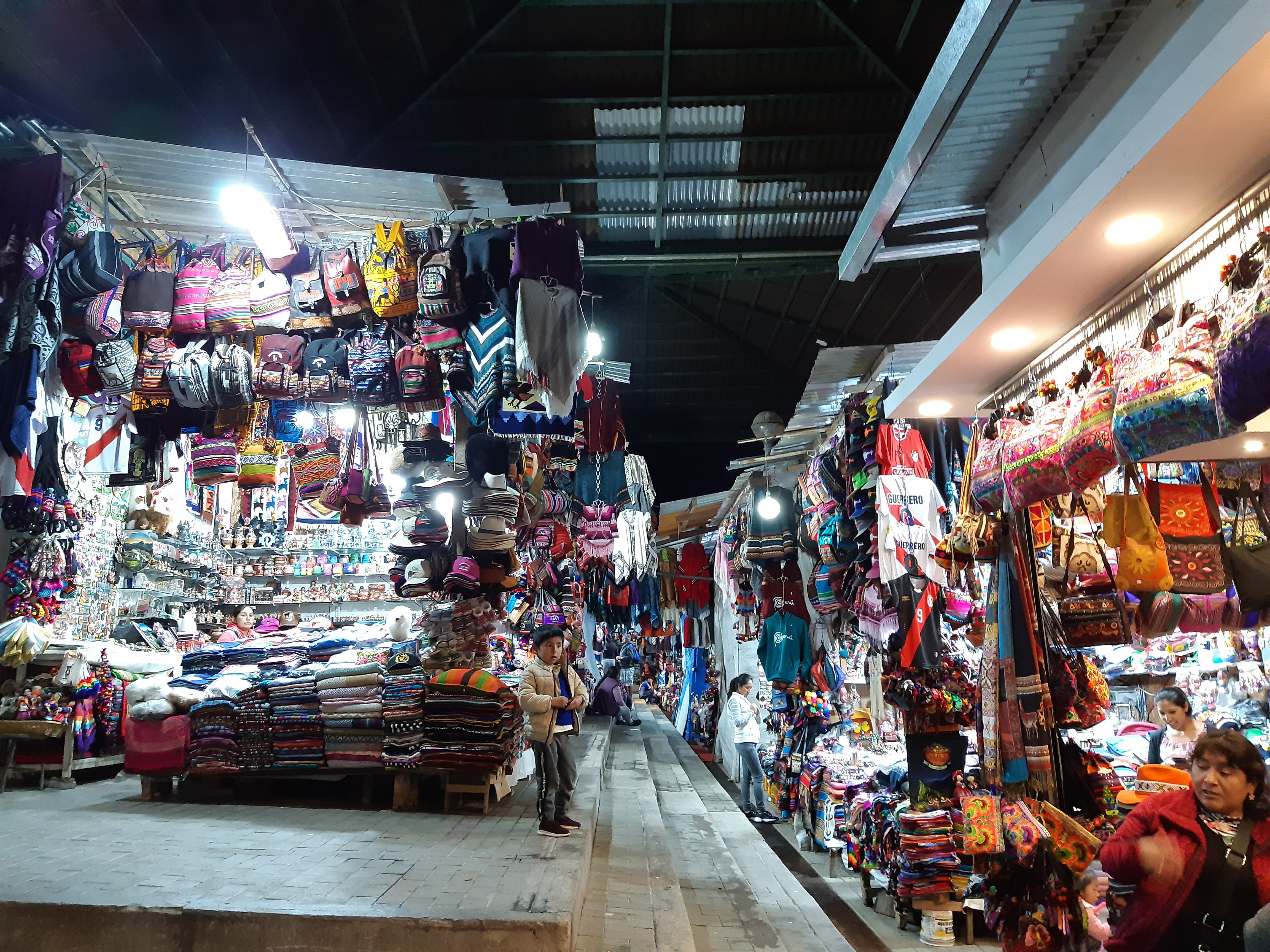
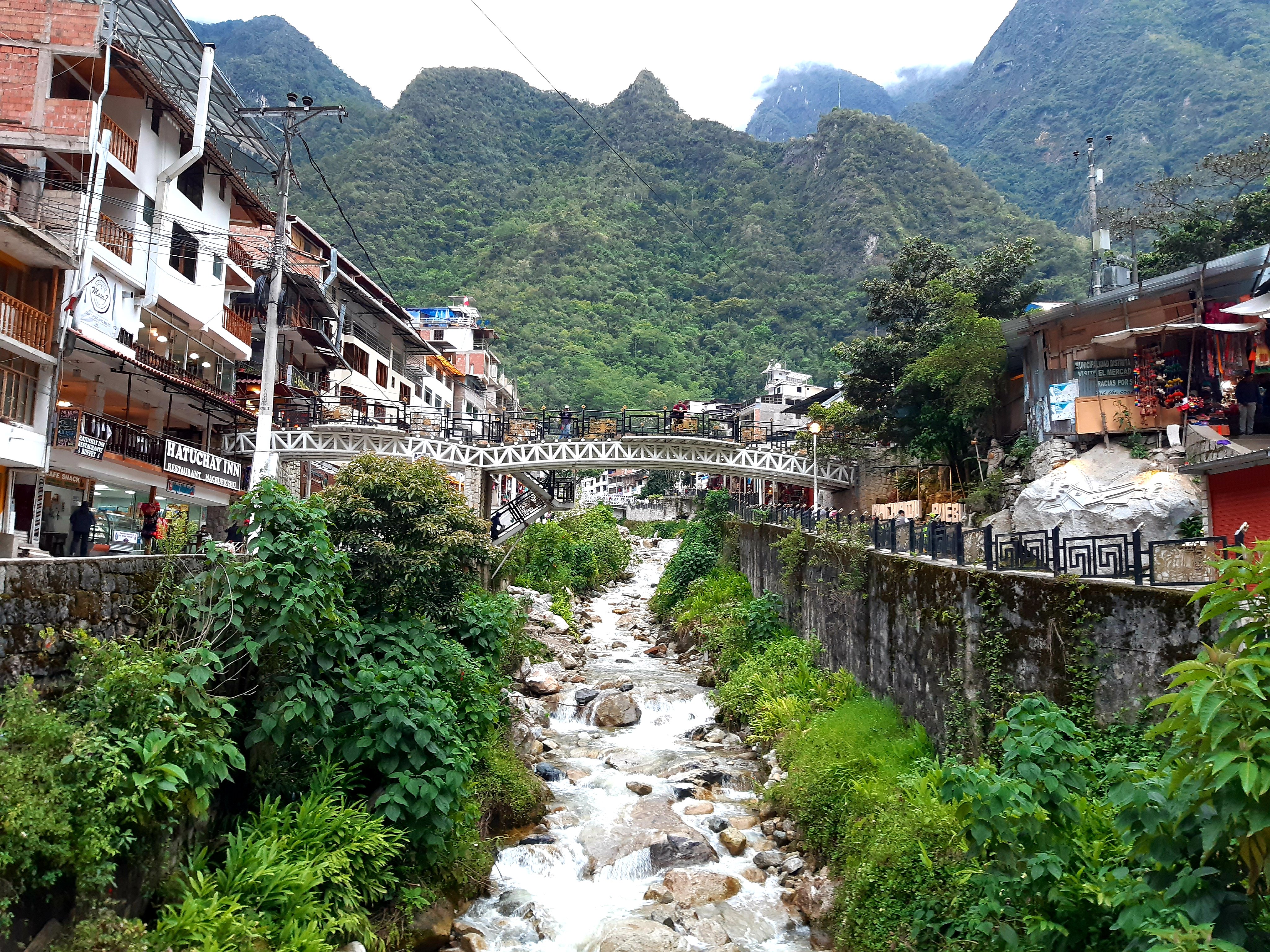
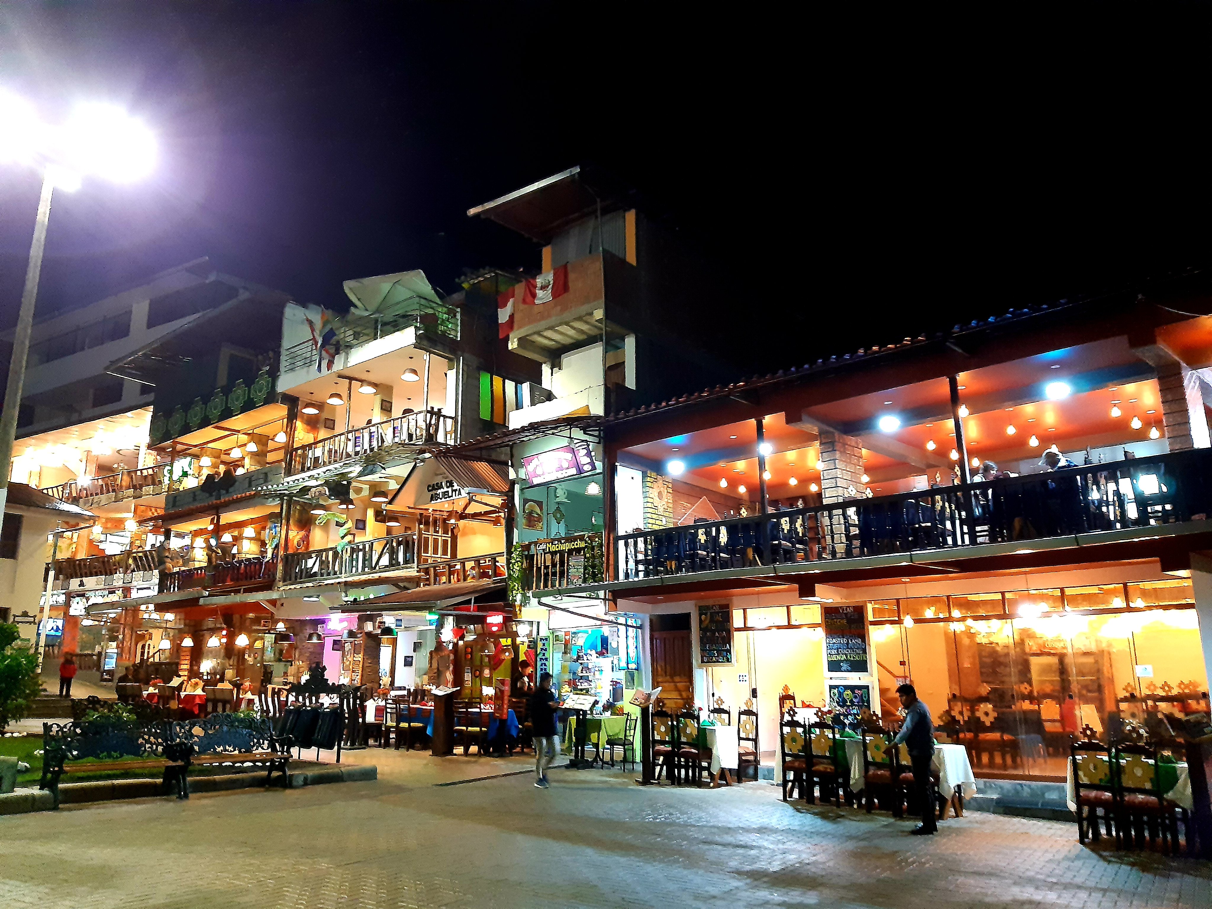
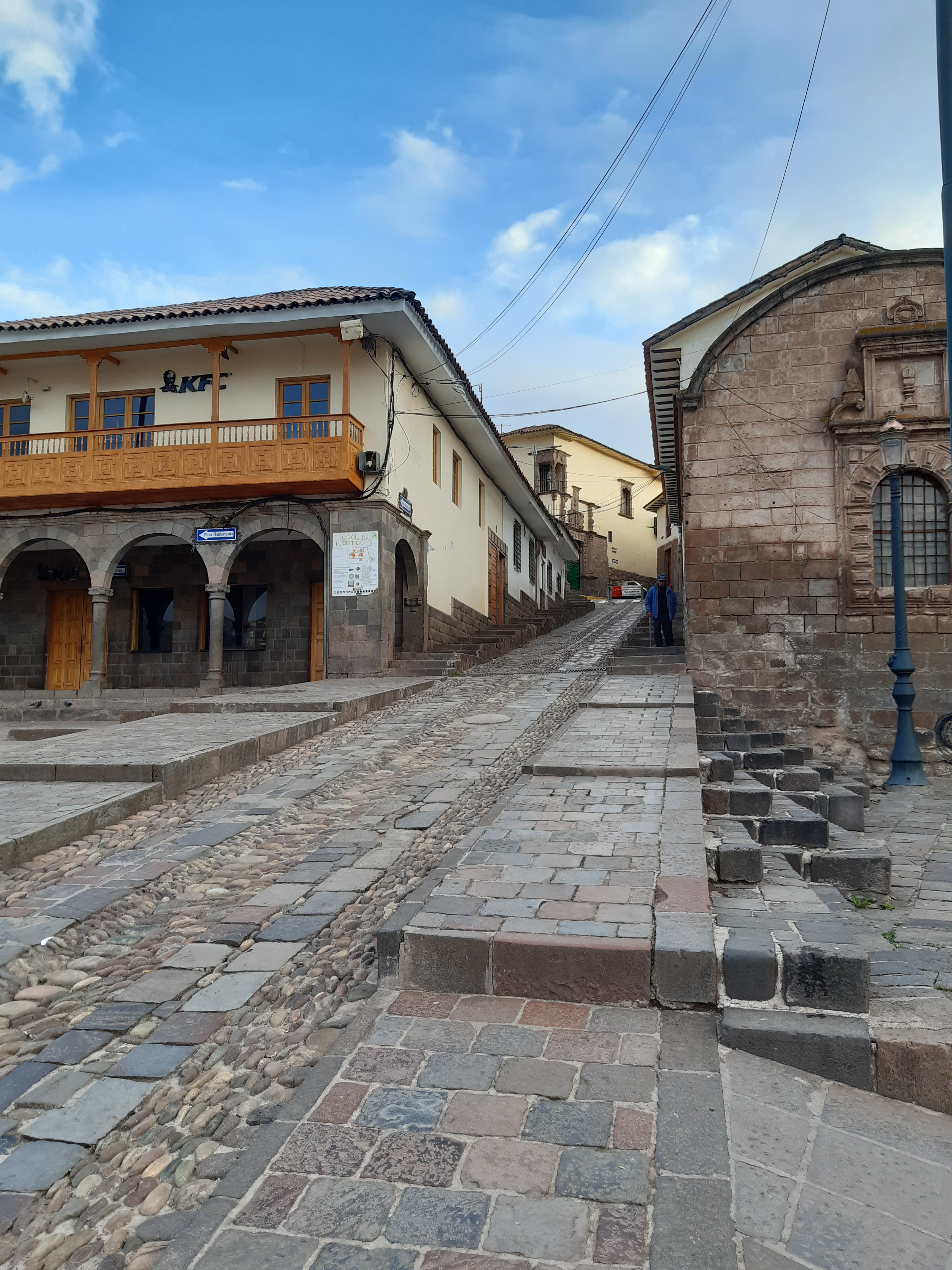
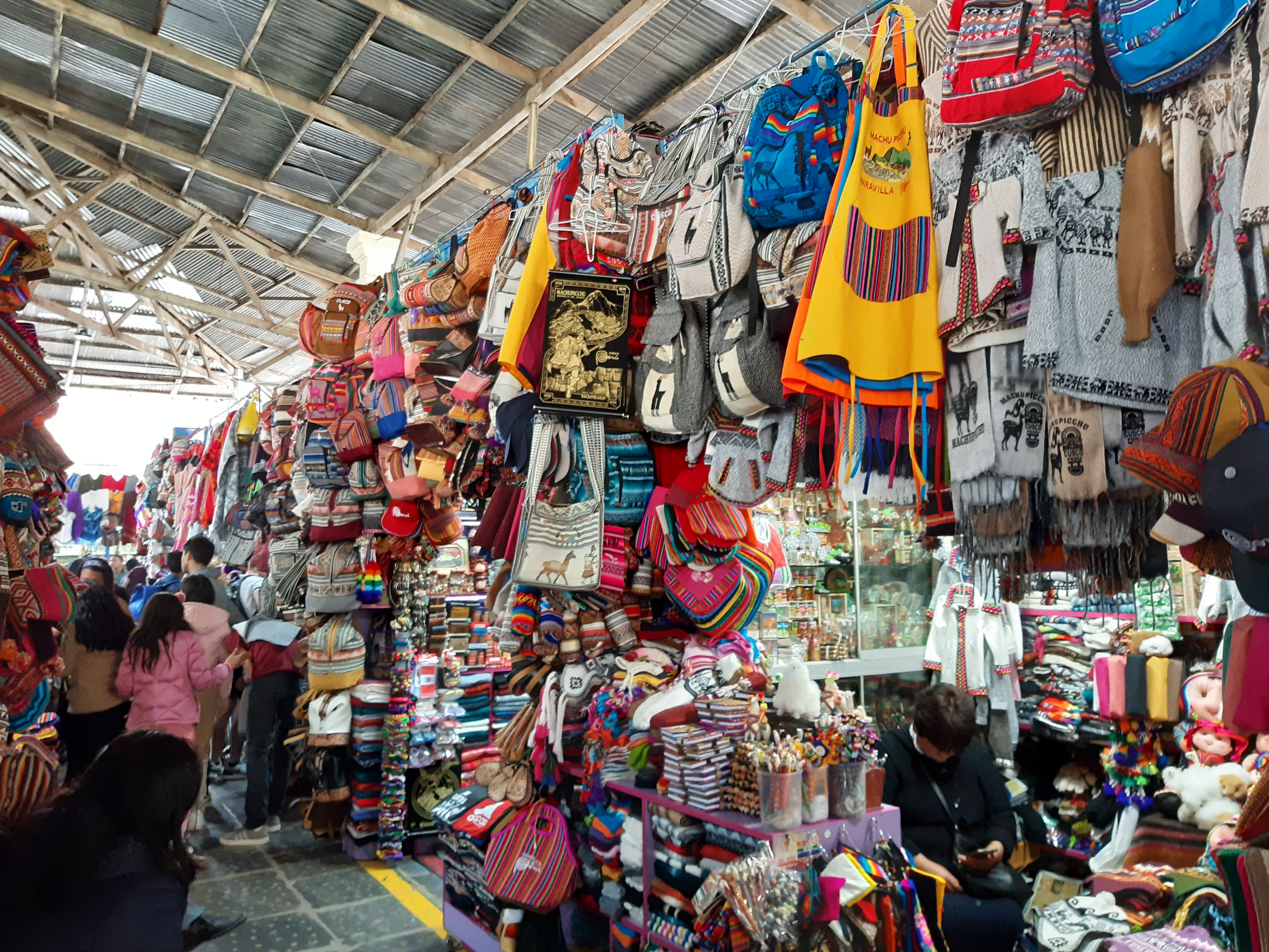
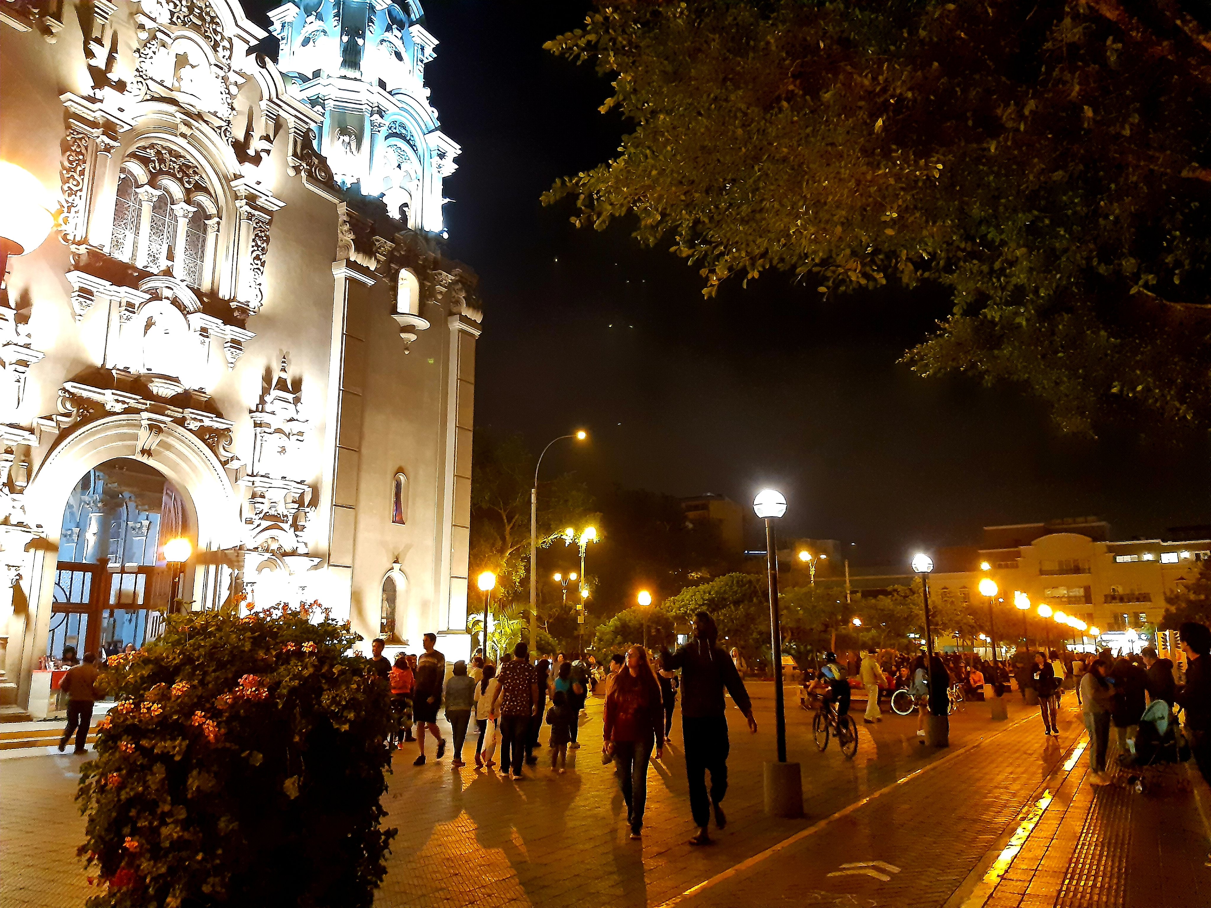
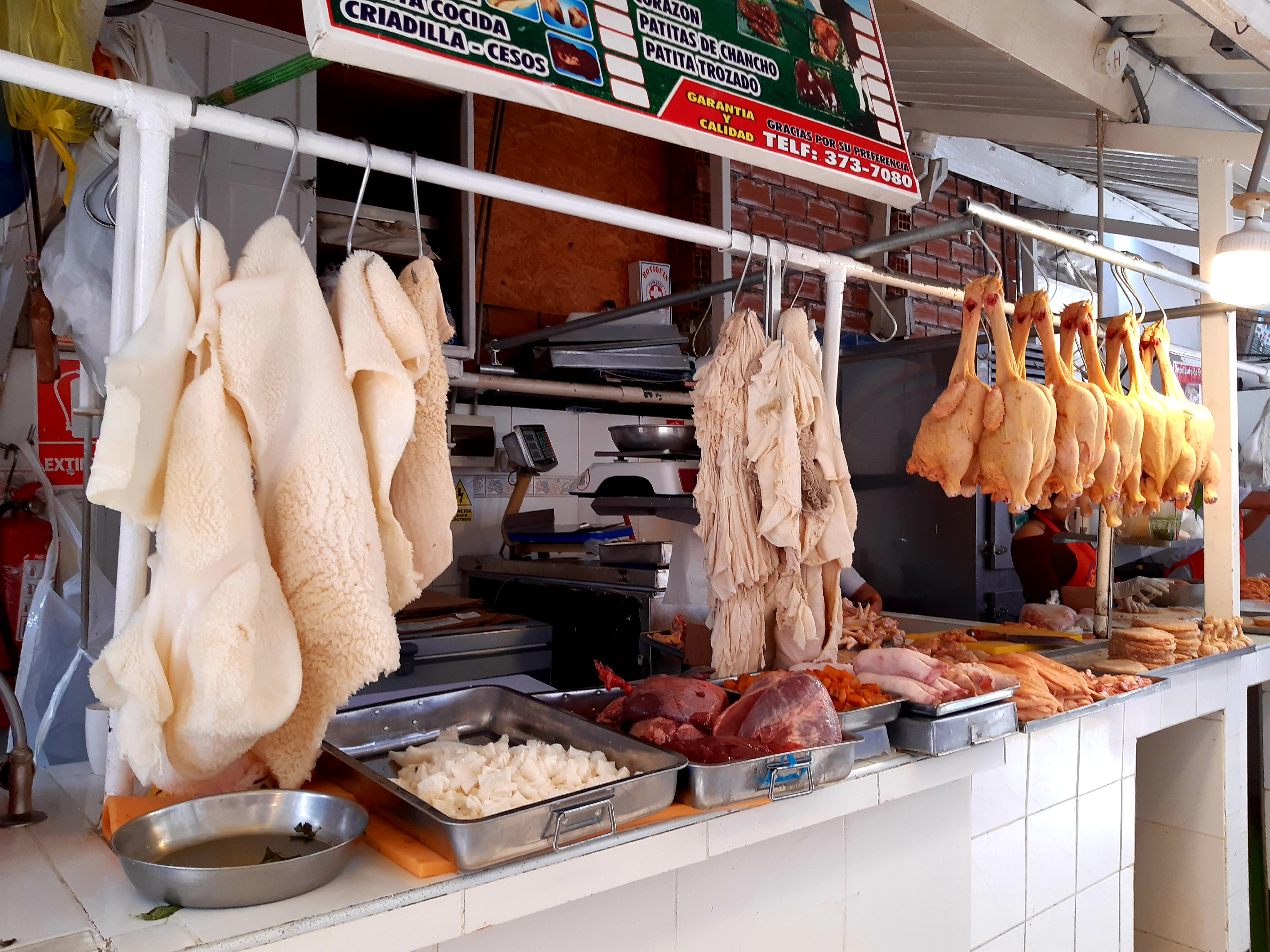
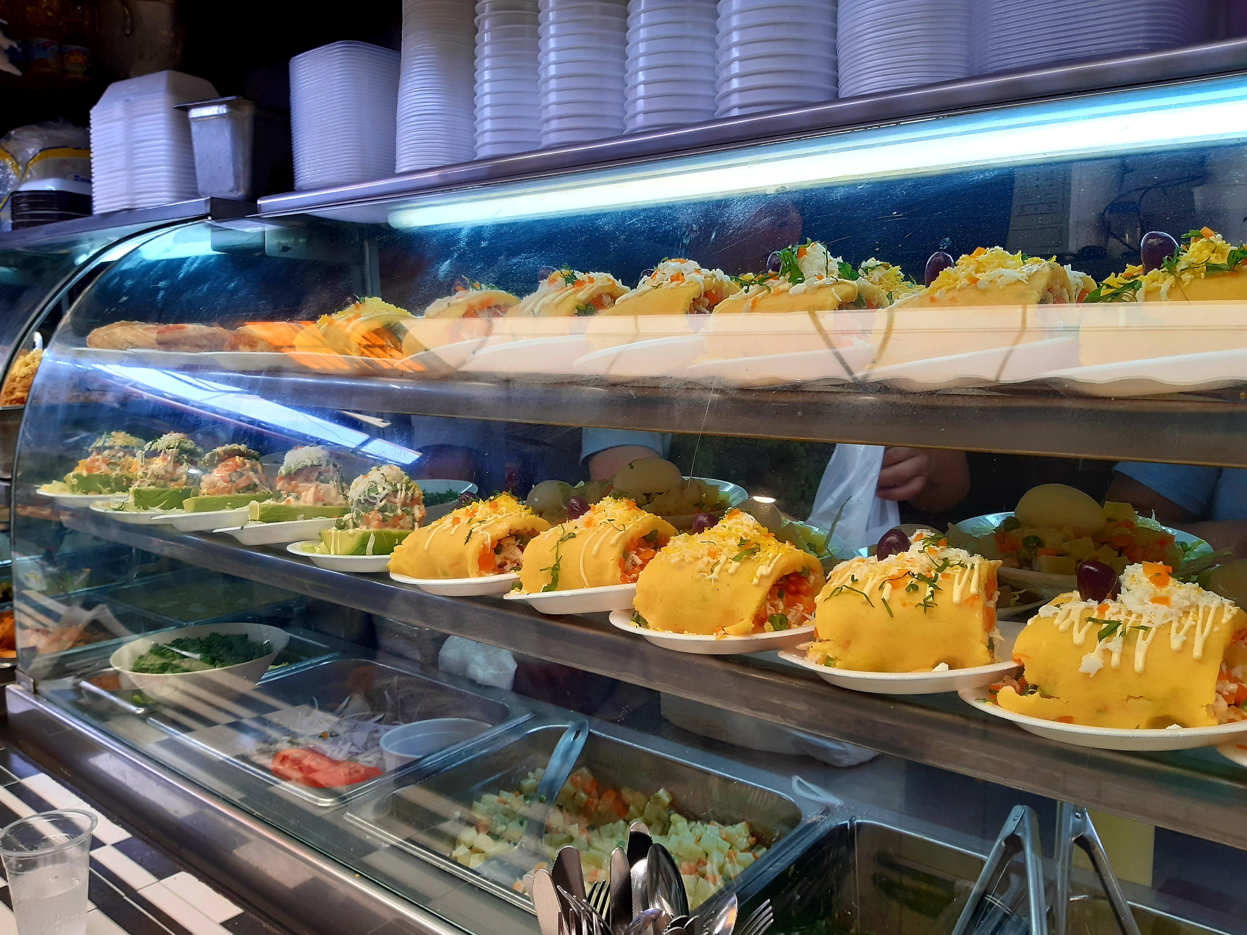
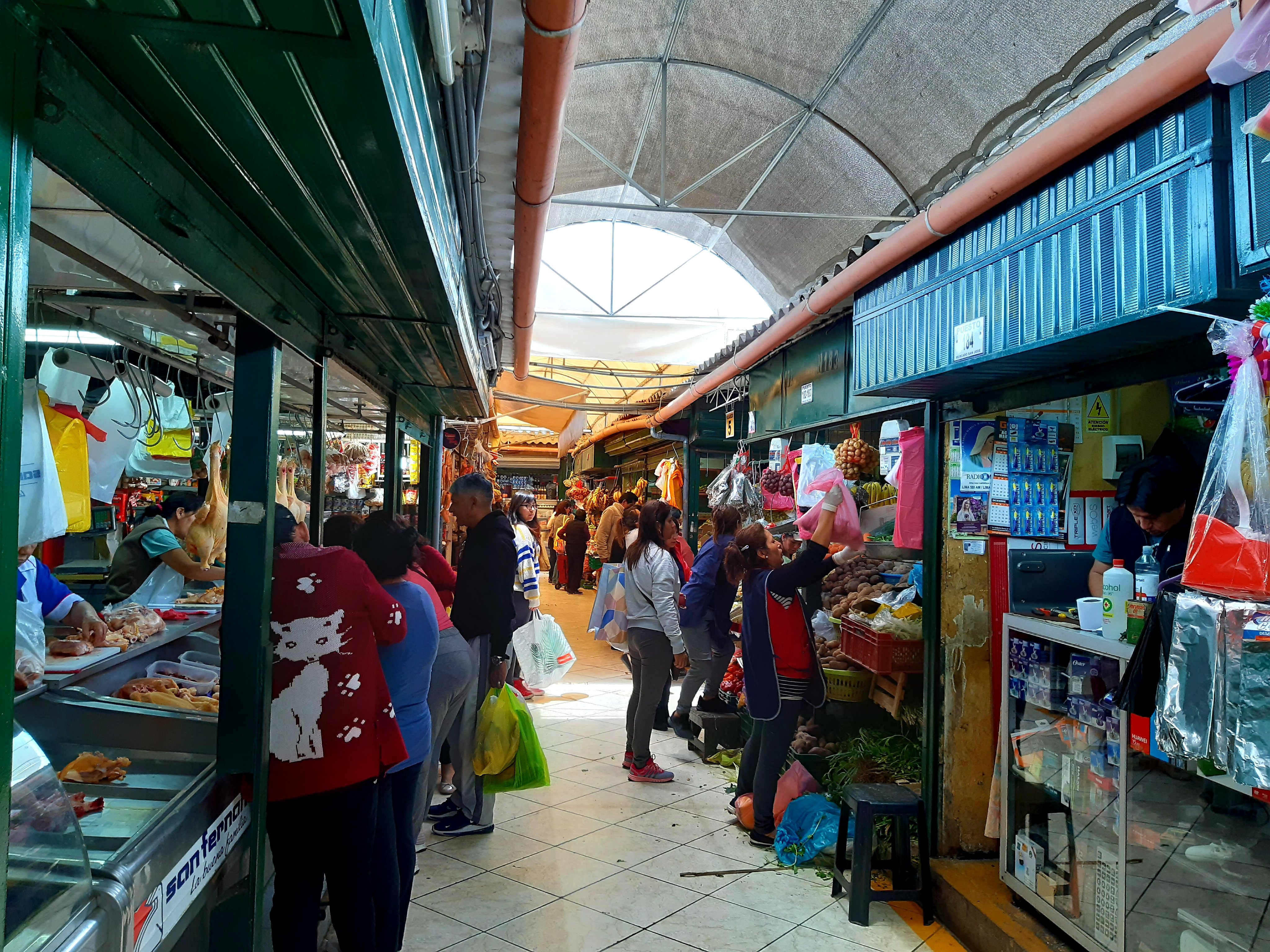
Machupicchu Pueblo is 2km from the starting point of the climb up to Machu Picchu. Everybody, apart from the people doing the Inca Trek or similar hiking trips, passes through there, staying at least one night. It is the most touristic town in Peru, of that I am sure, and every house offers accommodation. Restaurants, souvenir and artisan shops, all other kinds of shops, markets and coffee shops abound. The train and a river run through the middle of town, with bridges connecting the two sides. I was wondering about the buses that are available to transport people to and from the main gate at the top of the mountain, as there are no roads leading into the town. Evidently they were brought in by train, and are not allowed into town further than where the railway-line crosses the road.
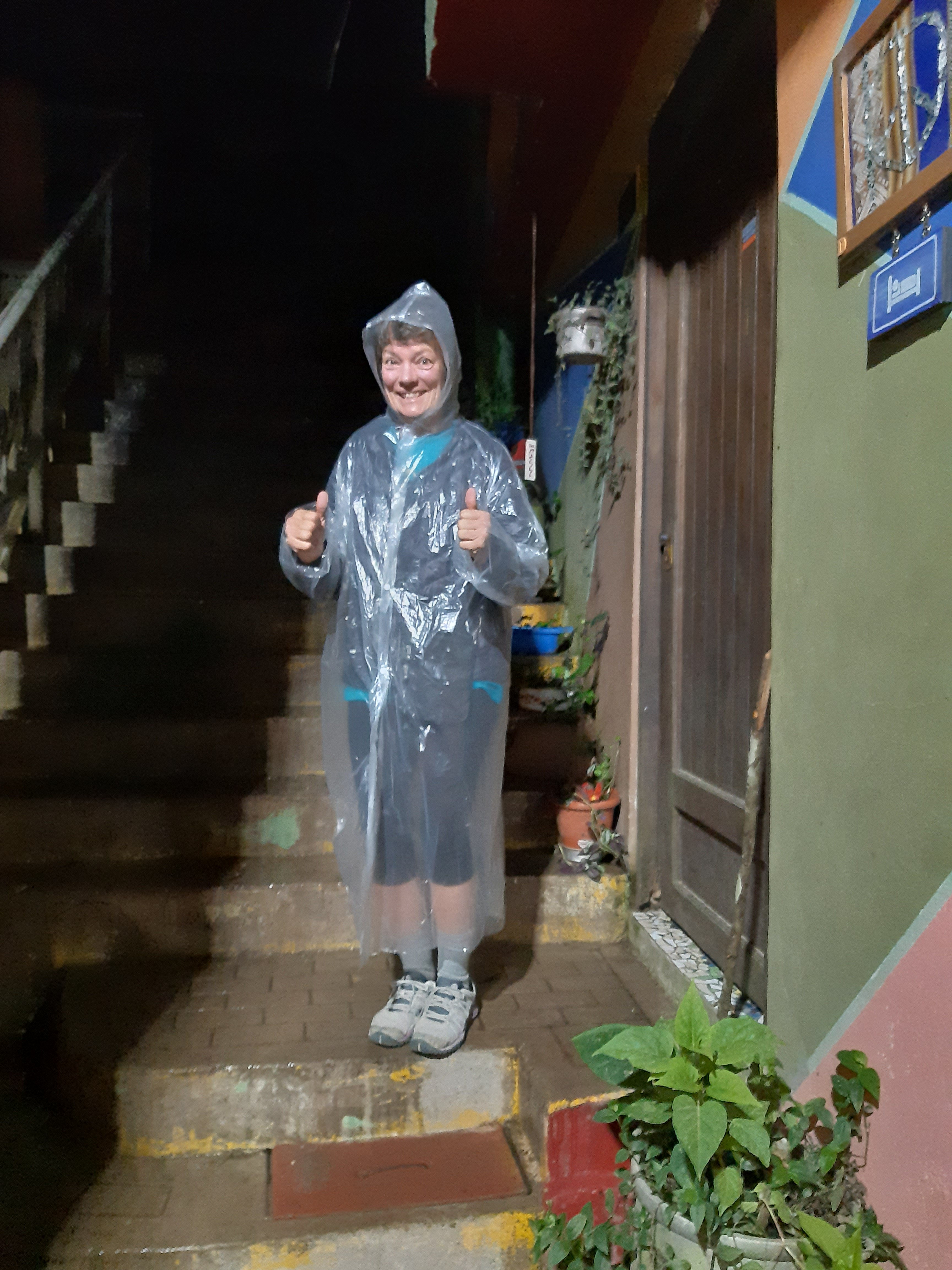
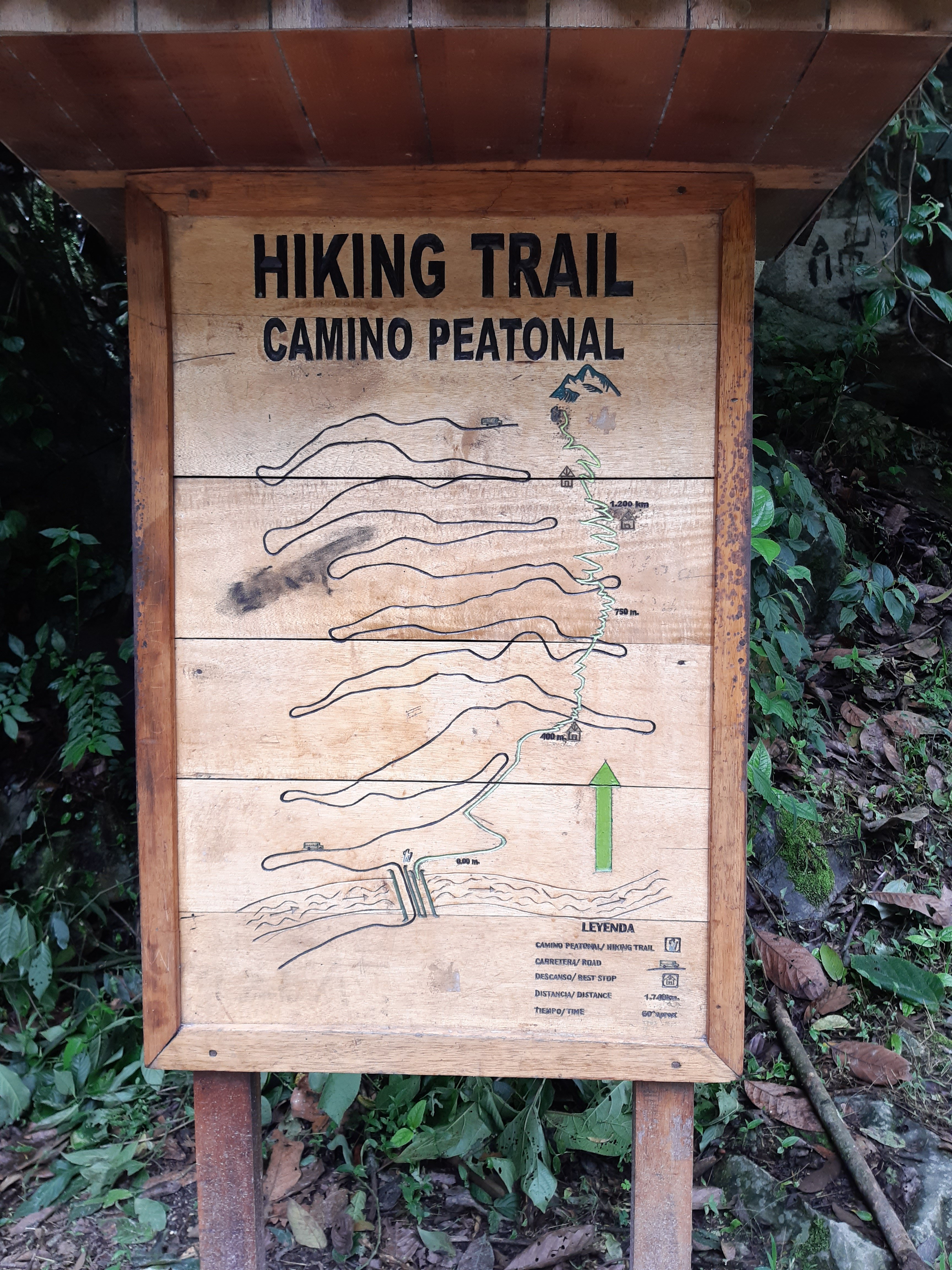
The hostel was willing to serve us breakfast at 4am, a hearty meal of bread, butter, jam, eggs and coffee, to which I added a cup of strong coca tea for that energy boost I knew I was going to need. We started out on the first 2km trek at 4:15am, in darkness and pouring rain, not talking much. People were passing us at full speed all the time, and I wanted to tell them it was not a race, but thought better of it and kept my thoughts to myself. We were stopped at the bottom gate, where for some reason or other they had to check our passports and tickets. We waited in the queue for about 20 min before they opened the office, which meant that we got to the top after 6am, the time that the gates open. By then busloads of people had been dropped, but it was still okay.
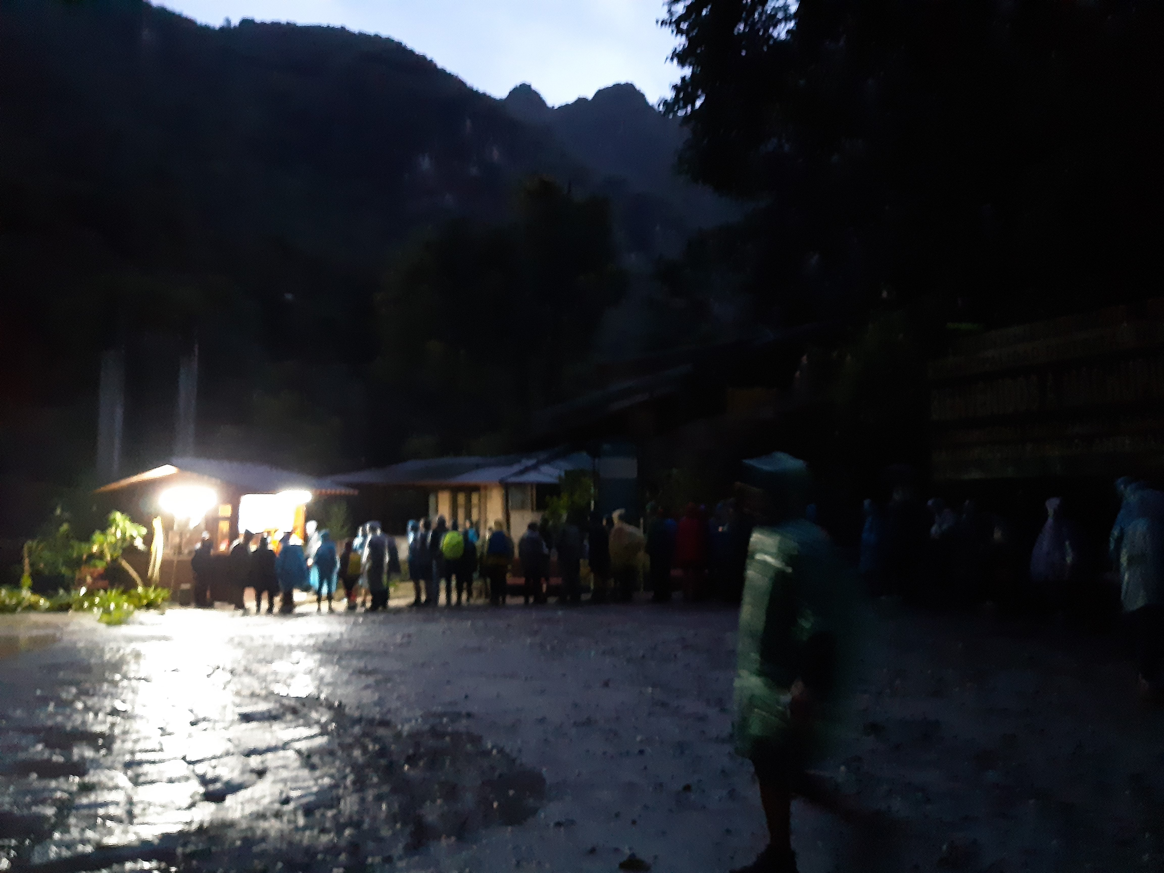
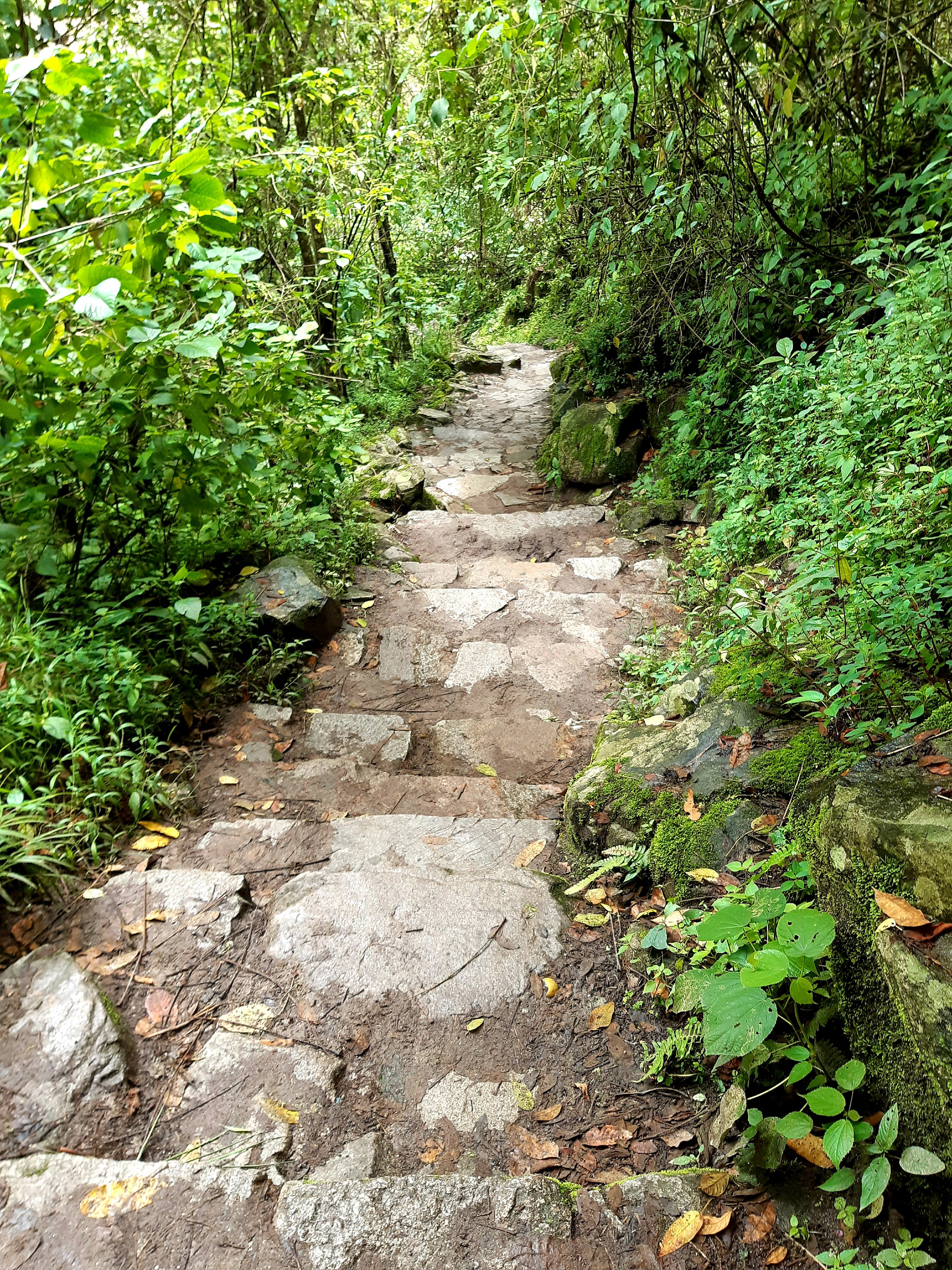
The path is paved with rock steps and goes straight up, wheras the buses take the zig-zag road. As dawn started breaking the rain eased up a bit and the view became more and more breathtaking.
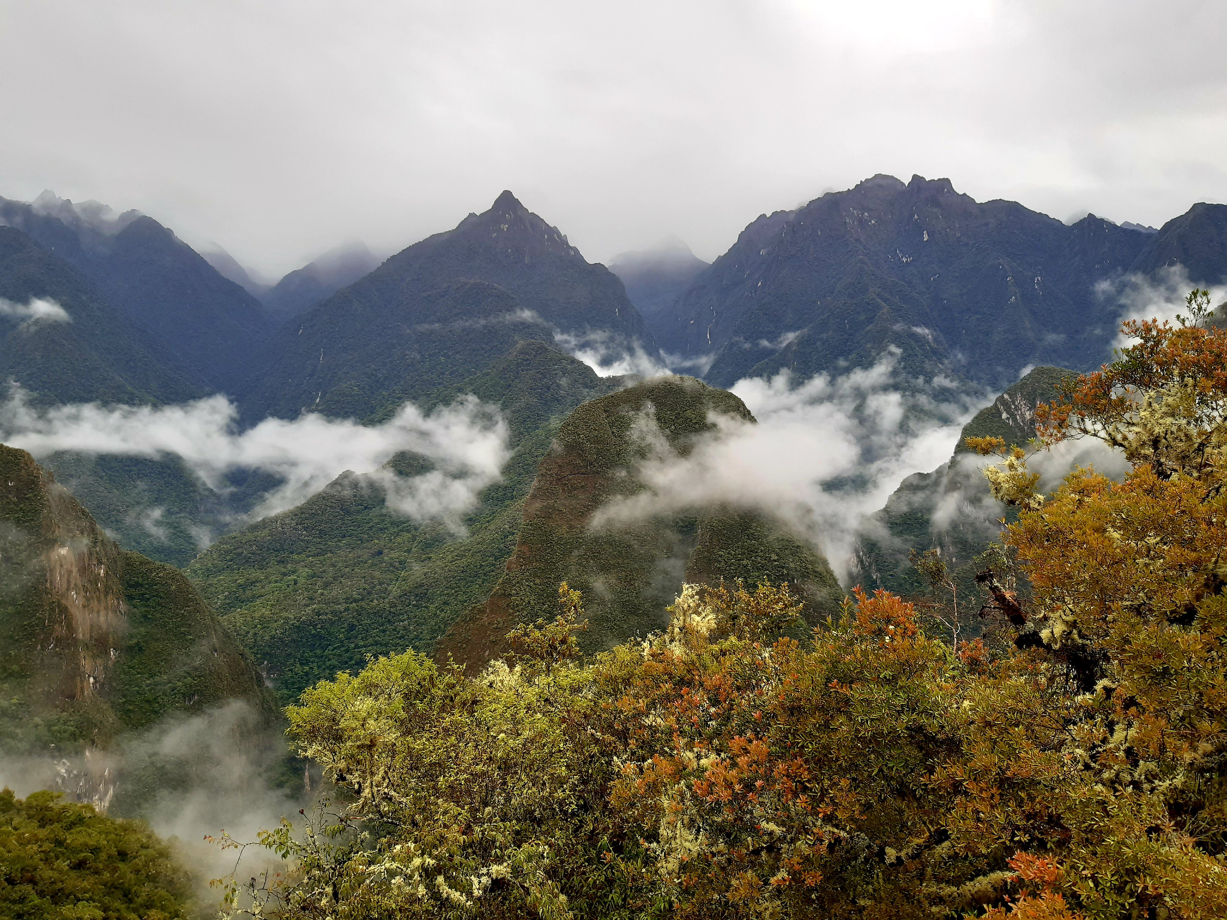
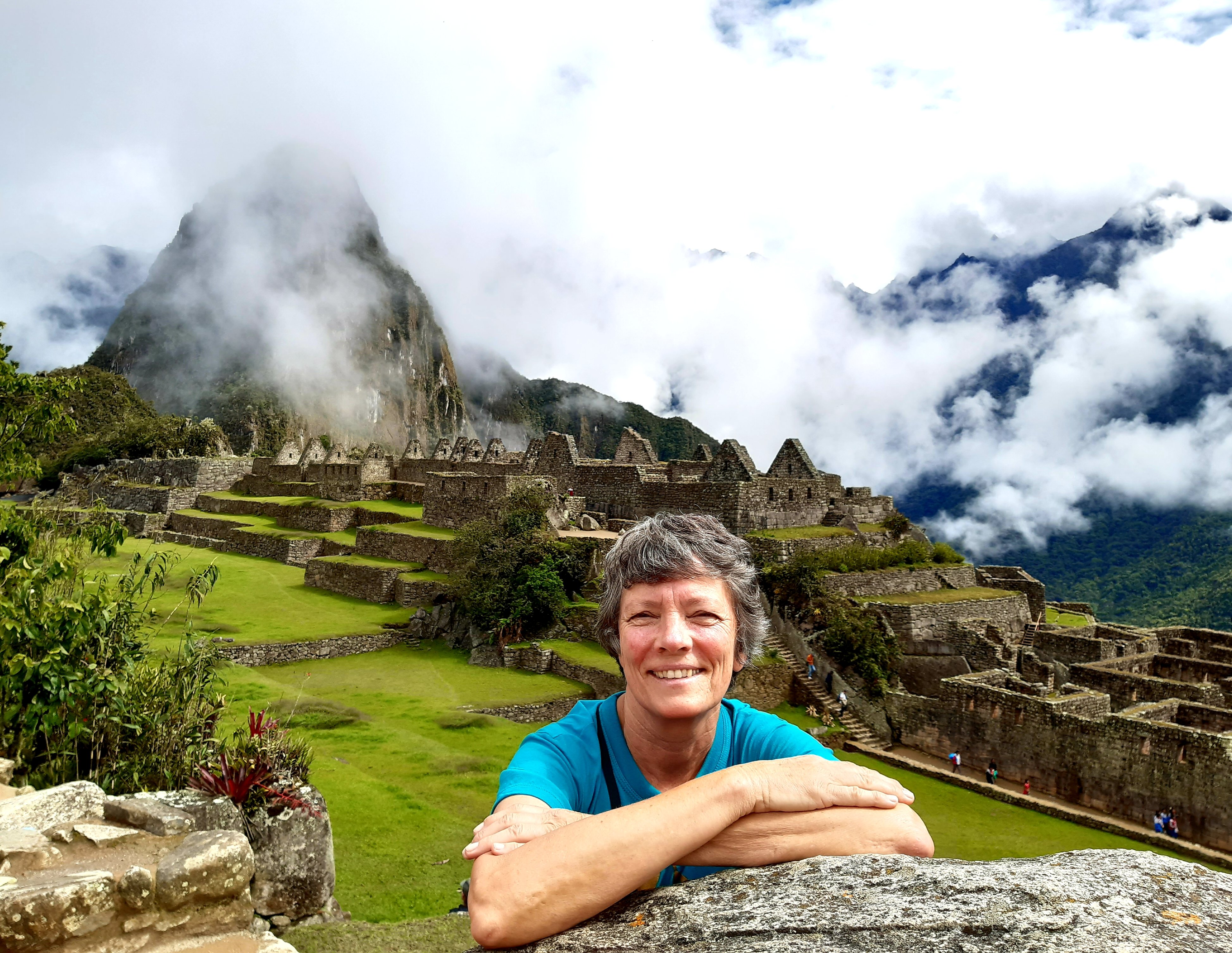
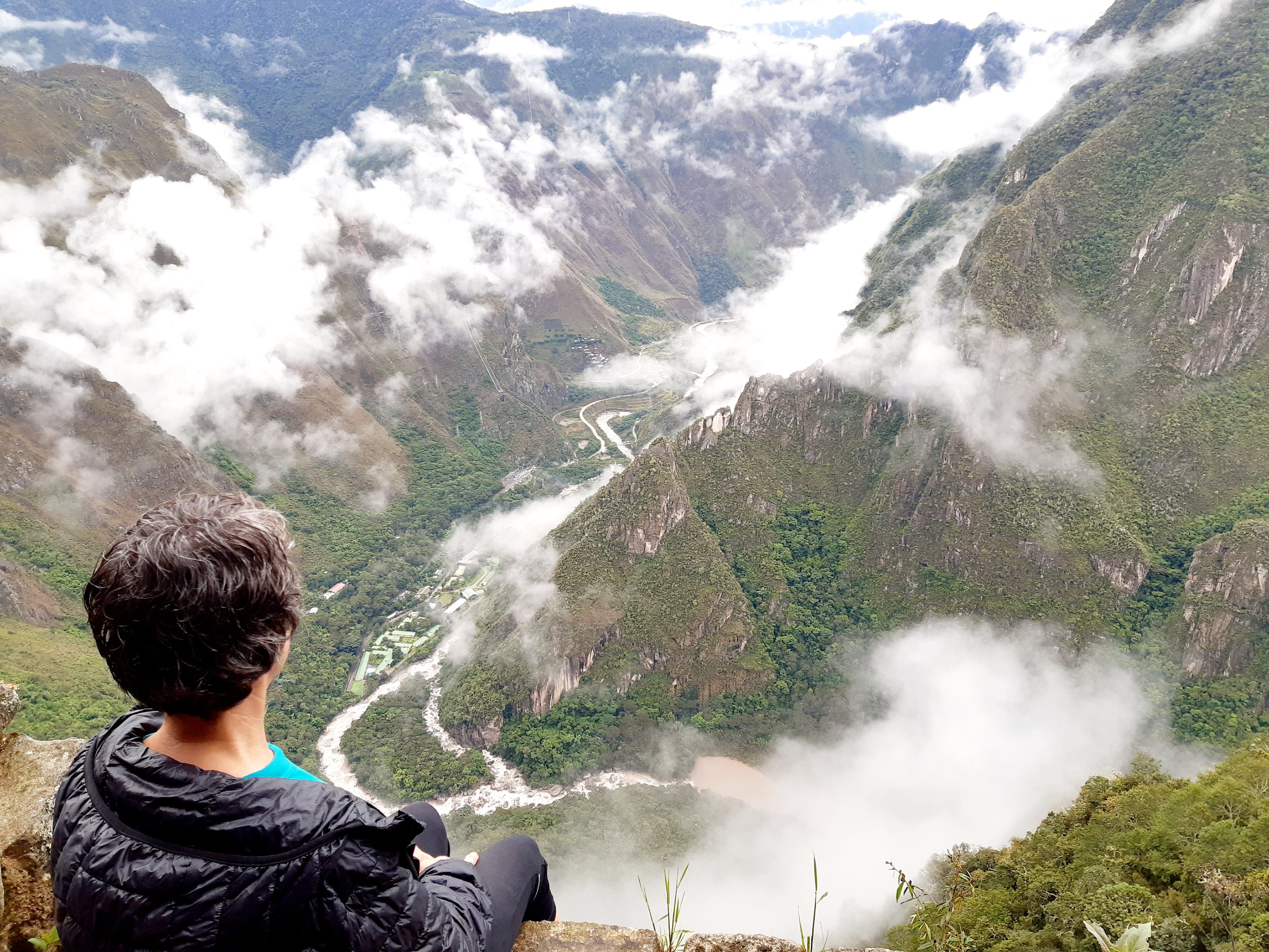
By the time we reached the top, I was soaked, a mixture of rain and sweat, but the view made it all worthwhile. I will let the pictures speak for themselves.
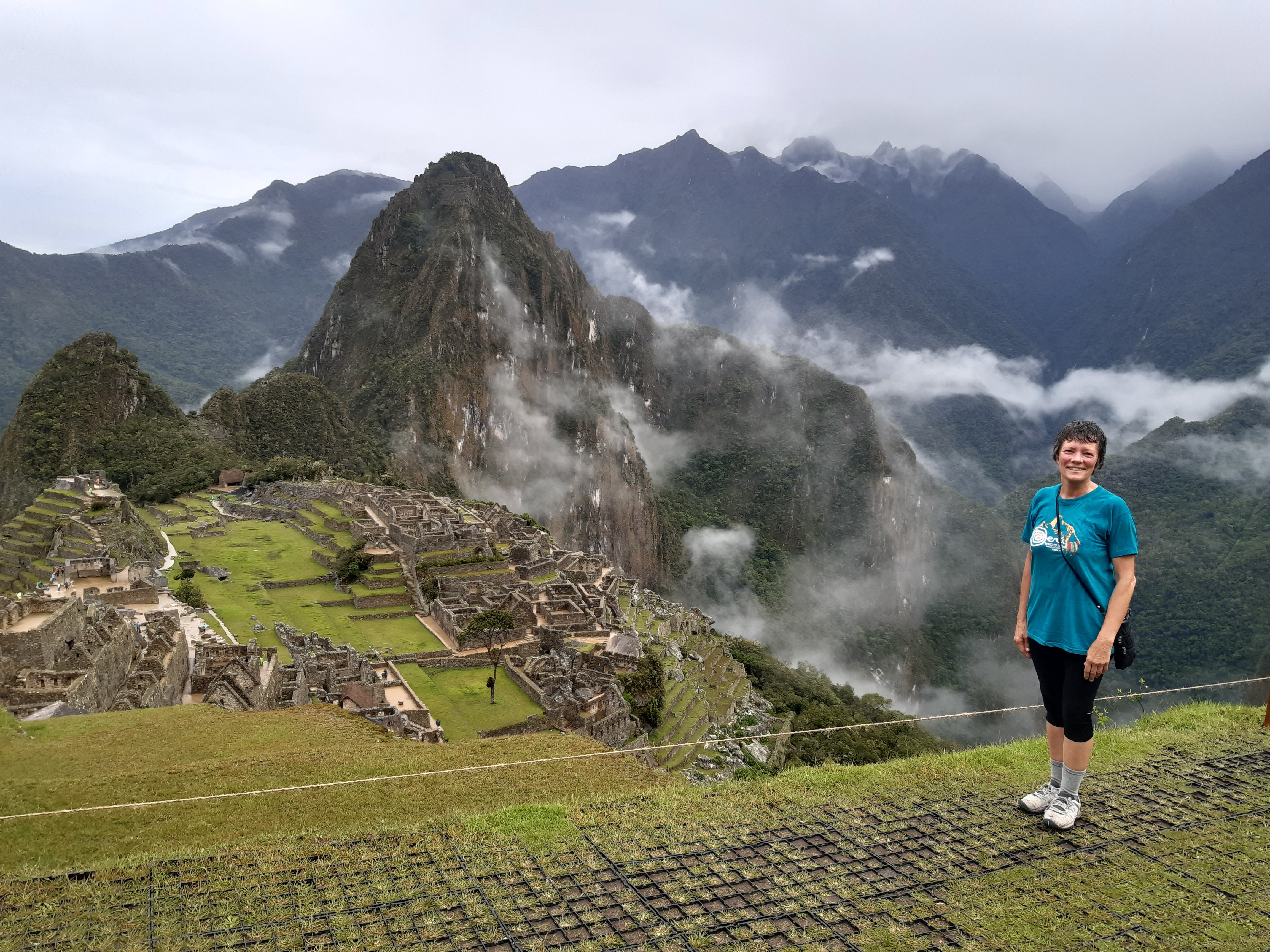

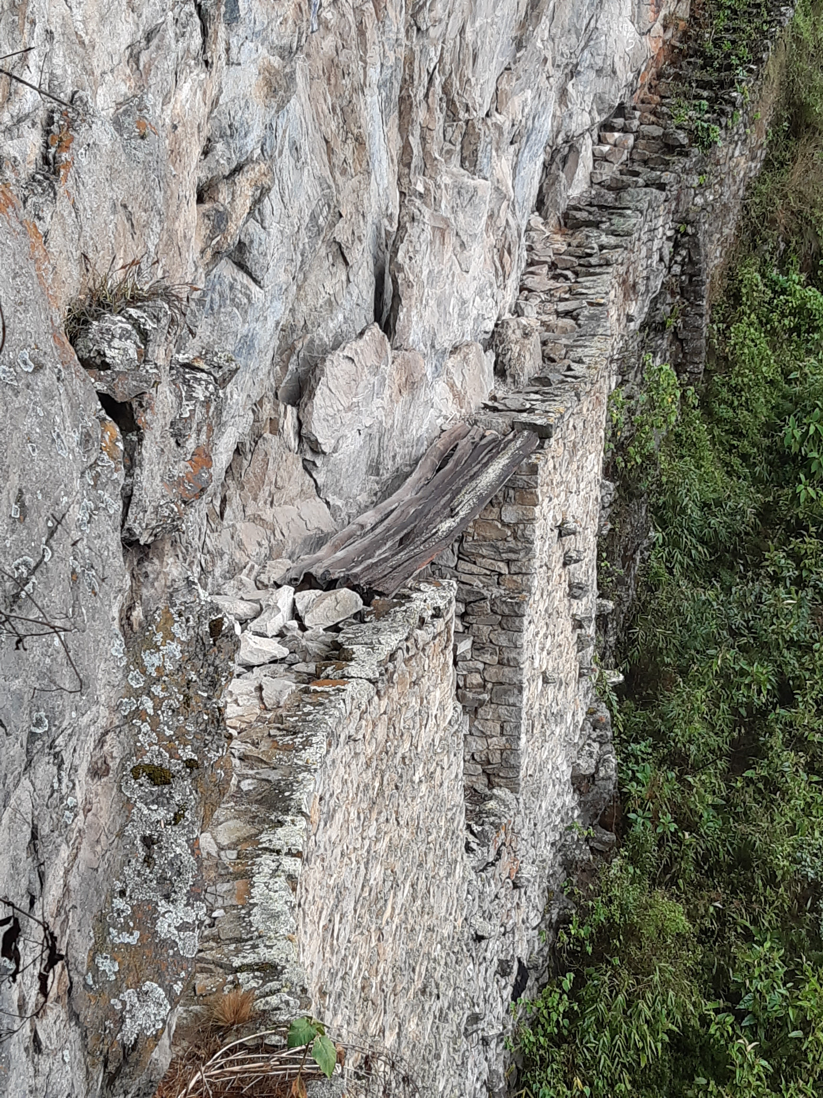

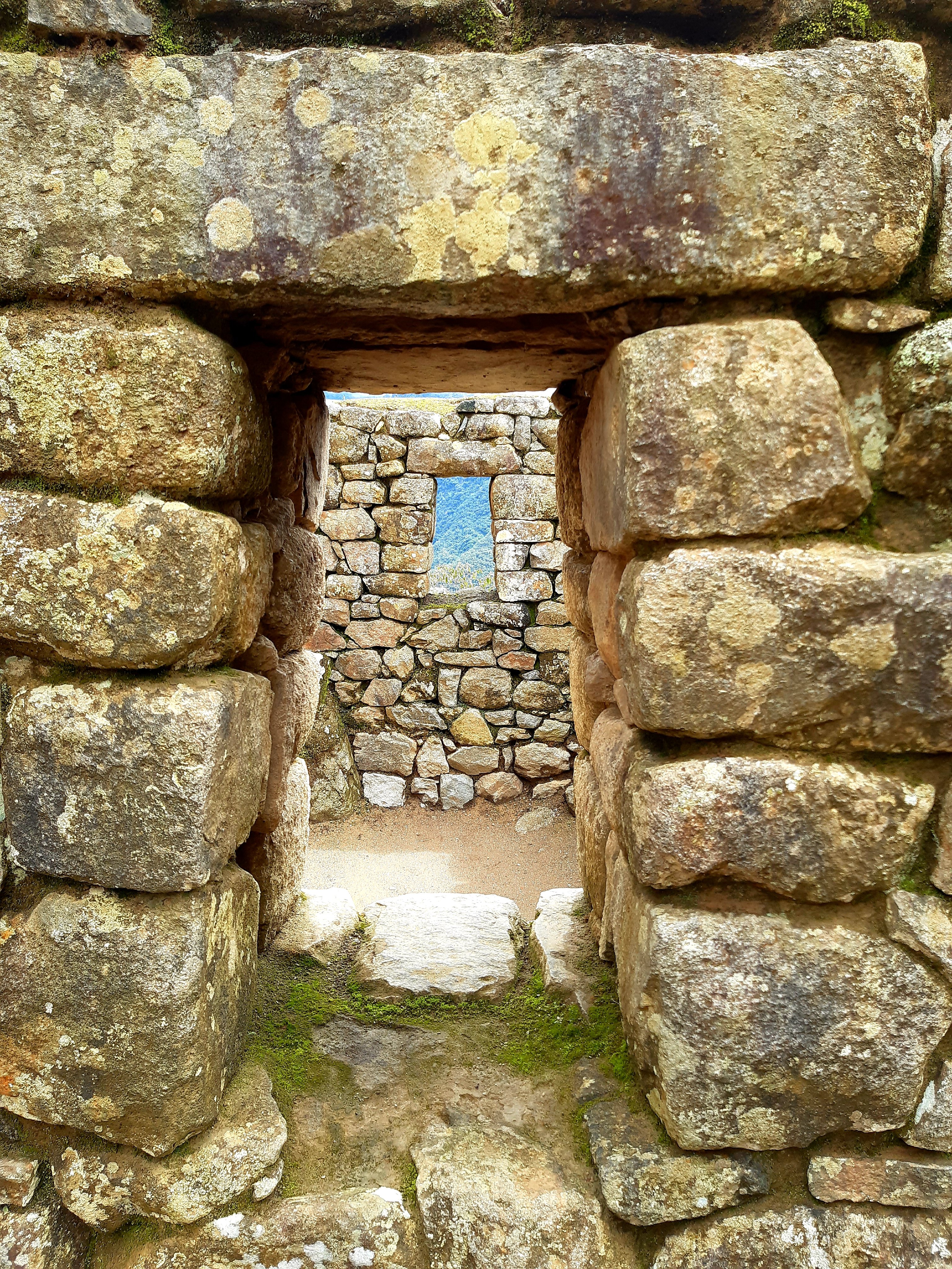
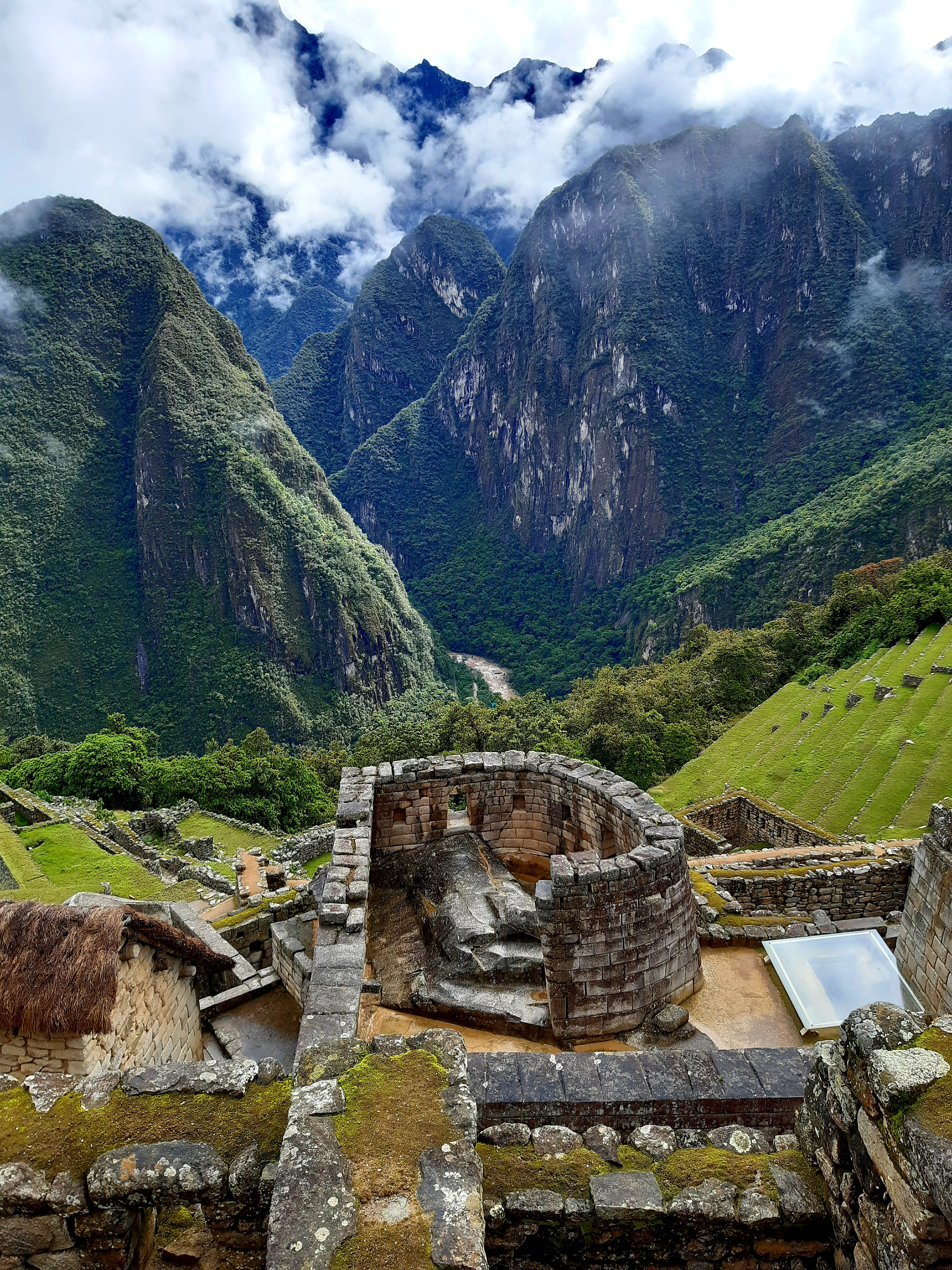
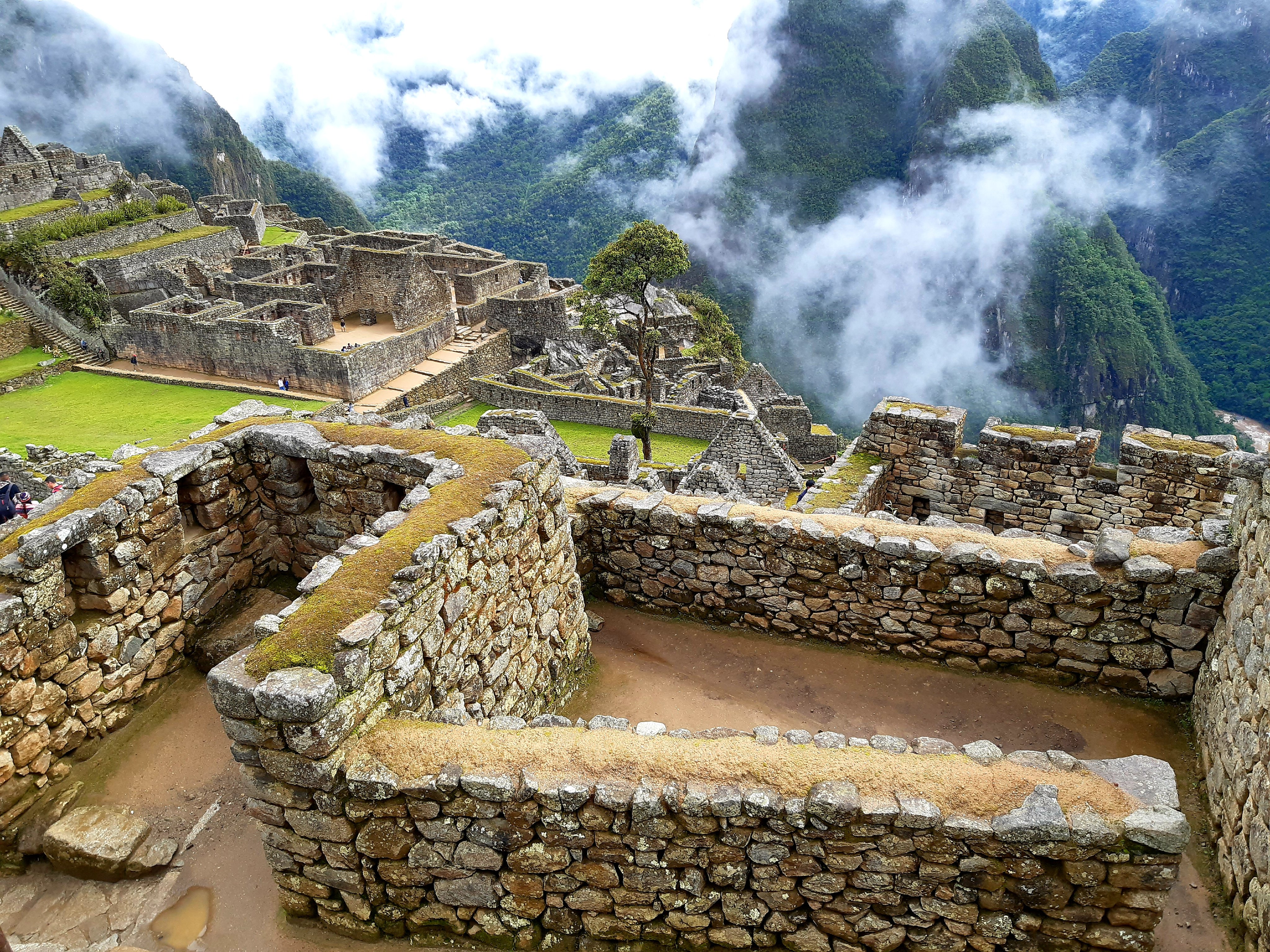
Machu Picchu has a perfect location in a big bend in the Urubamba river with sheer cliffs forming protection on 3 sides. The remaining side had only two entrances, one the Inca trail and the other the Inca bridge, which is a kilometer or so to the west of the ruins. One is not allowed to walk onto the bridge (thank goodness, as you can see from the photo), but how the Inca’s managed, heaven knows.I have the greatest admiration for the Inca’s and what they managed to accomplish so many years ago. It is sad that they only occupied the citadel for about 80 years, but a good thing it was not discovered by the Spanish, else it might have been destroyed as many other buildings were. It was slightly discomforting to have to walk along designated one-way pathways, even having signs saying: ‘don’t stop, keep on moving’. Made one feel a bit ‘sheepish’ and pressurised.
For me, ultimately, it was an unforgetable and exalting nature experience, one that literally made me feel on top of the world.
 Going up
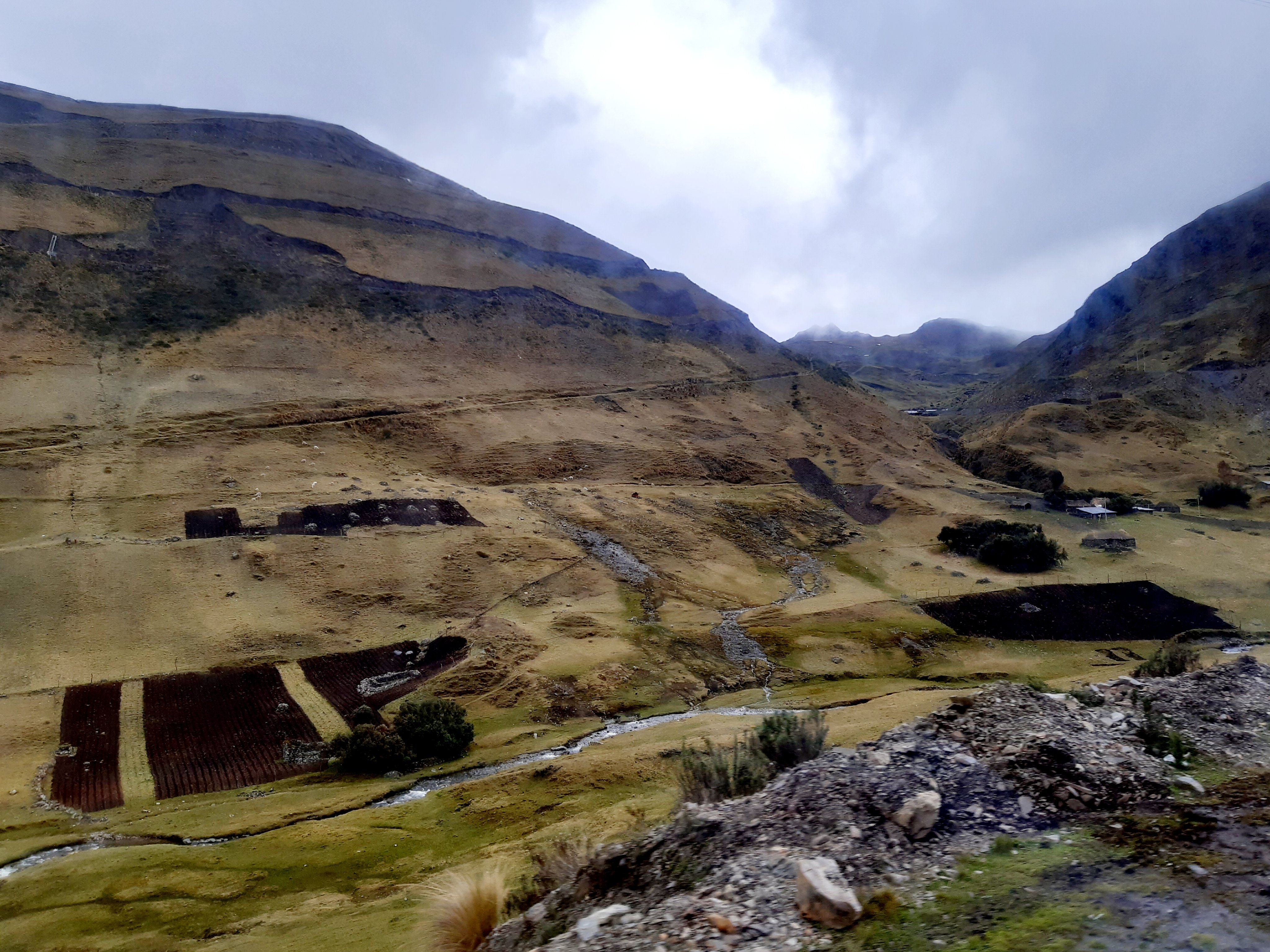 At the top, black soil turned up in the lands.
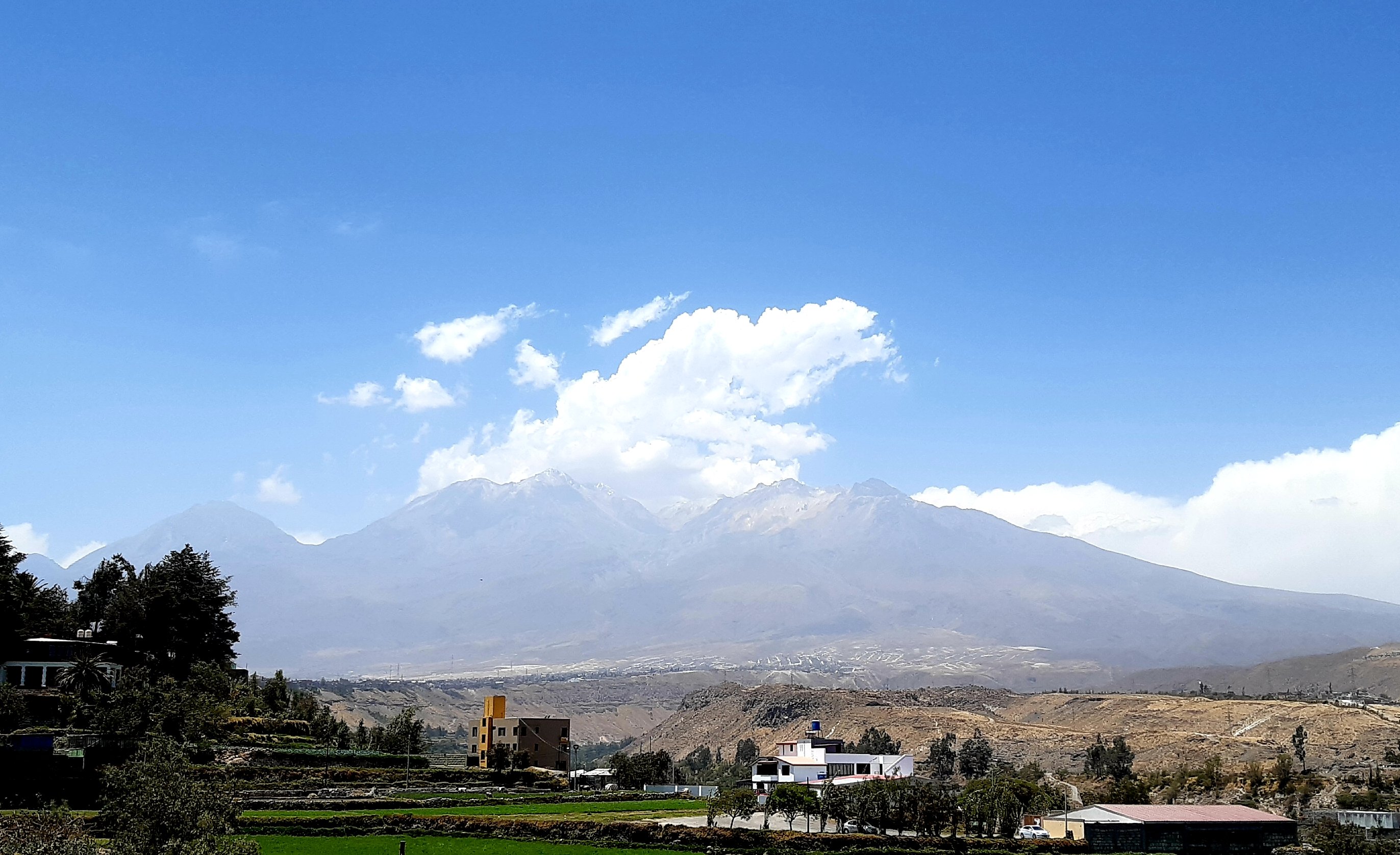
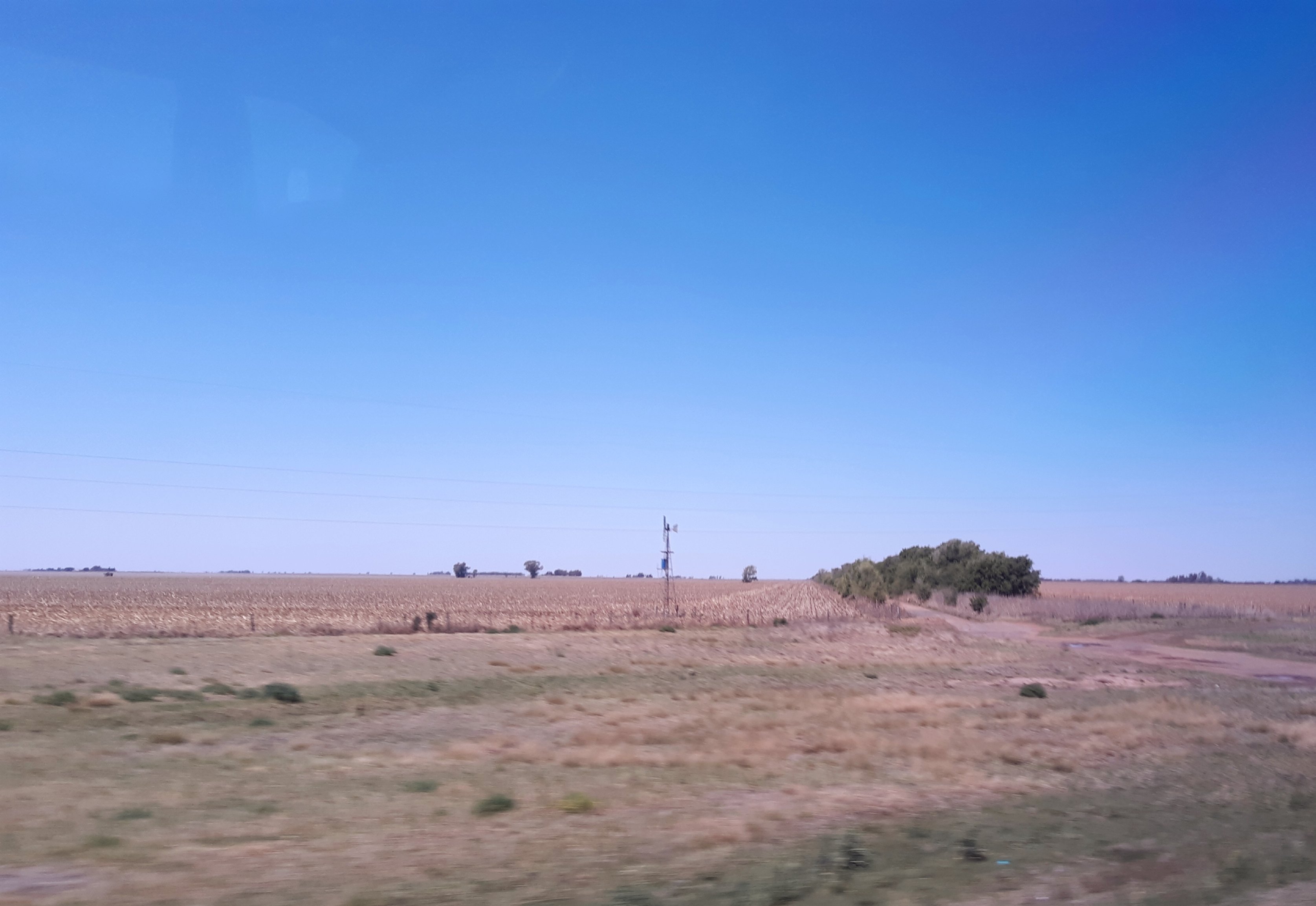
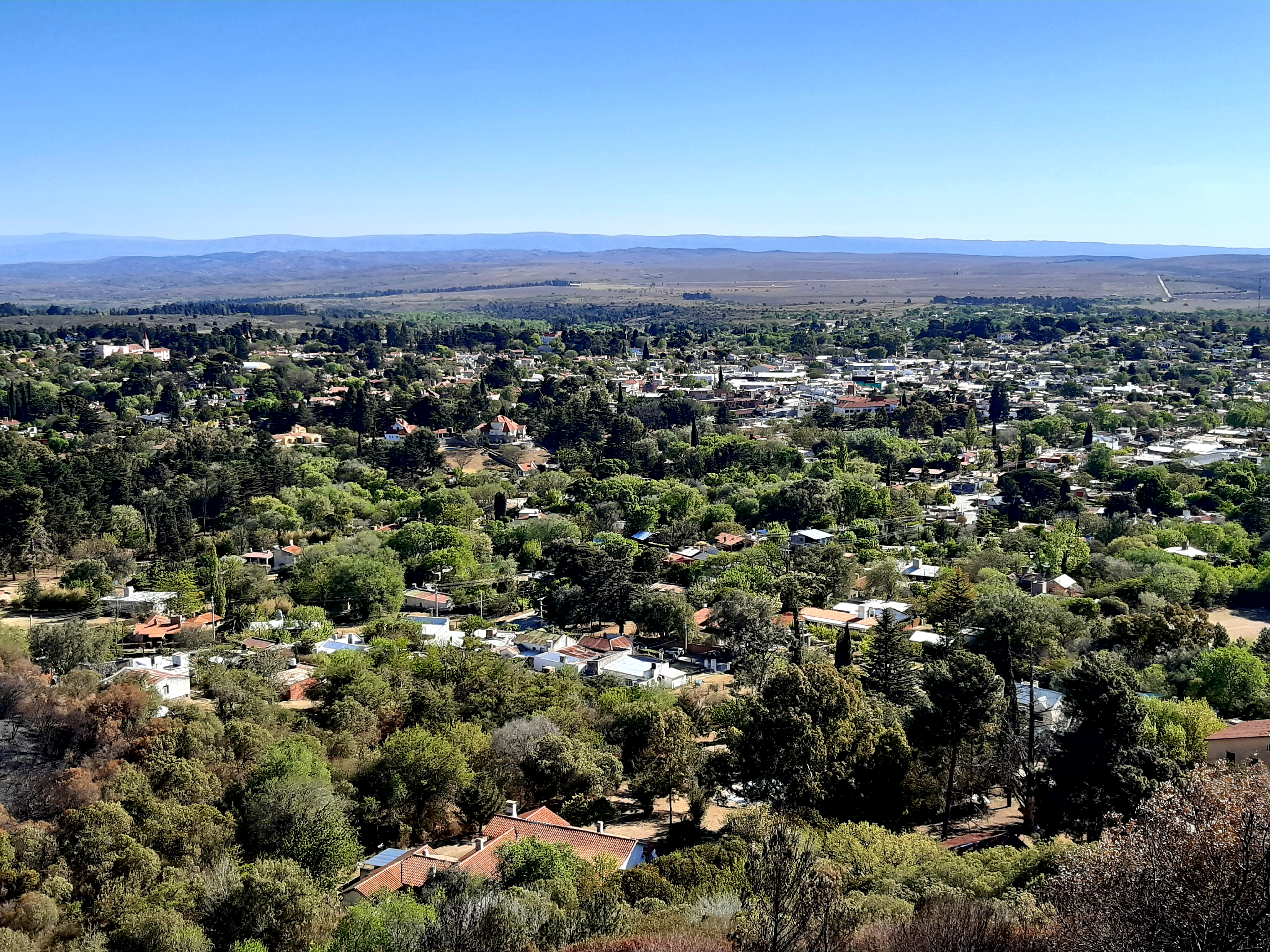
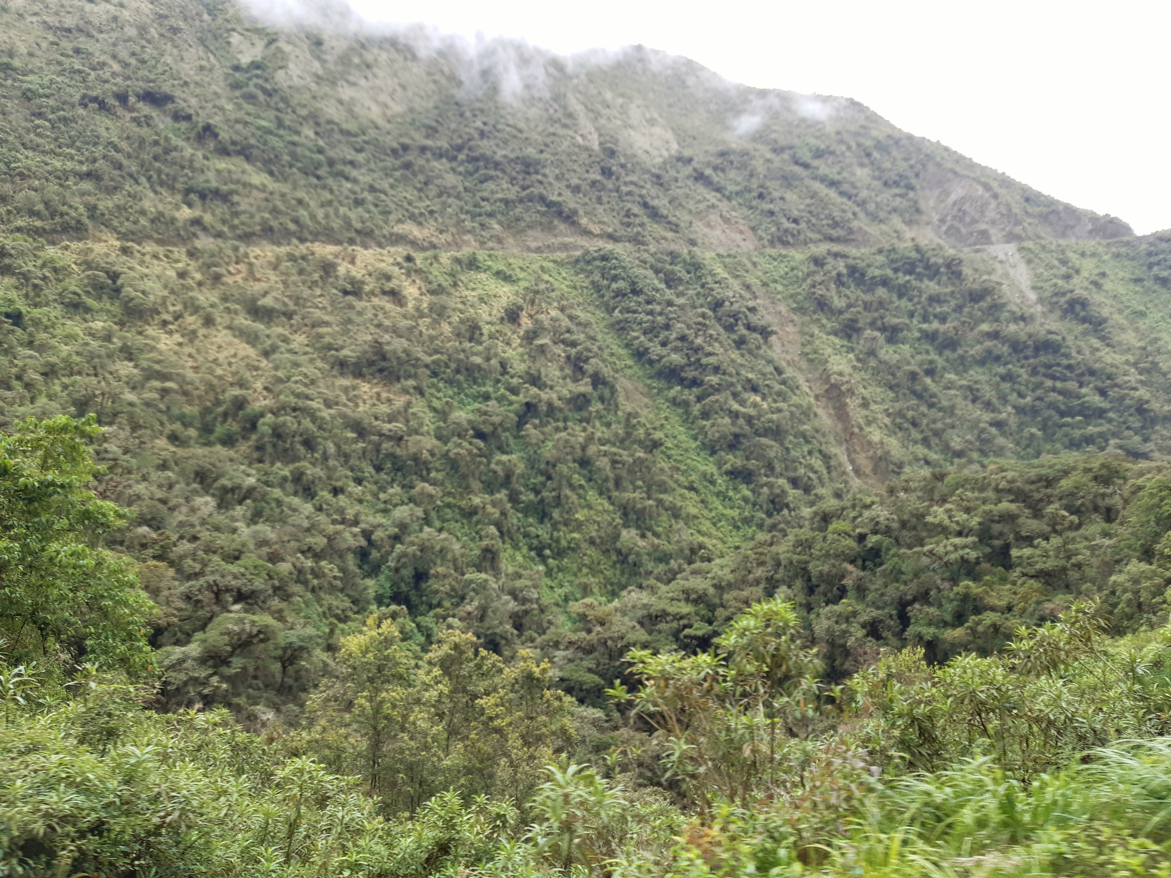 Altogether different landscape on the other side, lush and green. Quillabamba is on the edge of the Amesone forest.
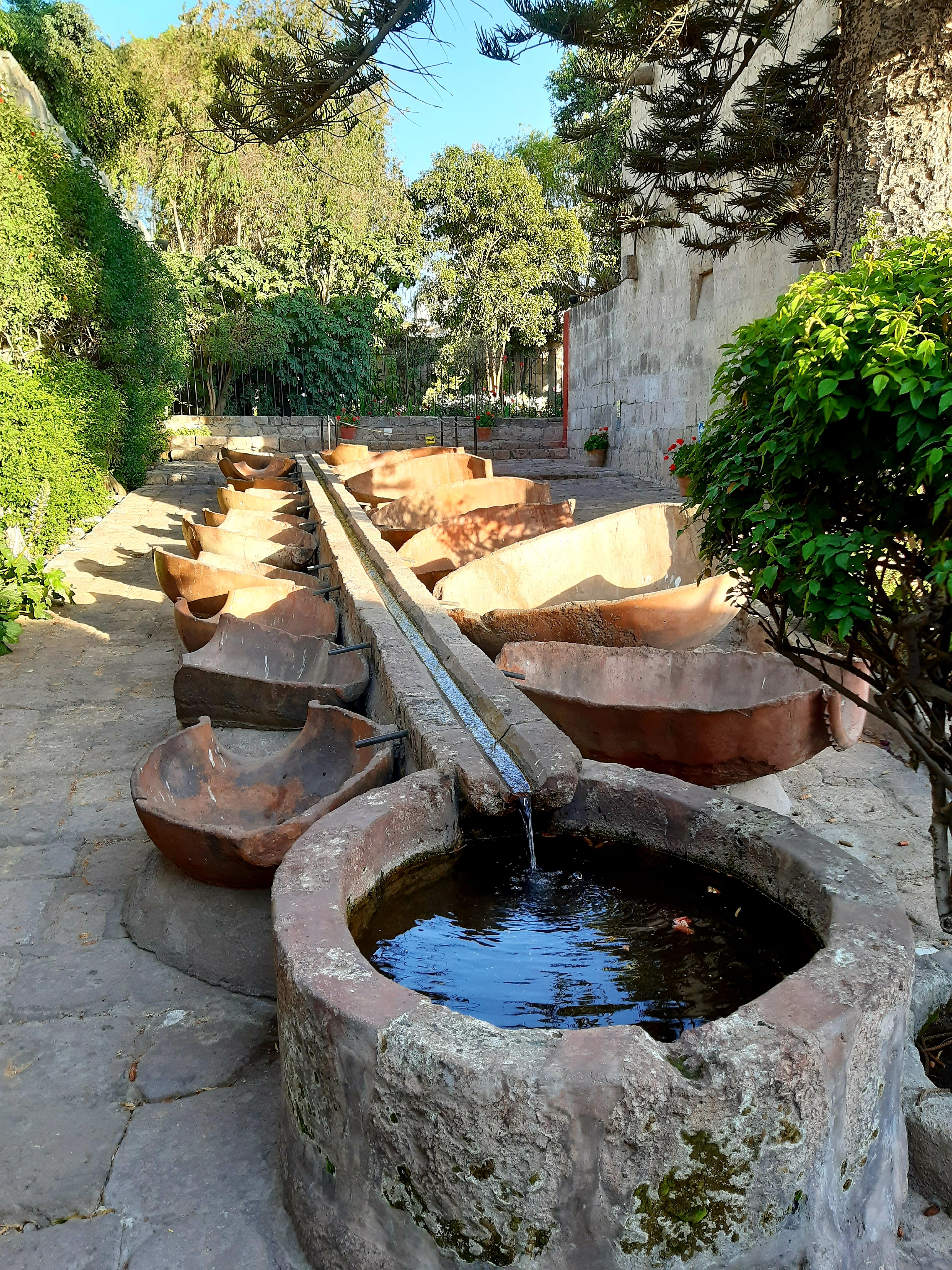
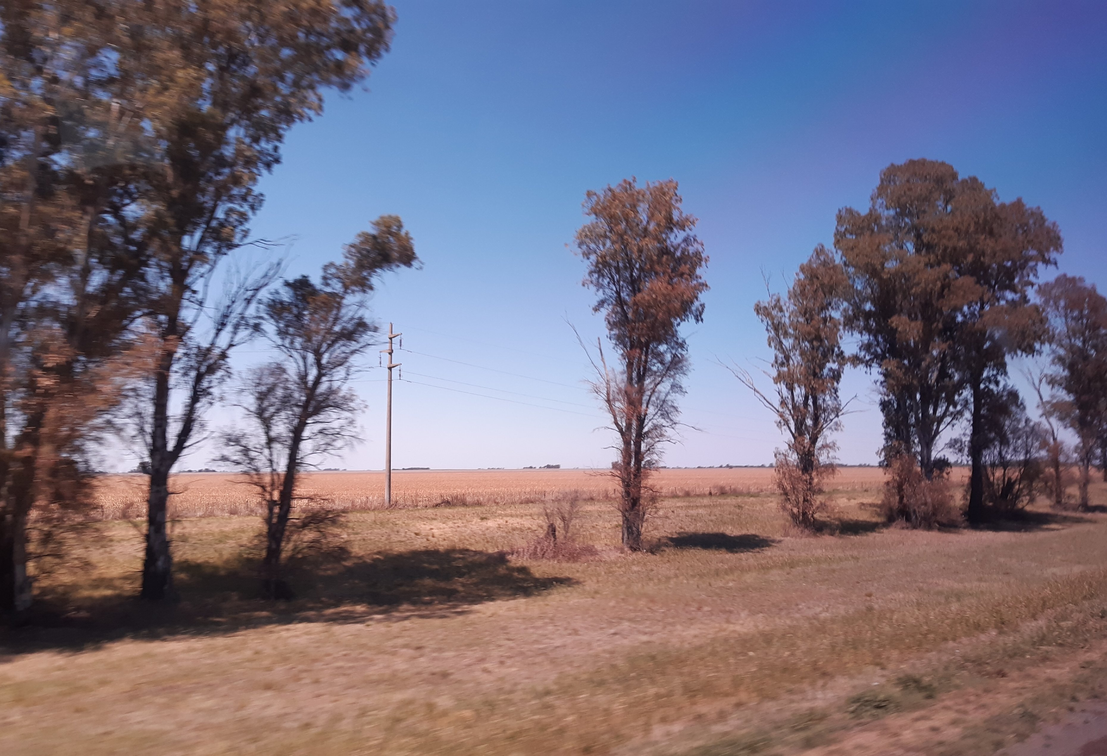
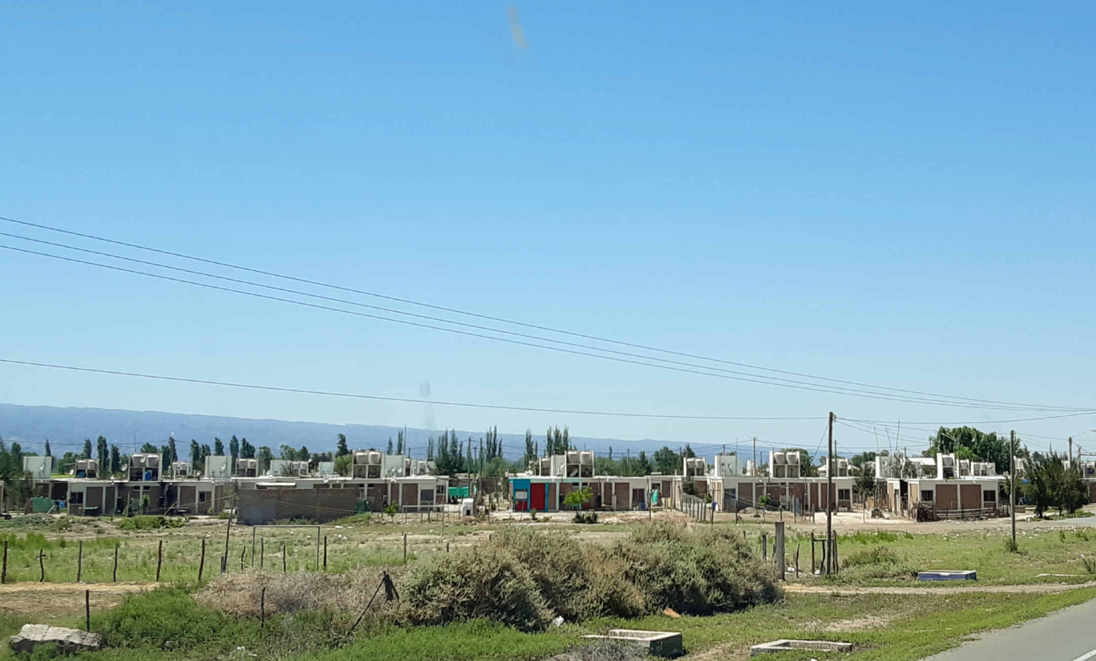
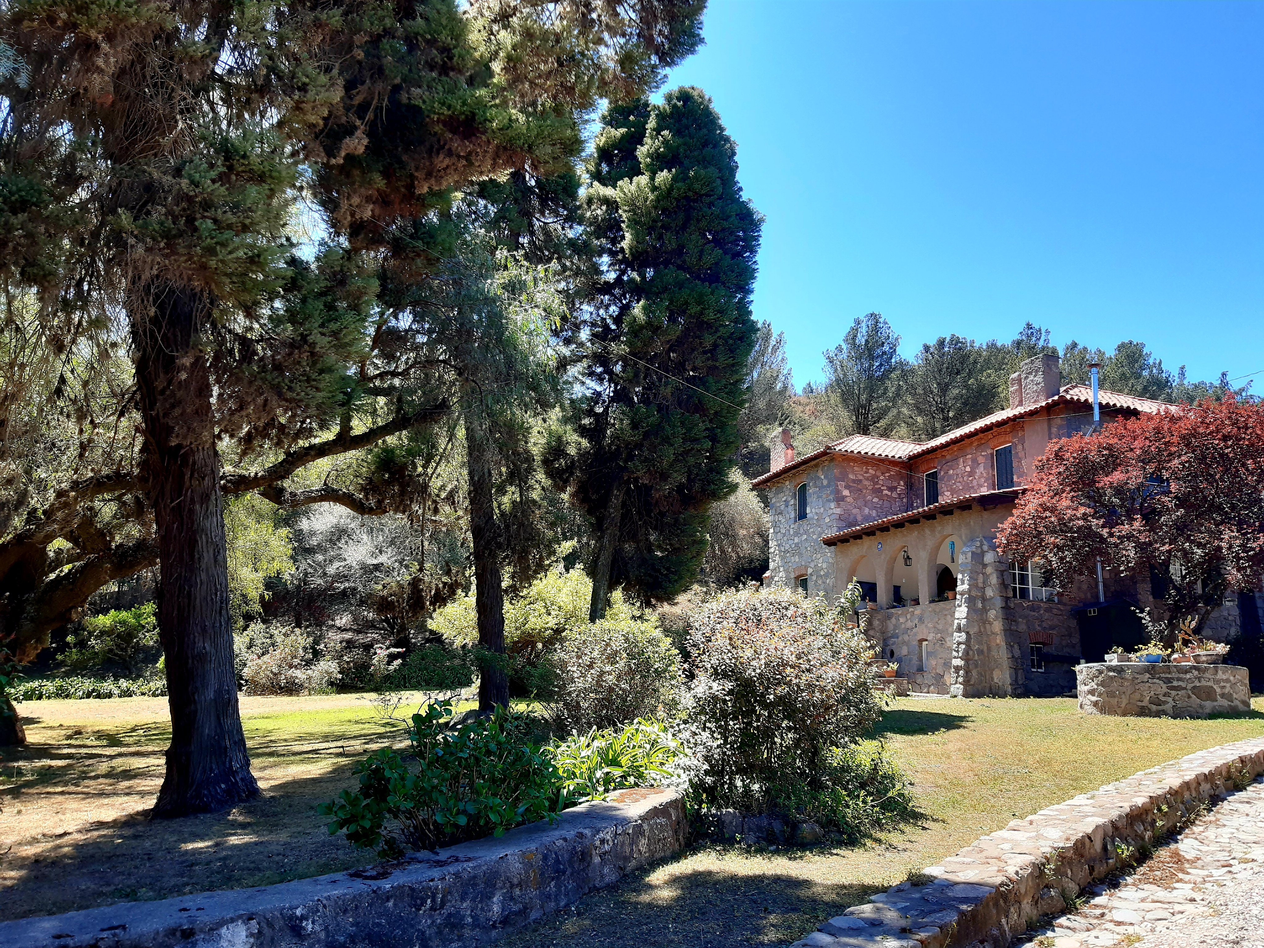
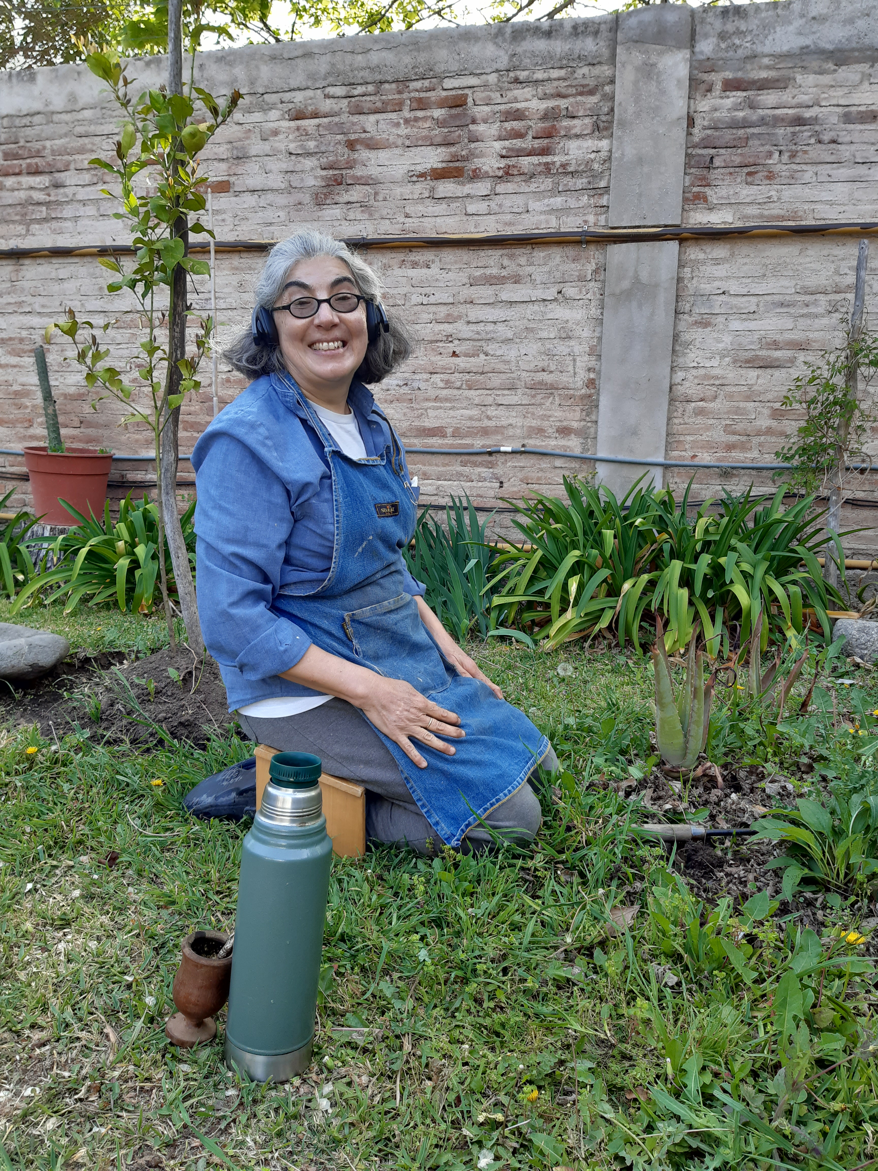
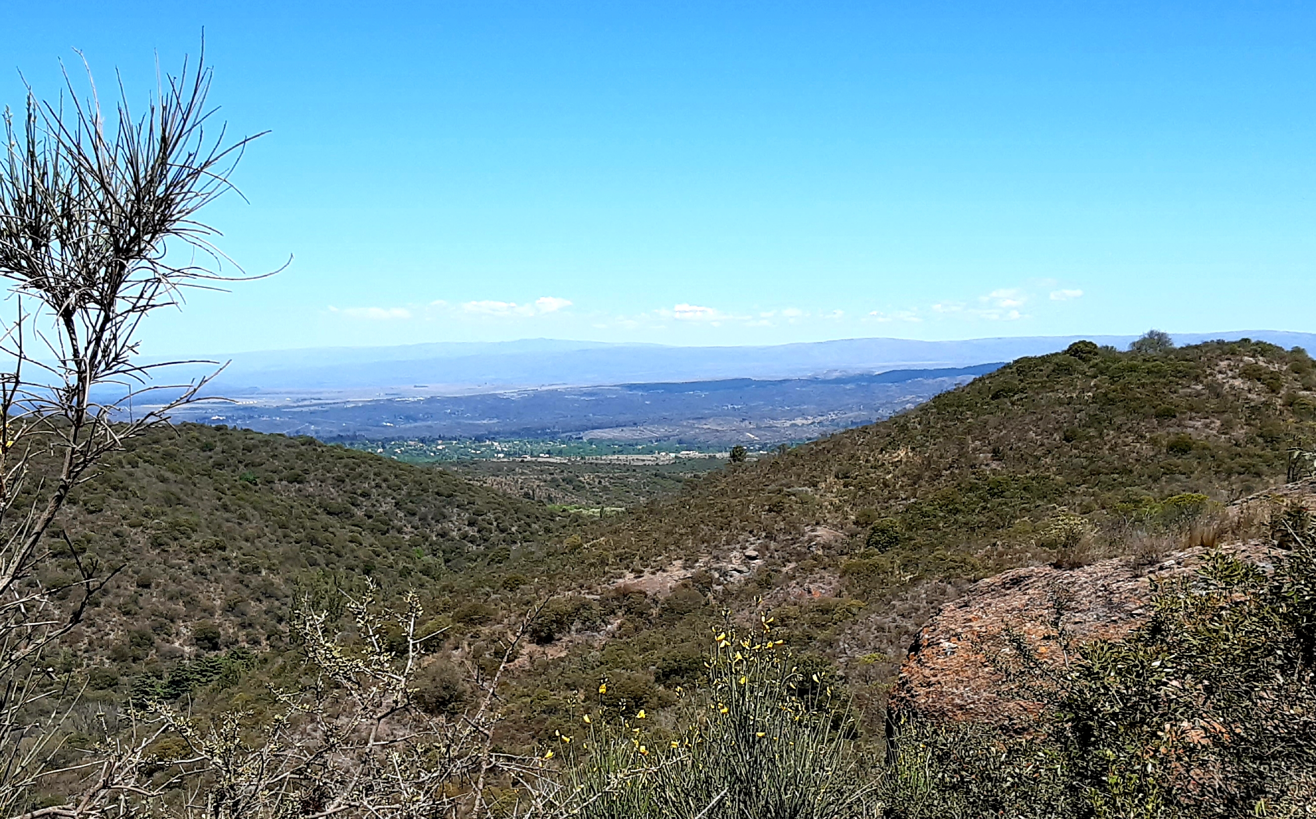
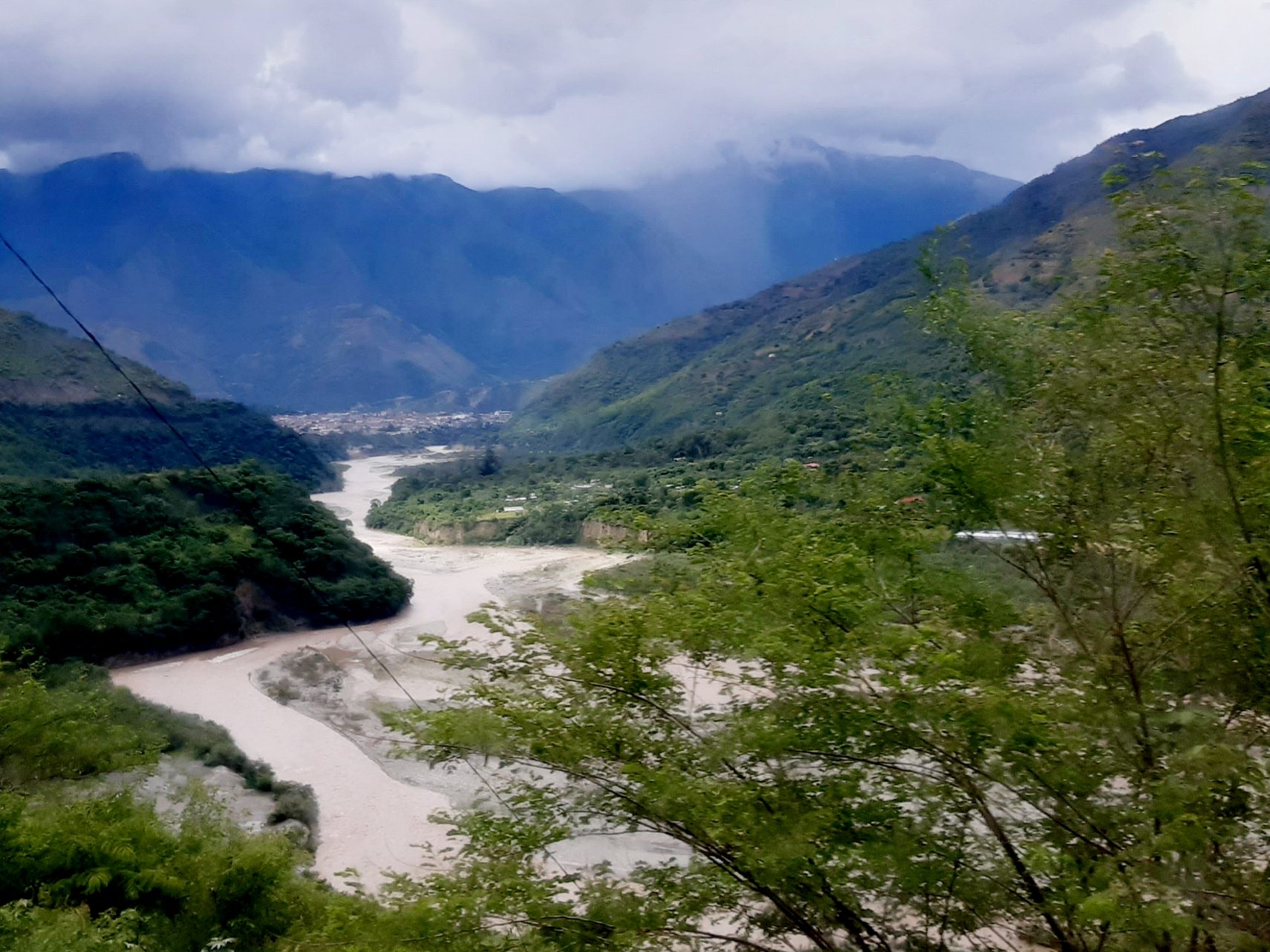 The river is called the Urubamba, and runs through the Sacred Valley which is at the foot of Machu Picchu. Quillabamba is 2hrs north of Machu Picchu, and can be seen in the far distance of the above photo.My Workaway volunteer work for this month is with Jennifer, her husband Darsey, and three children. They run an art institute which they started 3 years ago, and offer guitar and piano lessons, ballet, drama, cooking and art for small children and adolescents. Evidently Jennifer arrived here with nothing but a pot for boiling rice and her rucksack, and started the business from the room she had rented and was living in, converting it to a studio during the day. Her story is inspirational, as she had to persuade reluctant fathers that art in its various forms was an important part of a child’s development. Today they have a thriving business with many children participating and they are involved in community activities and festivals.Gabriella (the other volunteer from Brazil) and I have our rooms on the 2nd floor, with a bathroom and a deck overlooking the mountains. The family occupy the 1st floor (or 3 rooms, the other 2 are classrooms), and the kitchen and 3 more classrooms are on the ground floor. Free board and one meal is provided, work is from 4 – 8pm on week days and the rest is free time to relax and explore. The family are all keen on the interchange of cultures, cooking and language and to have us take part in their activities. They have opened their home with warm hearts and are really want us to see as much of the area as possible. Jennifer speaks English, and I’m working hard at my Spanish to be able to communicate with the rest of the family. Apart from helping with the little ones, I am teaching English to her daughter and some friends, amidst much fun and laughter.
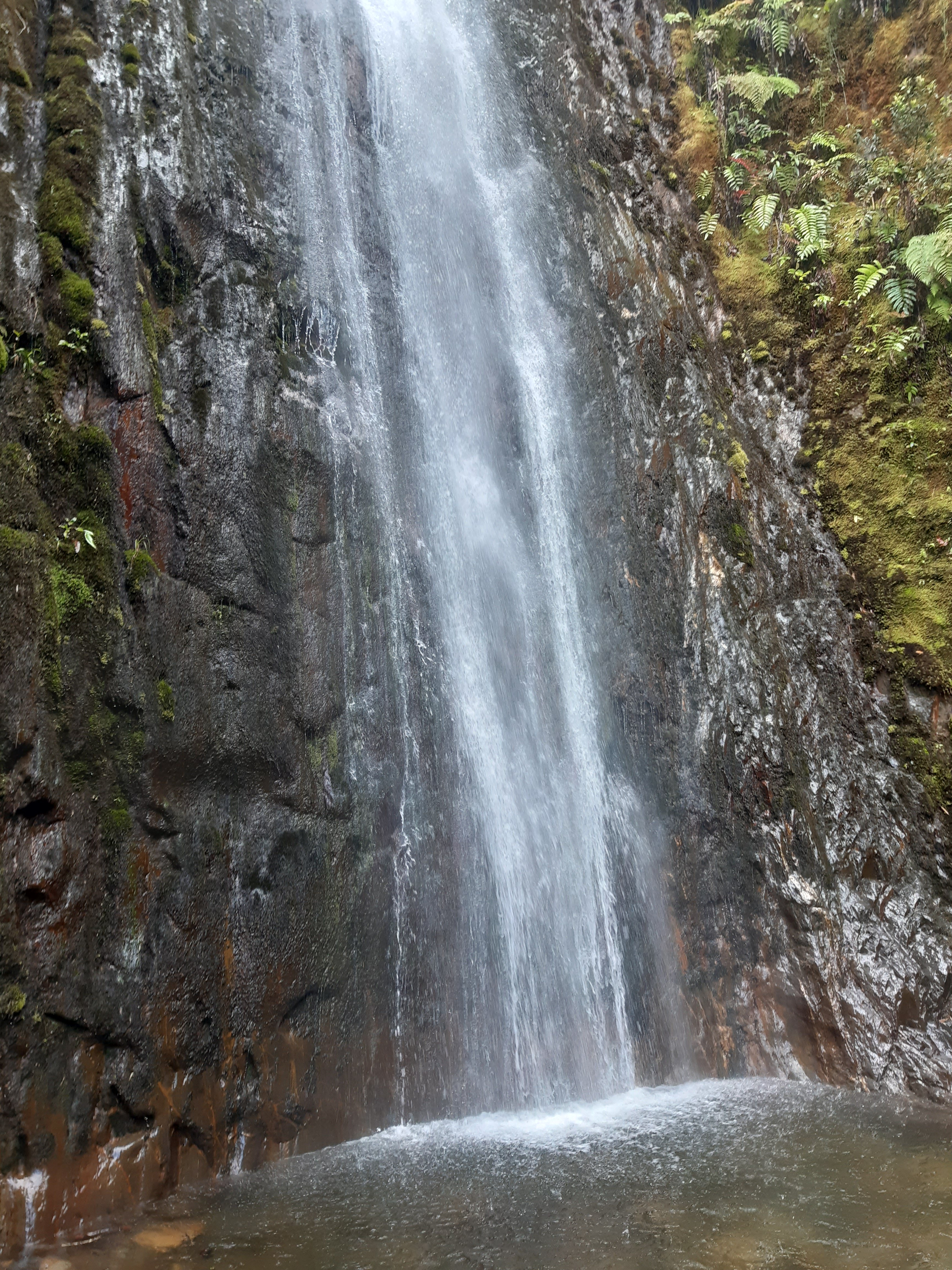
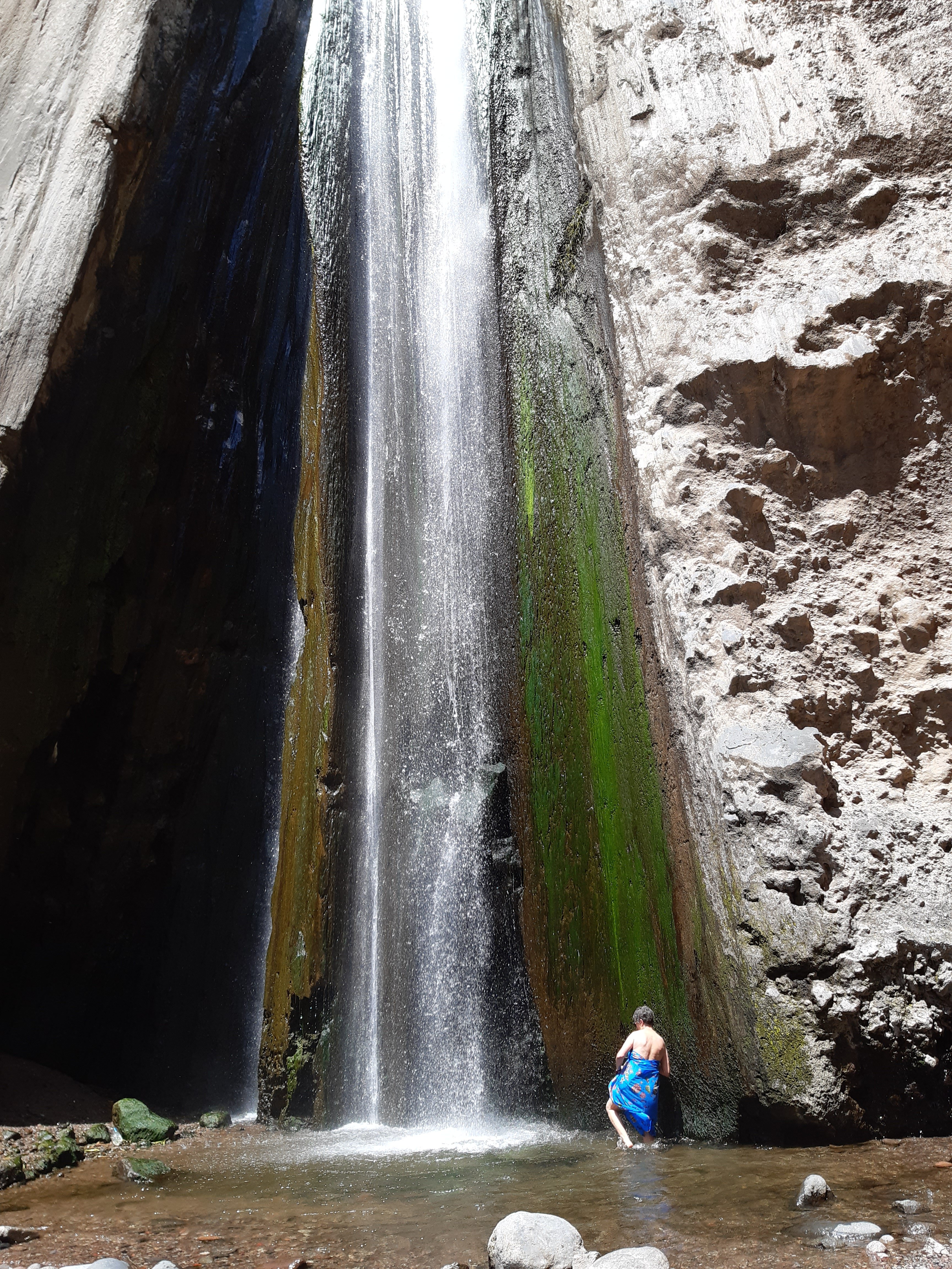
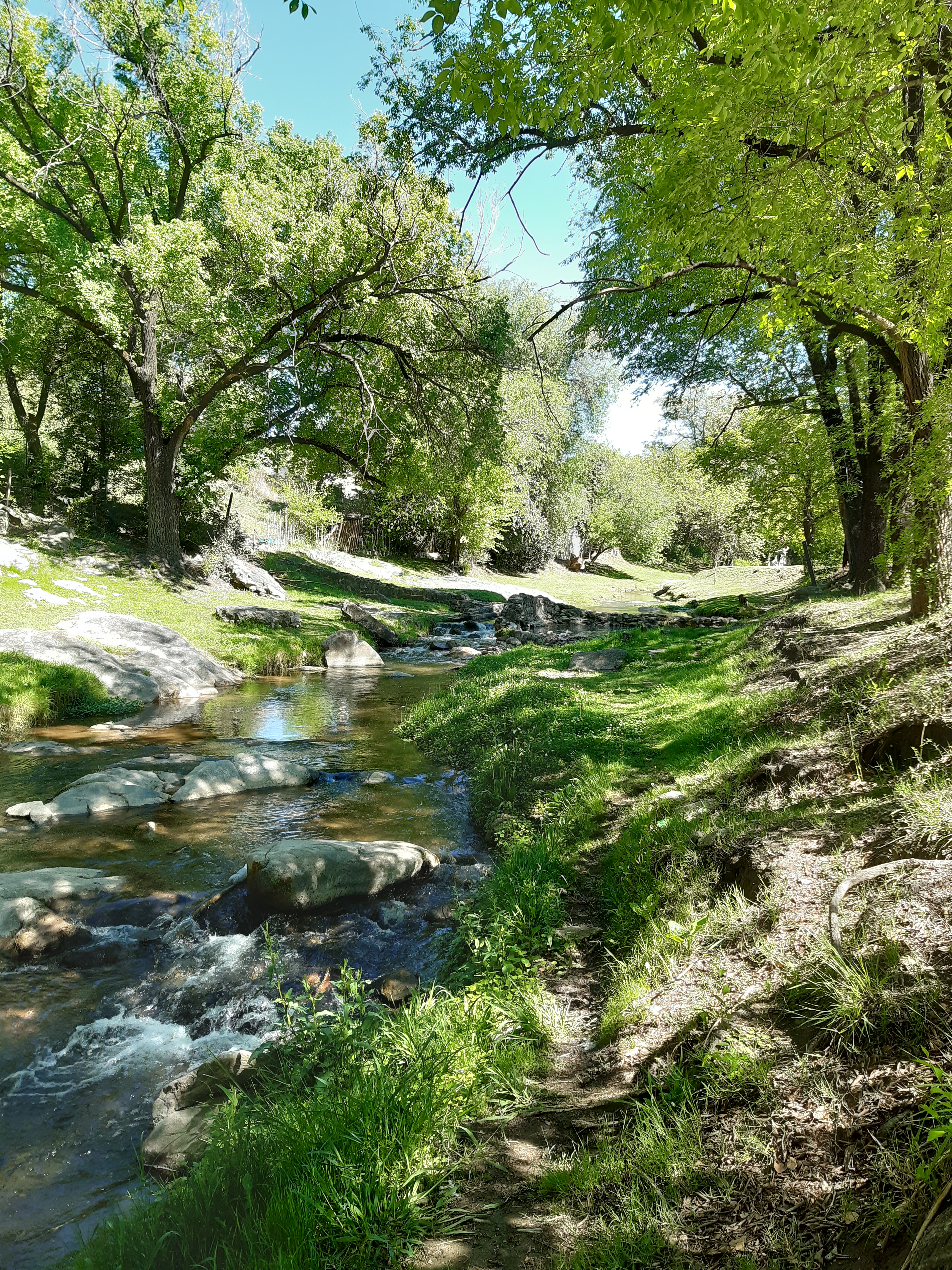
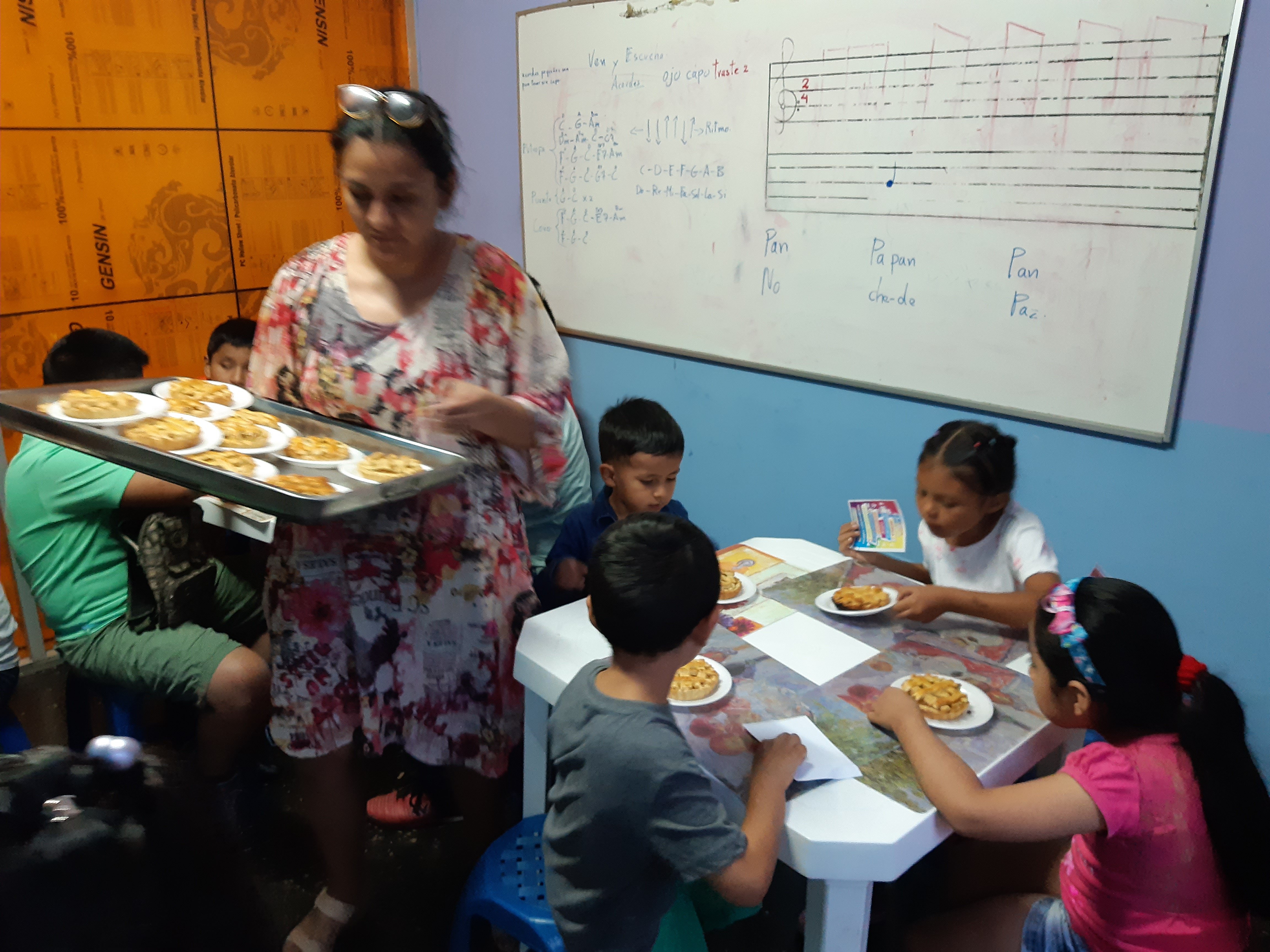 One of the good things about living with a local family is that one is able to do things in a non-tourist way. A trip to one of the many beautiful waterfalls in the area is done with a group who was started by an enthusiastic nature lover, and who go on excursions every weekend. The price is 20 soles instead of the 100 or 200 soles that tour guides would have asked. Dogs and children are part of the group, and we all got thoroughly soaked in a proper jungle downpour on the way back.
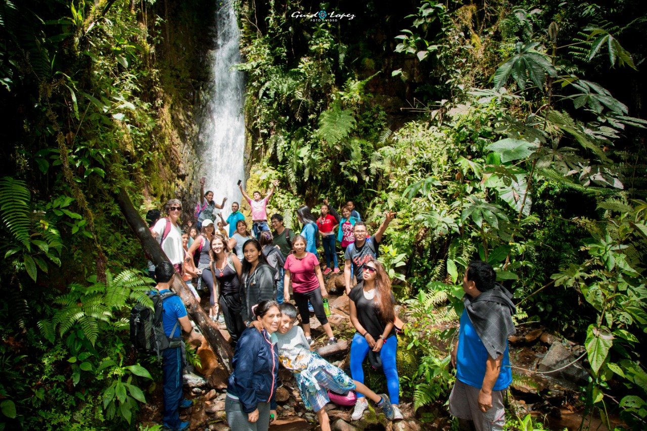
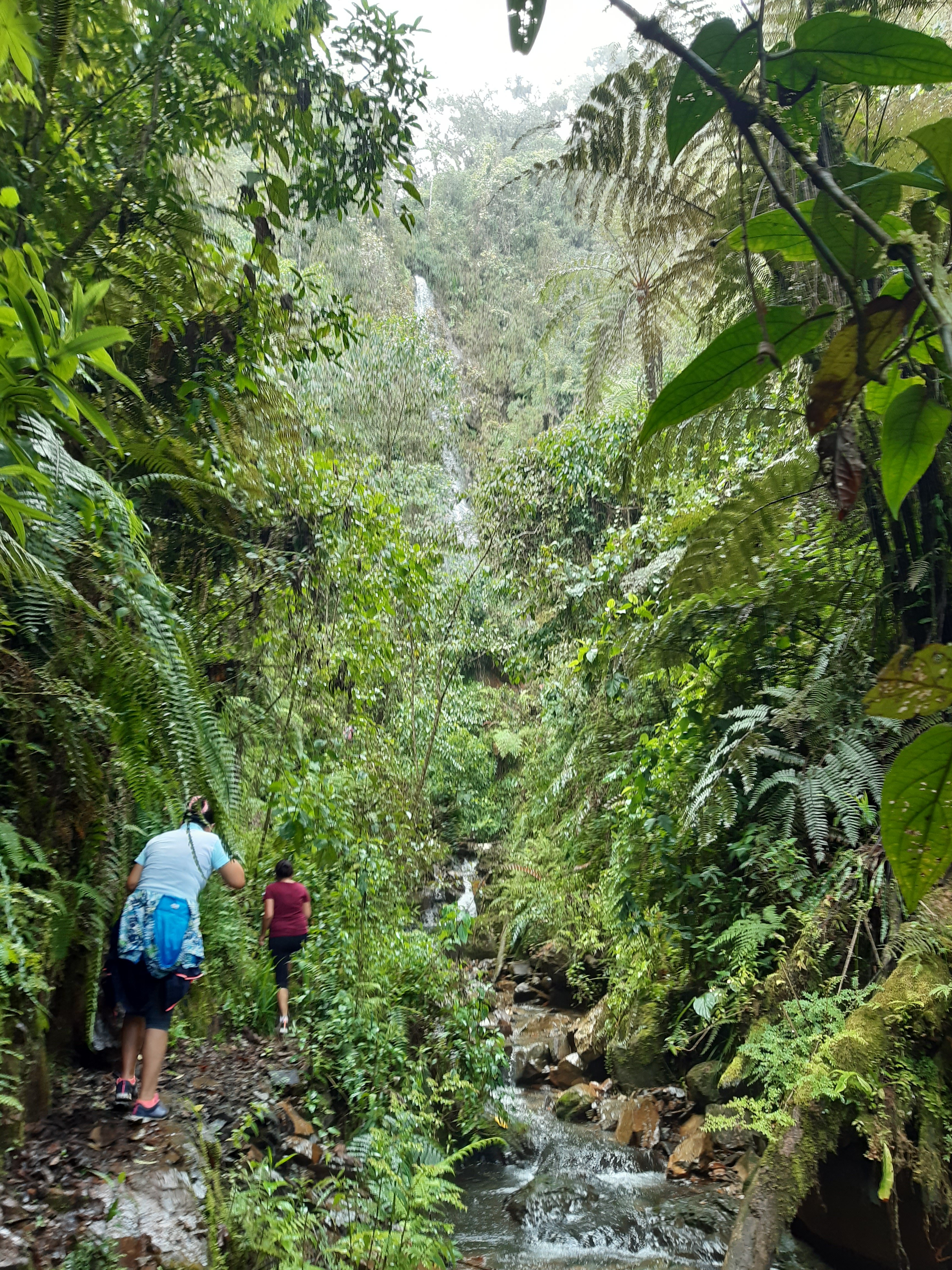
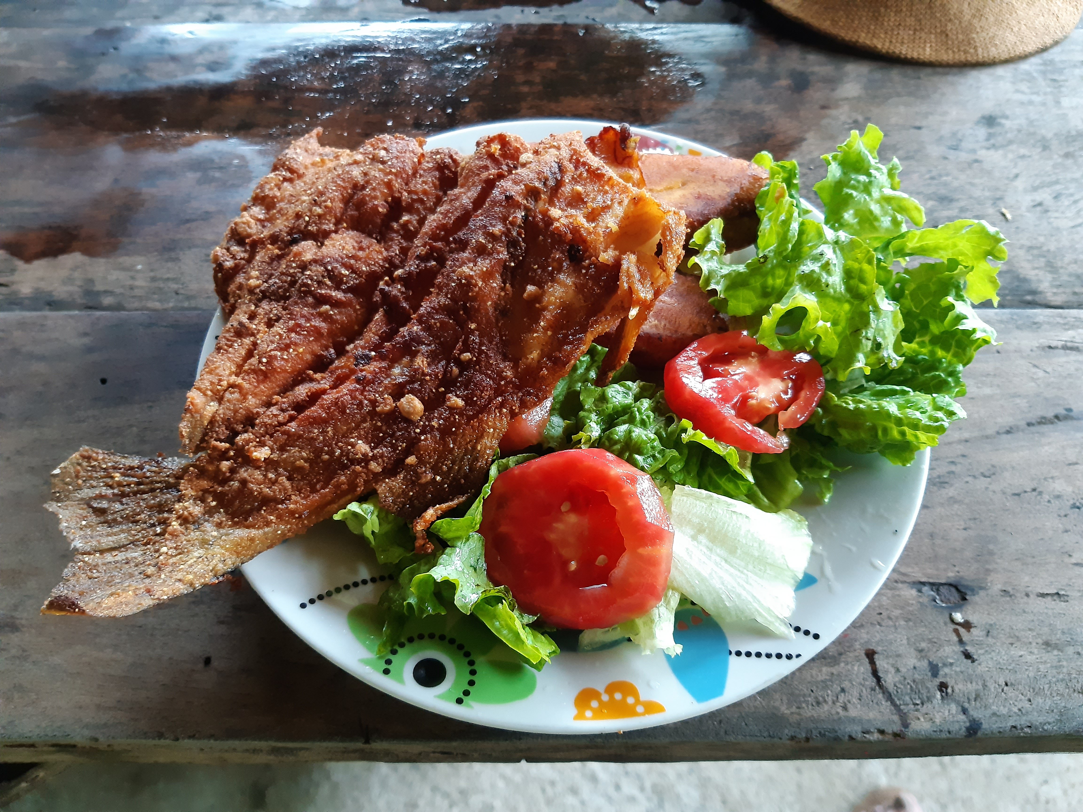
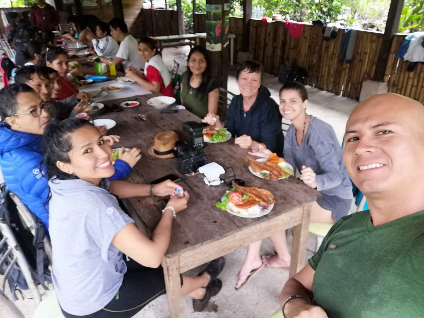
 We had parked at a ‘lodge’ and trout farm, so before we started our trek up the mountain to the waterfall, we watched lunch being caught in one of the ponds. A scrumptious meal of trout, chips, salad, sweet potato and duca awaited us on our return, undercover and dry.
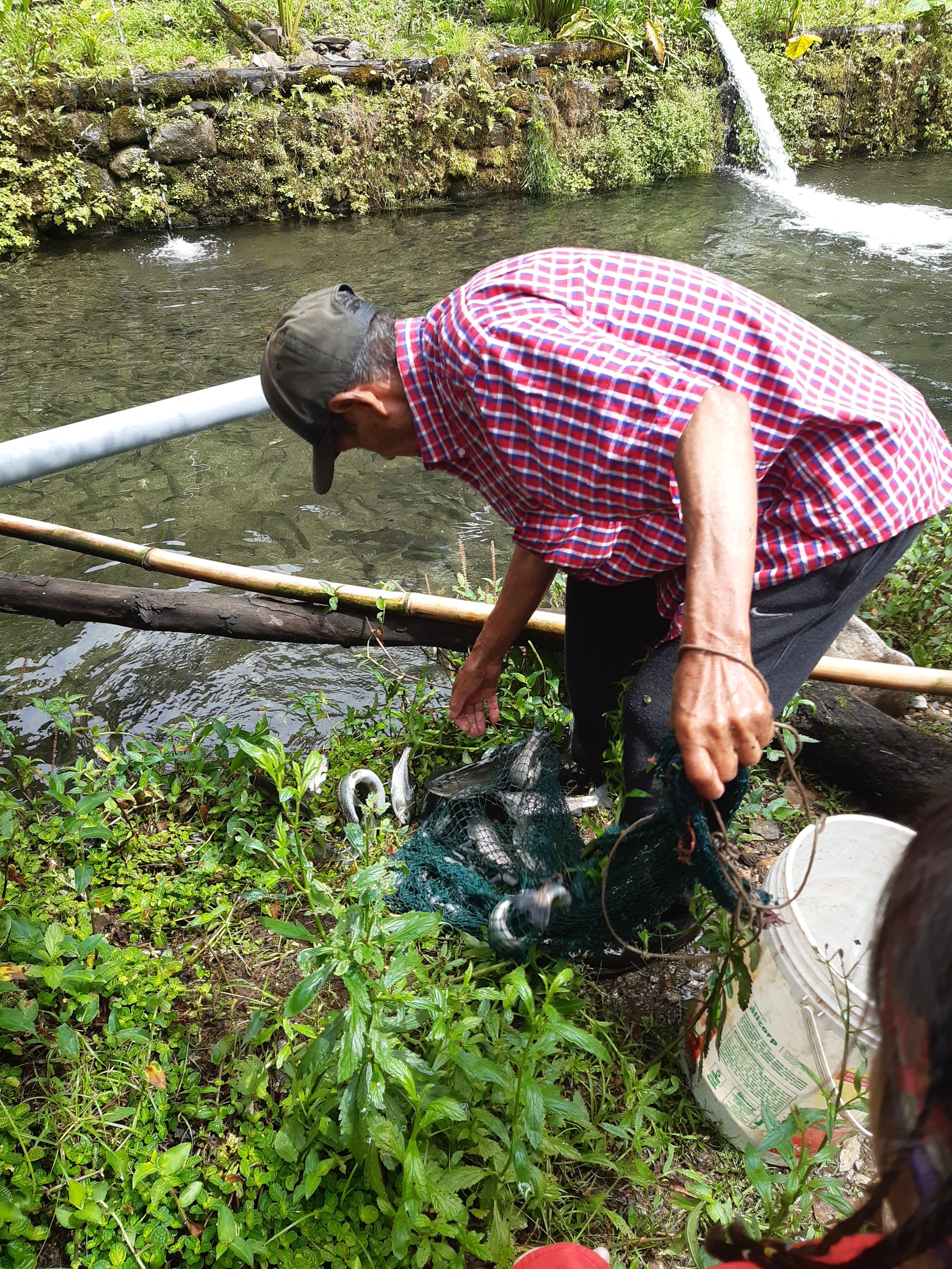
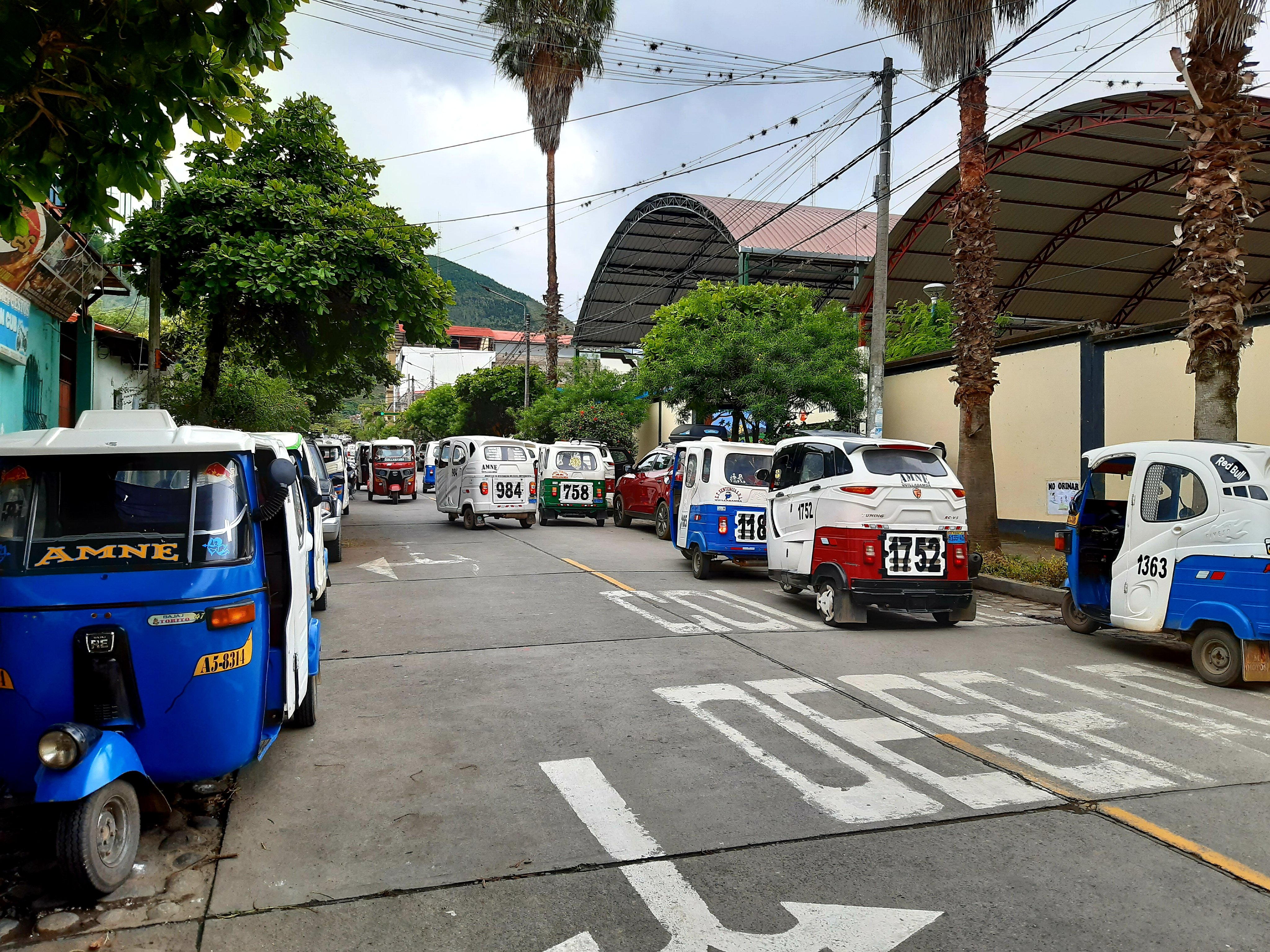
 There are two clear blue swimming pools close by to where we stay, much to my delight in this sweltering humidity. It rains every night, seldom during the day, and often thunderstorms. Life in this undiscovered gem of a town is slow-paced, local and lekker. Zillions of the cutest little 3-wheeled taxi’s abound, riding up and down the streets all day long, with a flat rate of 1 and a half soles. I’m going to pack one in Louise to take home, I love them!
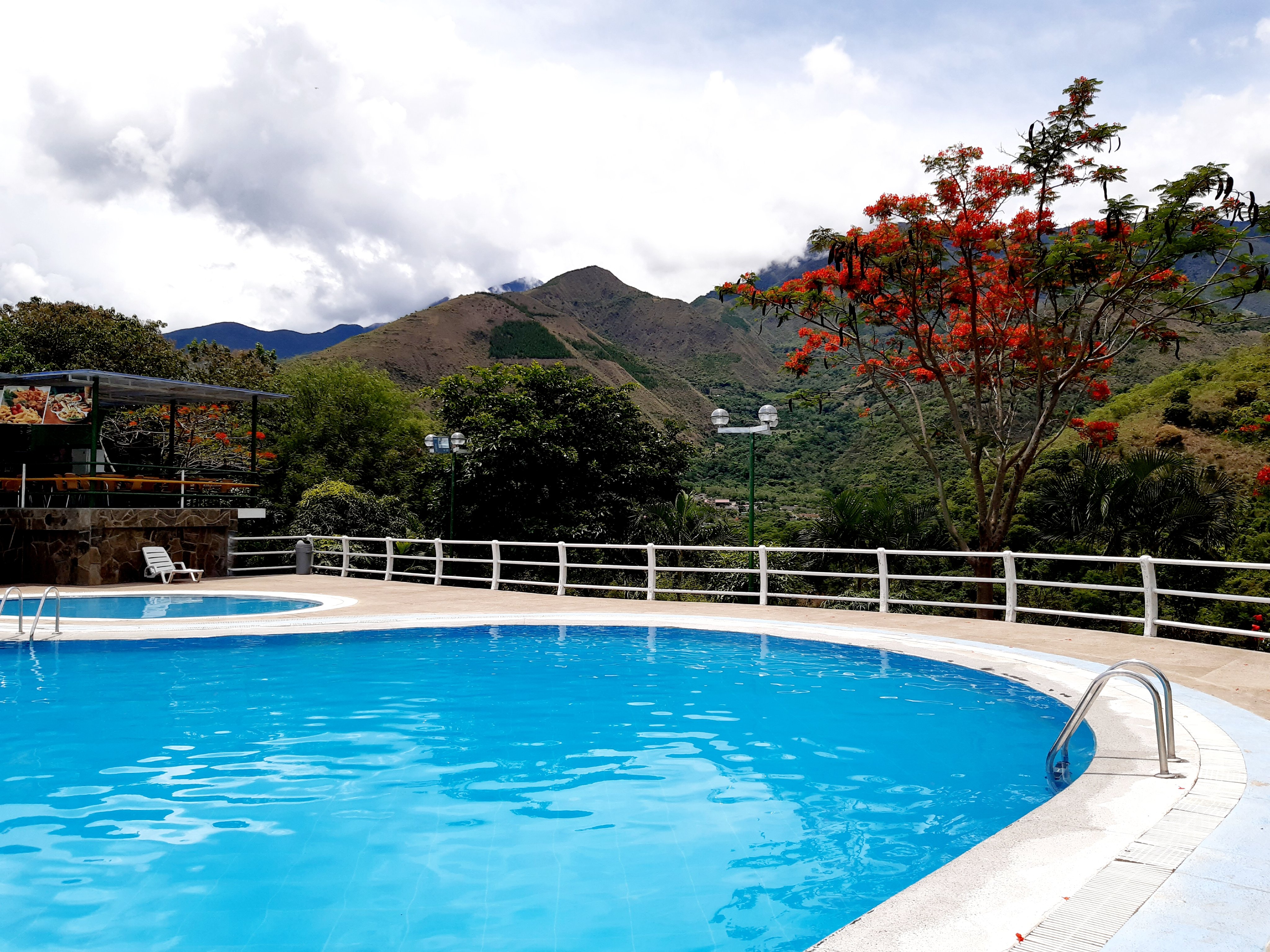
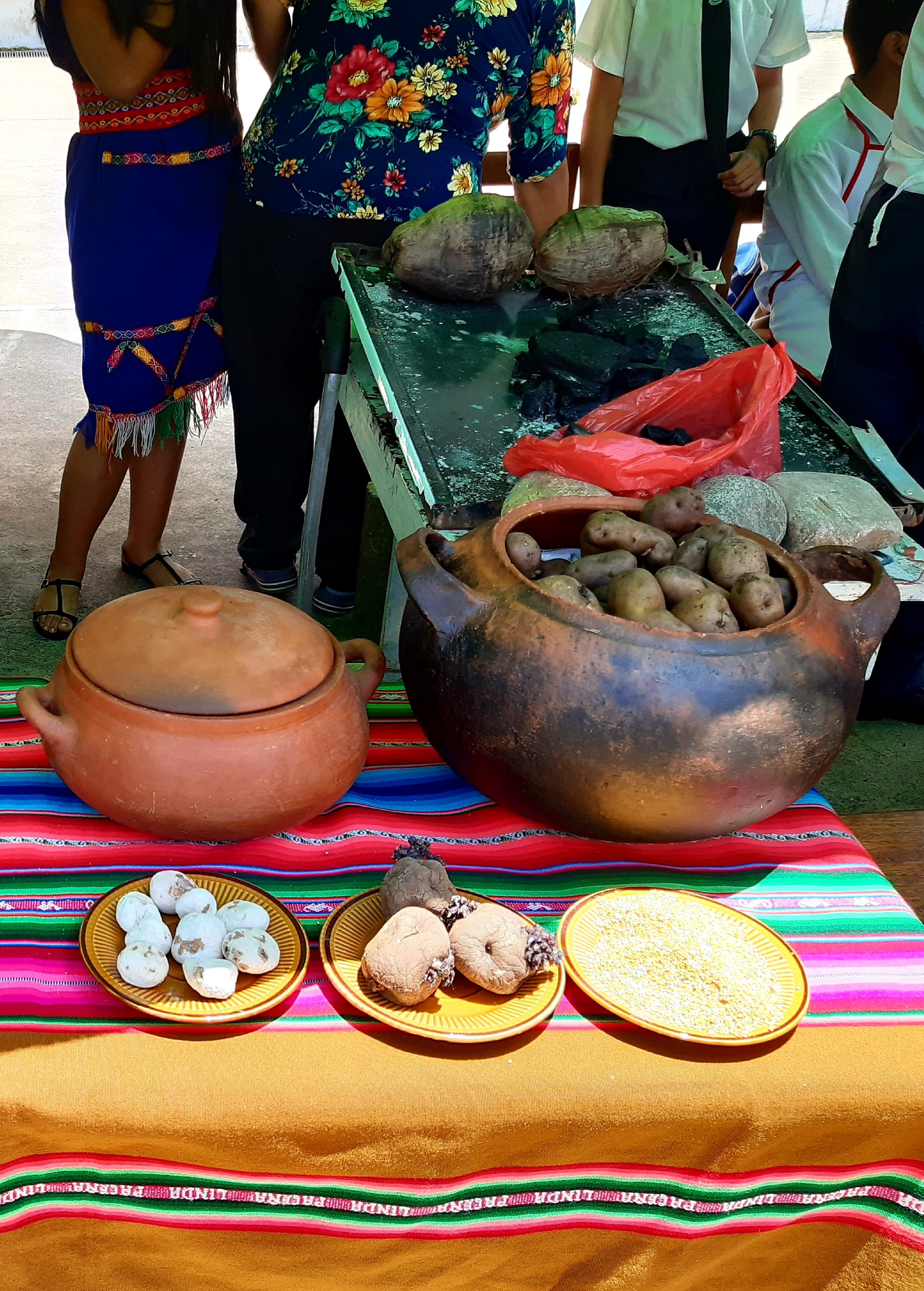
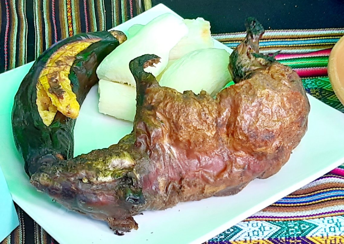
 One of the girls that attend the English classes invited us to her school a few days ago, as they were having an exhibit of different kinds of traditional foods. It was supposed to start at 10am, but by 12 noon the judges were still walking around (evidently not uncommon according to Peruvian standards) and we decided to go for a swim instead of waiting to buy or taste the food. It all looked delicious, excepting for the guinea pig.
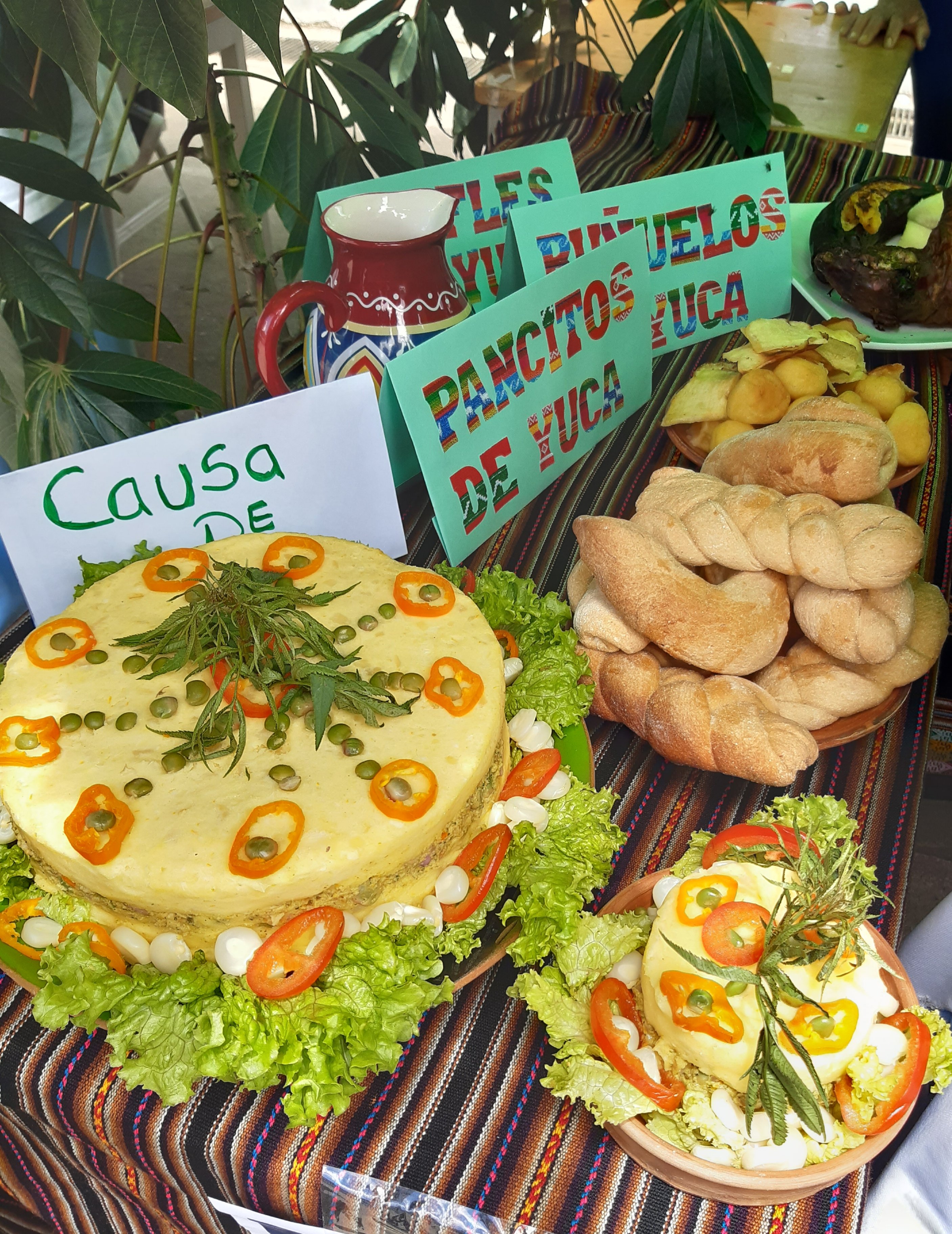
 There are two guinea pigs running around in our backyard, but Darsey has assured me that they are pets, not to be eaten, thank goodness!Yesterday Gabriella and I went to another waterfall close by, taking a small bus from the taxi rank after having stood through a fighting match between the various drivers. Quite overwhelming, but that is how it is done, according to Jennifer. We had the waterfall to ourselves for about an hour, but a group of school children from Araquipa arrived and entertained us with their splashing and antics, just as children everywhere do. Afterwards we just stood next to the road and hitched a ride back to town for 5 soles, the going rate.
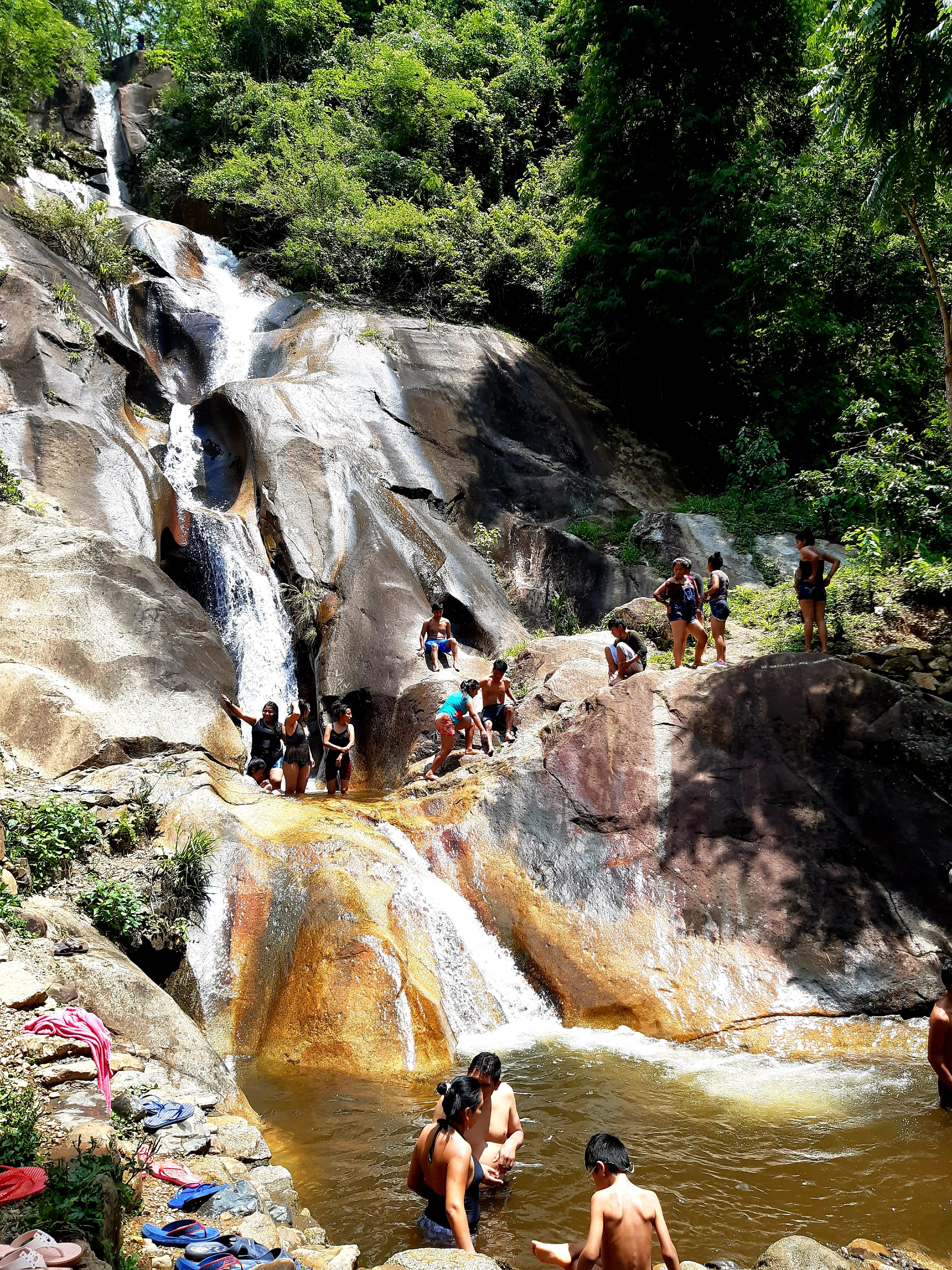
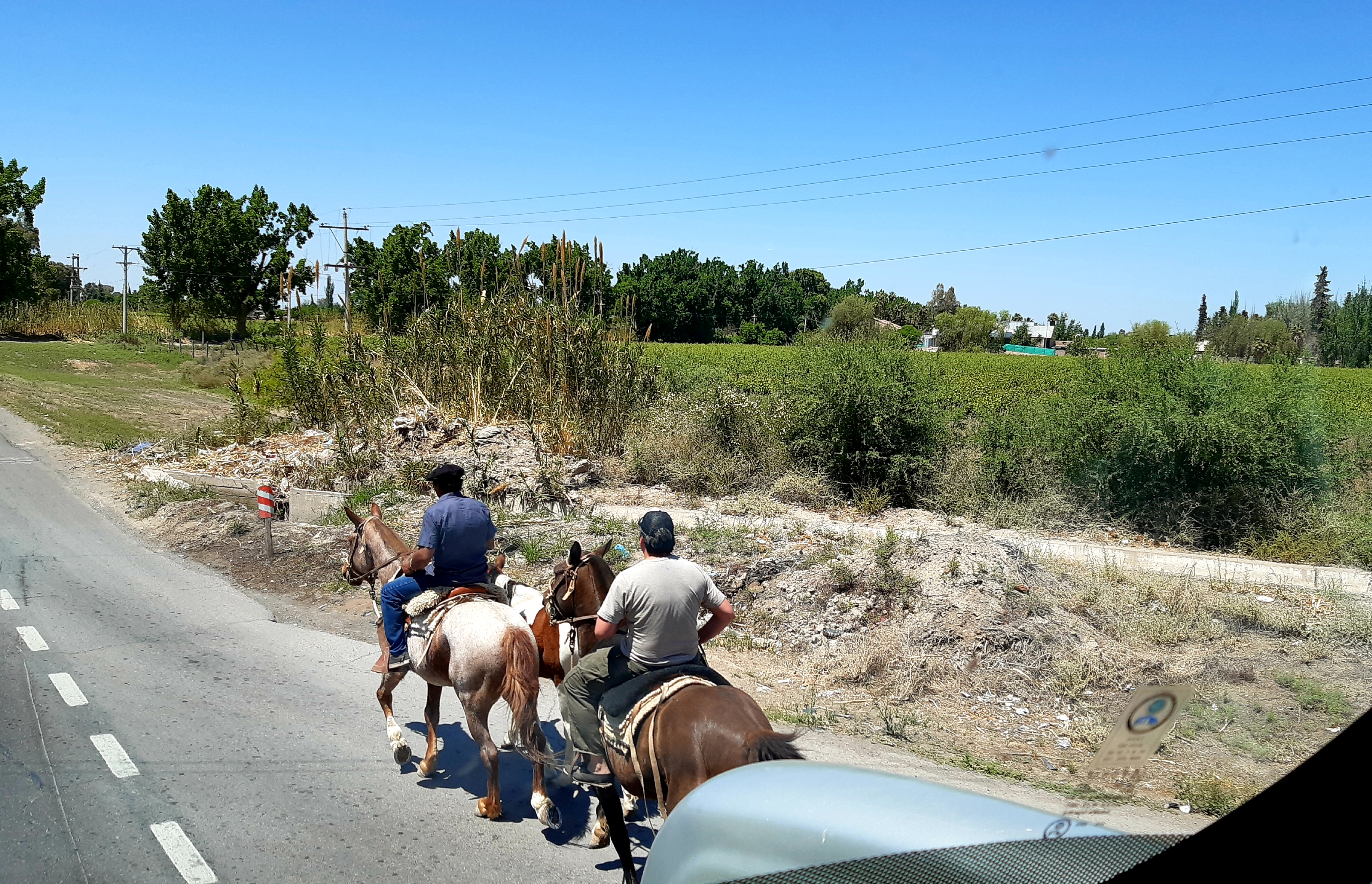
 Louise (my pink suitcase, for new readers) and I set off at 05:15 last Tuesday at a brisk pace to be at a pick-up point almost 2km from me. All went well and we left Lima just after 07:00. Deborah was our guide, a very friendly, concerned and efficient Peruvian lady.Our first stop was breakfast, and that was when I realised that I was part of the tourist-clan. Queuing for breakfast, watching a man riding his horse up-and-down and playing a game involving a guinea pig chosing a numbered box to win a prize…
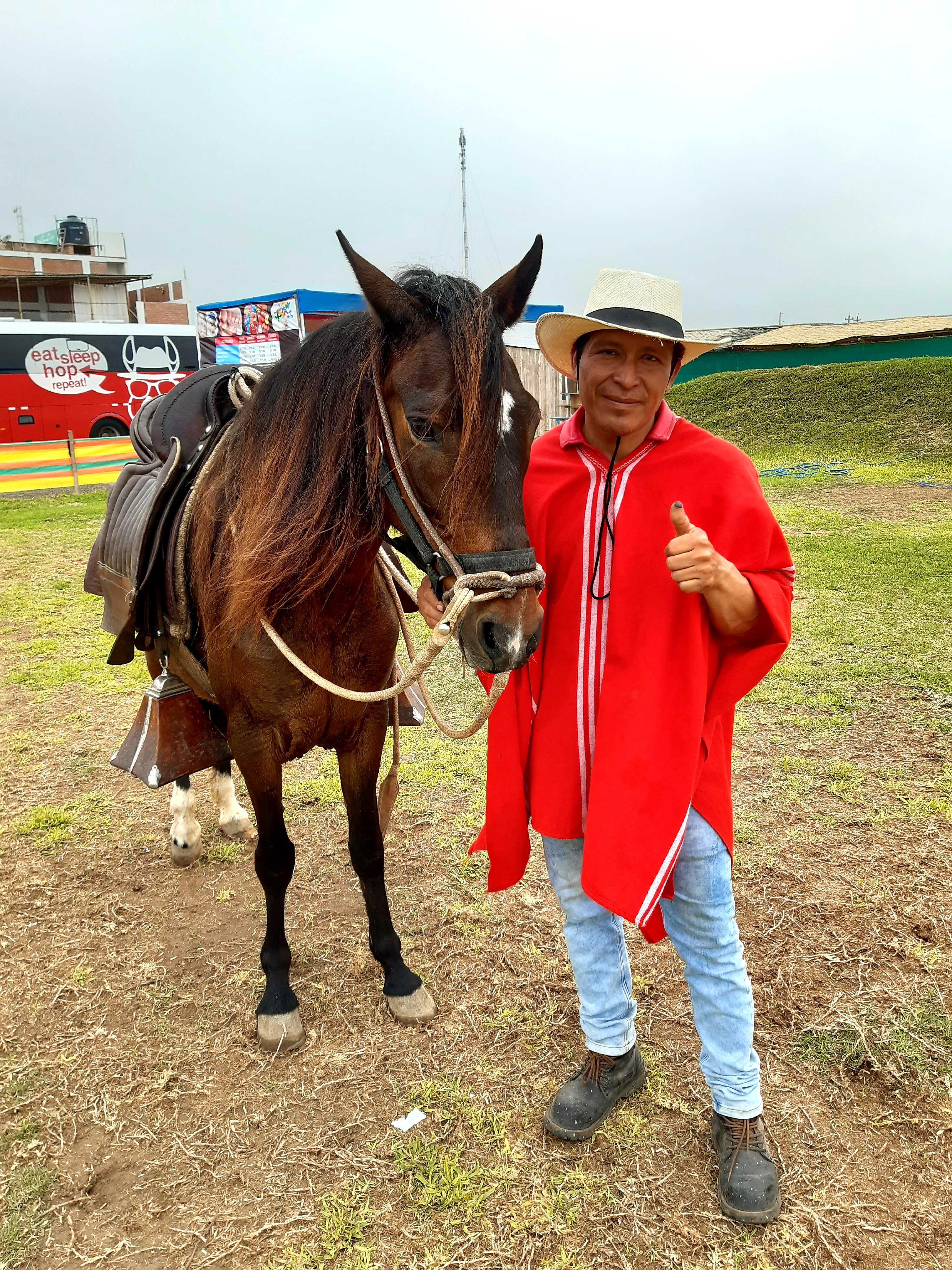
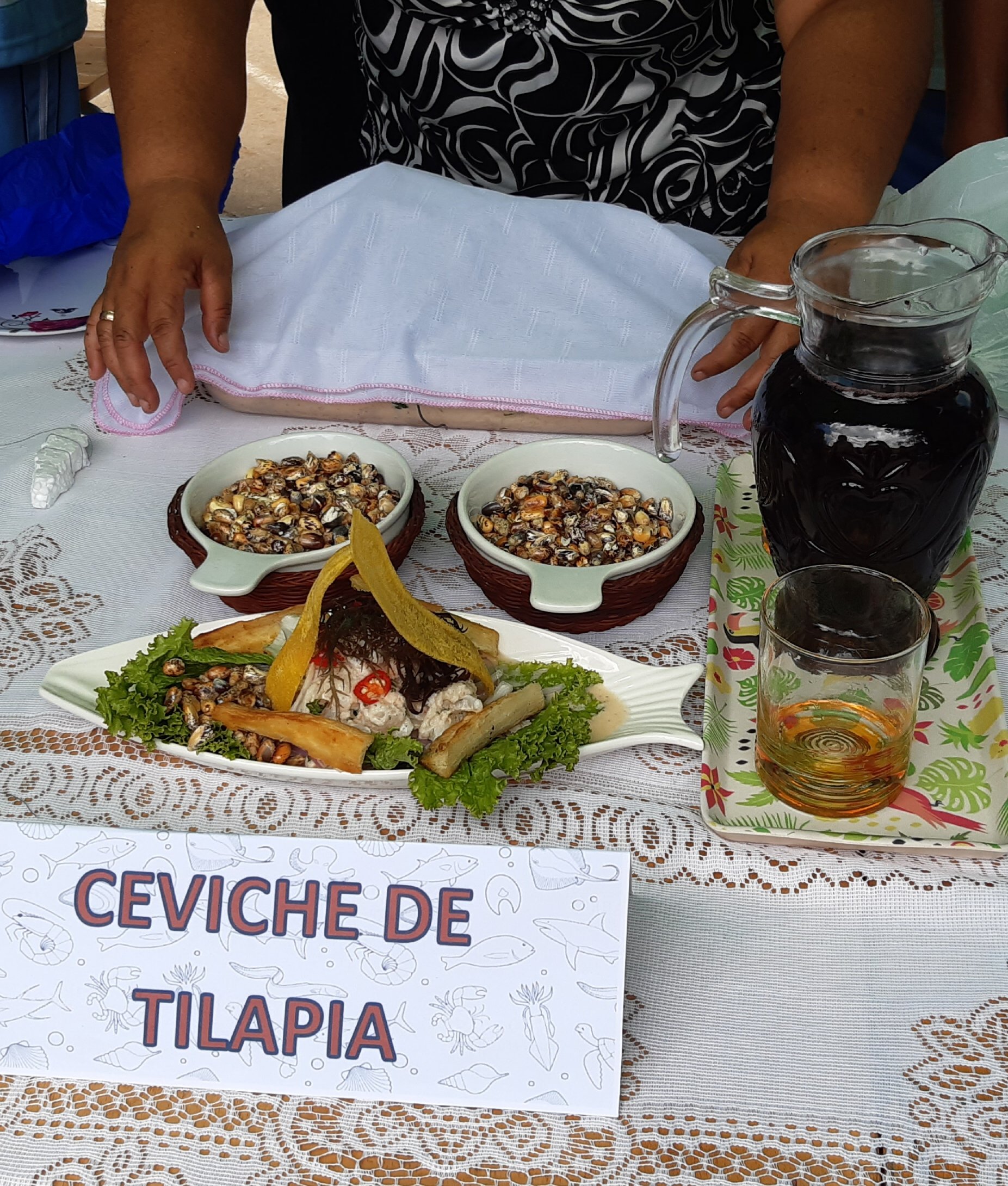
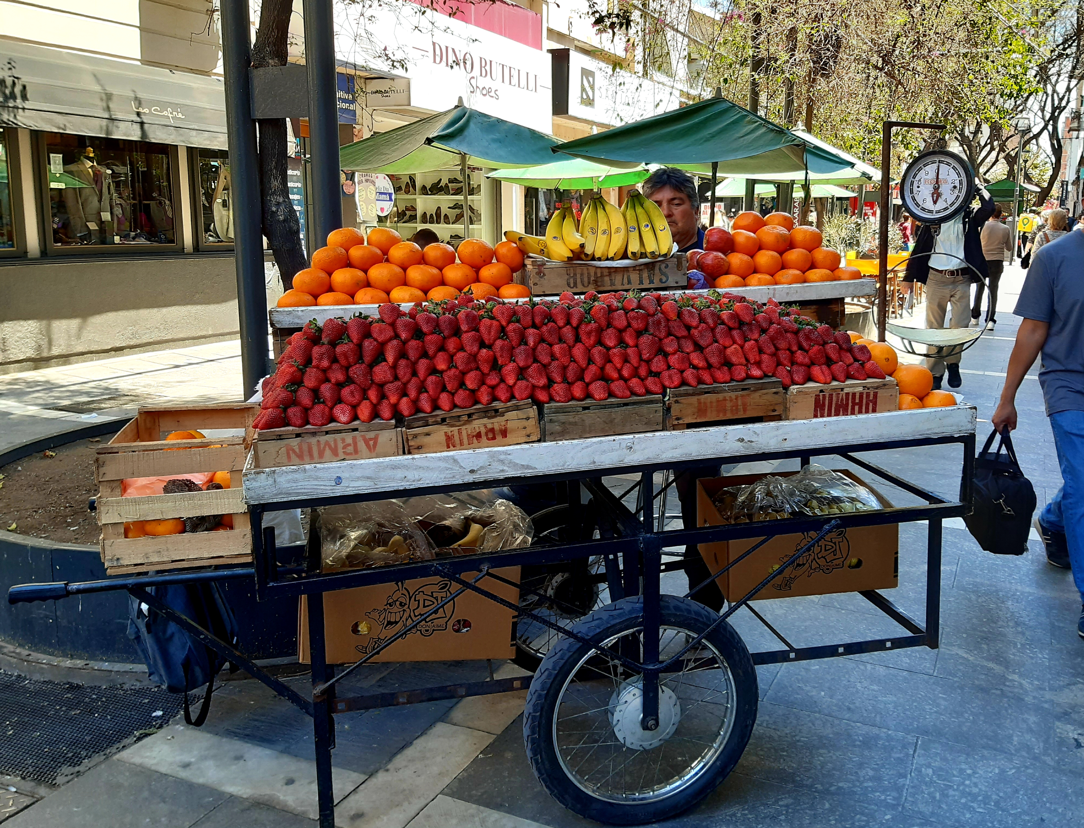
 They breed some guinea pigs there, it is a popular Peruvian dish, cuy al horno (fried whole, head, feet and all). I haven’t tried it, although I have had some other tasty dishes, such as palta a la reina (avo filled with chicken, potatoes and cheese), rocoto relleno (stuffed peppers), alpaka steak and alfajores (two biscuits with dulce de leche in between). Two other local dishes are lomo saltado (stirred fried meat & vegetables on chips, with a pyramid of rice) and ceviche (marinated raw fish).
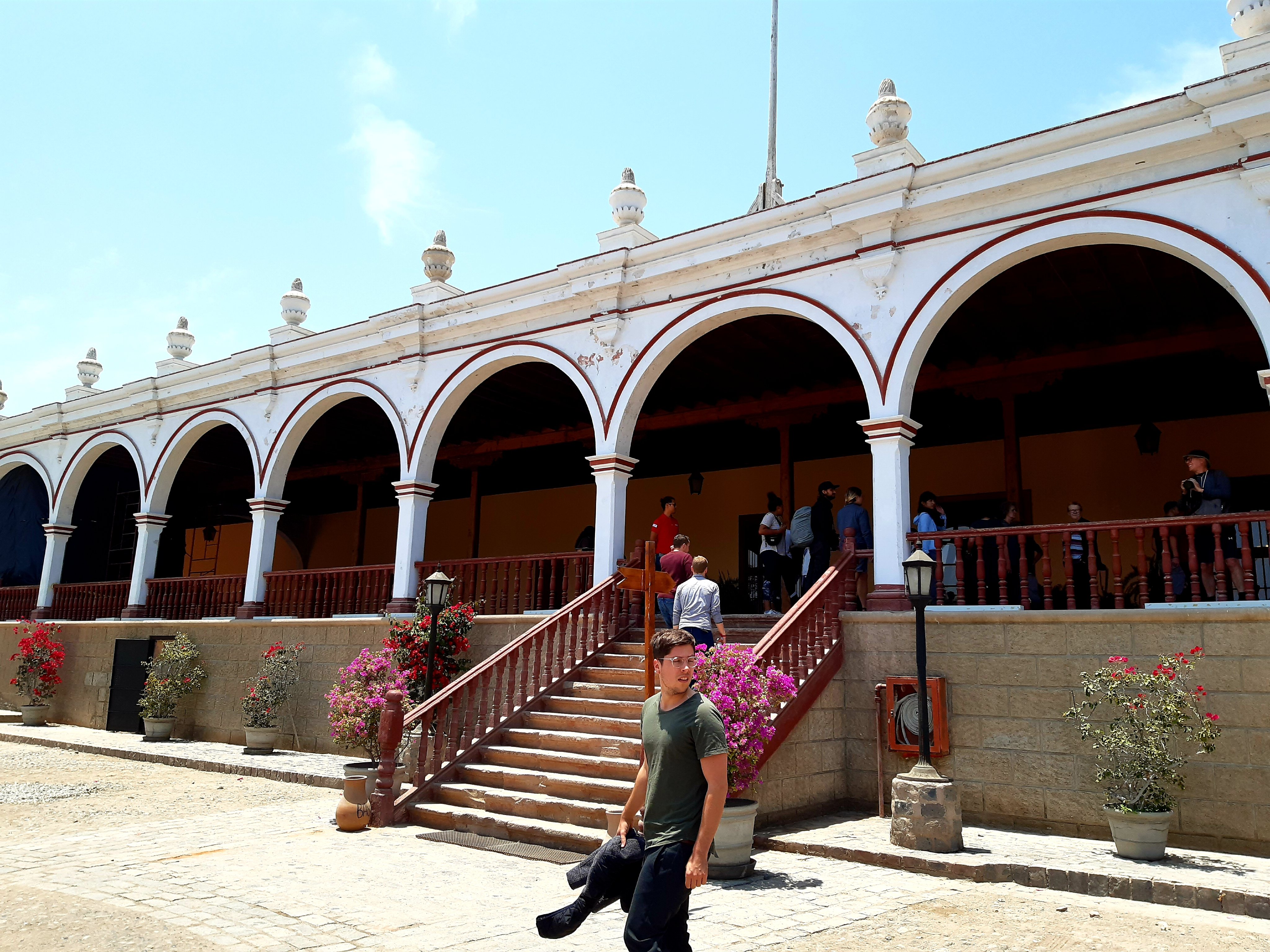
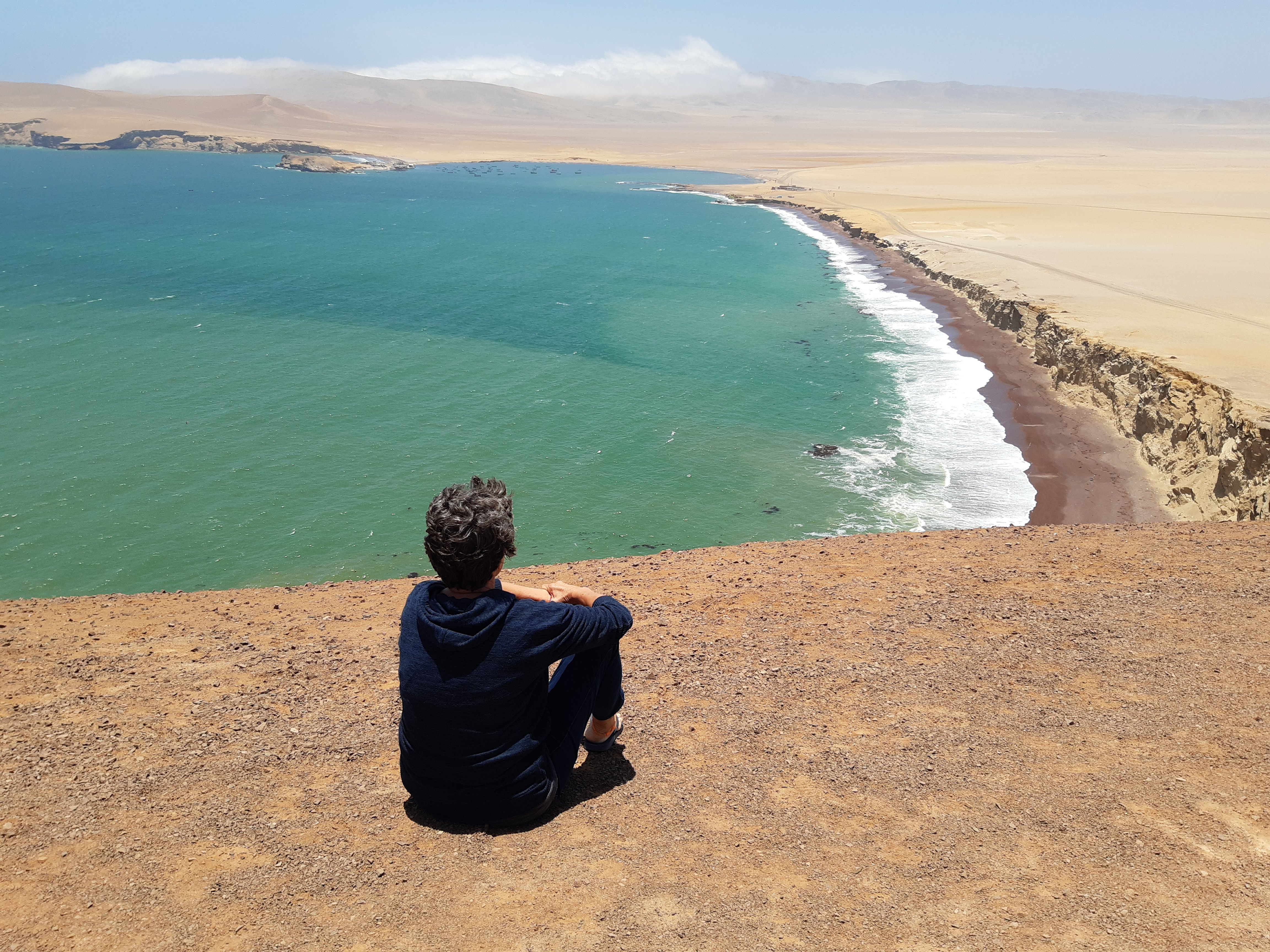
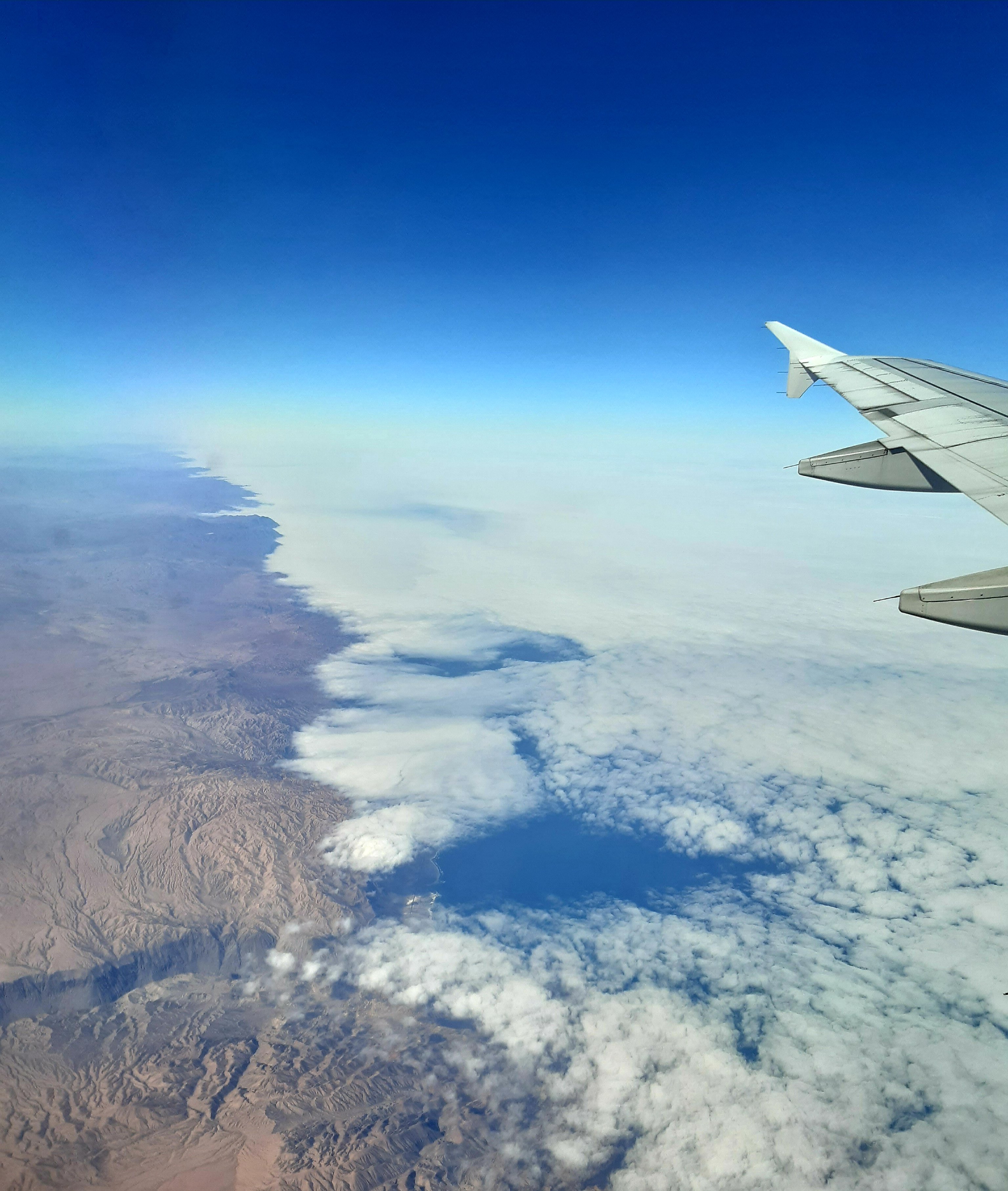
 Paracas is a holiday town for Peruvians, with bikes, quad bikes and kitesurfing activities, as well as boat trips to the Ballestos islands where there are sea lions, penquins, dolphins and whales (I didn’t do the trip as I had seen all the boats heading out to the island when I was flying over on my way to Lima. It just seemed too touristy and expensive.)
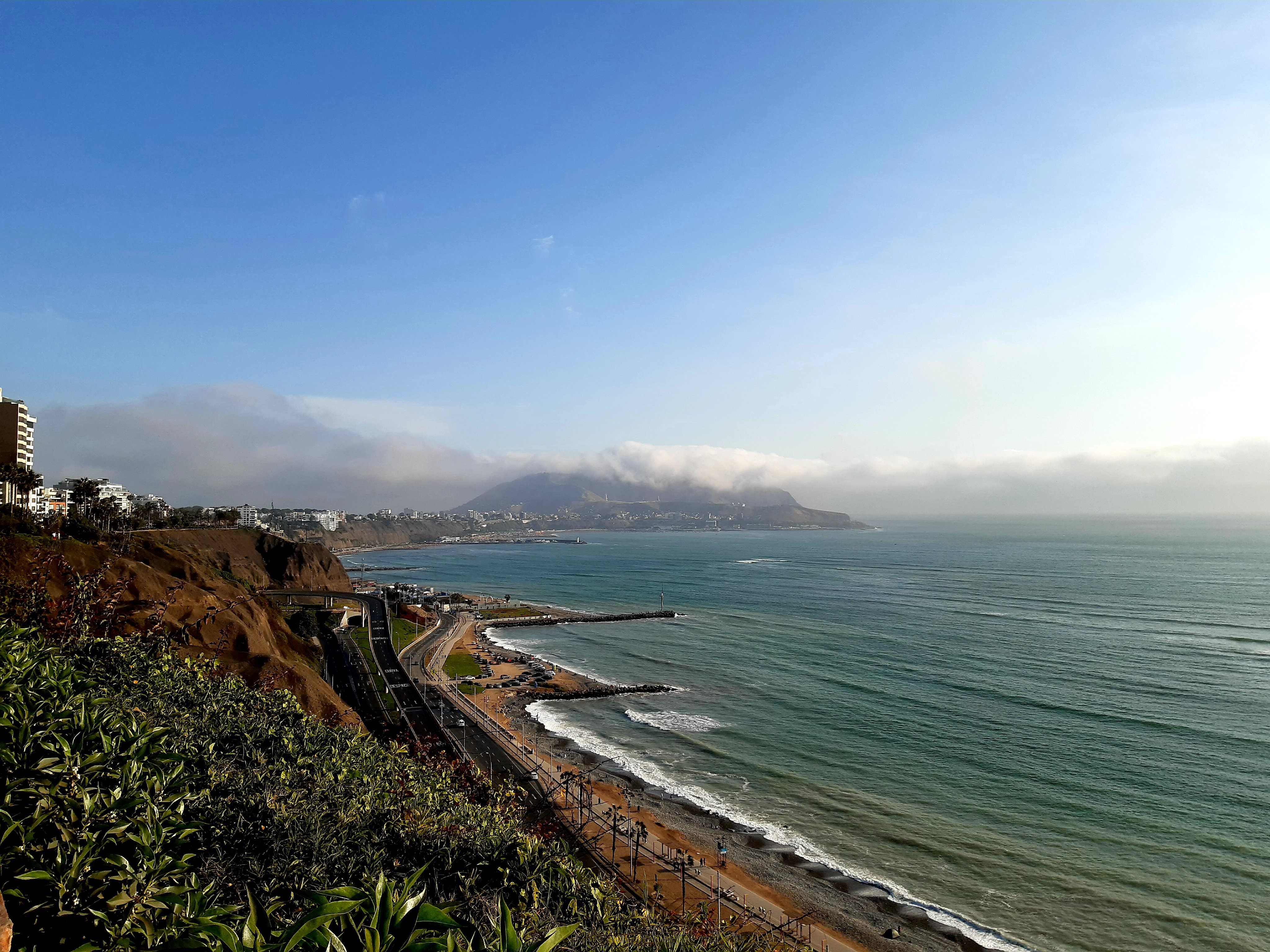
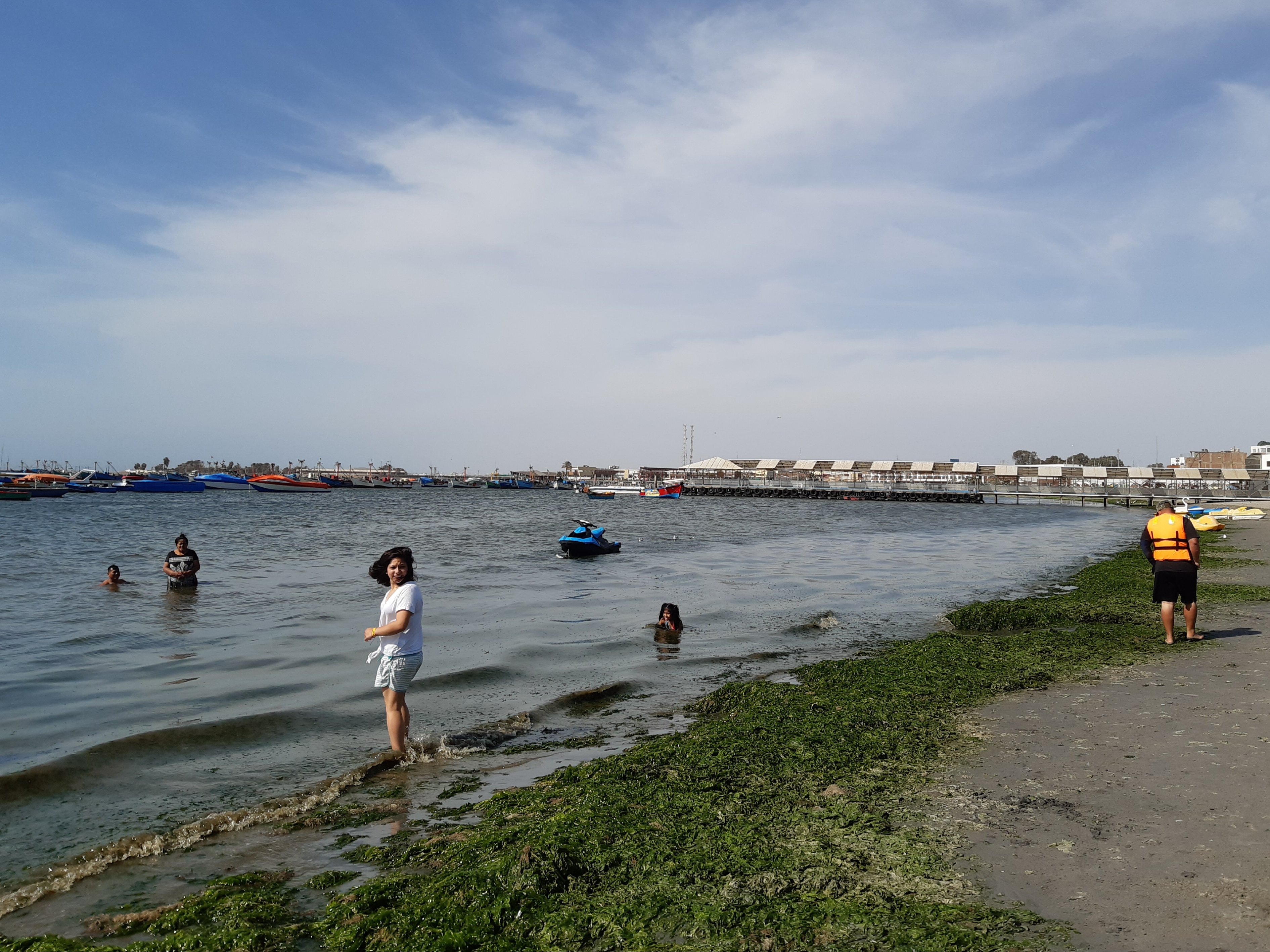 The sea in Paracas is very polluted, not just full of seagrass, and I was not enticed to swim but the locals clearly thought differently.
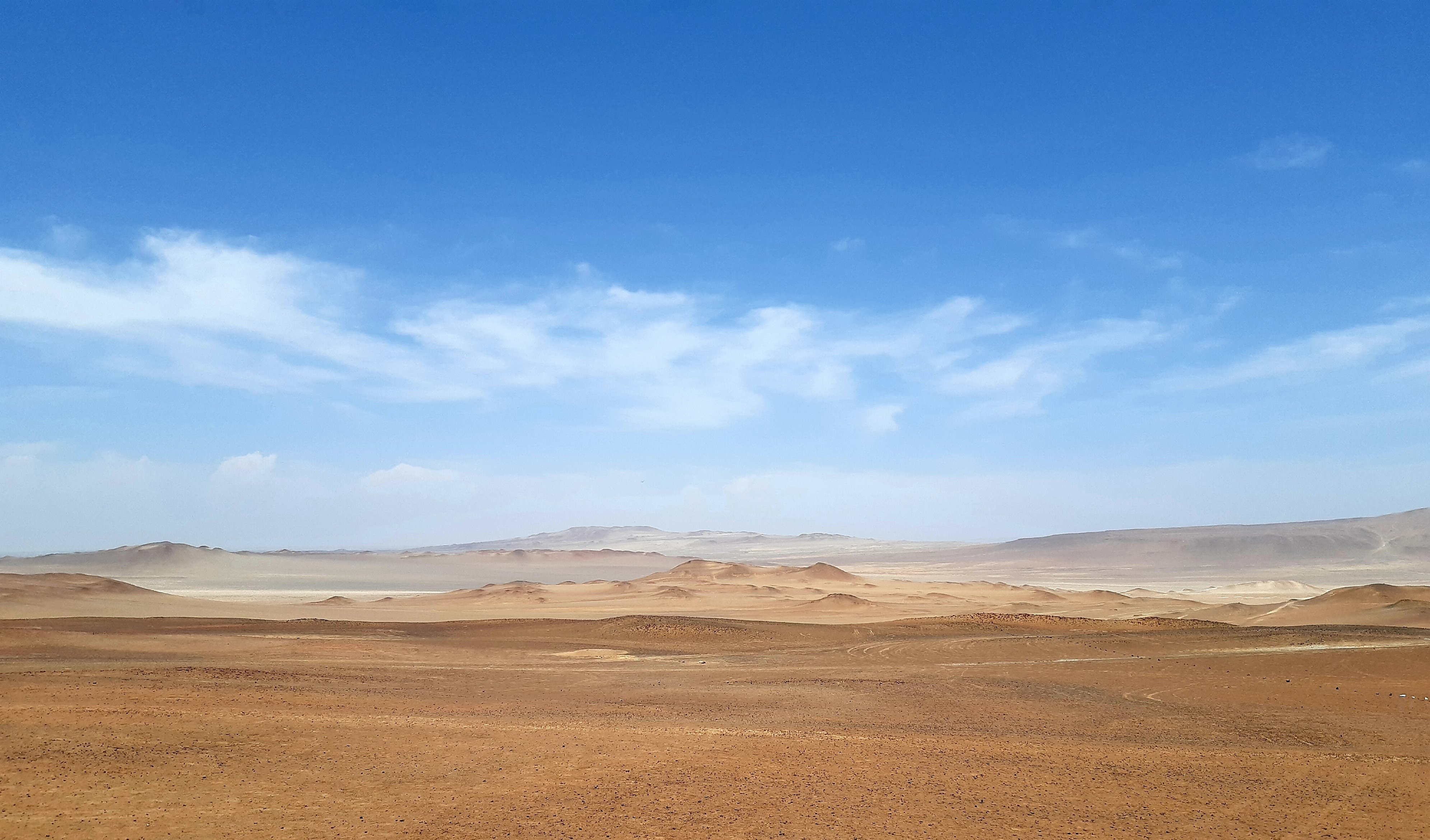
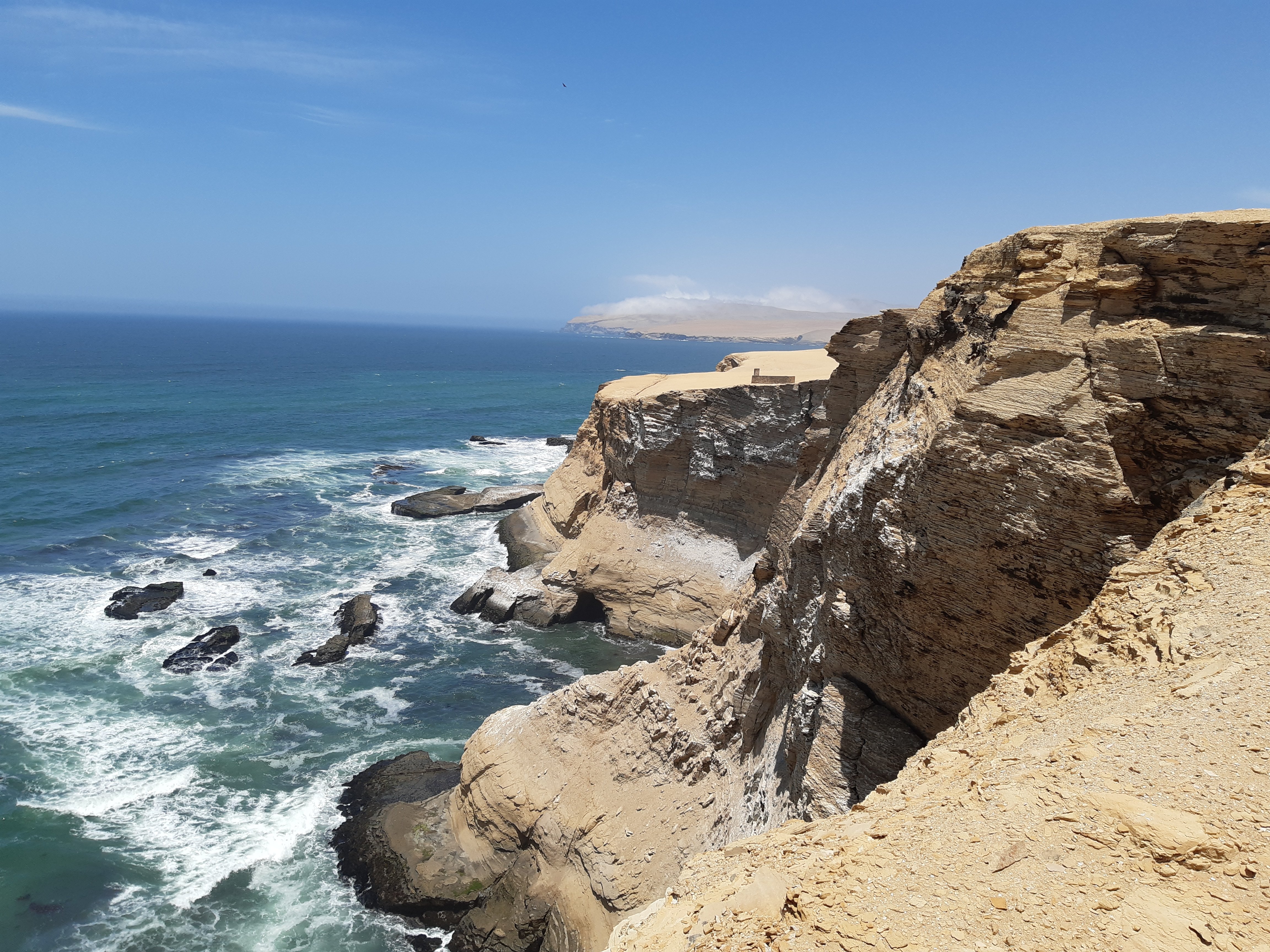
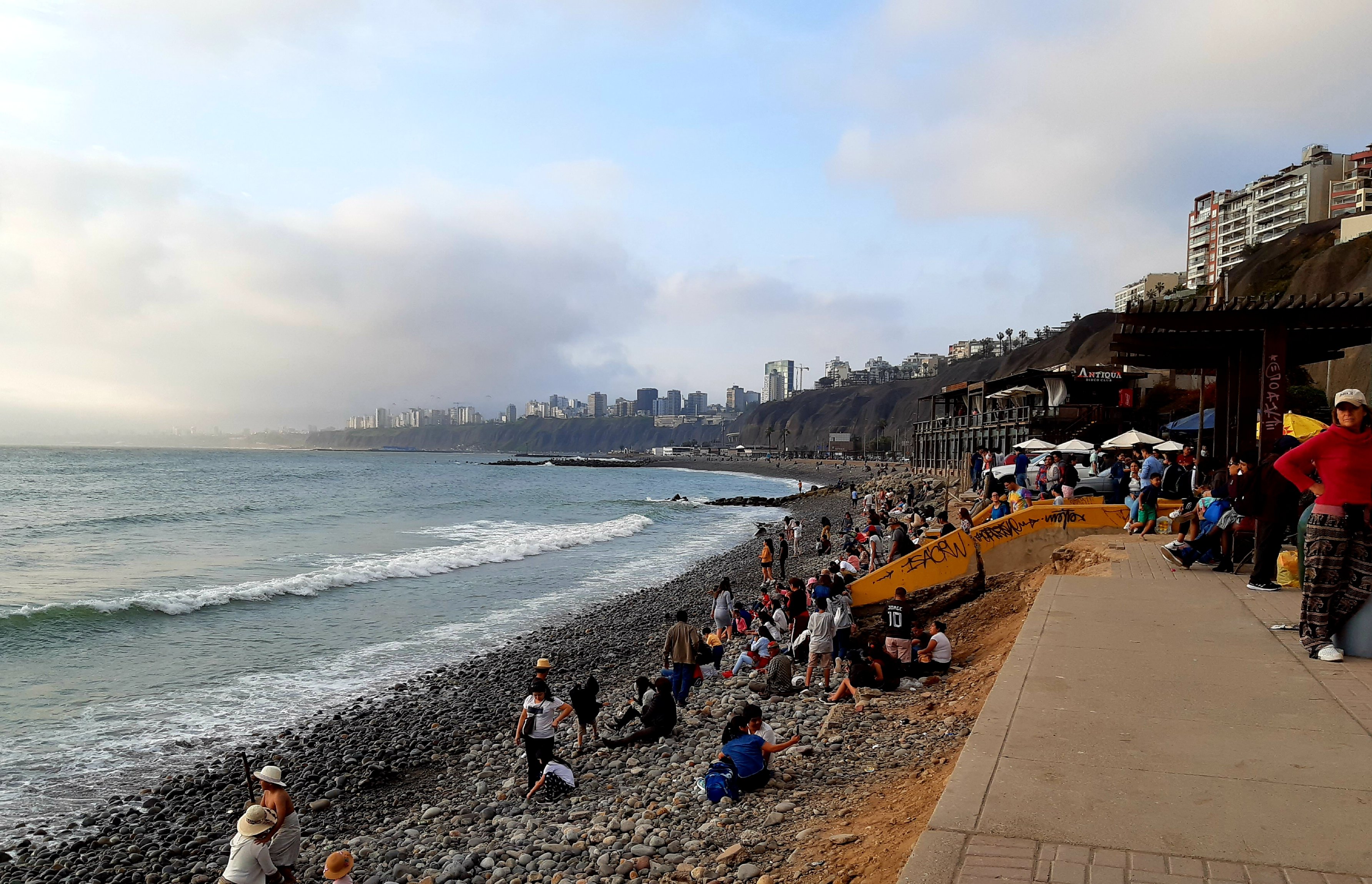
 The above beach is called Playa Roja (red beach) as the small rust coloured stones that make up the beach are as a result of the waves pounding on the cliffs of Punto Santa Maria,
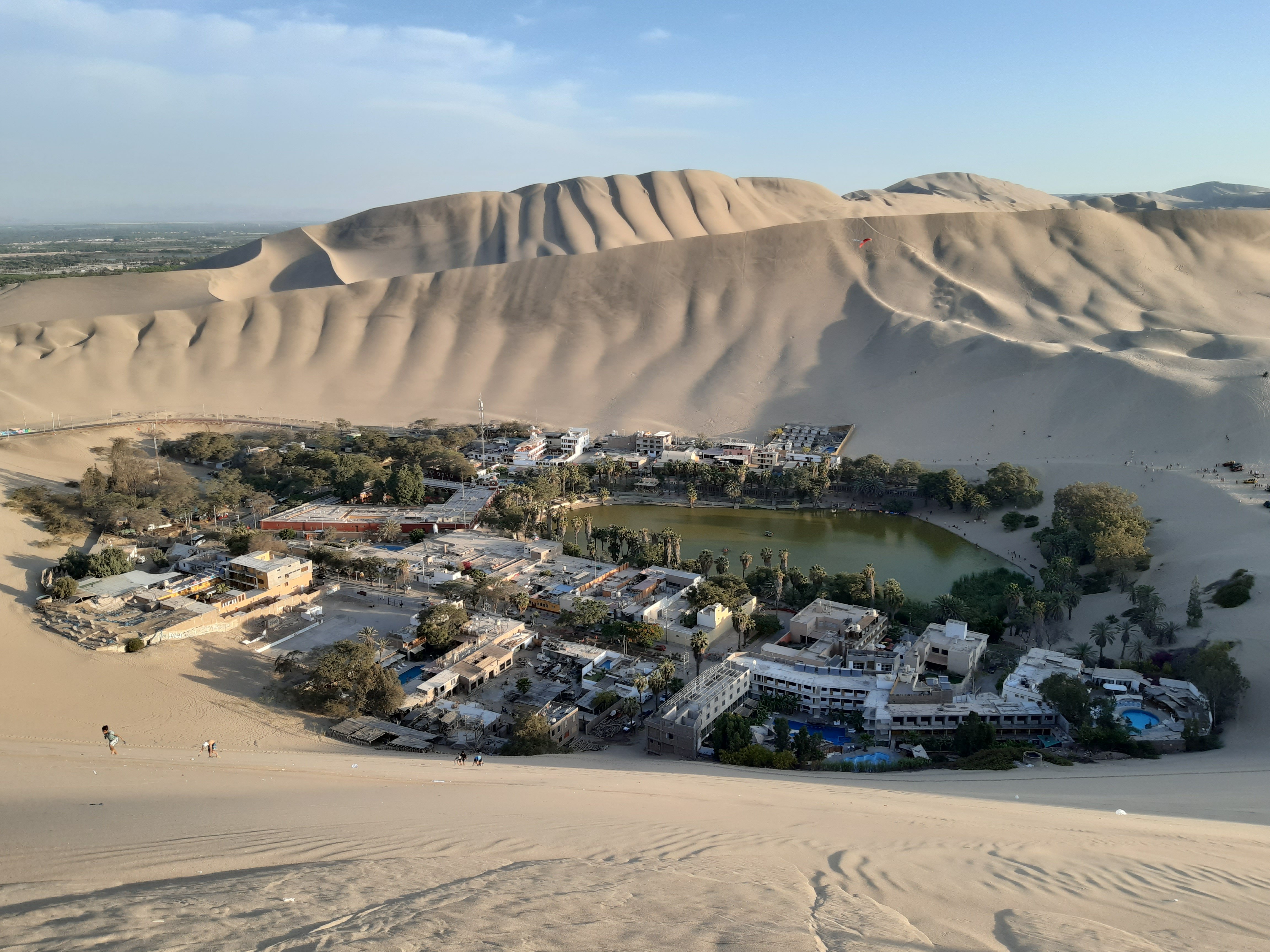
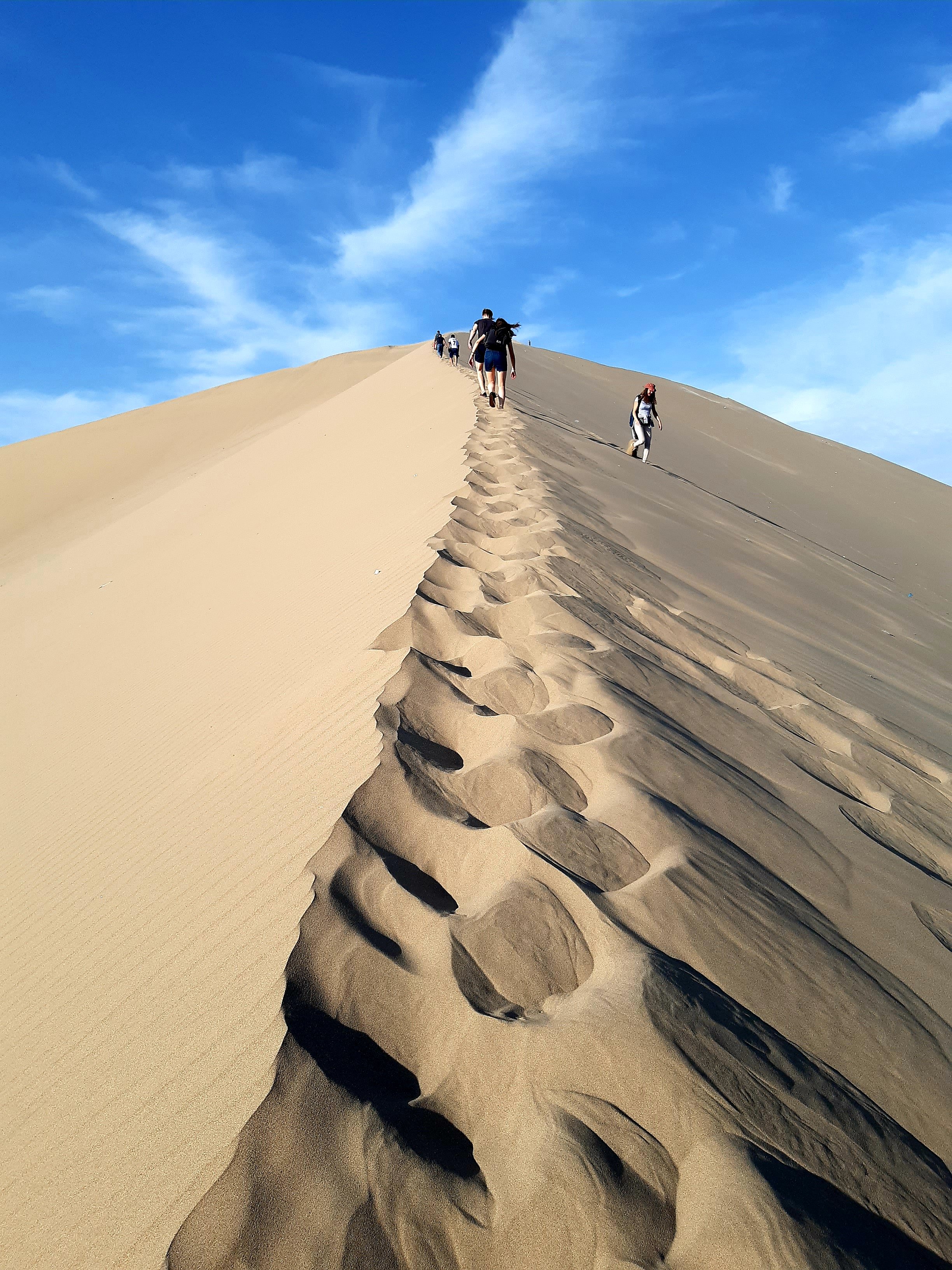
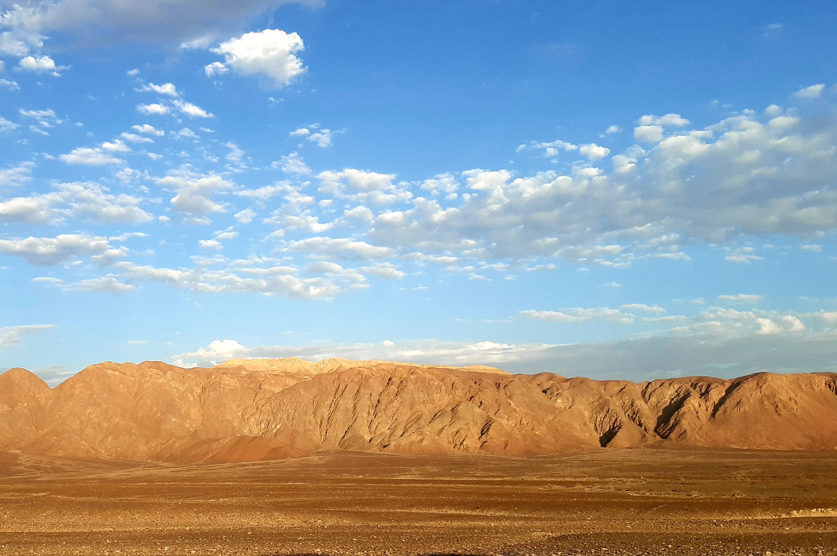
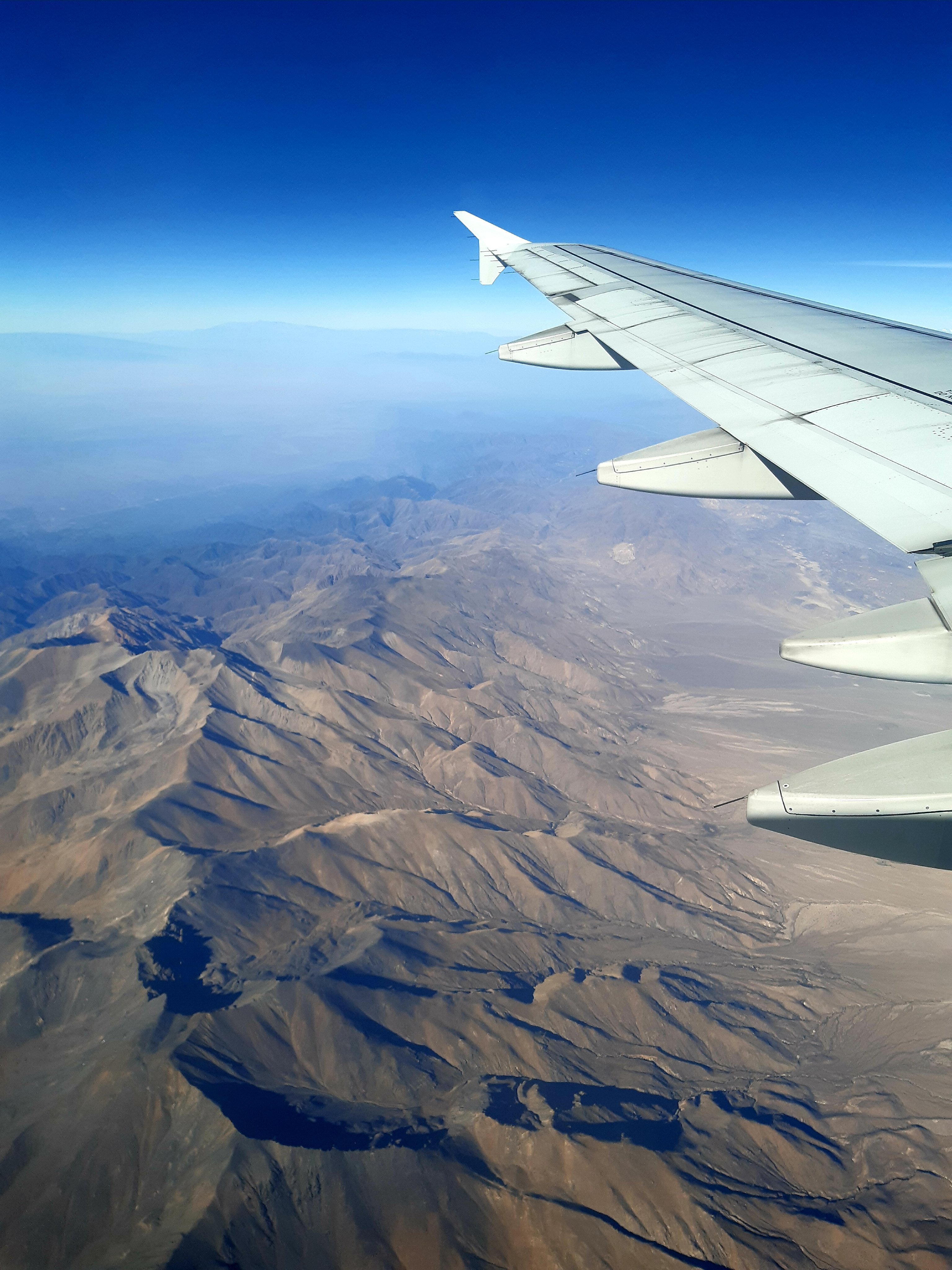
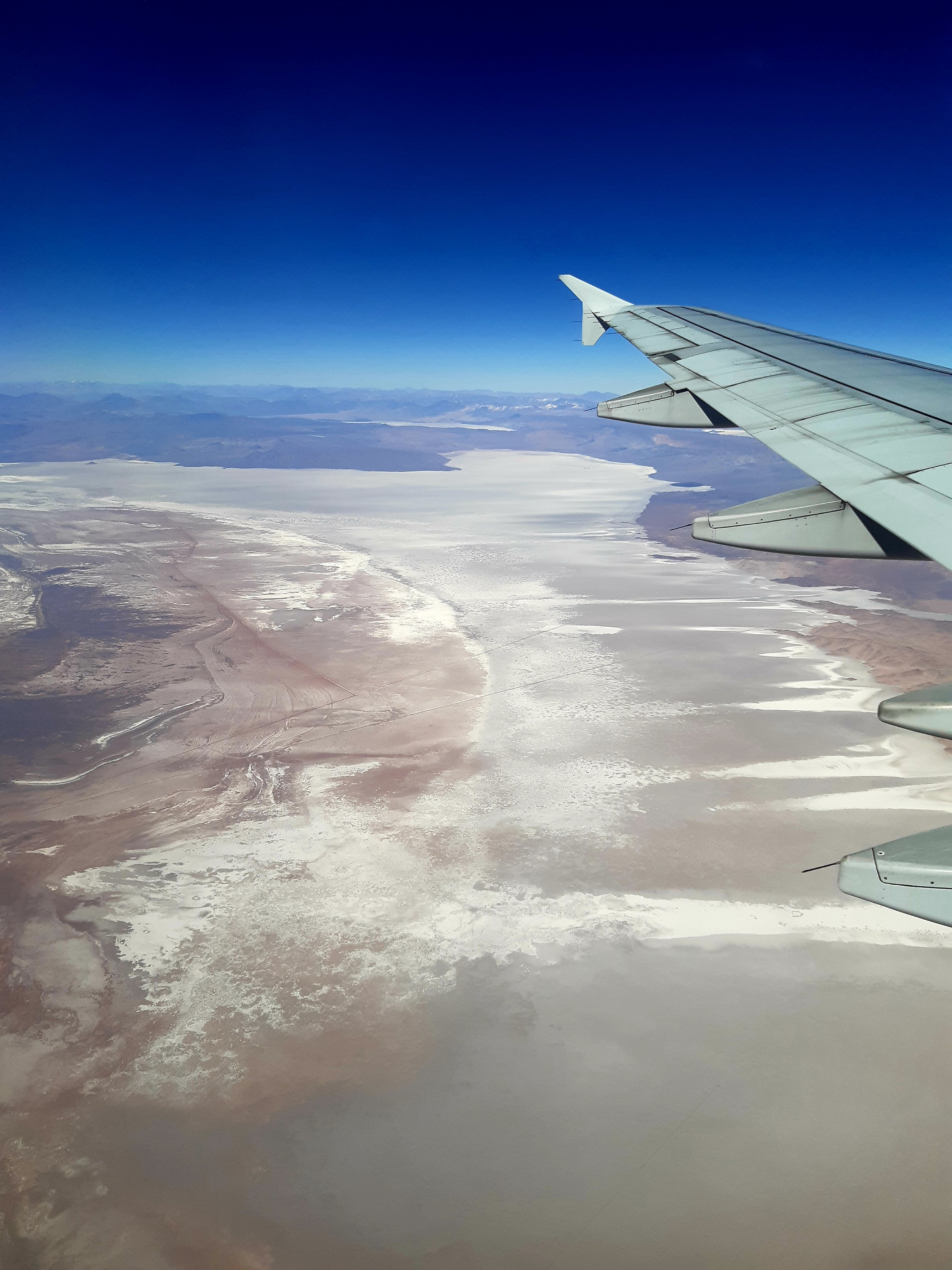
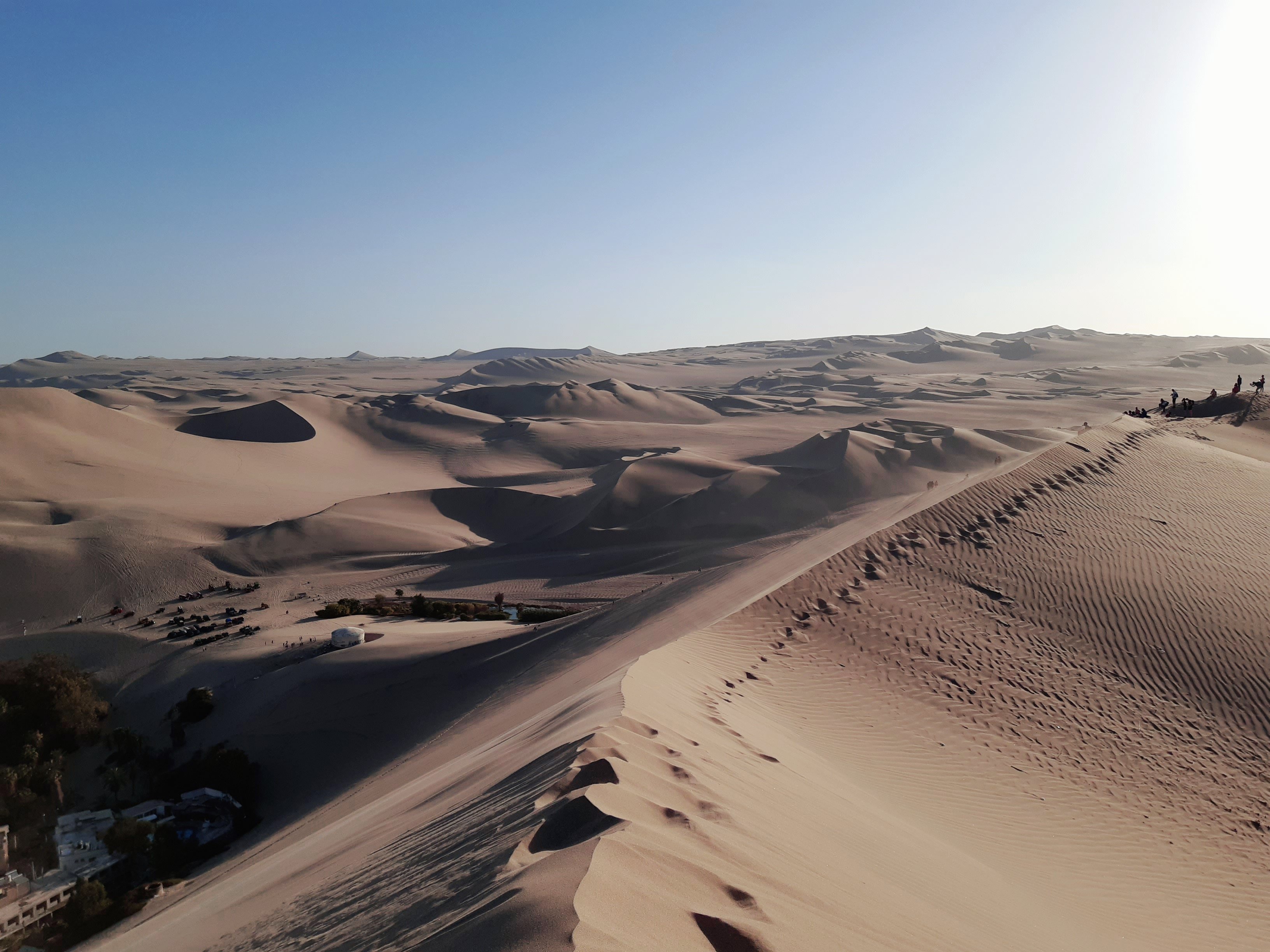 Ica, I must admit, is in the middle of the desert. I didn’t know that virtually the whole southwestern part of Peru is desert, both dunes and hard desert. I saw some of it when flying to Lima, but driving through it by bus makes one realise the vastness and barenness of it all. I couldn’t stop taking photo’s, most of which I had to delete later as they were either blurry or had light reflections or marks from dirty bus windows.
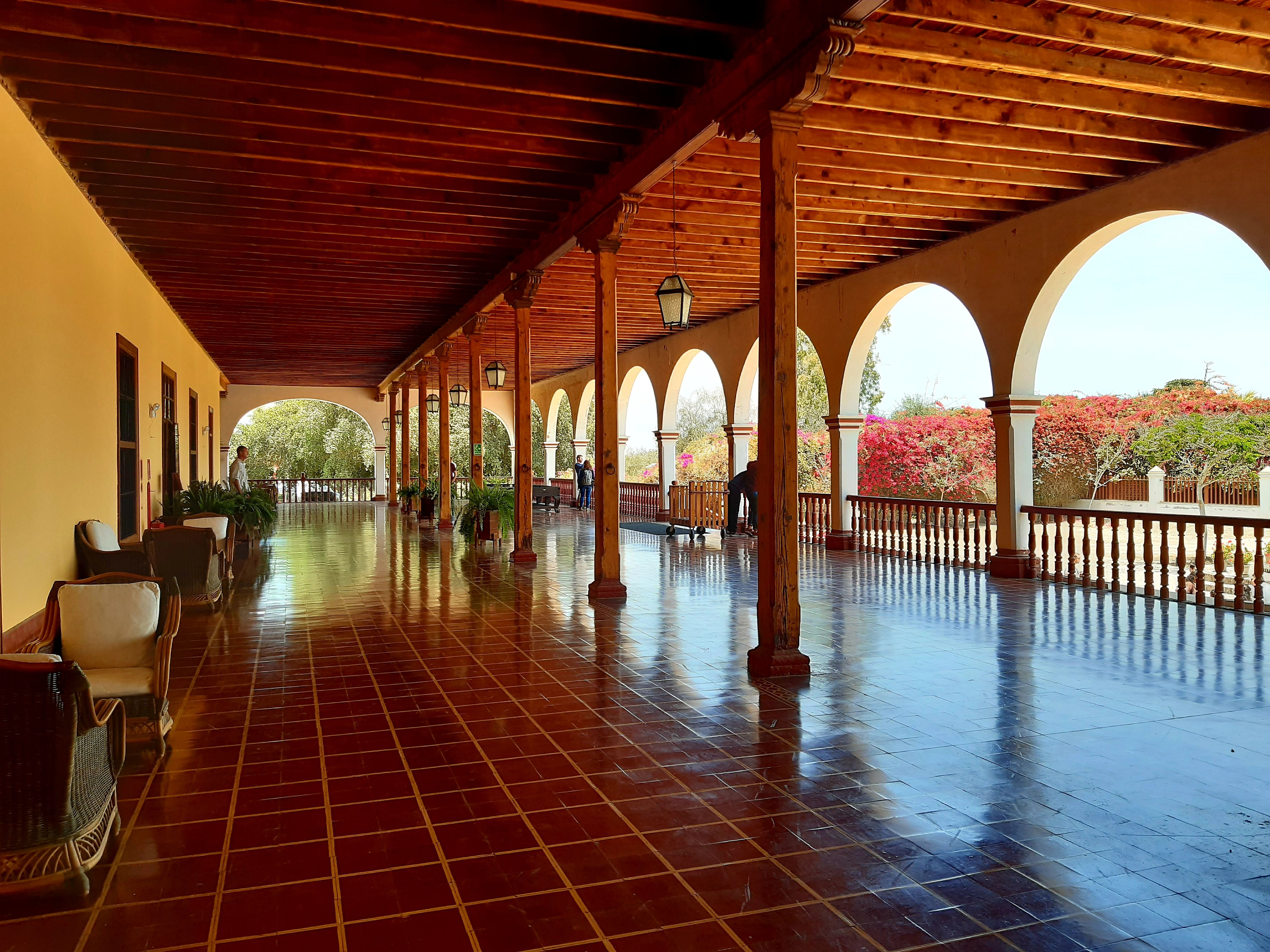
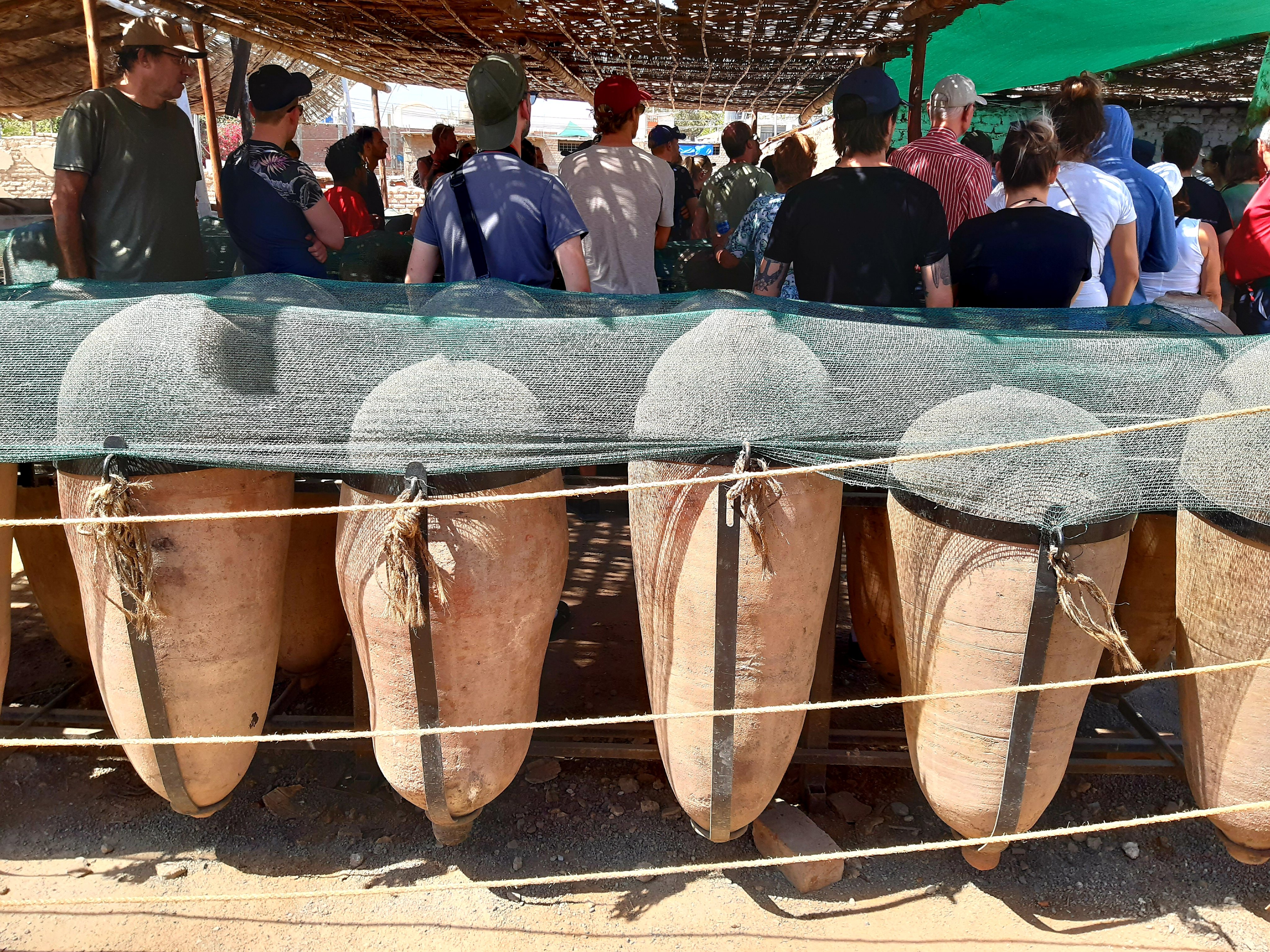
 Ica is known as the wine and pisco capital, where this Peruvian national drink is mostly made. Pisco is similar to our witblits, distilled from grape juice, with an alcohol content of 48%. It is served as pisco sour, a cocktail made up of pisco, egg white, syrup and lime juice. Delicious and could become addictive! We stopped at one of the oldest vineyards for a tour and wine and (pure) pisco tasting. The grapes have a high sugar content as the climate is hot and dry, and fermentation takes only two weeks. Peruvians like their wine sweet or semi-sweet, not dry at all. The methods used on that specific estancia are very traditional: they do not use a press, but trample the grapes and fermentation takes place in earthen jars.
 On our way to Araquipa, we passed Nasca and stopped to view some of the Nasca Lines from a tower next to the road. Some of these lines were formed over 2000 years ago, and there are different theories as to their existence, varying from indigenous people using them as places of worship, to an alien airport. Quite intriguing, as I was following our route on Maps.Me and could clearly see the geometrical lines crossing each other and the shapes that have been identified, such as the tree, lizard, hand, etc. This one is the tree:
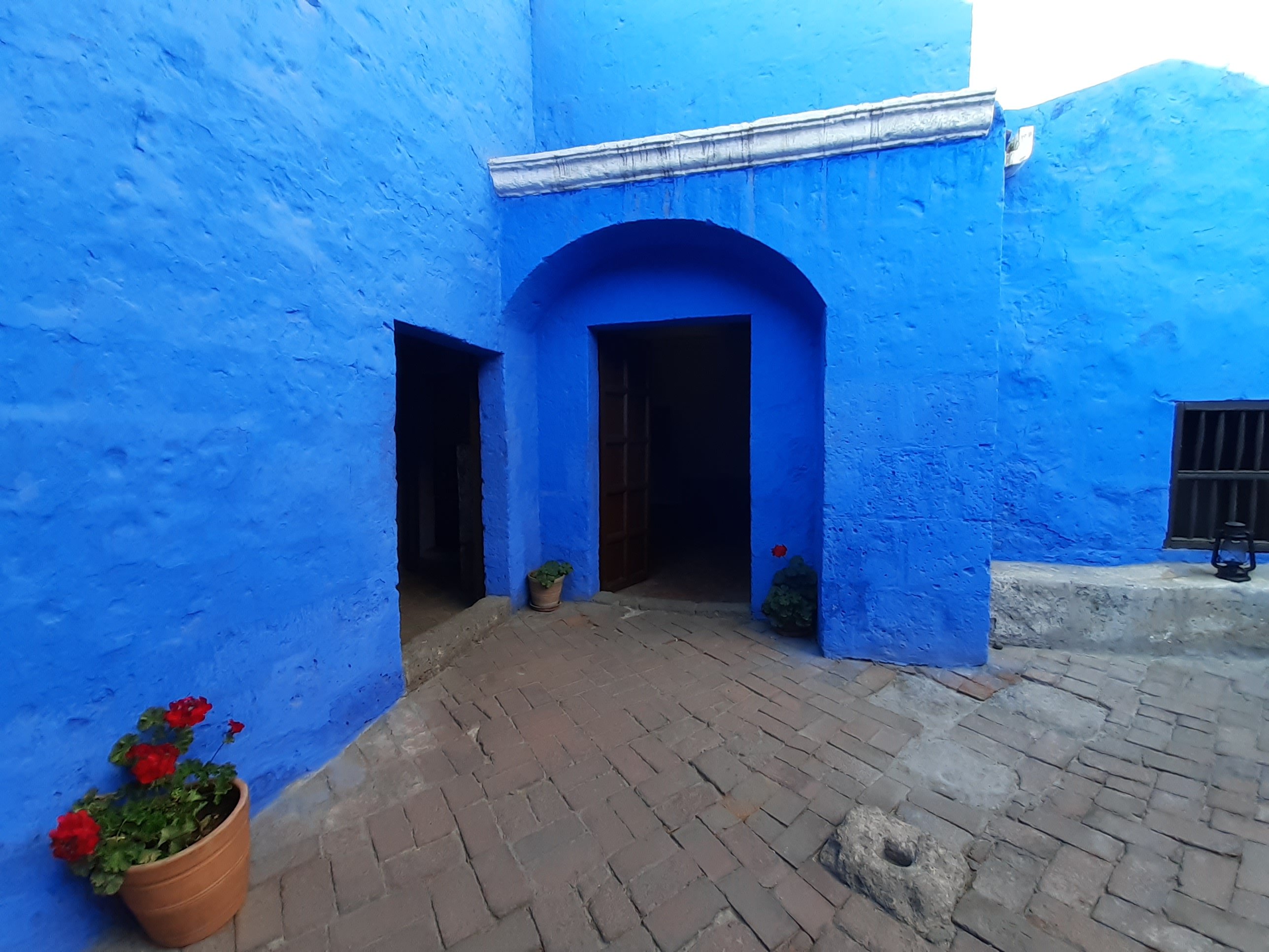
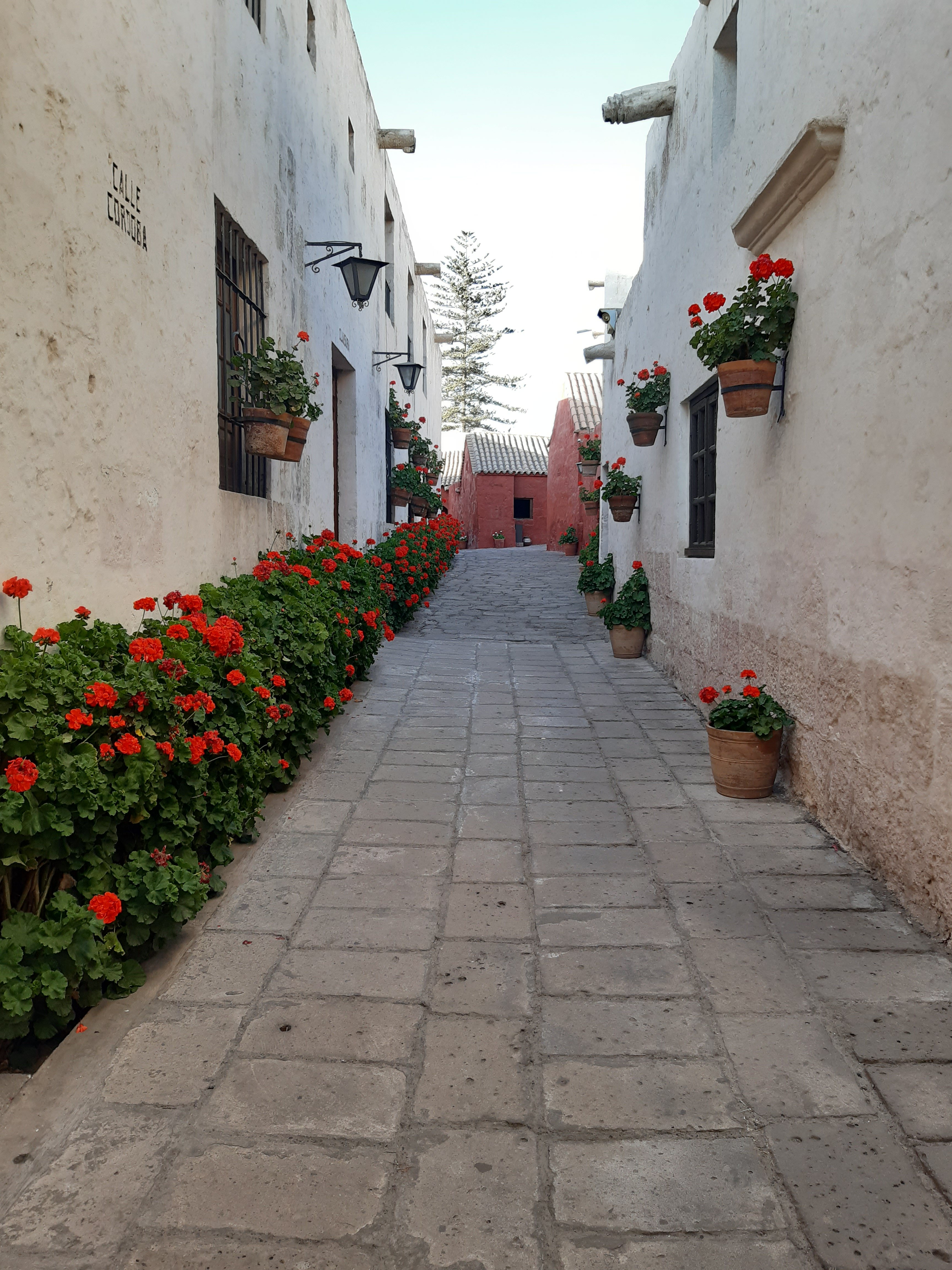
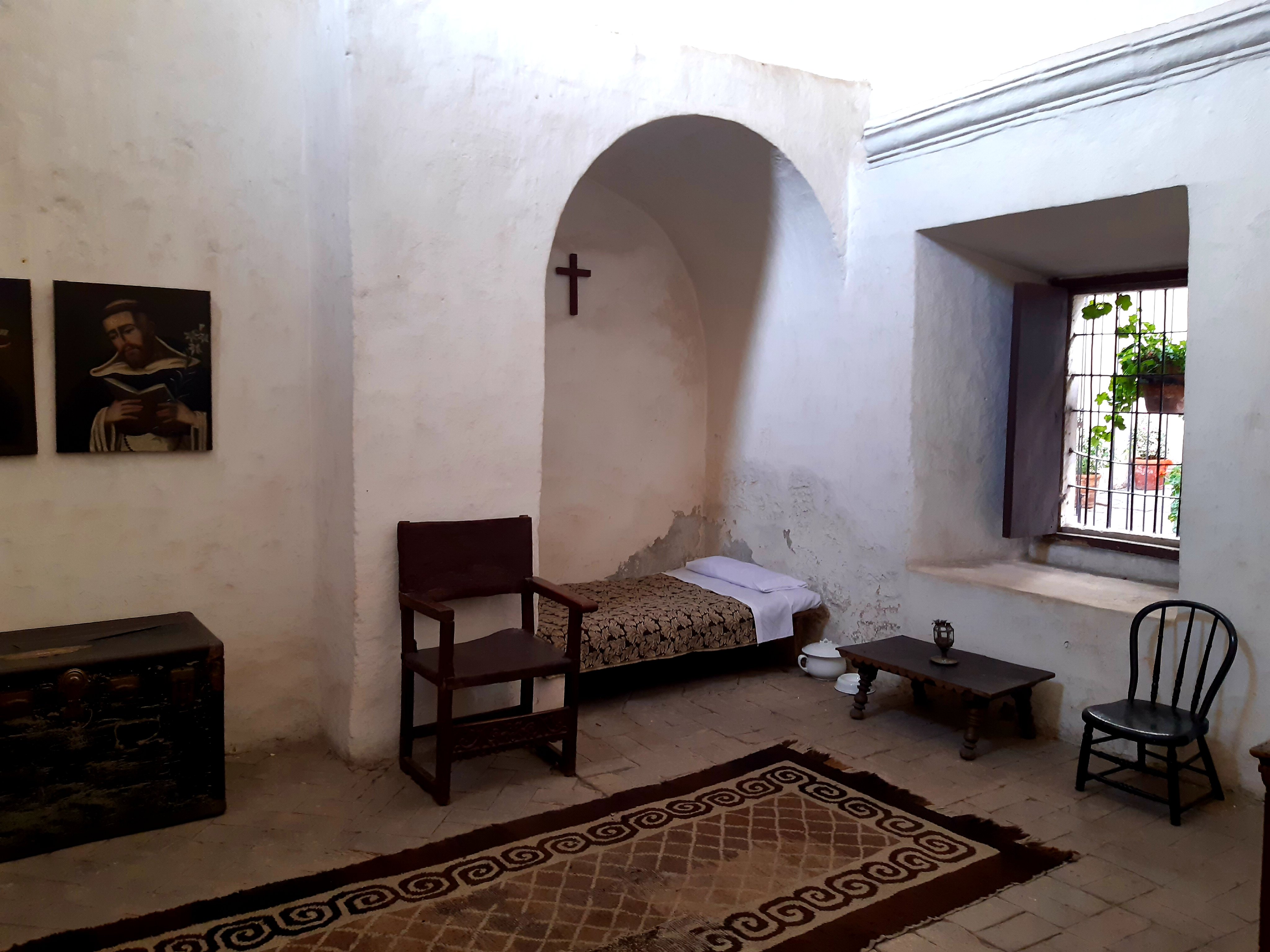
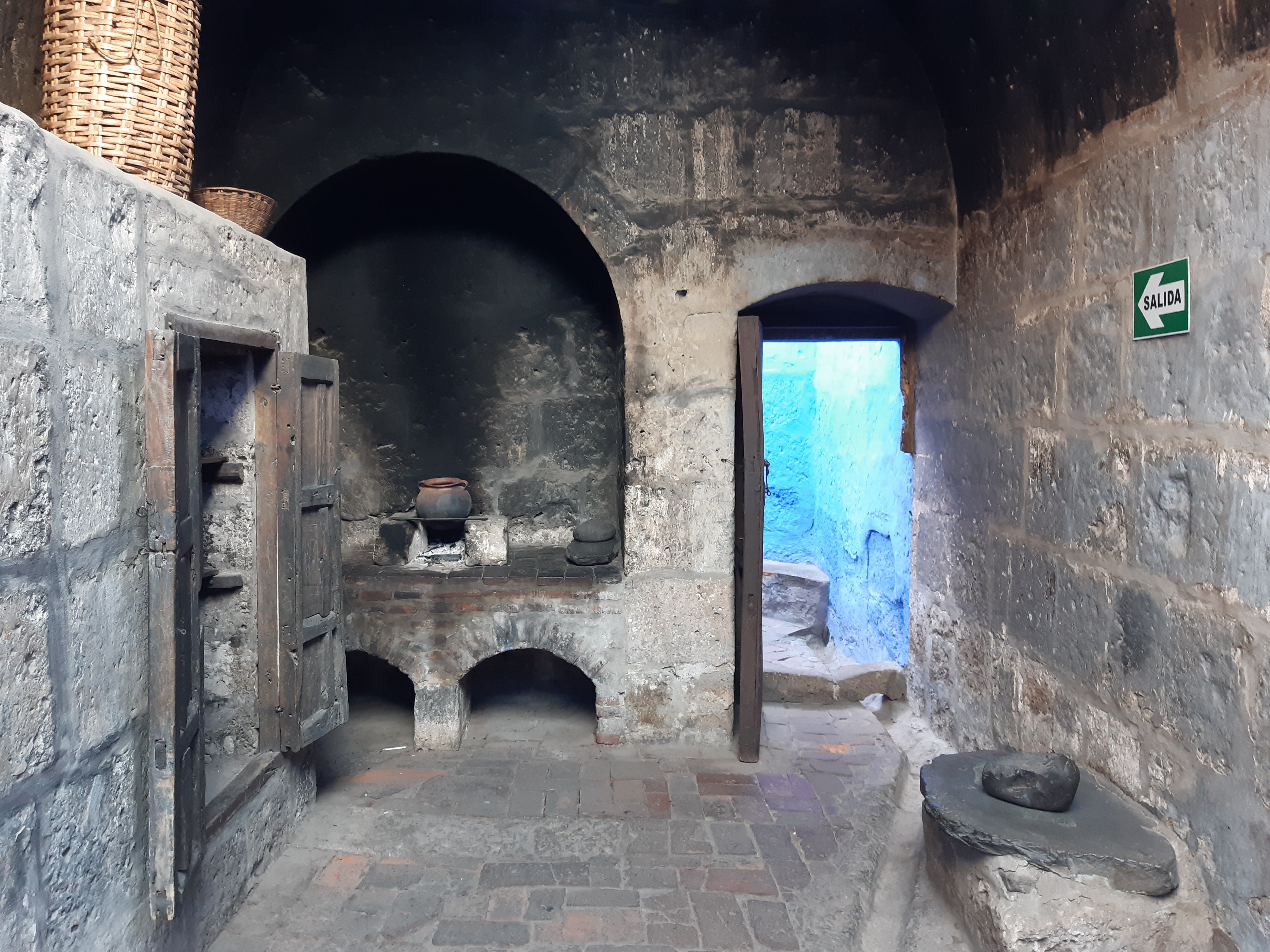
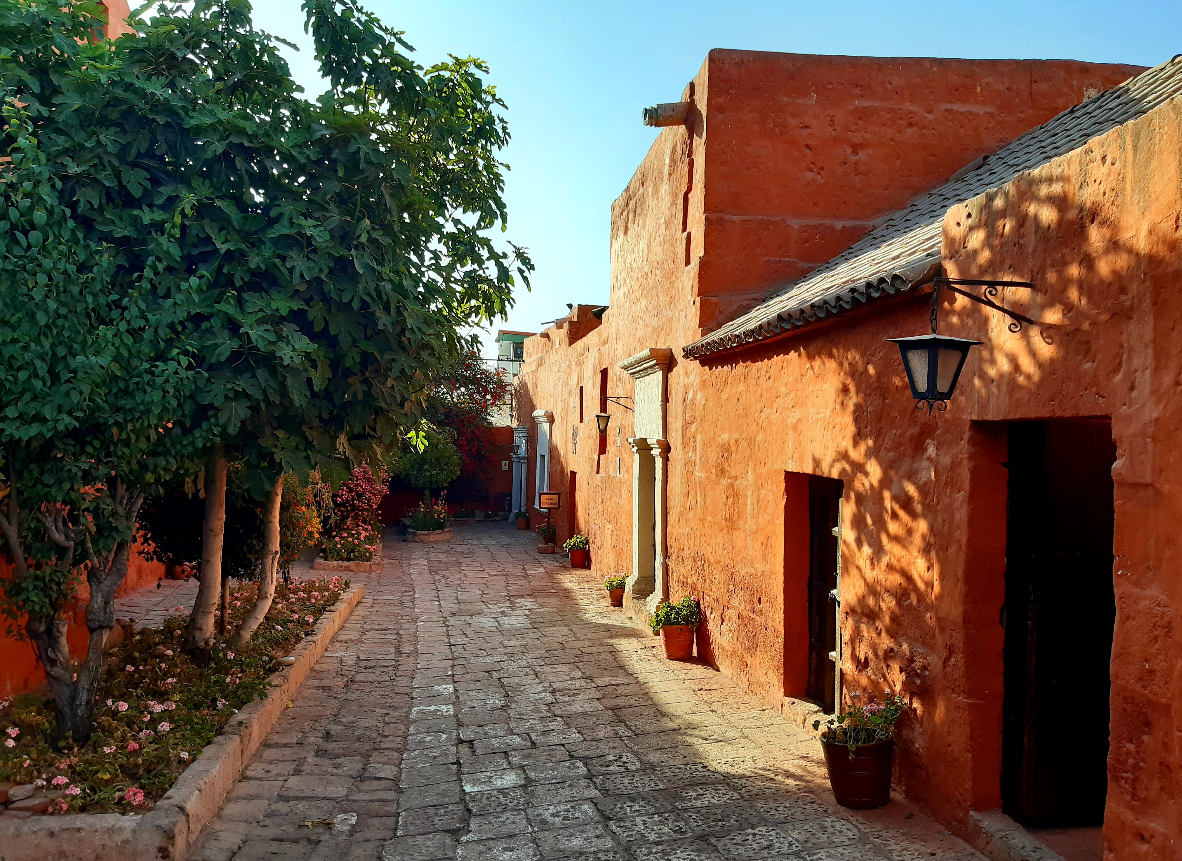
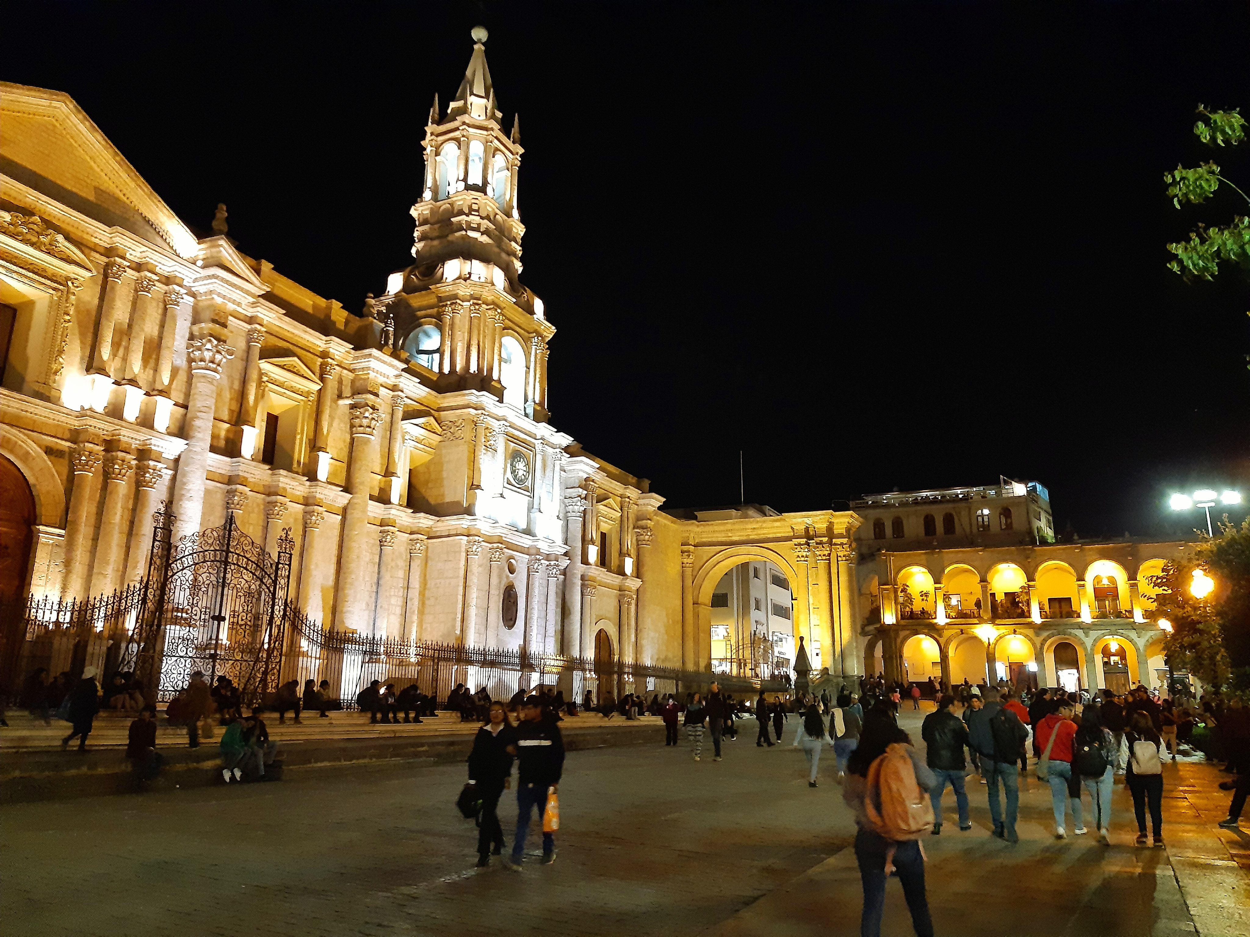 Santa Catalina Monastry close the square is well worth a visit. Founded in 1579, it was only recently opened for public viewing and is known for its colourful architecture and intriguing past. The nuns had little ‘houses’, belonging to them which they could sell to other nuns, so it is like a town within the securing walls. There is a communal washing area for clothes and a huge undercover bathing area.
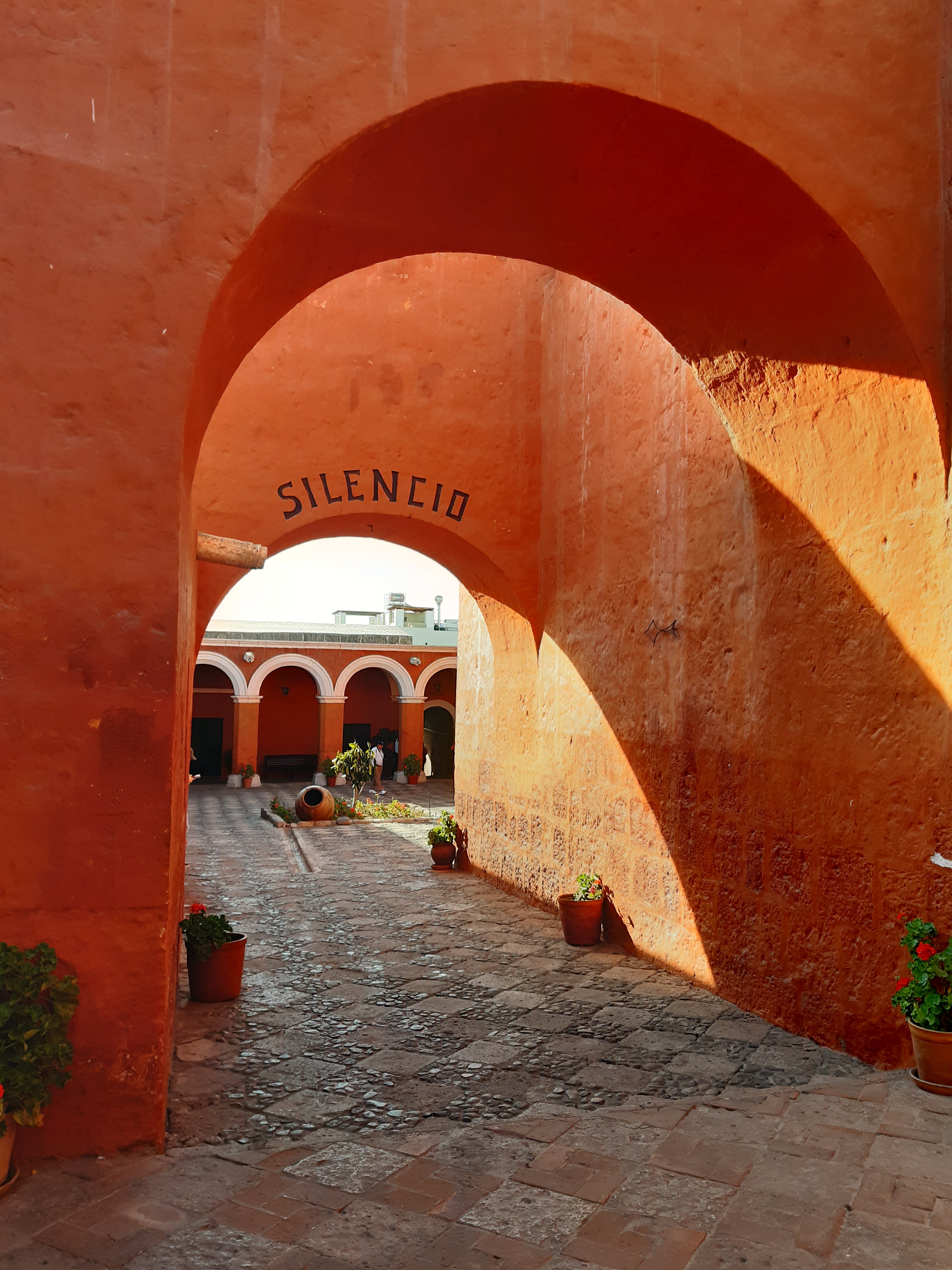
 I had booked a room through Airbnb, just to have some time away from the group and to be able to some exploring on my own. In this way one discovers many local things, such as kiwicha, which is sold as a nourishing drink full of proteins, minerals and other nutrients. Kiwicha was grown and used by the Incas, but the Spanish prohibited them from eating it during their rule, can you believe it!
 My host had given me some tips on what to explore, and I ended up taking a local bus where I saw a touching exchange of products between these two women – the one took a small bag of prickly pears from her big bag, handed it to the other one, who in exchange took out a huge piece of cake from hers and handed it to the first, both smiling shyly at each other. And yes, it is lucern in the blue plastic.
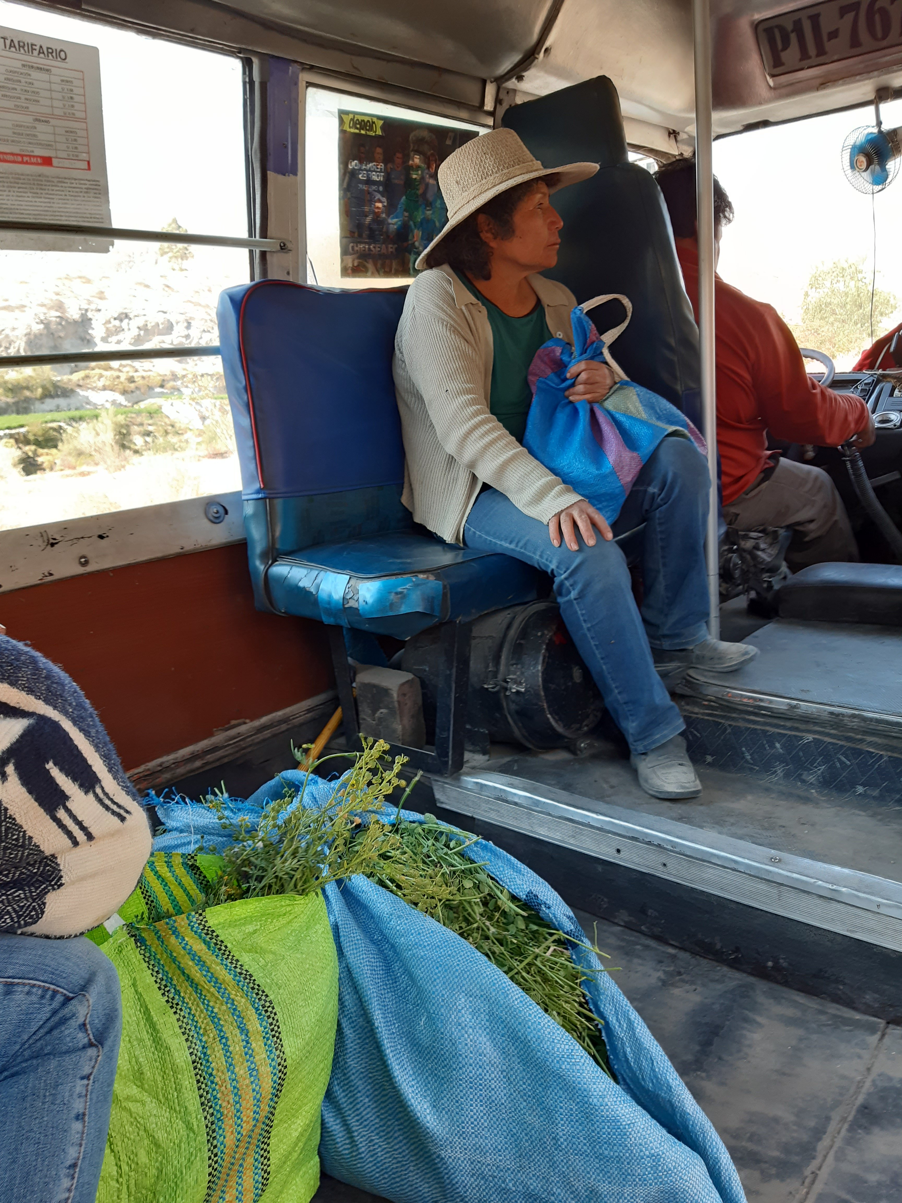

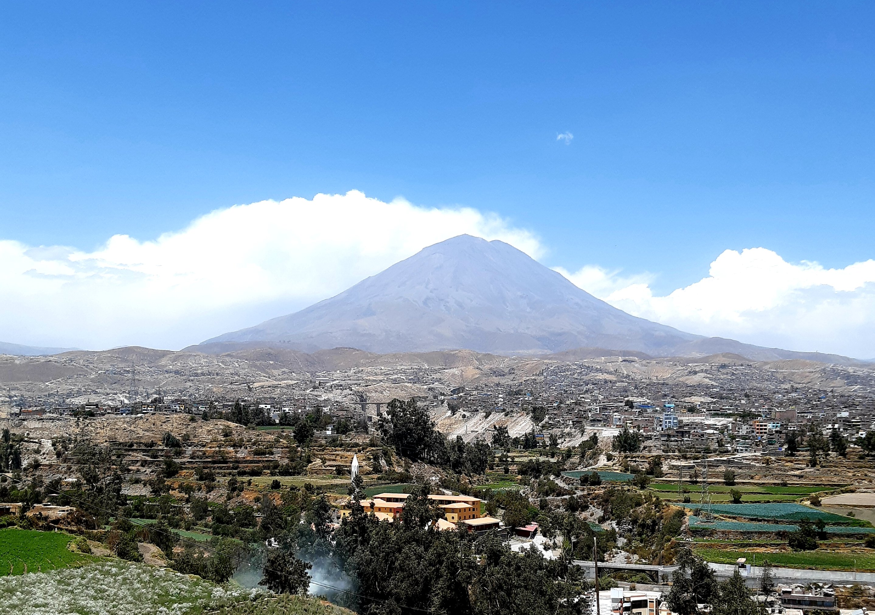
 I bought their traditional rice-icecream from a vendor on my walk to a viewpoint from where I could see the two volcanoes, one of which I believe is still active.
 Our next stop was Puno, which lies next to Lake Titicaca, 3 800m above sea level. On our way there we stopped at another small lake, also very high, and I had my first experience of being affected by the high altitude. I felt very light-headed and had a headache, so went to sit in the bus. I was holding my head in my hands, eyes closed, when I had a halucinating flying experience, quite exciting! Altitude sickness is no joke, and although I have managed to avoid the full impact, I think lower altitudes suit me better.
 I didn’t stay in Puna but took the overnight bus to Cusco, from where I leave tomorrow to go to Quillabamba. I have a volunteer job there for the next month, working at an institute that does art, music, dance and theatre therapy with children and young people.
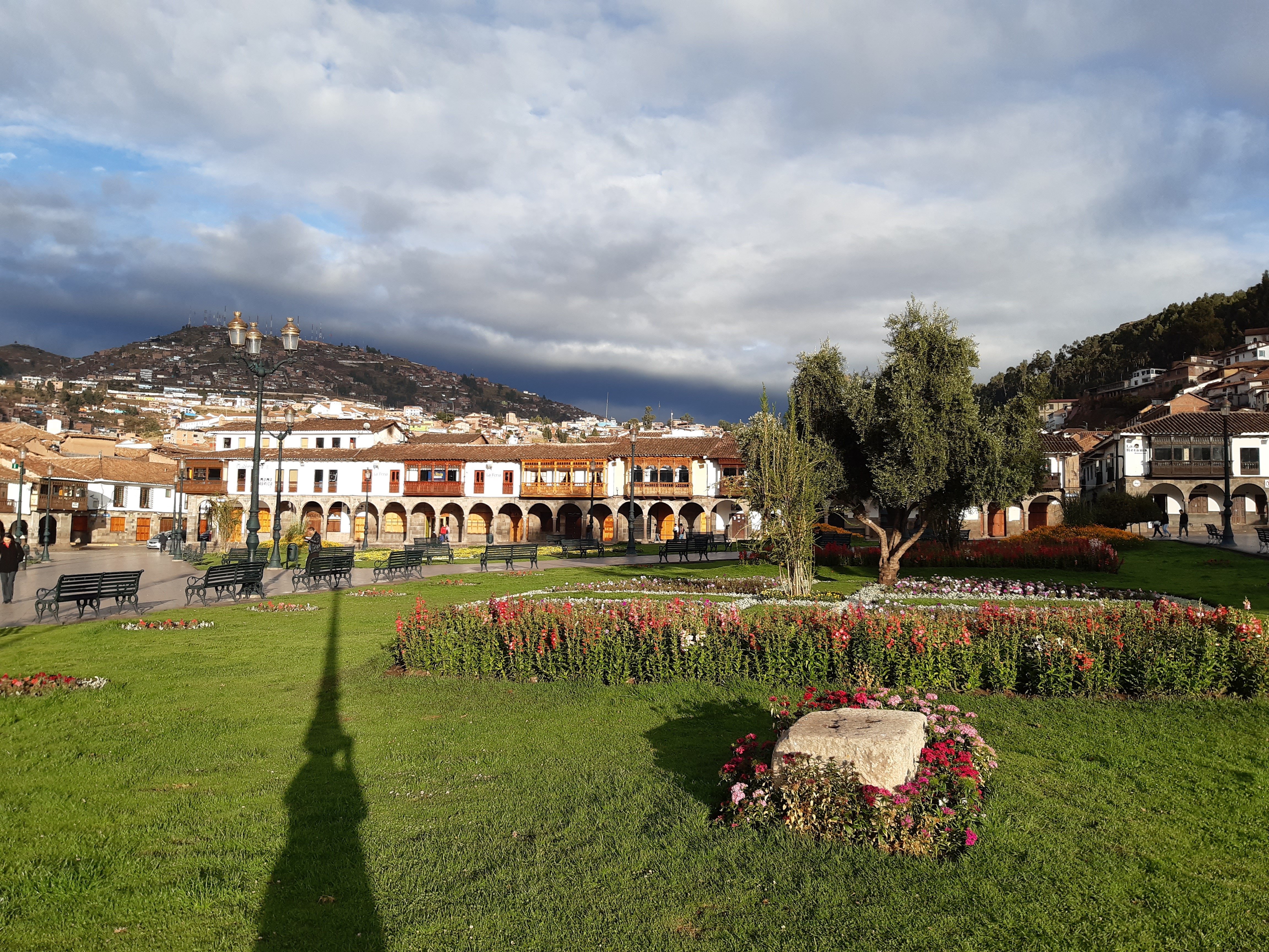


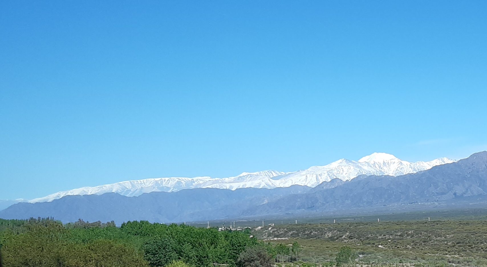
 About 100km before Mendoza the first vineyards started appearing, bright green after the dreary landscape, in a valley which produces most of Argentina’s wine, noticably Malbec. Walking into Mendoza from the bus station was like entering a forest, lush and cool, the trees forming a canopy of foliage, the buildings dwarfed by their size. There are many wild mulberry trees with huge leaves, their fruit staining the pavement, but also plane and other trees. The air was filled with the sweet scent of the flowers of the syringa trees, and the pavements were smooth and wide – Louise (my pink suitcase) had a joyride!
 We found this guy cooking hamburger patties on the rocks, which, to judge by all the burnt out fires, happens there quite frequently. There were a group of children who were being shown how to do it as well.
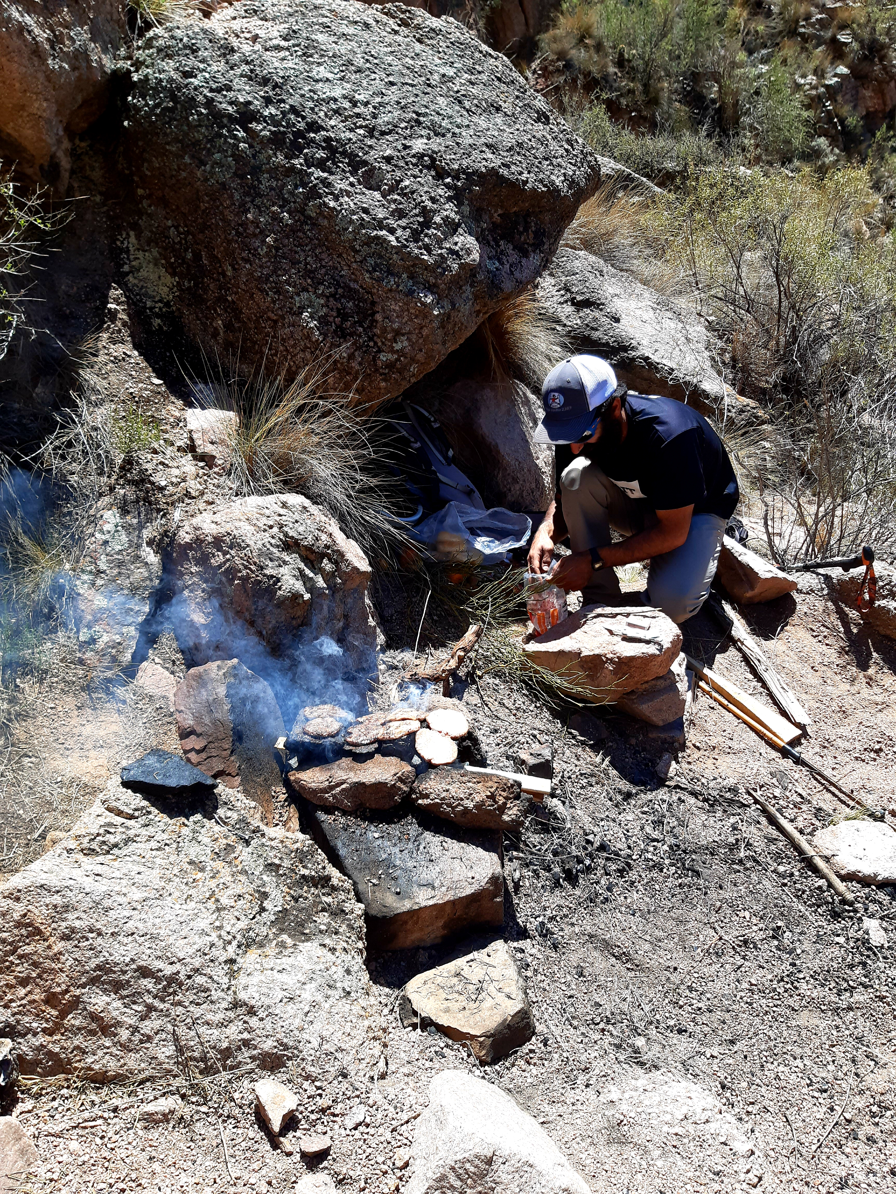 Then came the fun part: absailing down, 3 sections, the longest one about 70m. I loved it!


 There are beautiful parks and ponds, and walking streets with shops, but I really have to choose better times of being in a city centre. Everything closes and people and cars disappear between 13:00 and 17:00, and then come back to life, reaching a peak around 20:00.
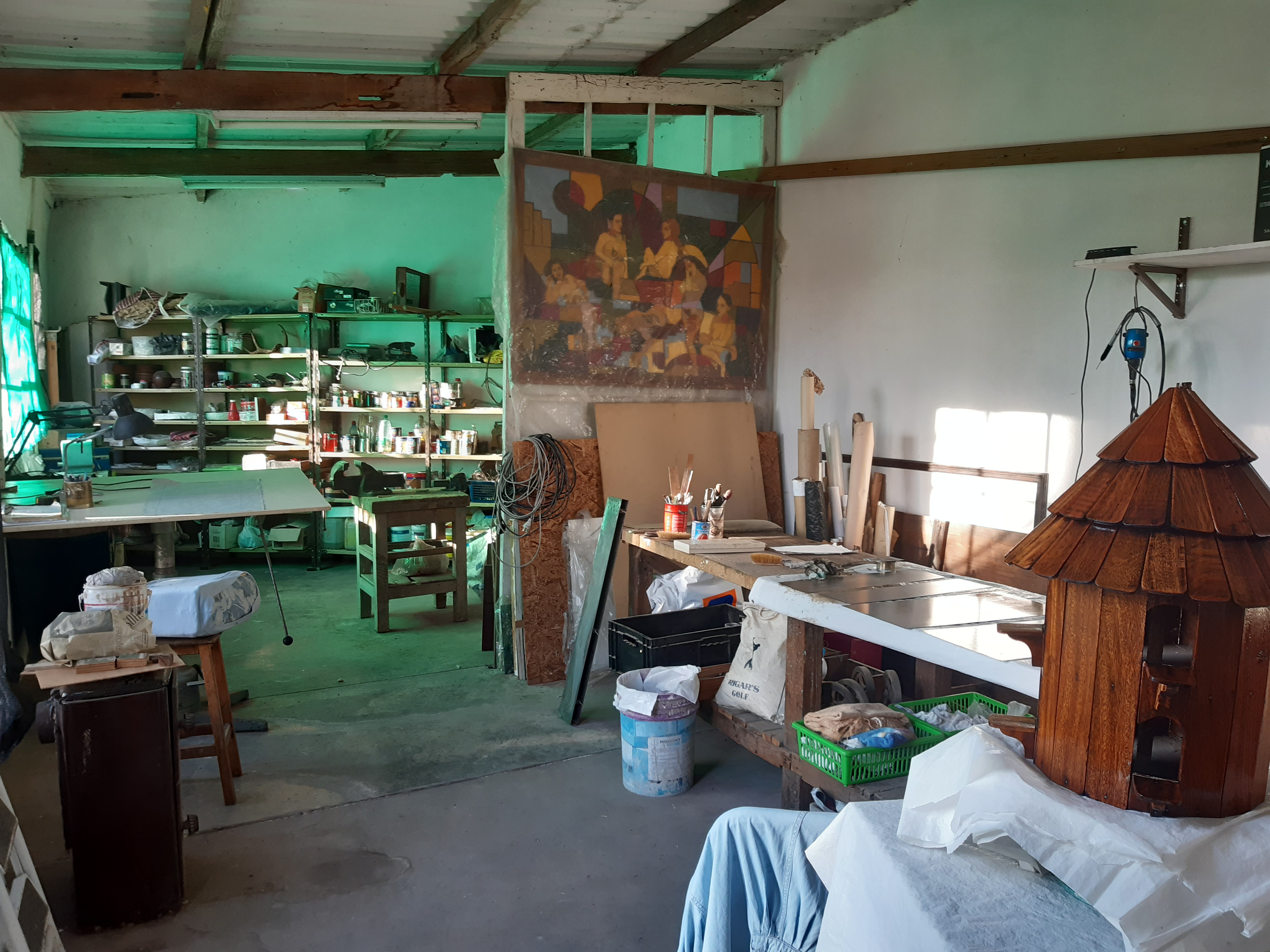
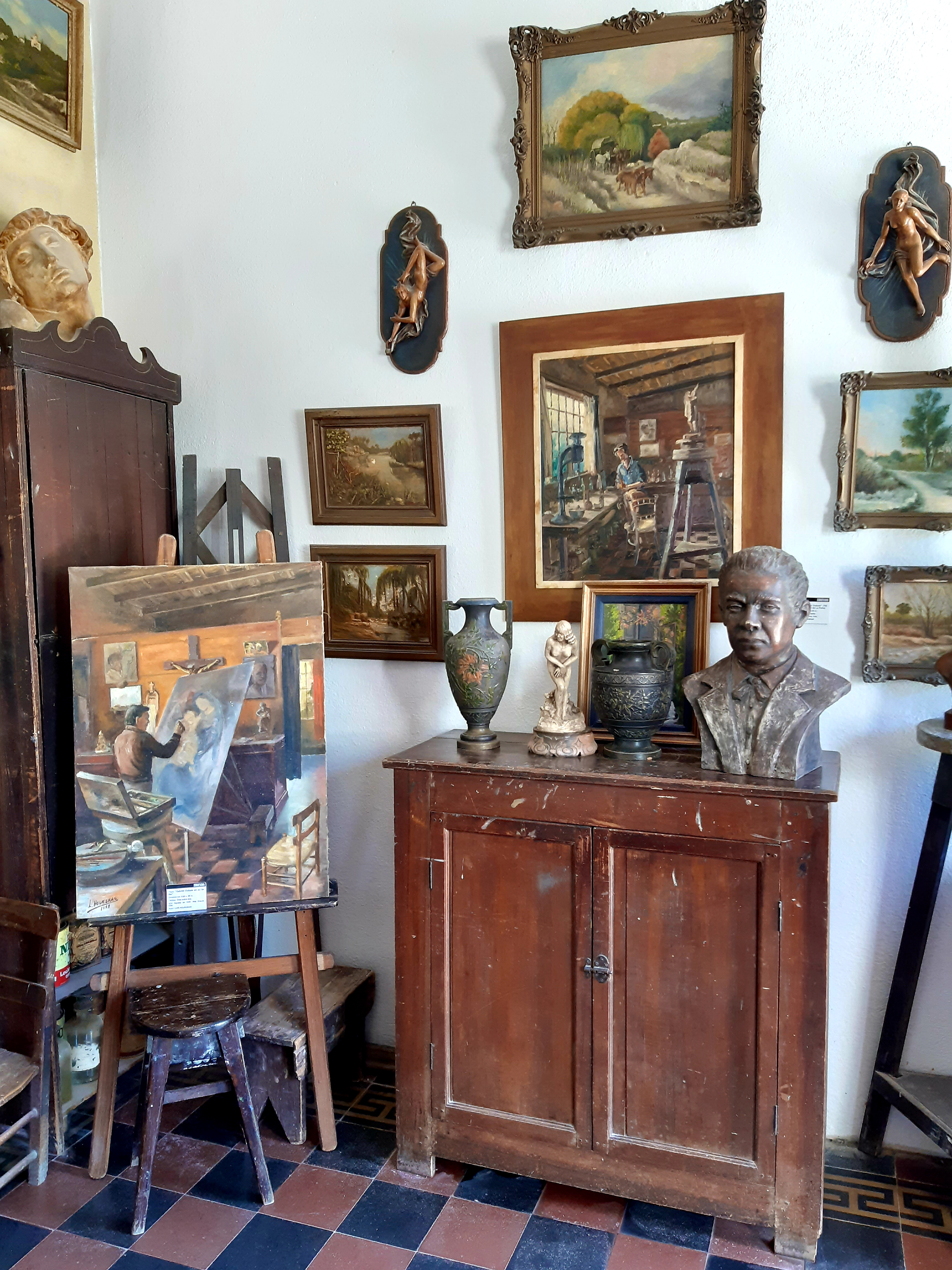 The painting in the middle is of Titi in the workshop, and it was a unique experience to be standing in the exact same workshop, everything kept as it was at the time of Gabriel’s death.
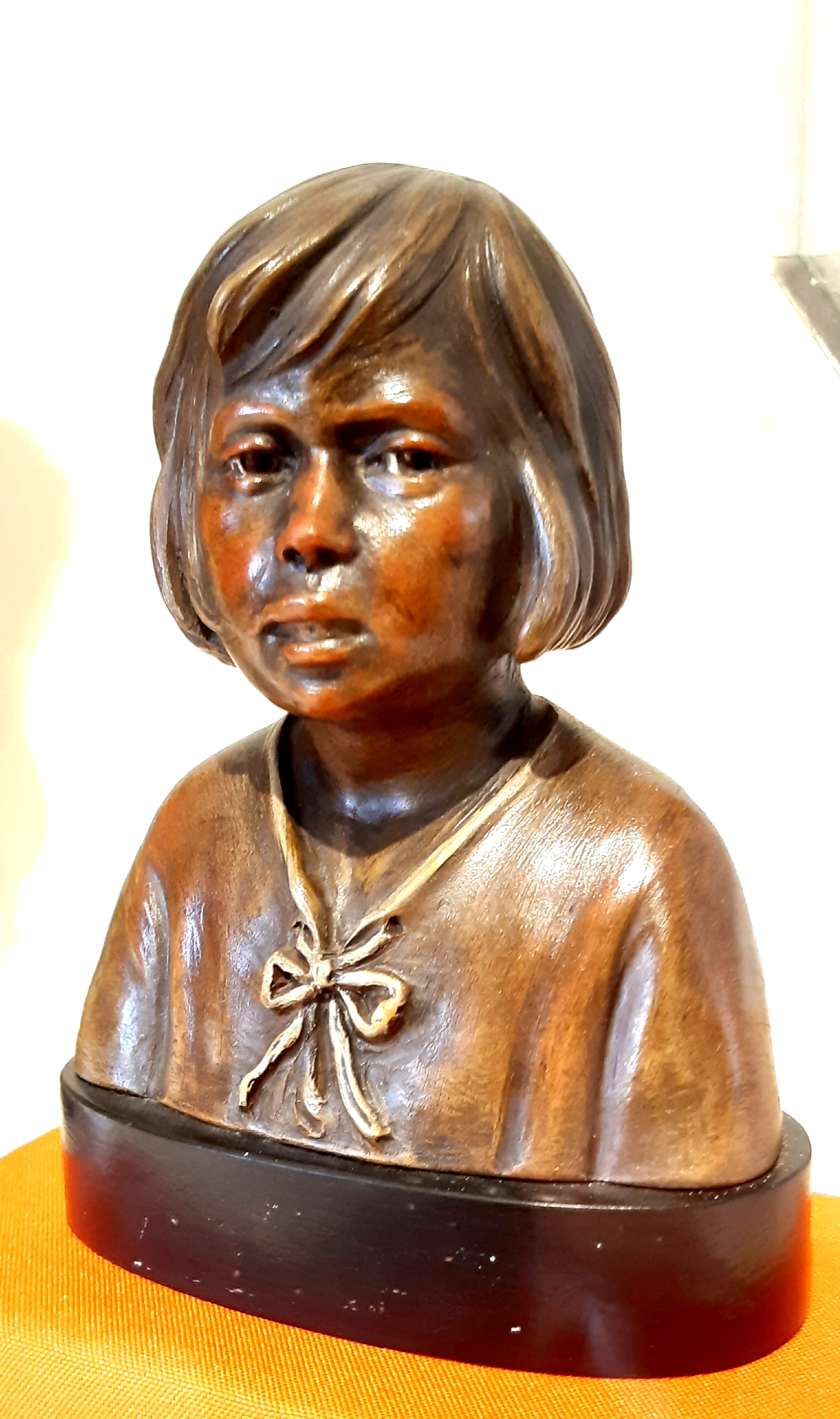
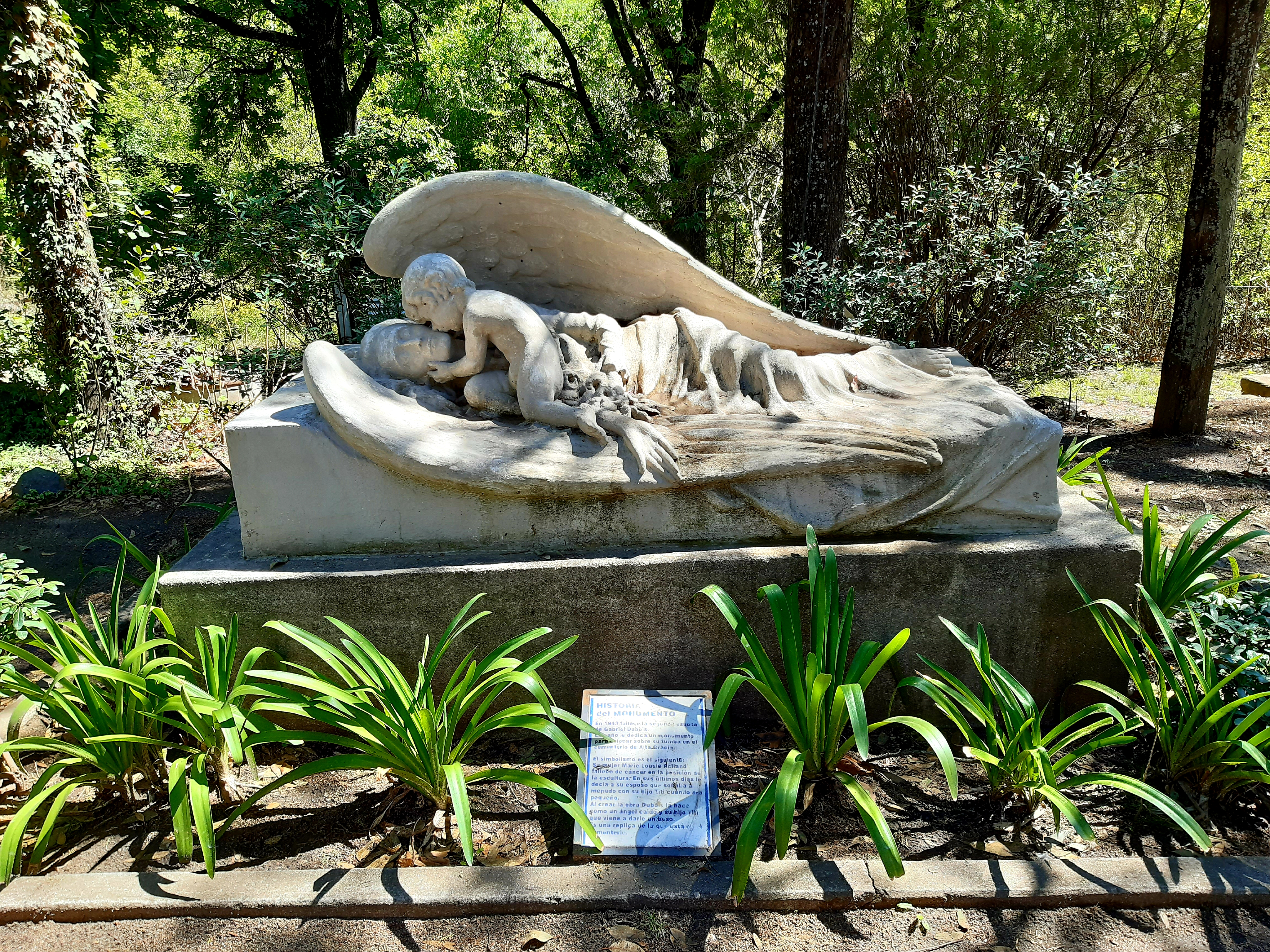 Gabriel then took in a woman to do the housekeeping, and her son, Luis Hourgas, became the only student he ever had. The house was often the gathering place for artists and intellectuals of the town, and one could easily imagine the conversations that took place there.
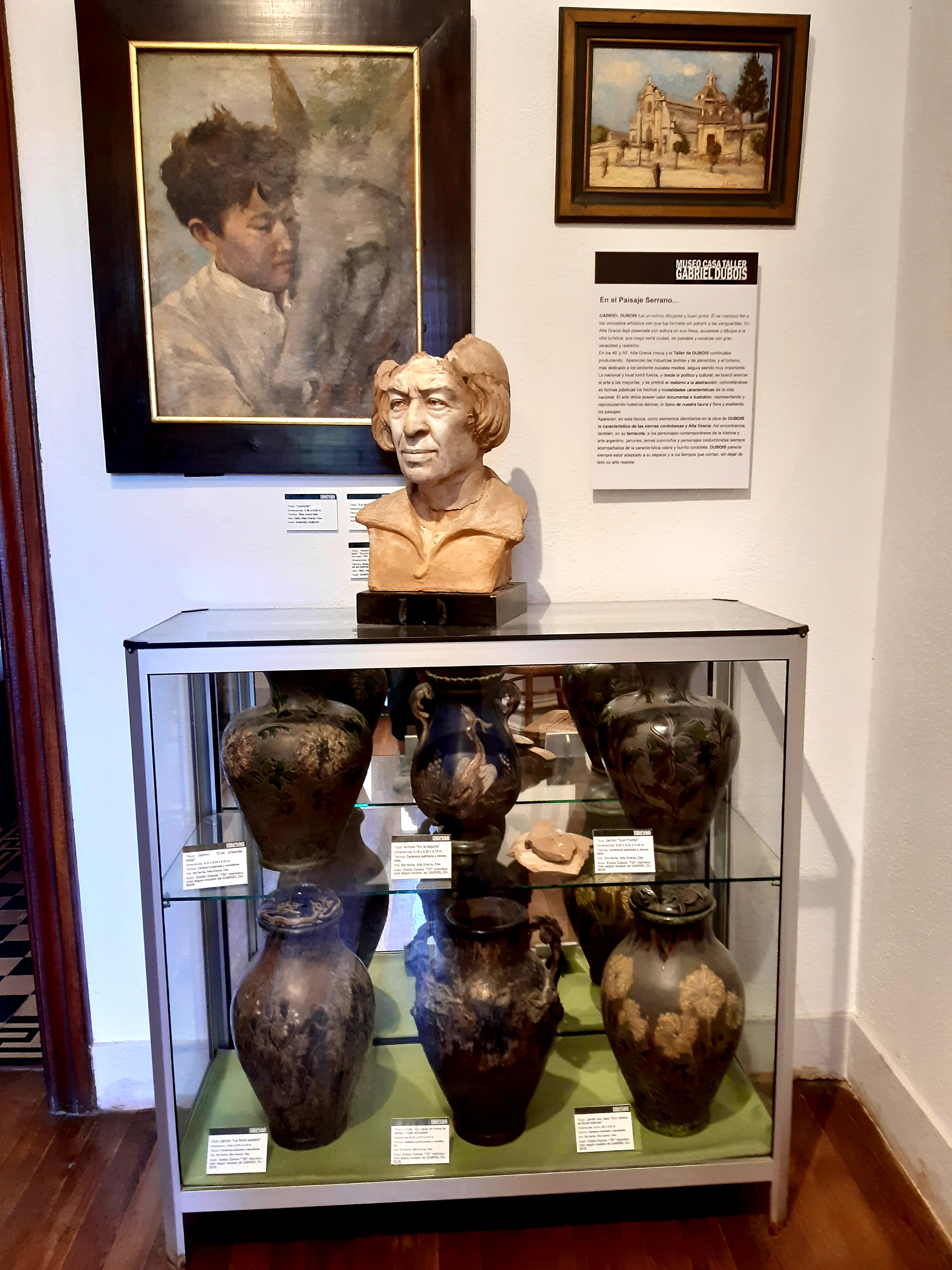
 He had never married and his sister, also unmarried, took it upon her to care for him after their parent’s death in 1919. As one enters the house, one is enchanted by his music which fills the rooms. He had many well-known friends, such as Picasso, Dalí, Vázques Díaz and others, who had all made caricatures of him that hang in the passage. Picasso also made drawings of costumes used for one of his operas. Some fellow composers:
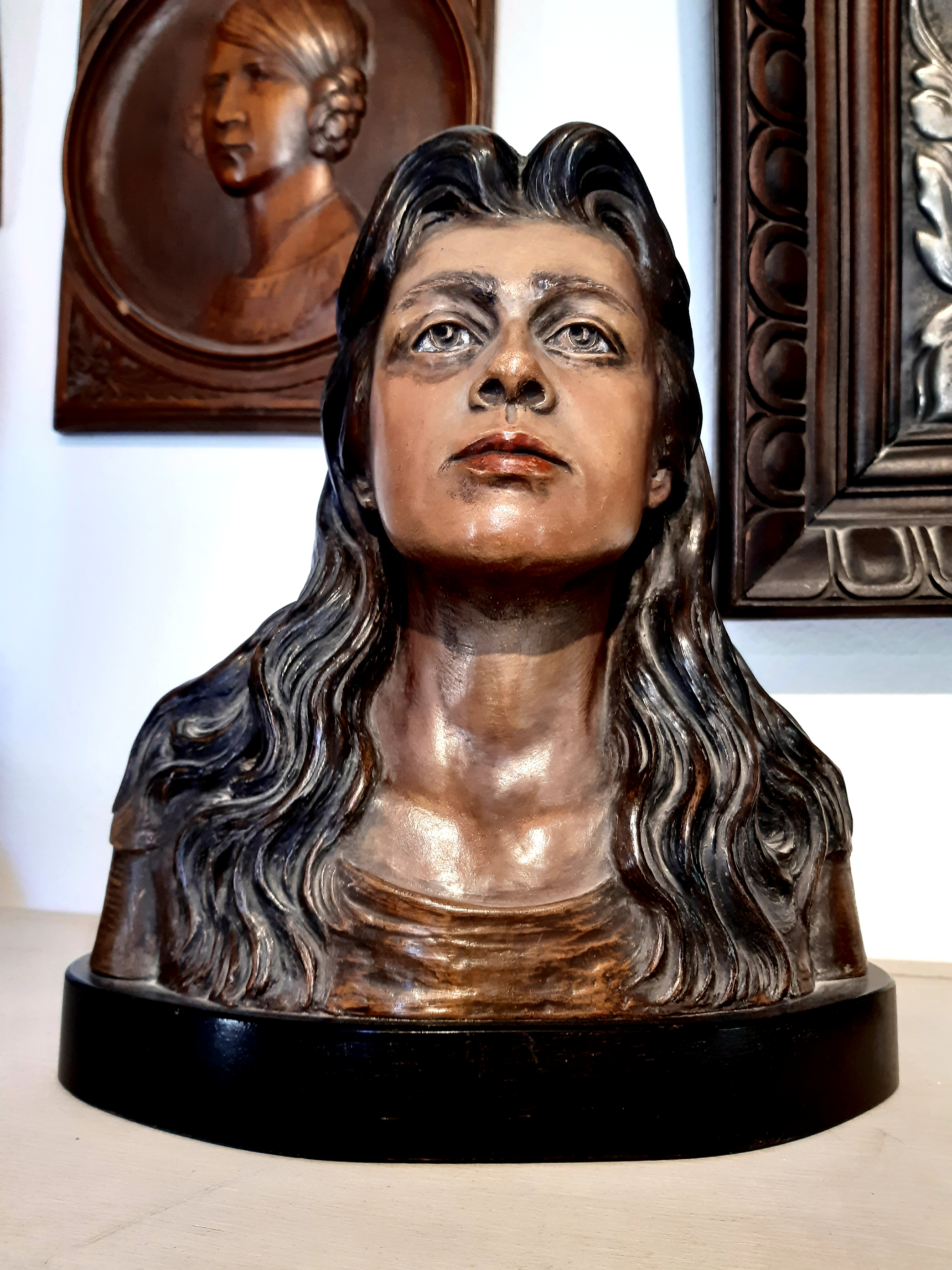
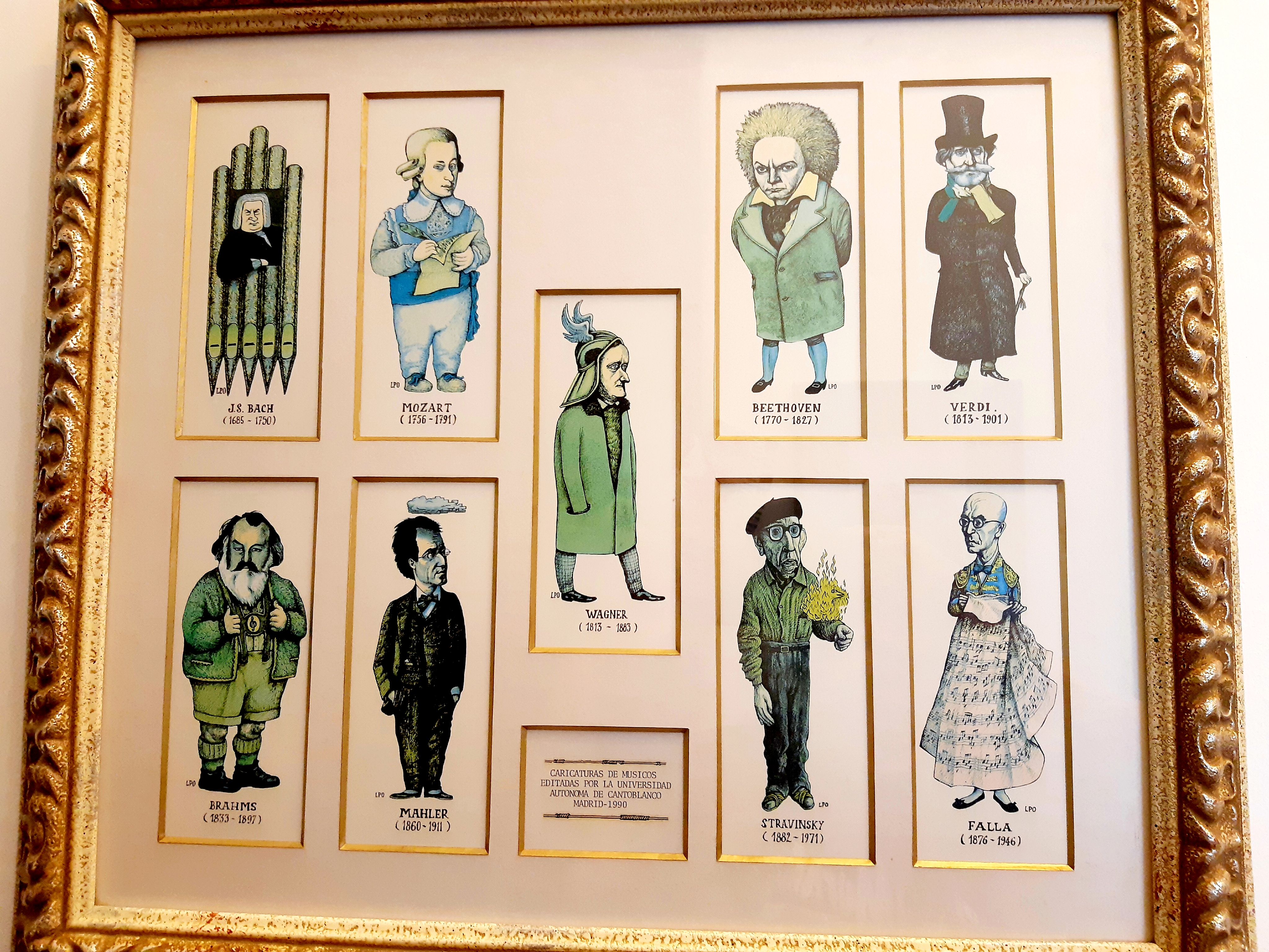 This following sculpture of La Falle, ‘The Creative Inspiration’, was made by Luis Hourgas, the student of Gabriel Dubois – quite uncanny for me to have just heard of him.
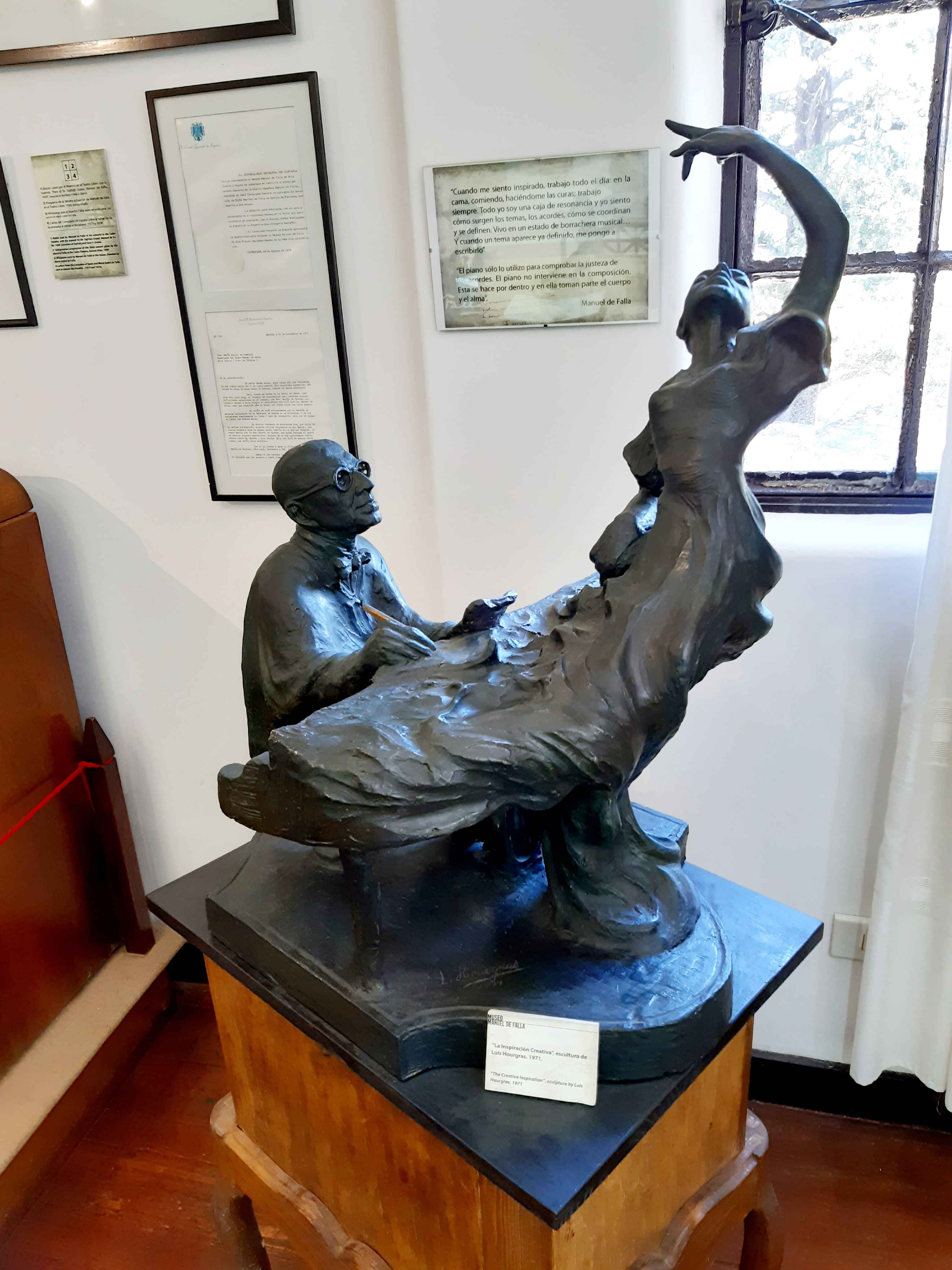 The elongated window seen in the photo was designed for La Falle to be able to see the mountains while he worked. He also had another window from which he could view the chapel on a hill that he and his sister often attended, his health and weather permitting.
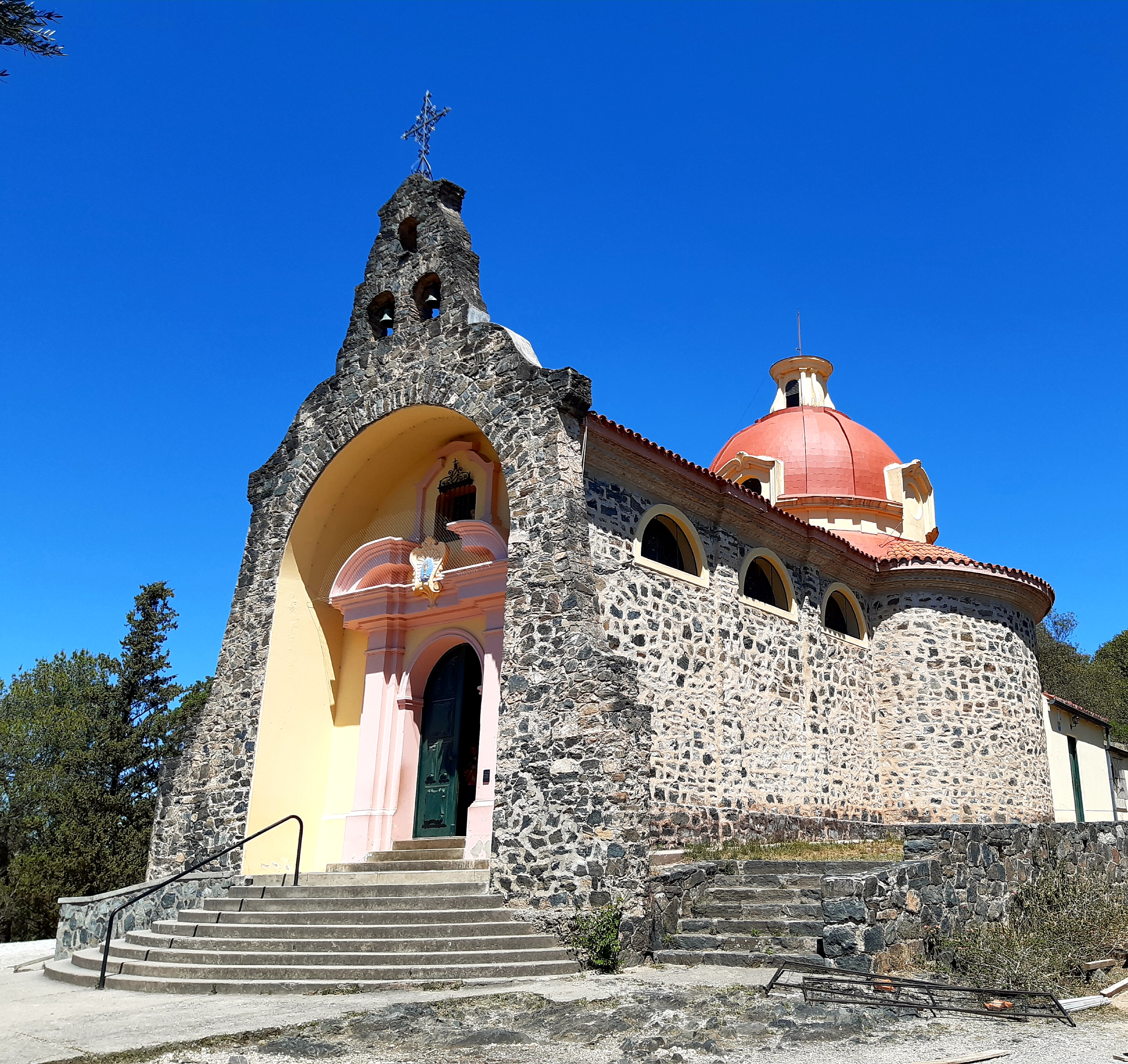
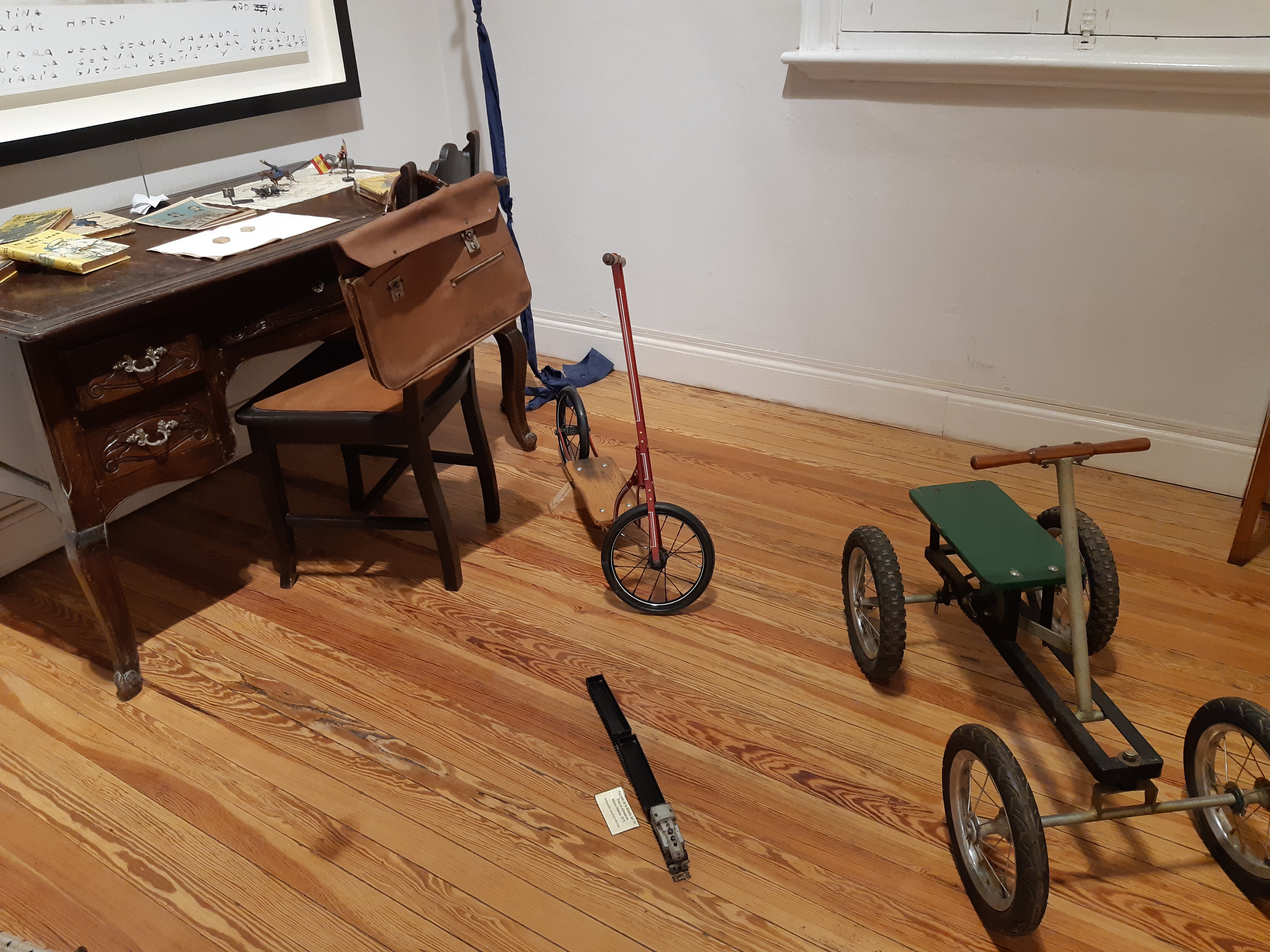
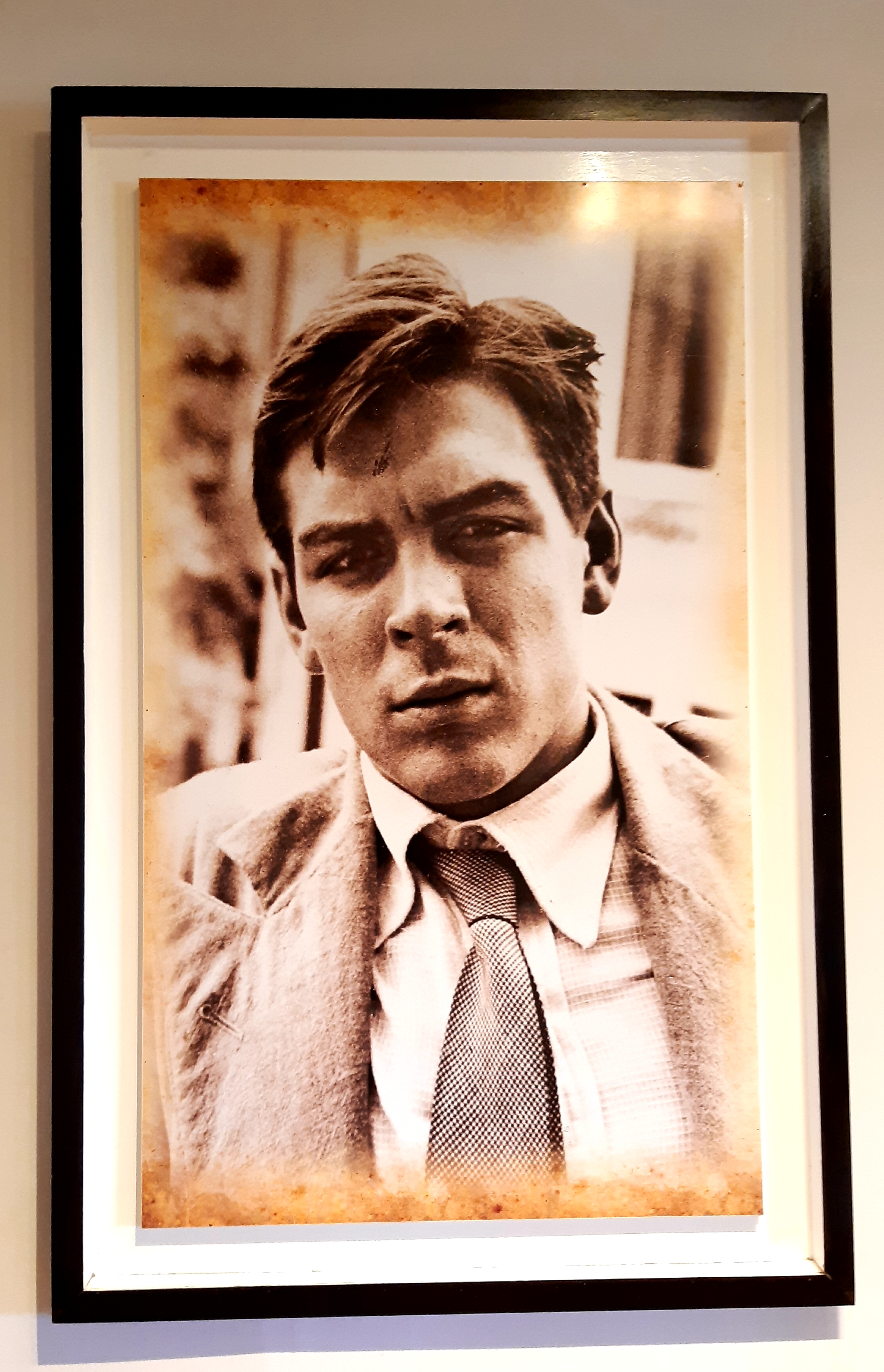
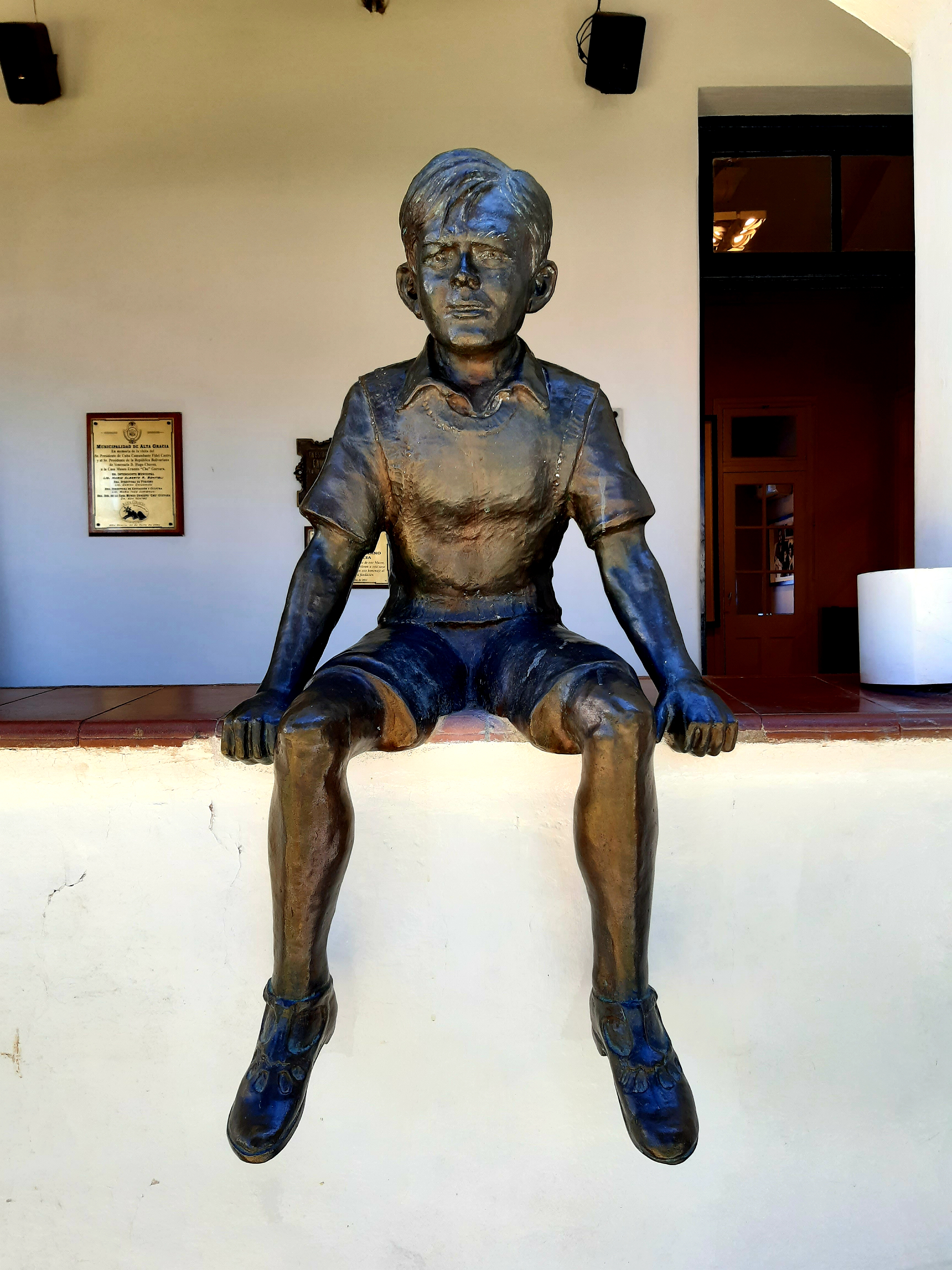 Che’s full name was Ernesto Guevara de la Serna, the last part being his mother’s surname. Despite his health problems, he led an active life taking part in different sports, thus ‘acquiring a spirit of discipline and self-control‘, alias the brochure. Evidently he was a playful and intelligent child, who shared many adventures with his friends. He was an avid reader of well-known authors from an early age, as can be seen from the children’s books lying on his desk in his bedroom.
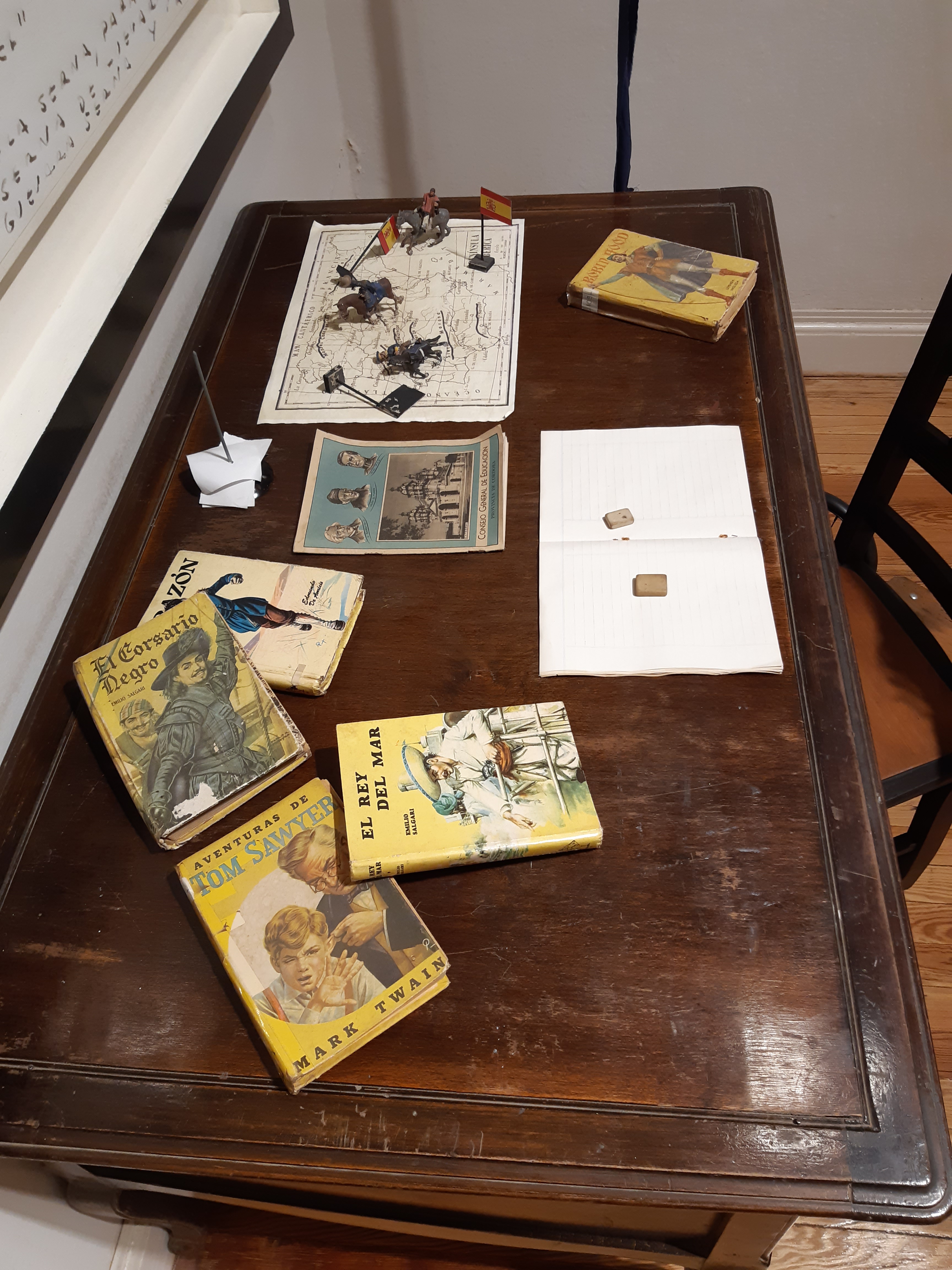
 After school he went to study medicine in Buenos Aires, but interrupted his studies to do a 4 000km bicycle tour of northern Argentina, during which time he became aware of the social inequality in the country.
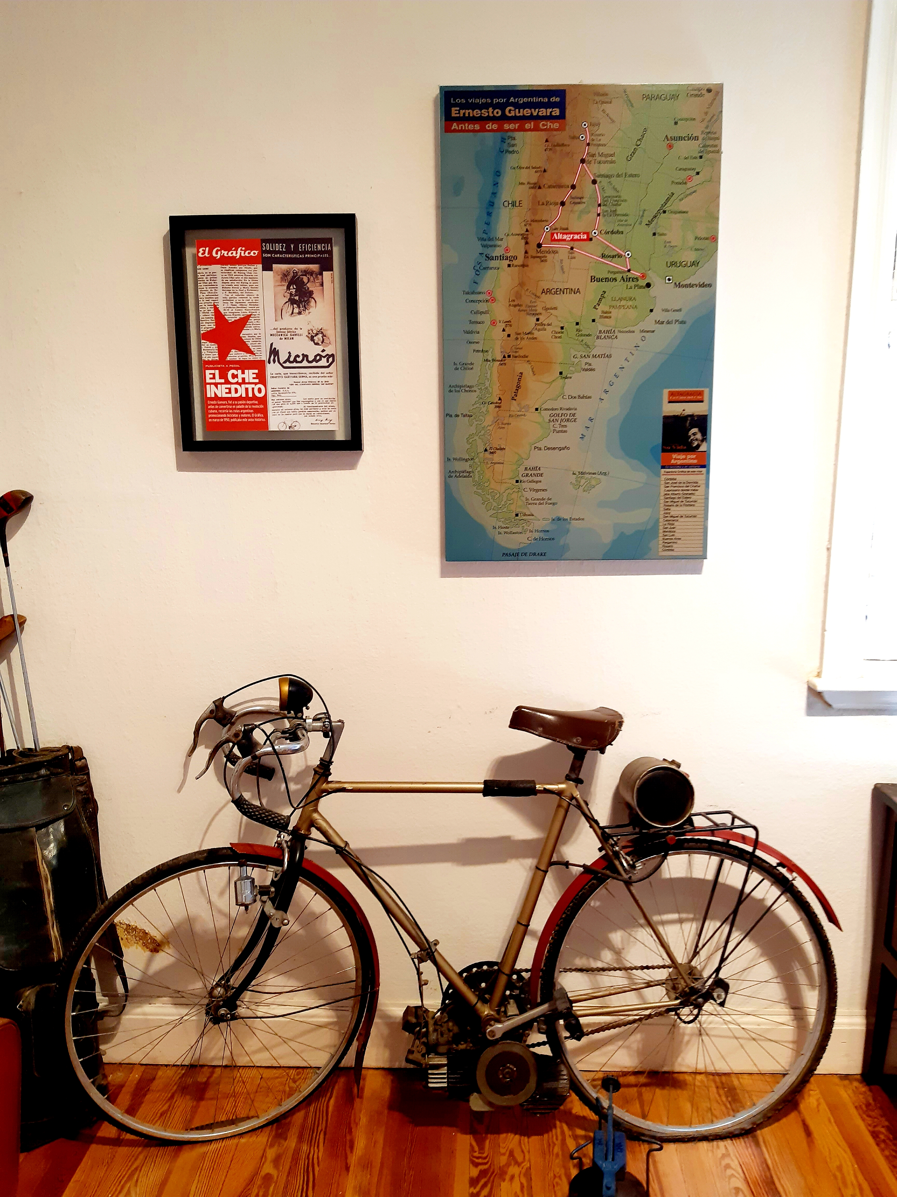
 After returning to Buenos Aires, he embarked on a another tour, this time of Latin America, on a motorbike with a friend, Alberto Granado.
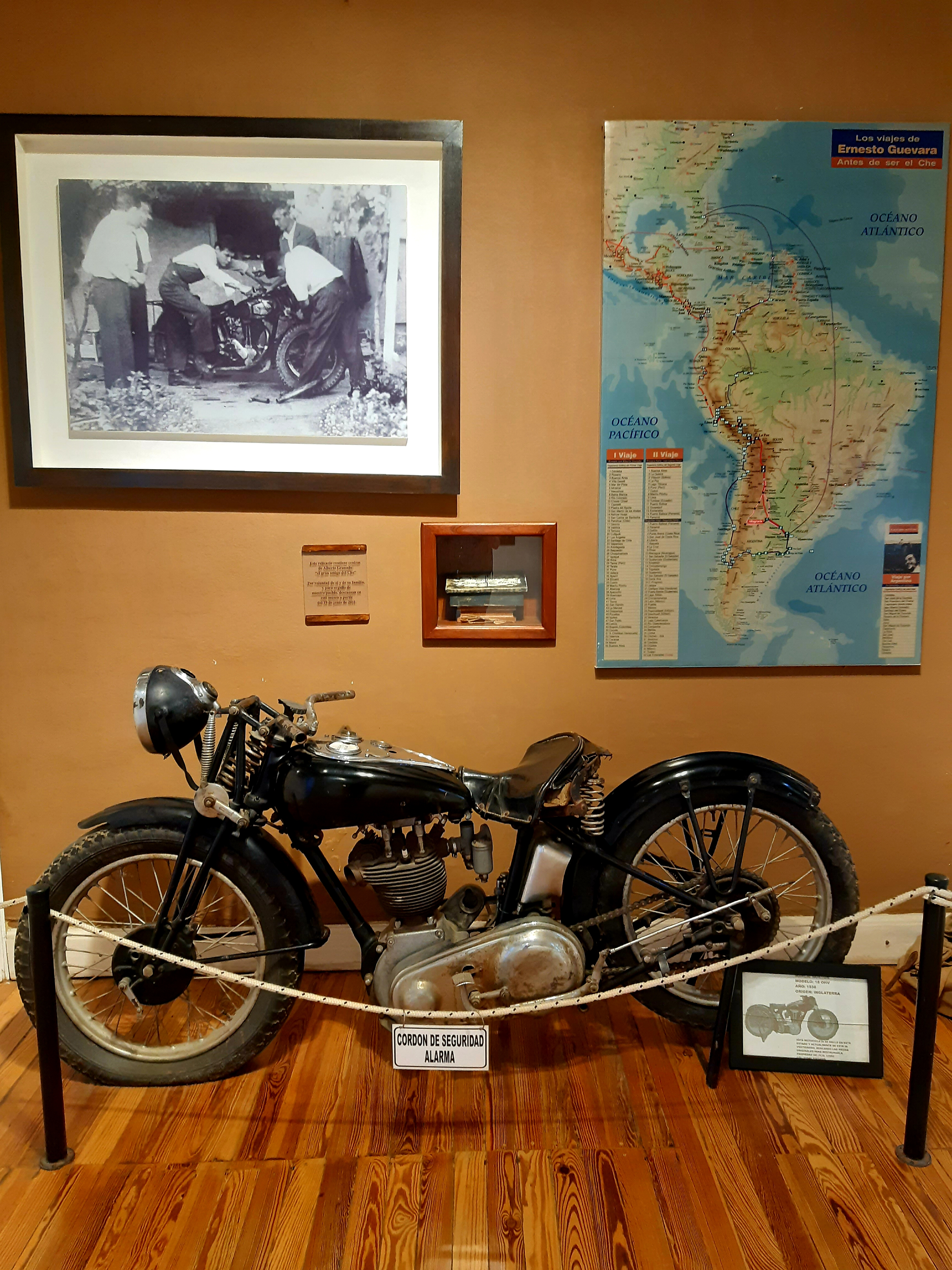 After reaching Venezuela, he returned to finish his medical studies, as he had promised his mother. This he did in less than a year, qualifying as physician at the age of 25. He and a childhood friend, Calica Ferrer, made a second trip through Latin America, travelling through Bolivia, Peru and Ecuador, where they parted ways. Ernesto went to Guatemala, where he met a Cuban Ñico López, who gave him the nickname Che, and a woman who became his first wife, Hilda Gadea. He left for Mexico, where in July 1955 he met Fidel Castro from Cuba, and enlisted as a field doctor in his future guerilla expedition.
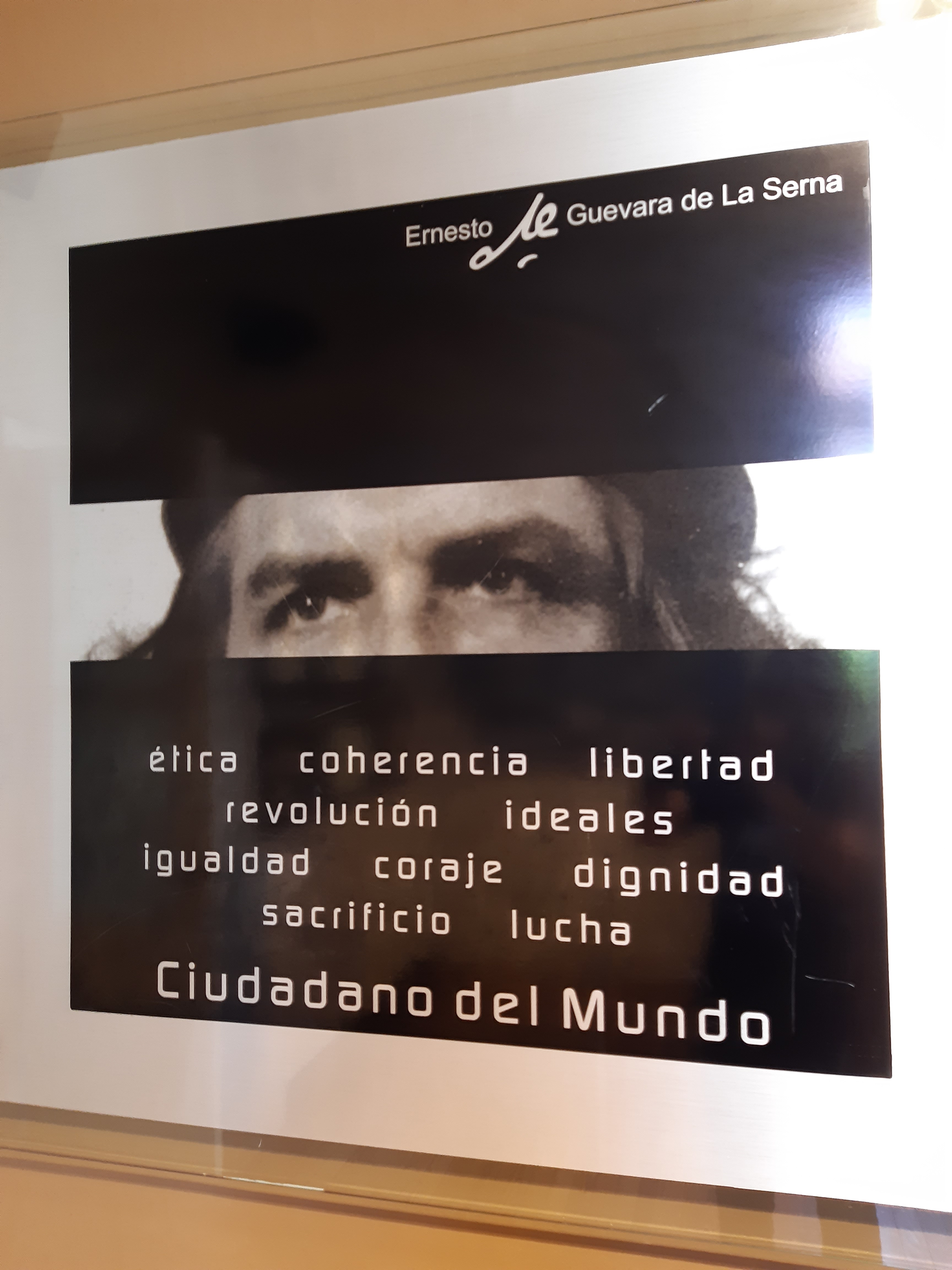 Che left Cuba in 1965 to join forces with guerrillas in the Congo, but left after 7 months, as their disorganization, mass desertions and tribal divisions led to failure. He went to Bolivia to lead the revolution in that country, but was wounded, captured and interrogated on the 8th October 1967, and shot dead on the 9th October. His body was only found 30 years later in a communal grave in Bolivia.
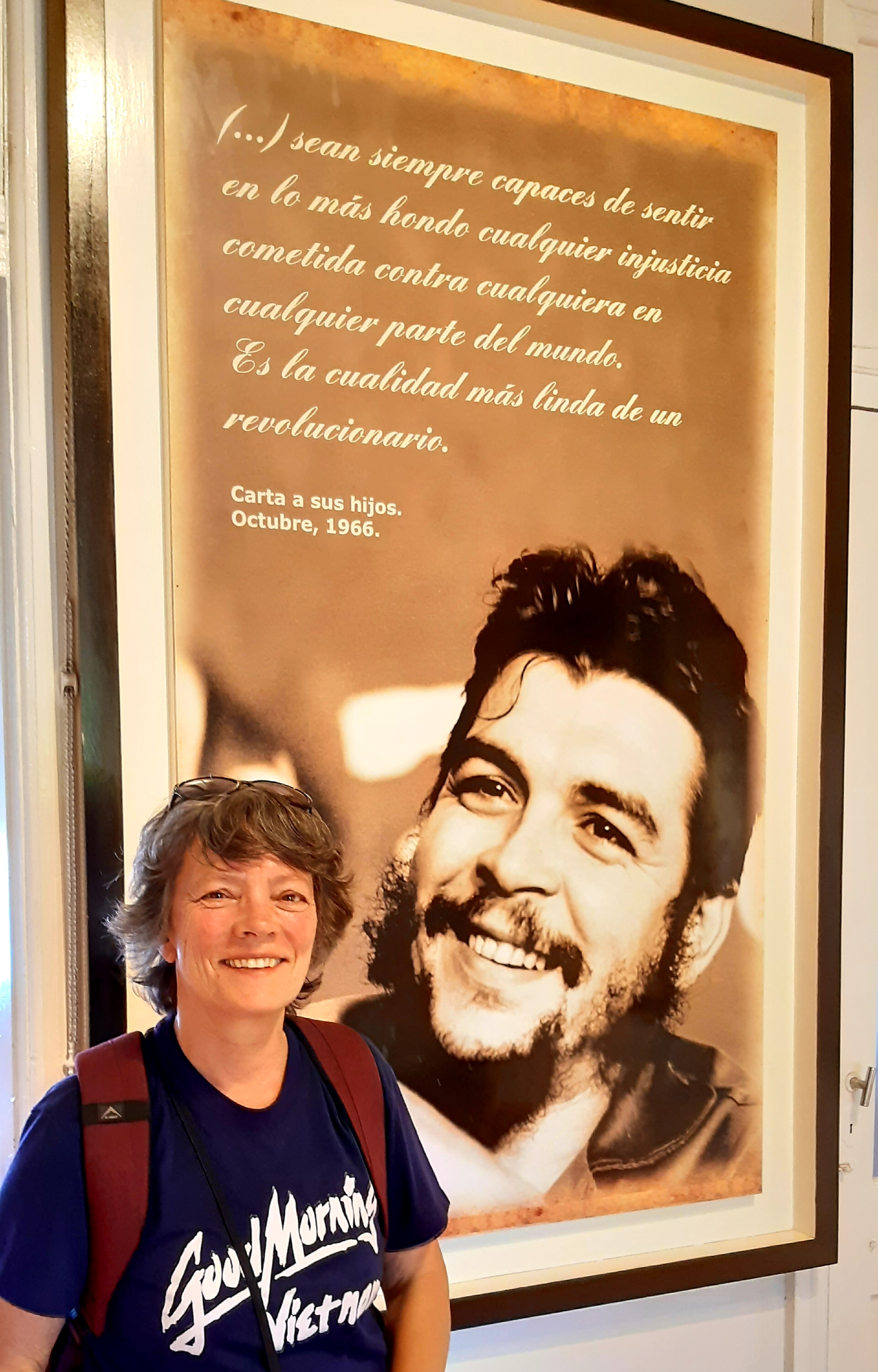

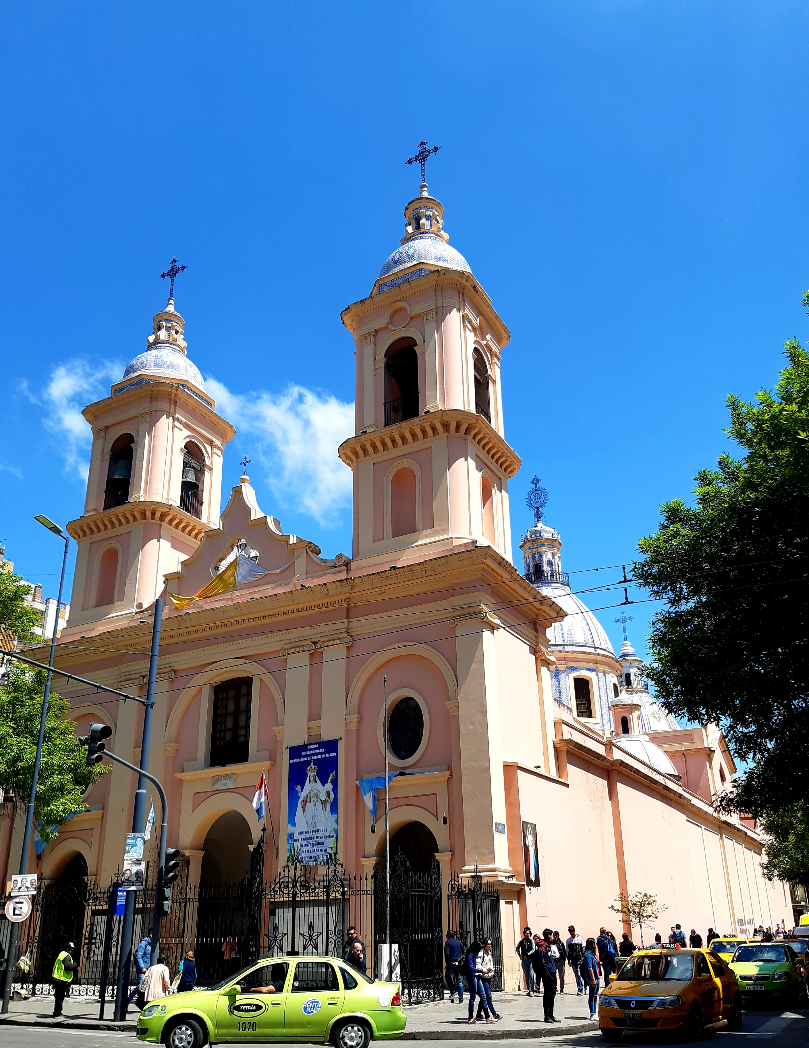
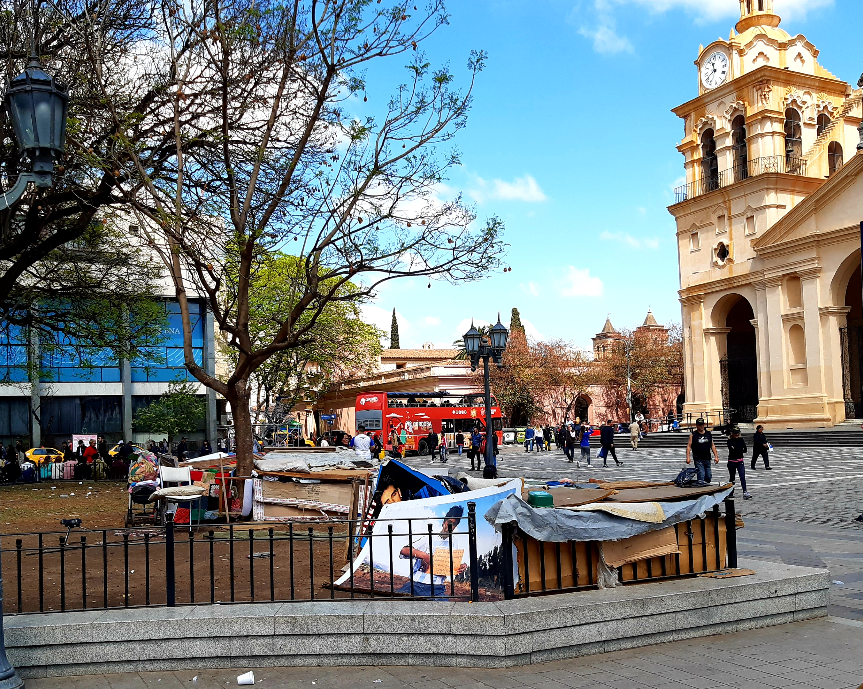
 The cathedral next to it was well worth a visit, as always.
 There is tranquil man-made lake where I had my sandwich, watching some dragonflies mating, one immediately afterwards being caught by a frantically hungry bird. Shocking, to say the least. I felt sorry for the other one, who was hovering around the death scene for a while, until it too was caught. Oh well, such is life in the animal kingdom.
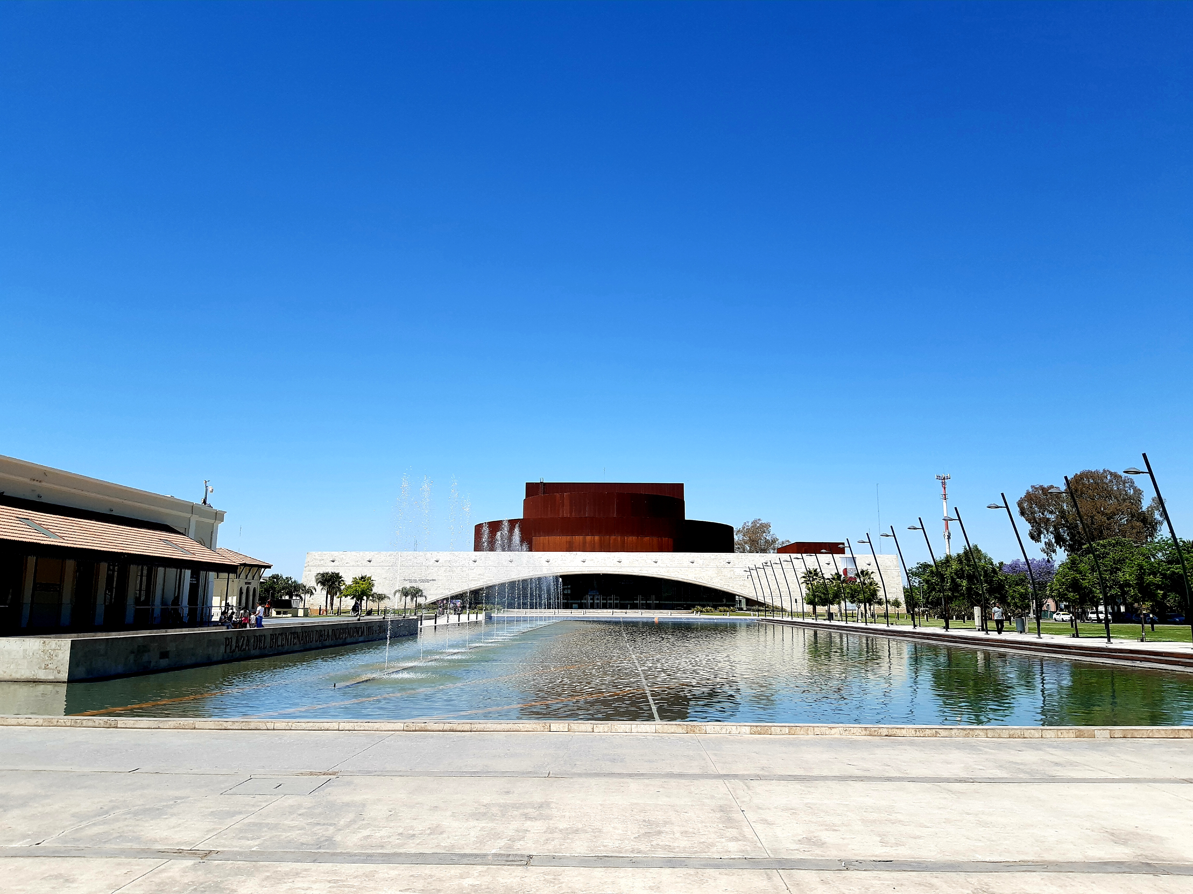
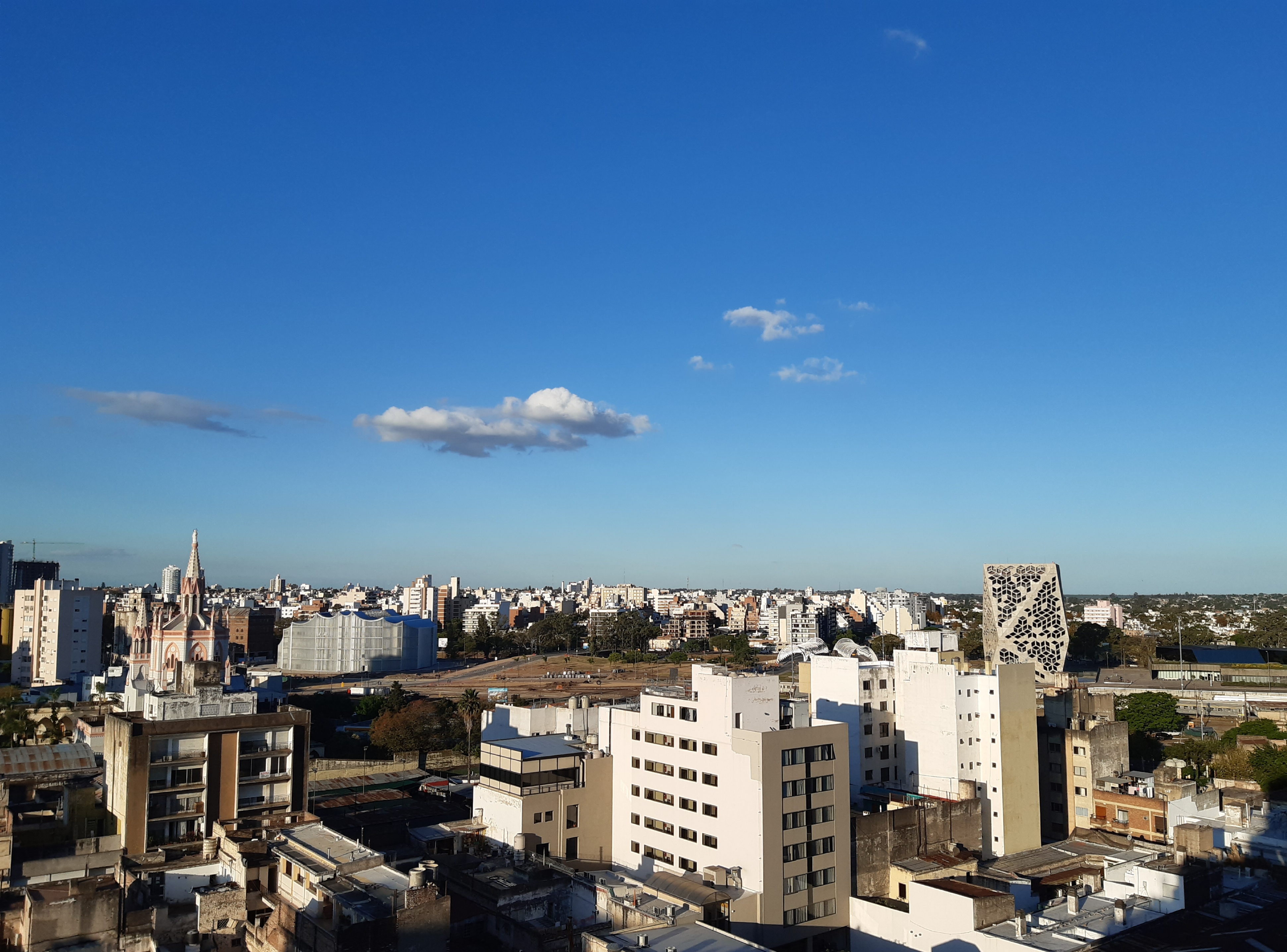 That strange big building on the right is part of a complex that was built for their bicentennial celebrations of in dependence on 9th July 2016. I’ve thought about that, the fact that Argentina has been independent for over 200 years, and South Africa only for 58 years – there’s hope for us!
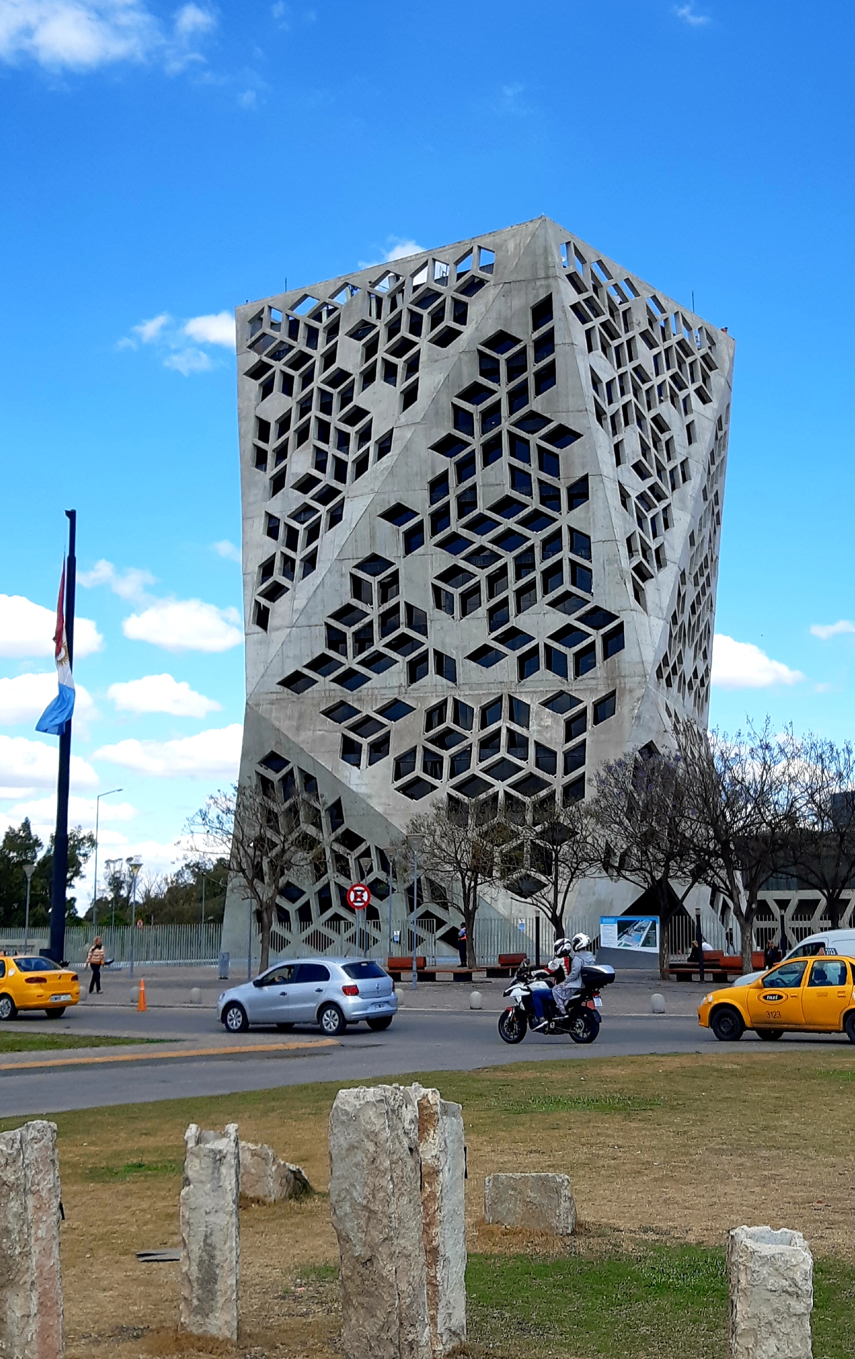
 In 1810 Buenos Aires was the capital of the Viceroyalty of the Rio de la Plata, which included Argentina, Bolivia, Paraquay, Uruqauy and parts of Brazil. The war for independence was started with a week long revolution in Buenos Aires from 18 – 25th May 1810, on which day viceroy de Cisneros was removed from power and a local government, called the Primera Junta was estsblished. The problem was it had only representatives from Buenos Aires and when other cities of the Viceroyalty were invited to join, war broke out as they were opposed to what had happened in Buenos Aires. The War of Independence was from 1810 to 1818, with a formal Declaration of Independence being issued at the Congress of Tucumán on 9th July 2016. The Argentinian Civil Wars between the Federals (who had declared independence) and the Unitarians (who opposed it) lasted from 1814 to 1880, when peace was finally reached.
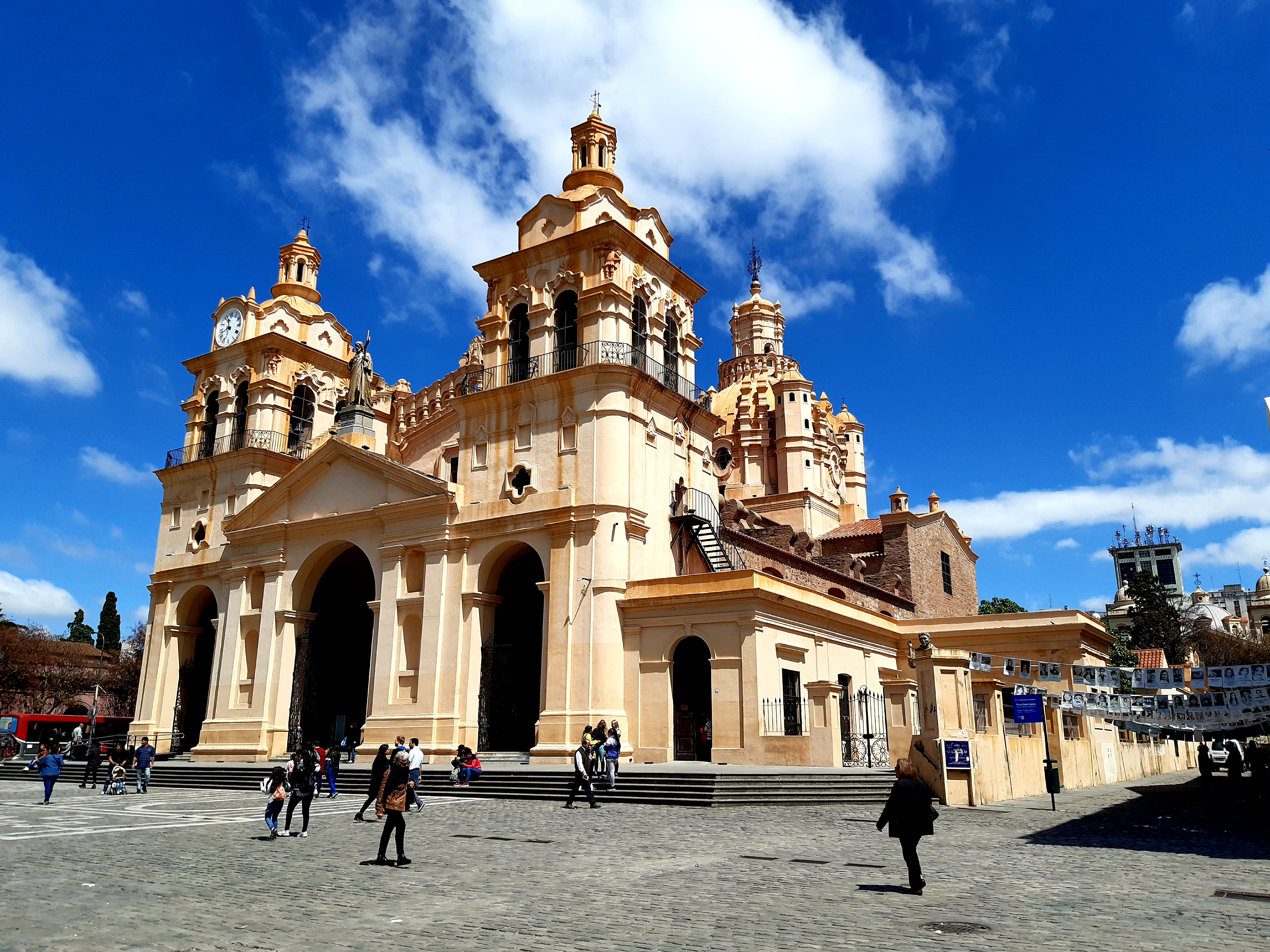
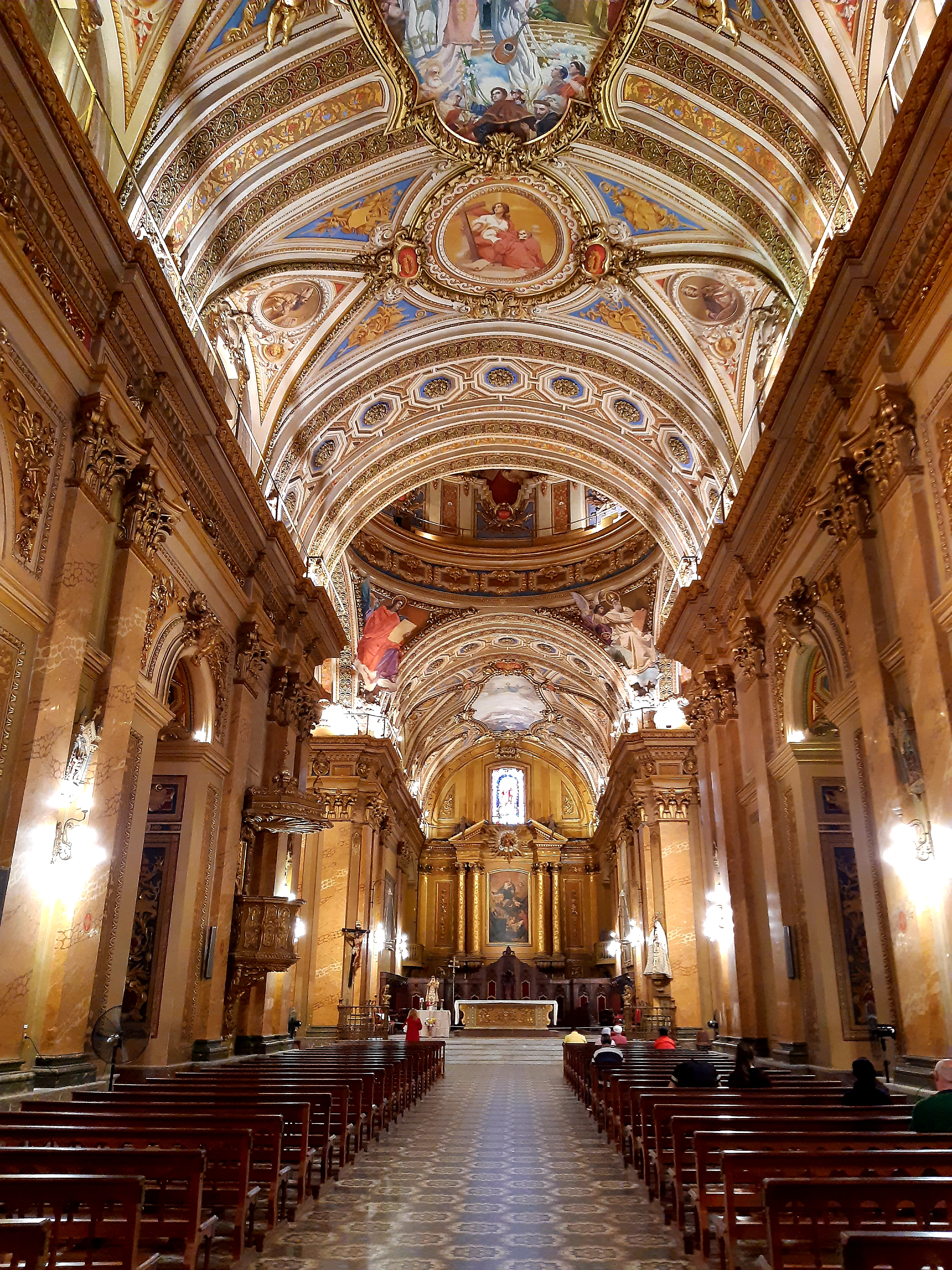
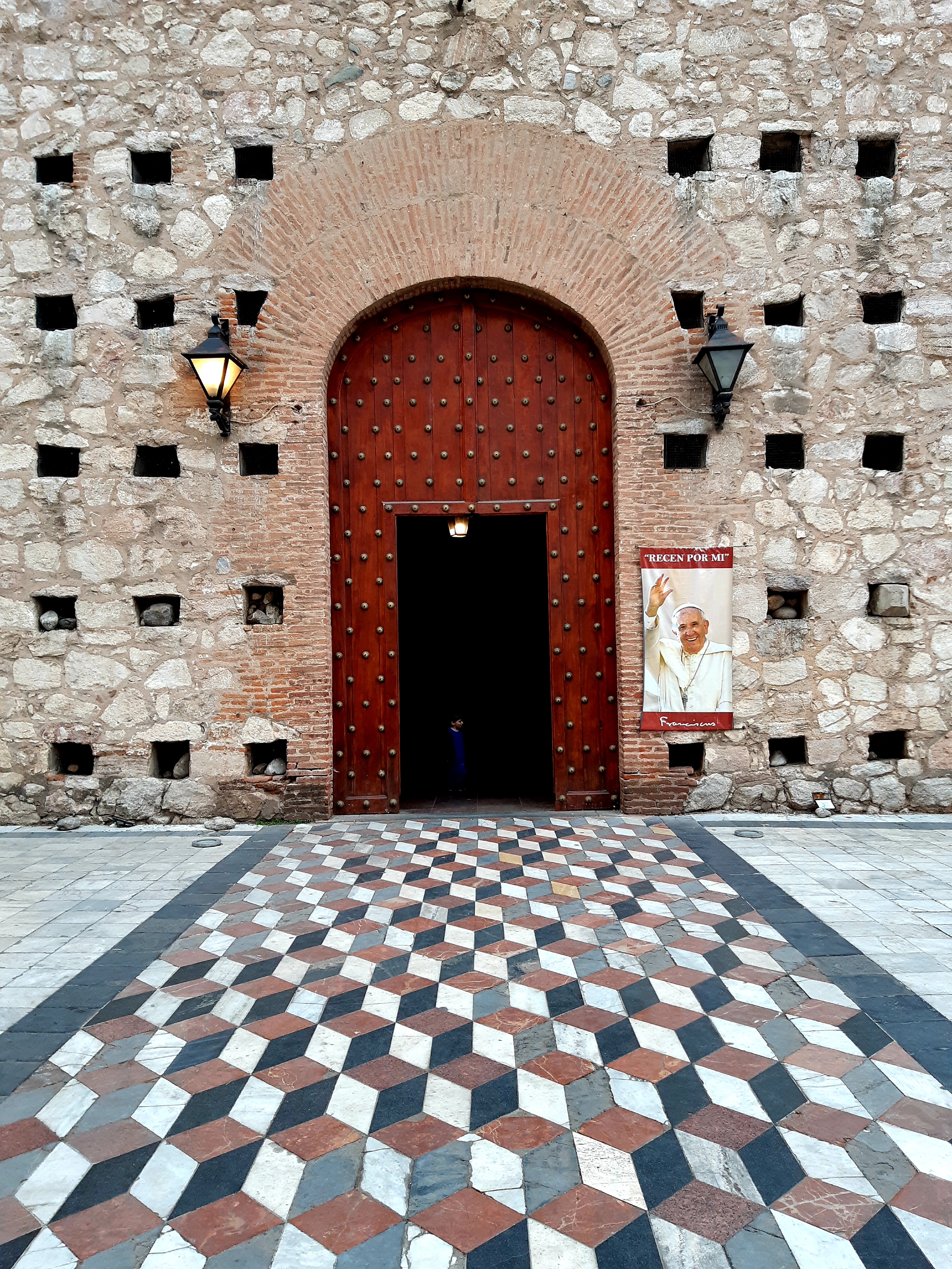
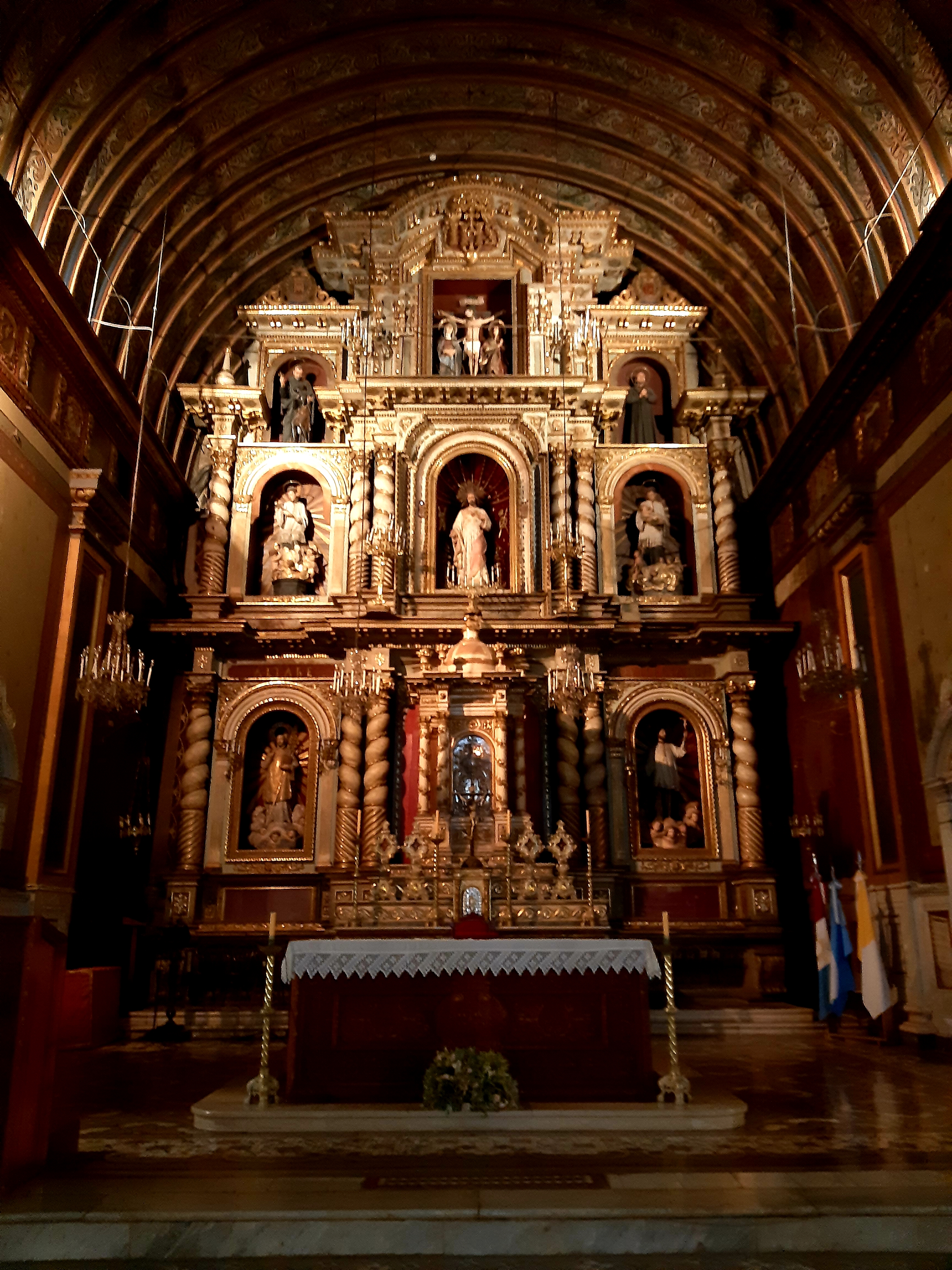
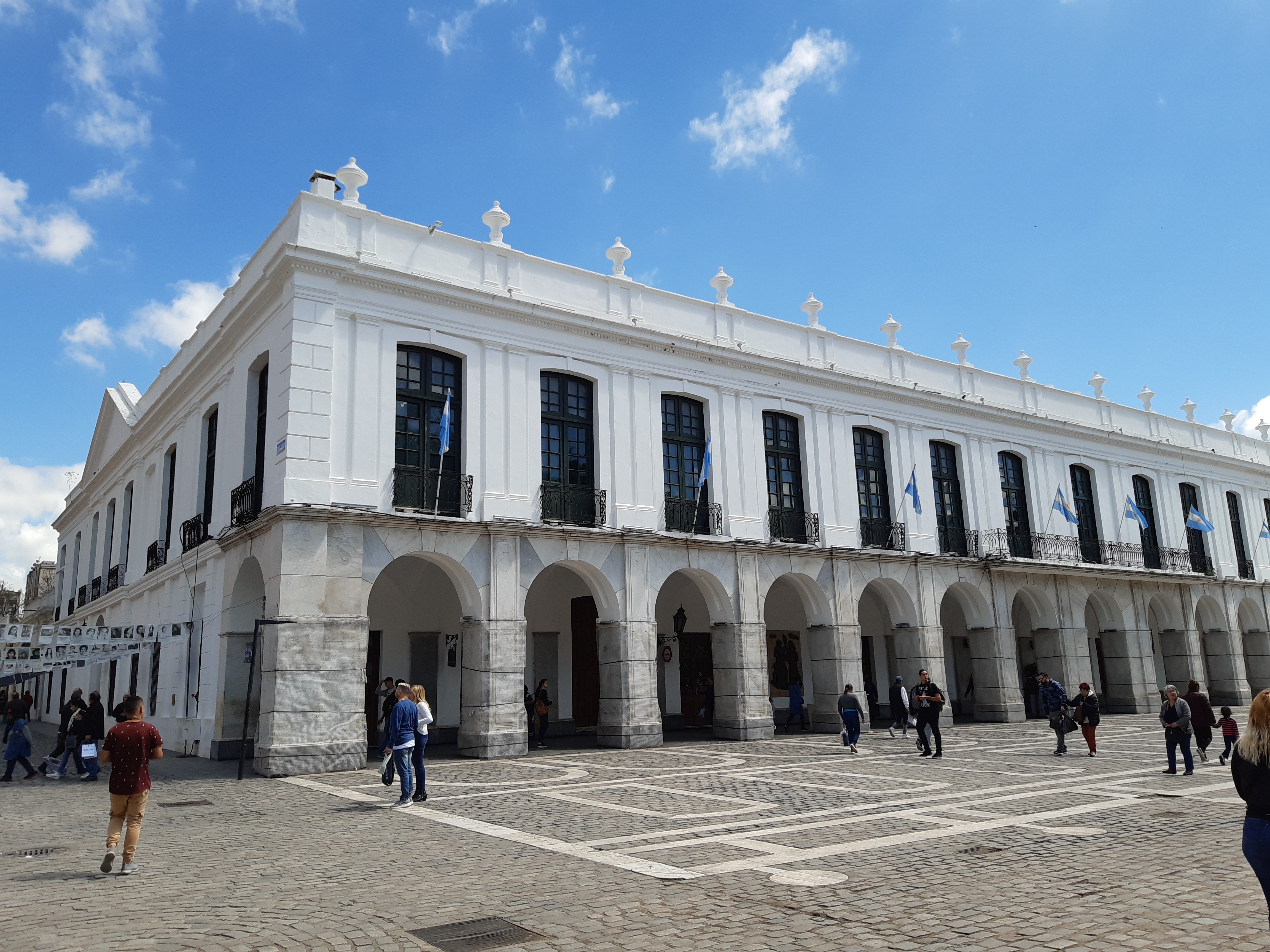
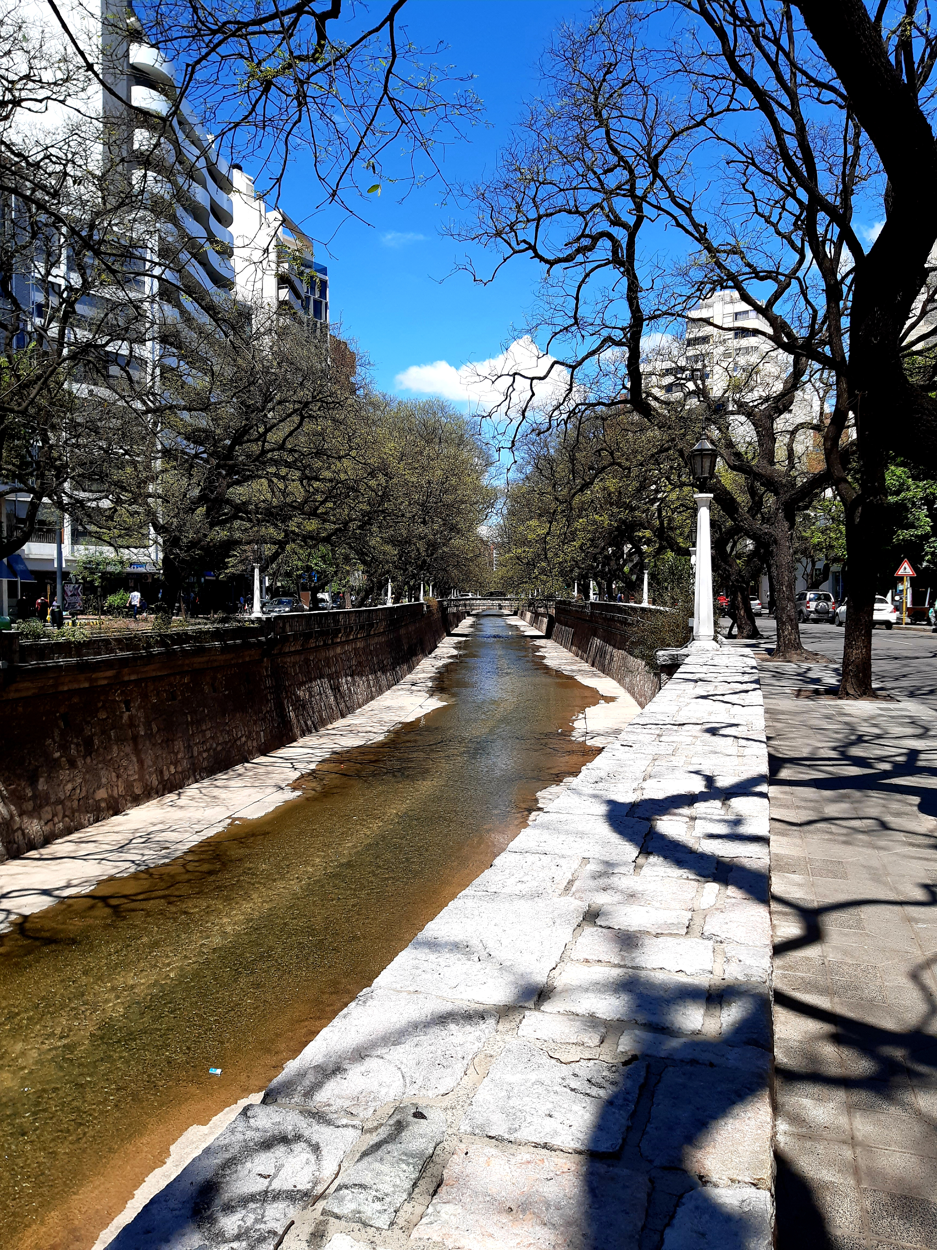
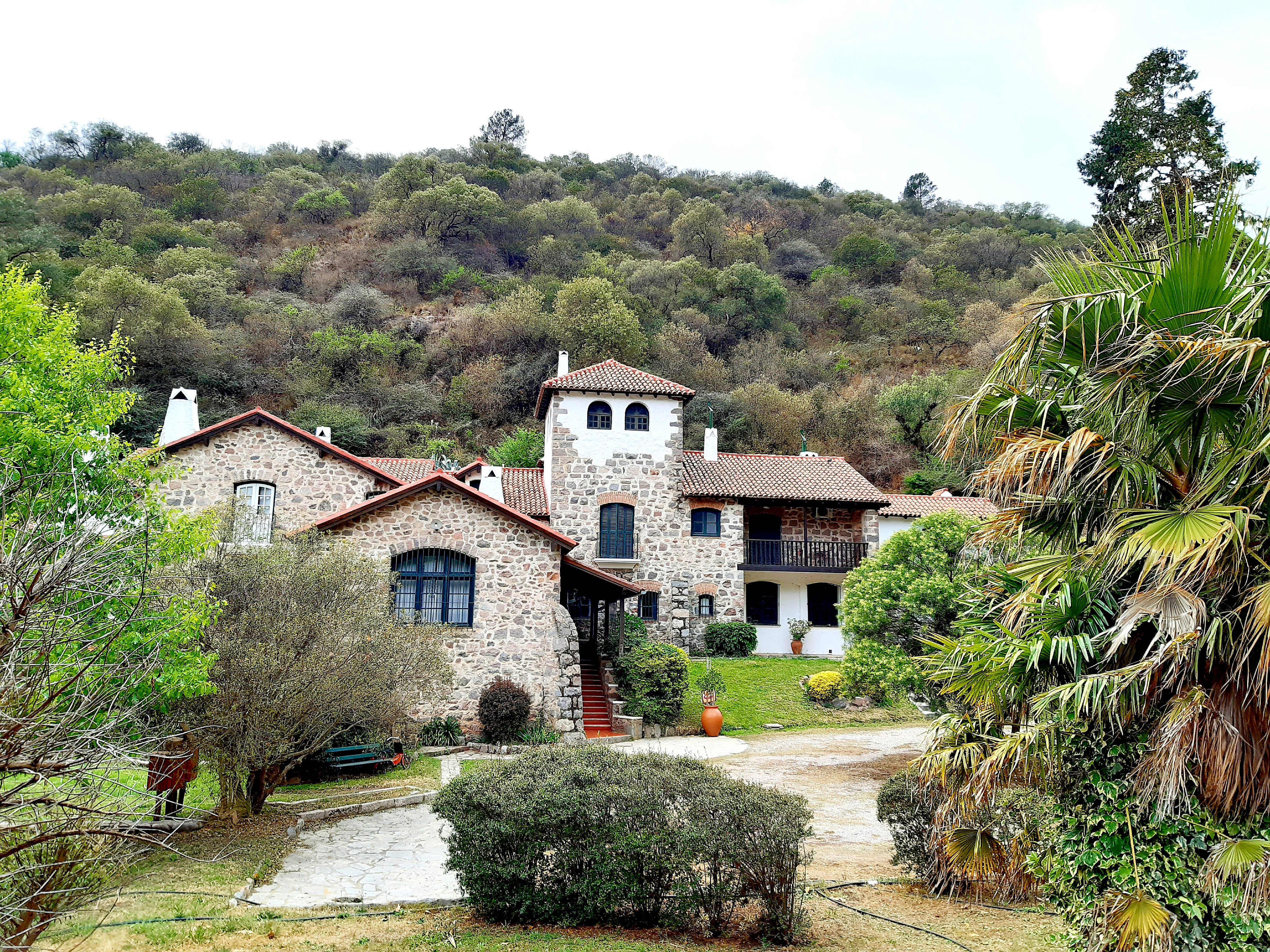
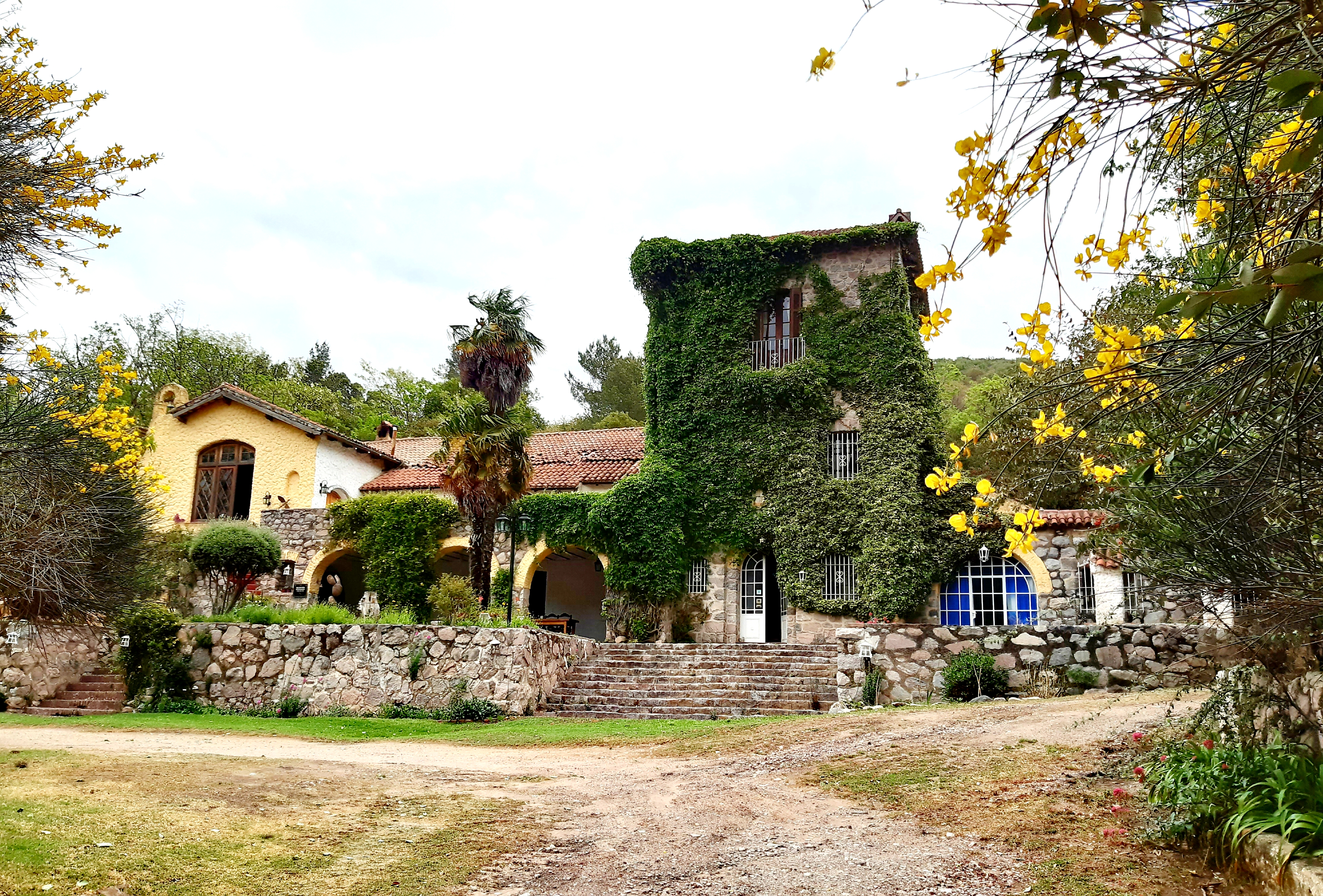
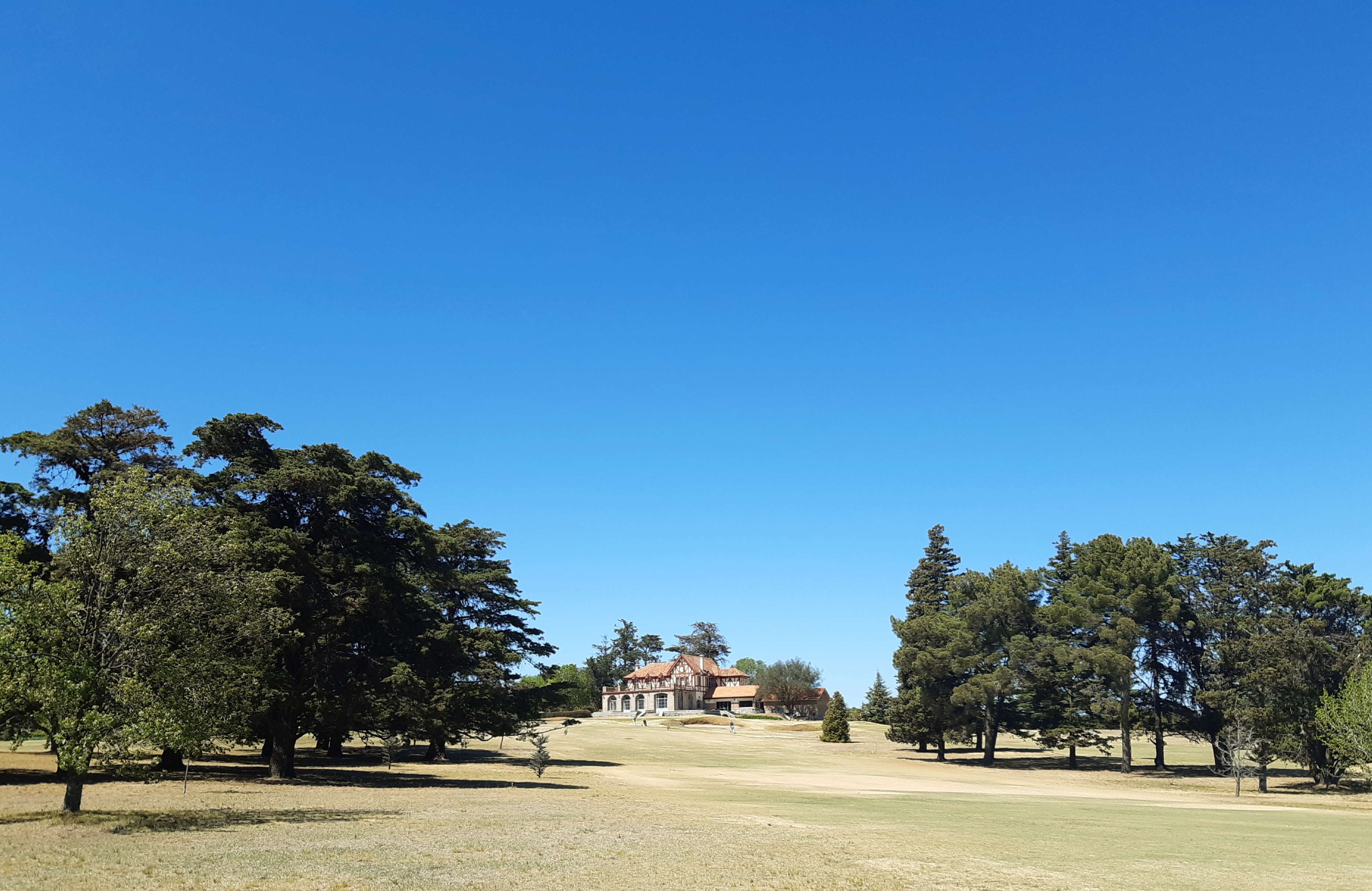
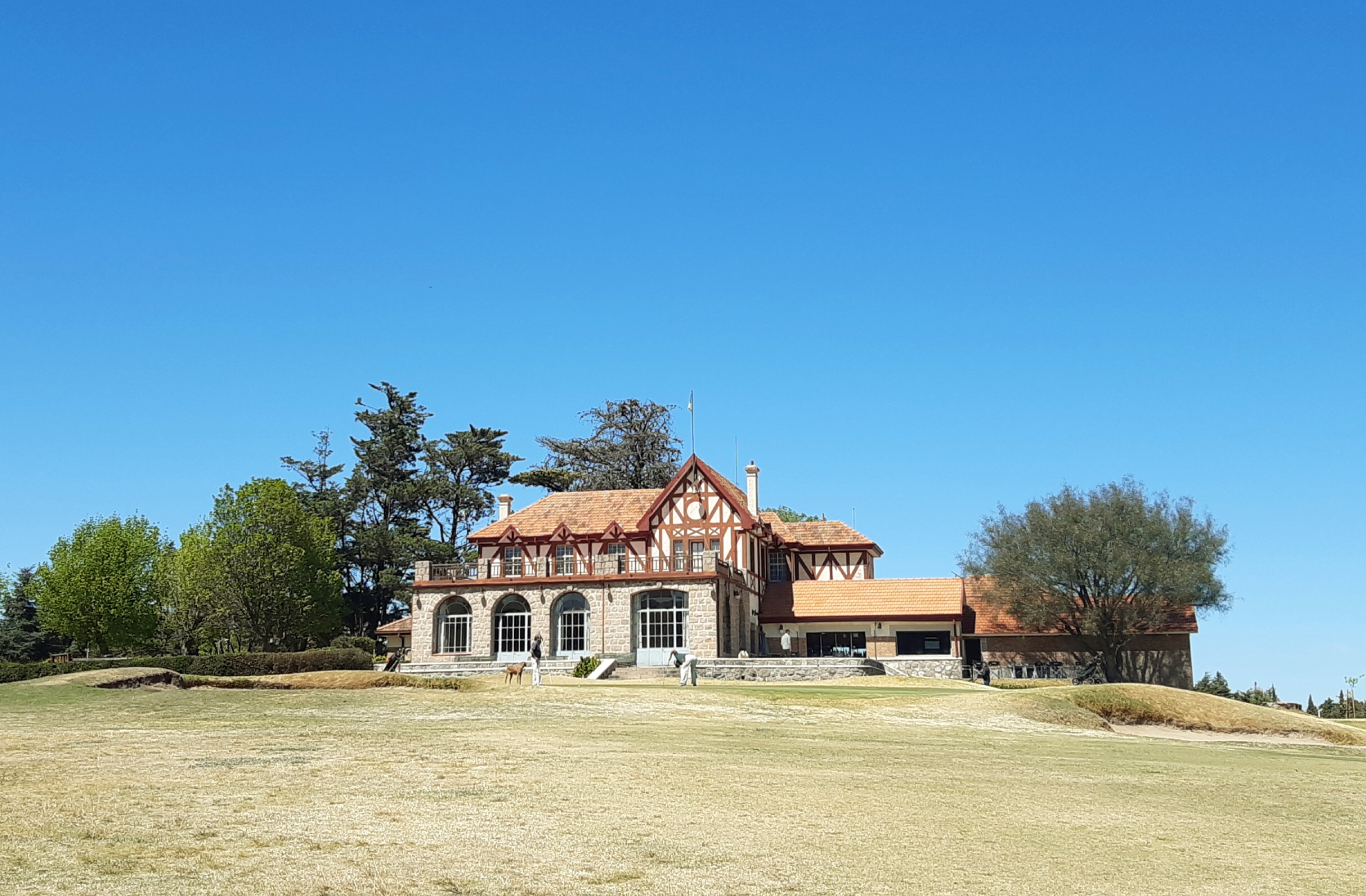
 In 1583 land was given to the Jesuits in Córdoba and the complex that was developed is now called the Museo Histórico de la Universidad Nacional de Córdoba. From here they oversaw all their conversion activities across central and northwestern Argentina, as well as the farming they had started to help fund their projects. One main project was that of the National University of Córdoba, one of Latin America’s oldest universities. The Iglesia de la Compañia, which forms part of the museum complex, was built in 1640 and is the oldest surviving Jesuit temple. This complex, as well as the estancia (farm) built in Alta Gracia, a town 25km from Córdoba, was declared a World Heritage Site in 2000.
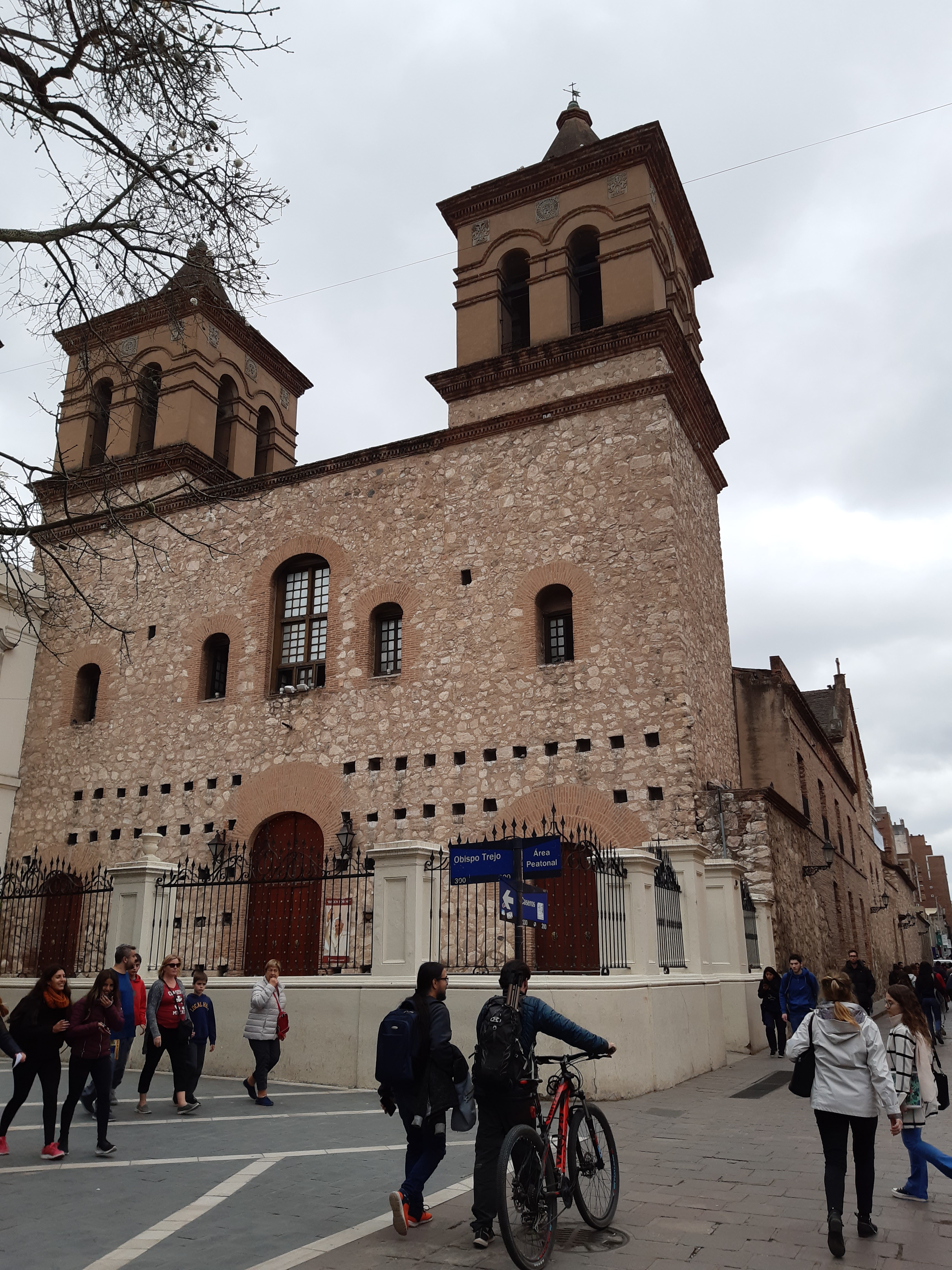
 The hall at the university that was used for presentation of dissertations is both impressive and intimidating. The student stood on a raised podium in the middle of the hall, with his godfather in a carved high chair below him:
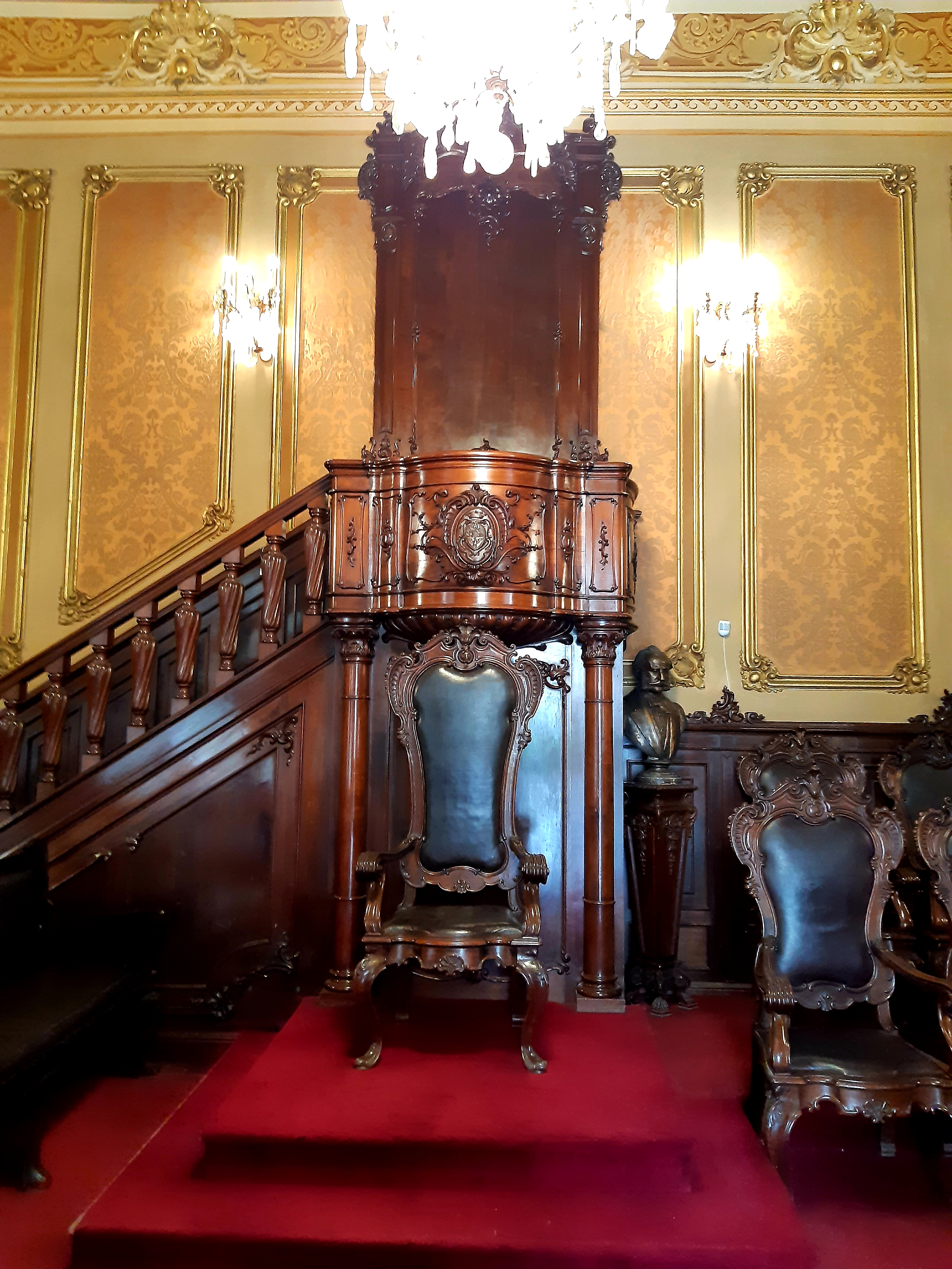 The family sat to the left:
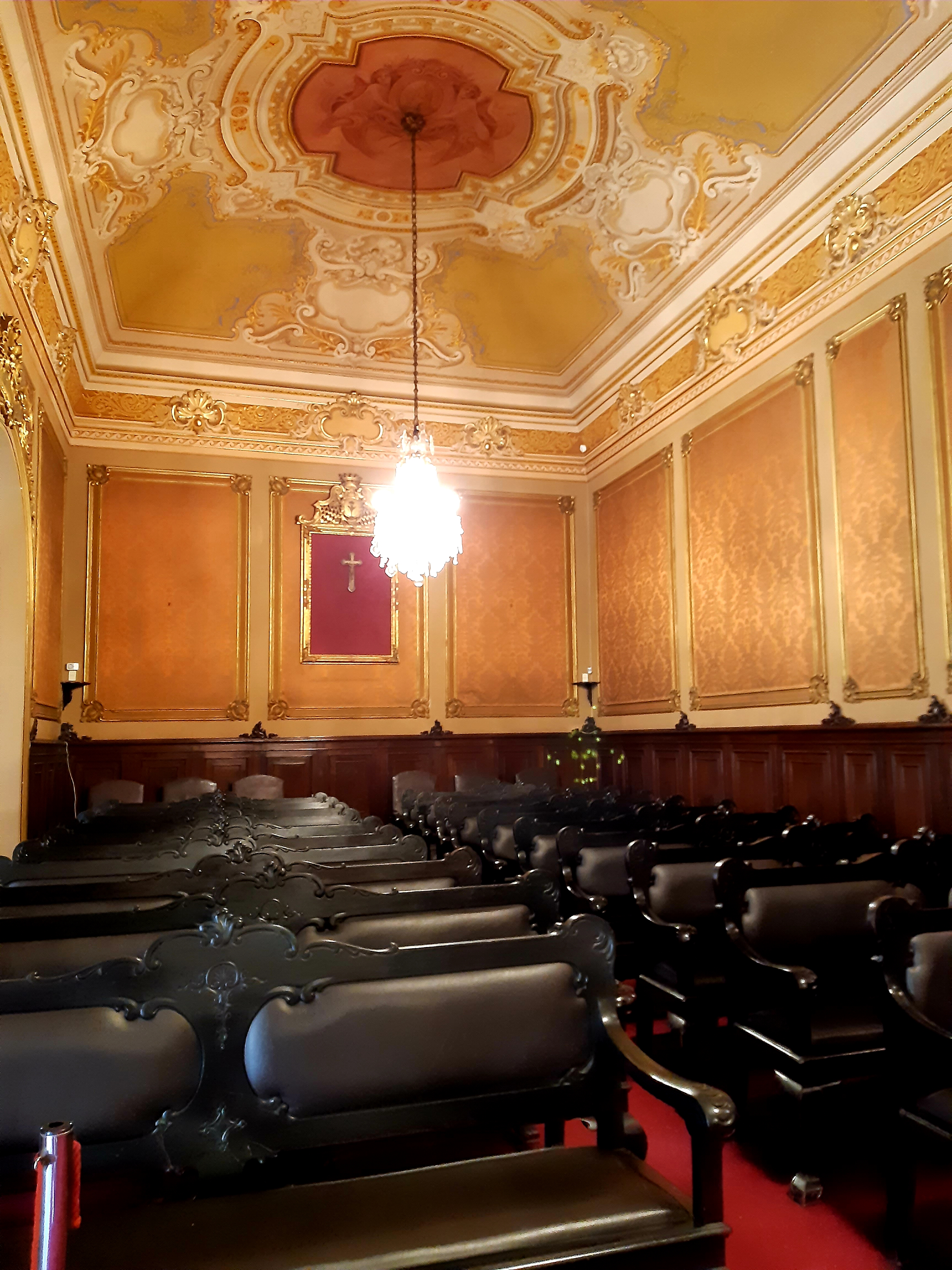 And the professors sat to the right:
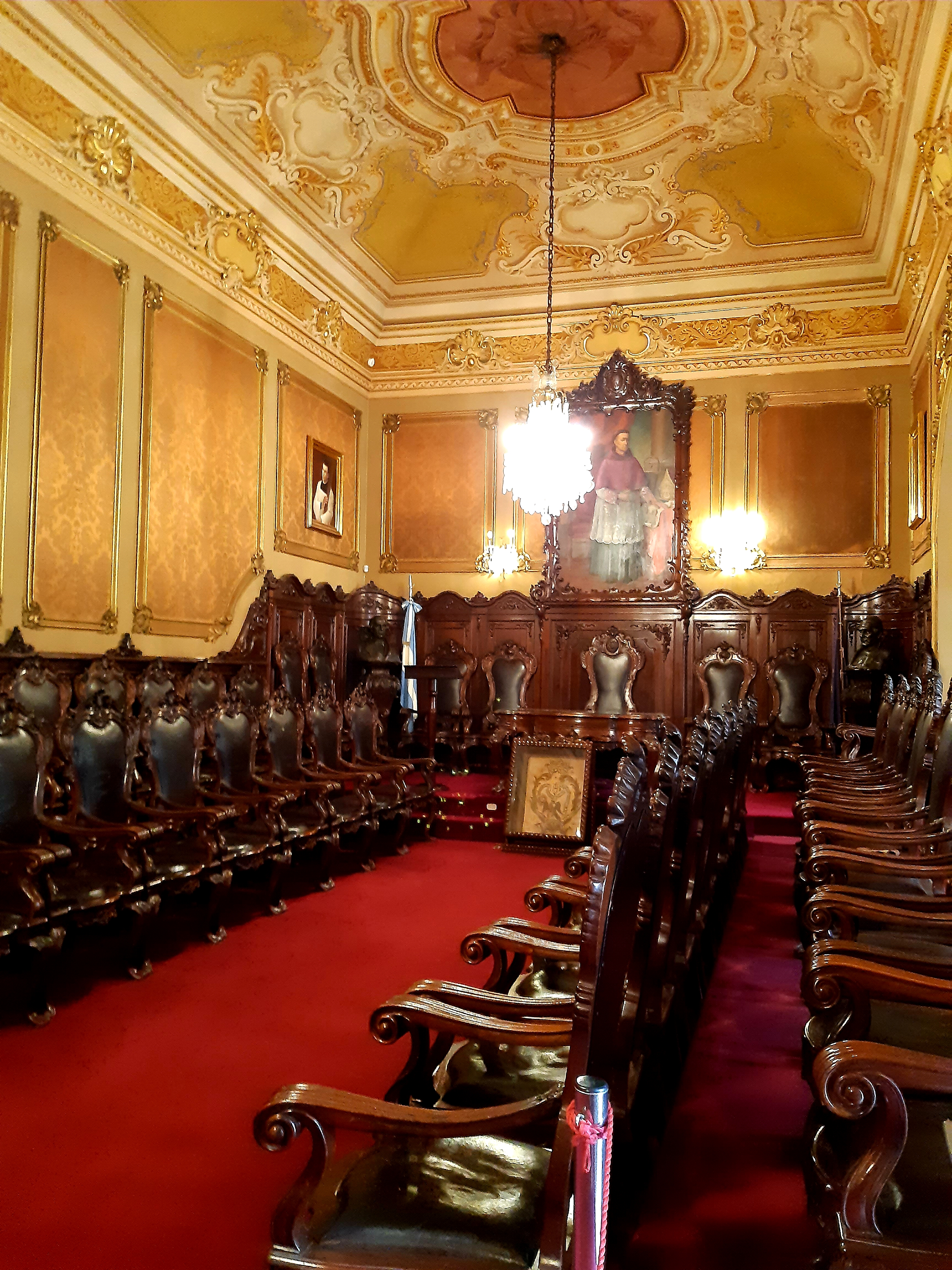 One of the courtyards of the university:
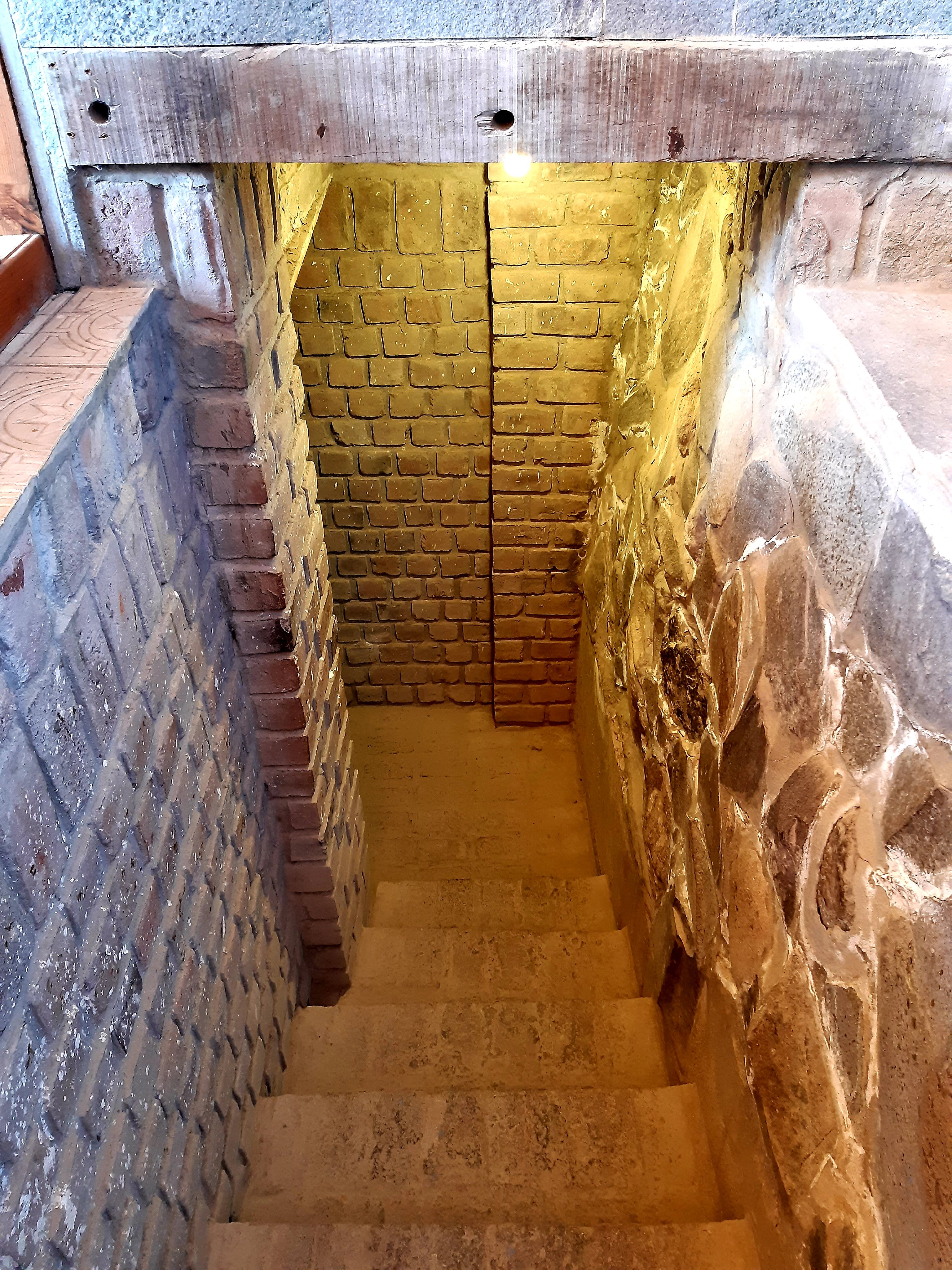
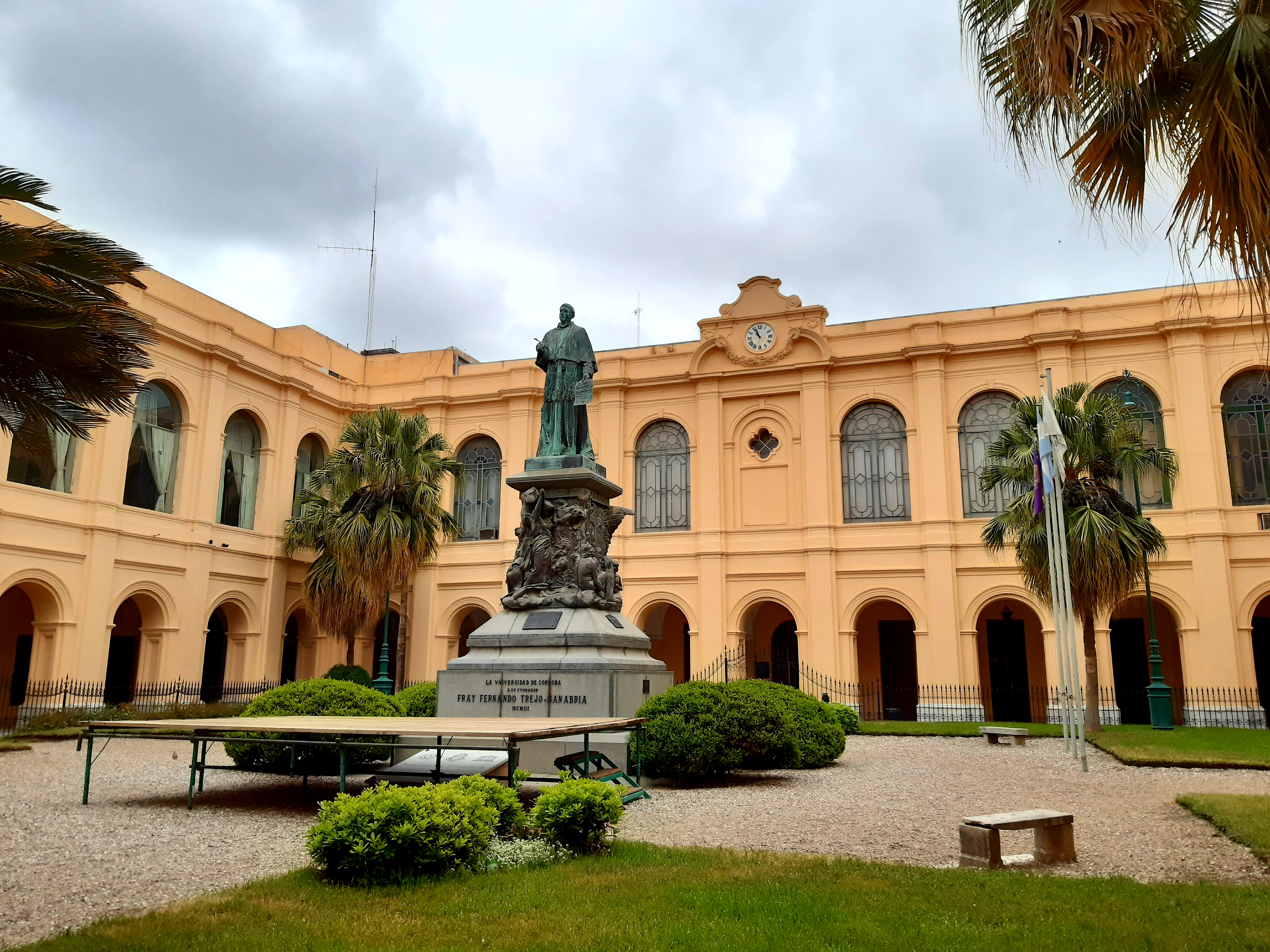 In 1989 a Jesuit crypt was unearthed and partially restored. This underground site was a novitiate where new Jesuits were trained, until they were expelled from the country in 1773.
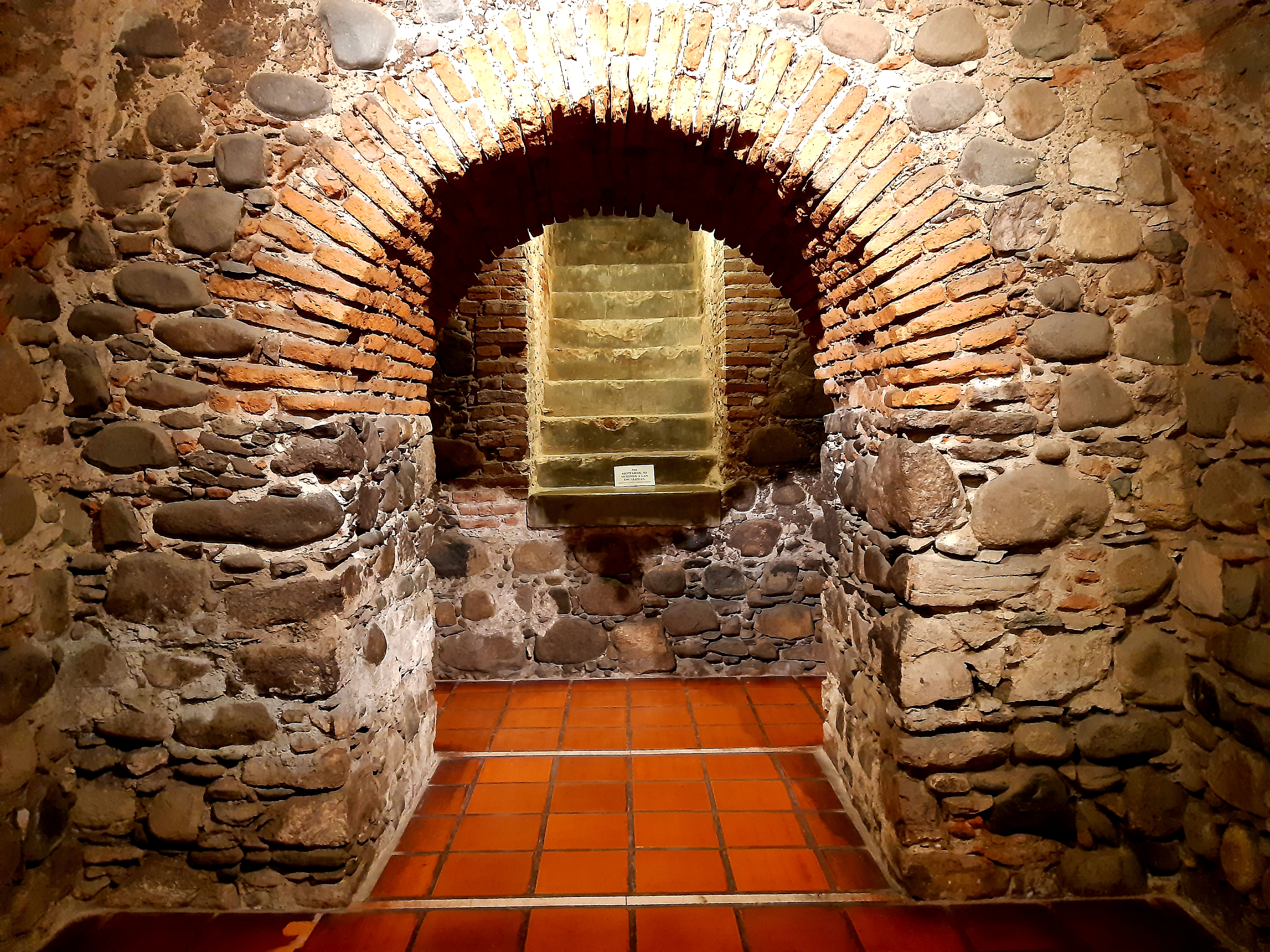
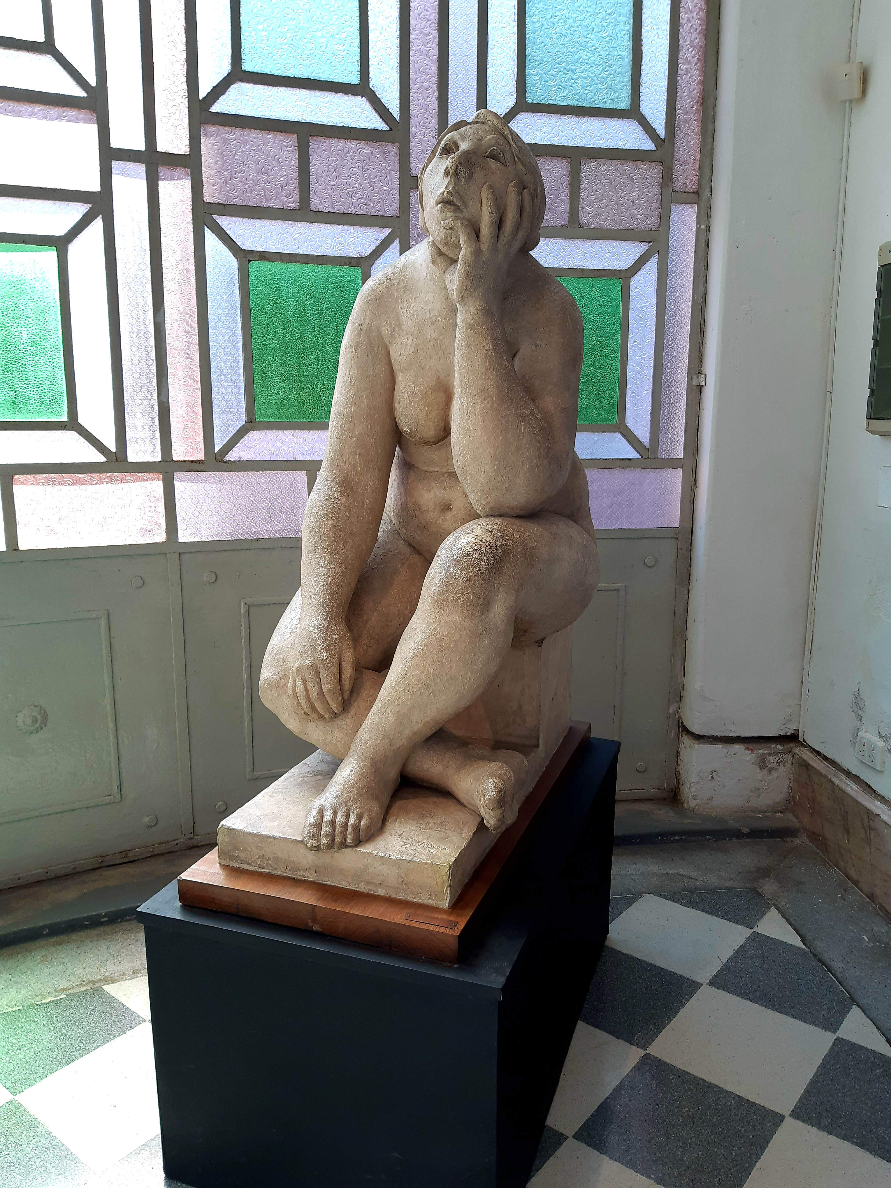
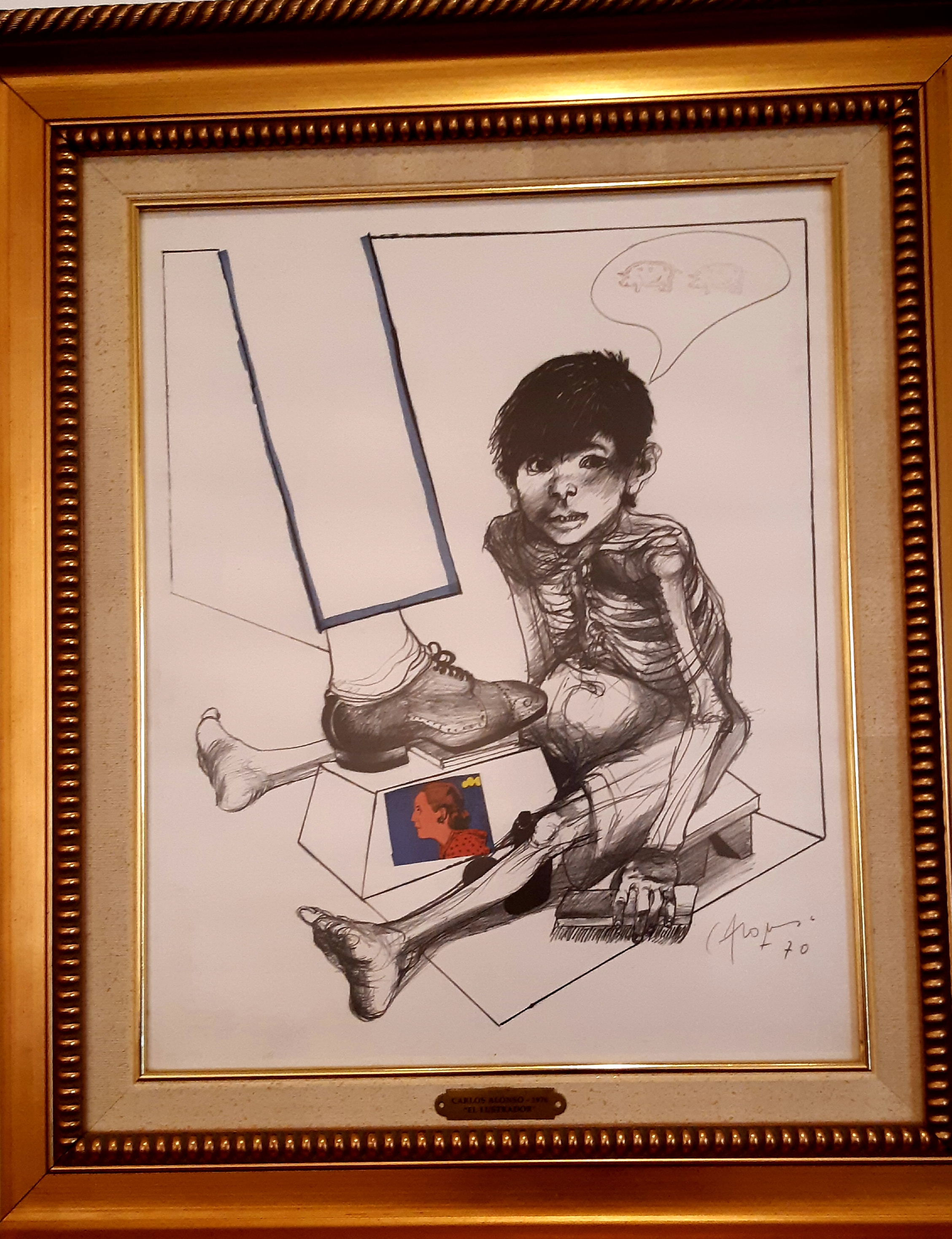
 I visited the Genaro Pérez museum, an art museum housed in an old mansion, with old and new works, most interesting. Some well-known Argentinian artists’ works are exhibited, such as E
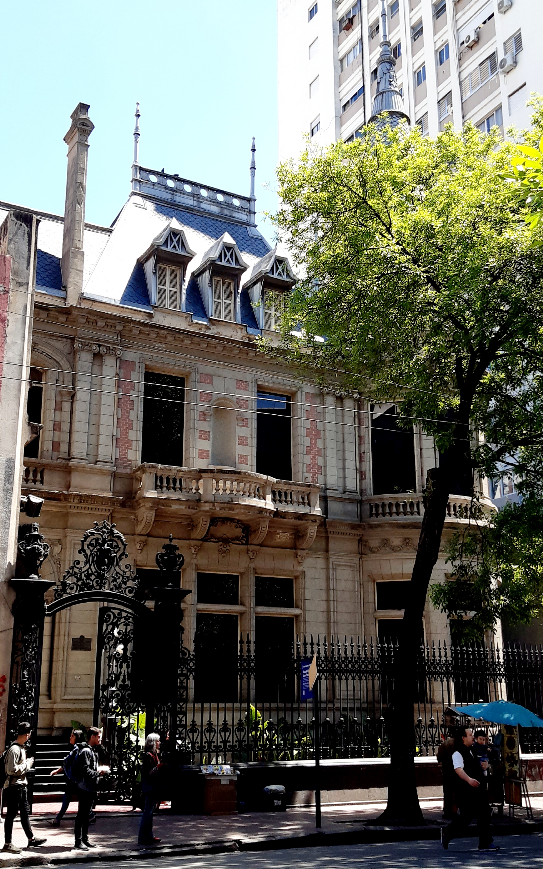


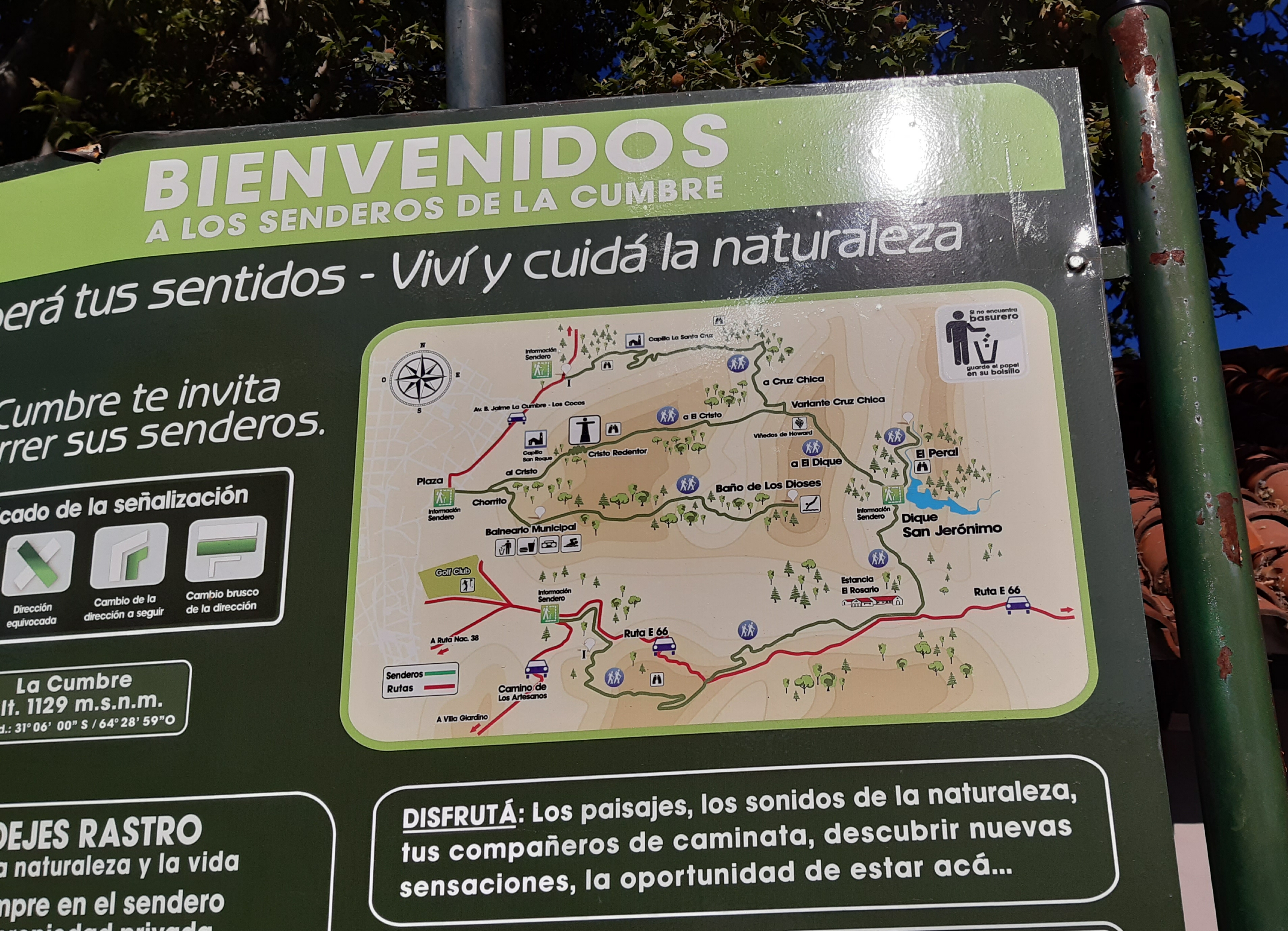
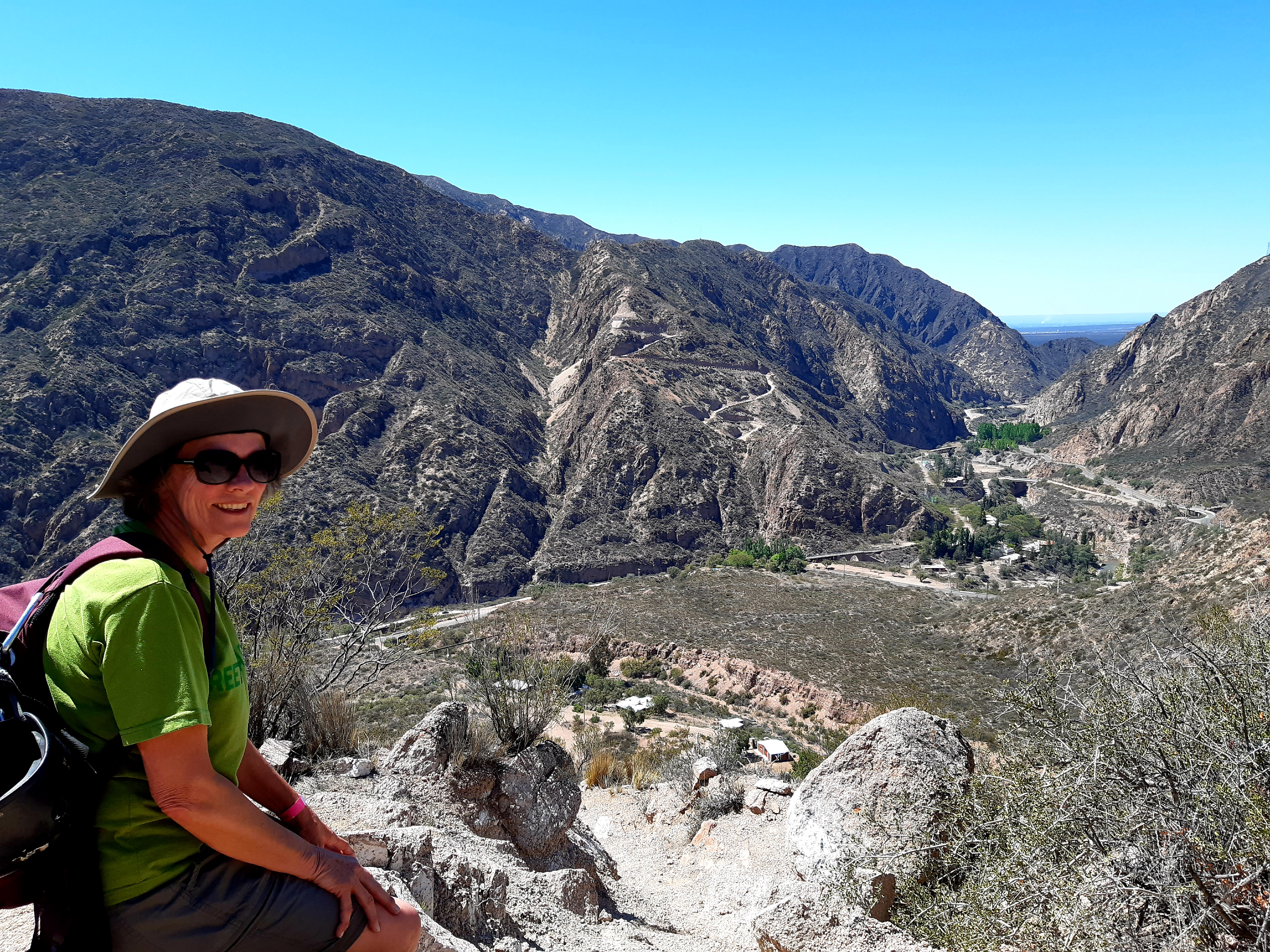
 But good fortune was shining her light on me, as it just so happened that there was a shortcut back from exactly that point. 3km later I was at the foot of the mountains, and realised that my way was UP, 3km of mountain pass. I walked past an adventure farm, a cherry orchard
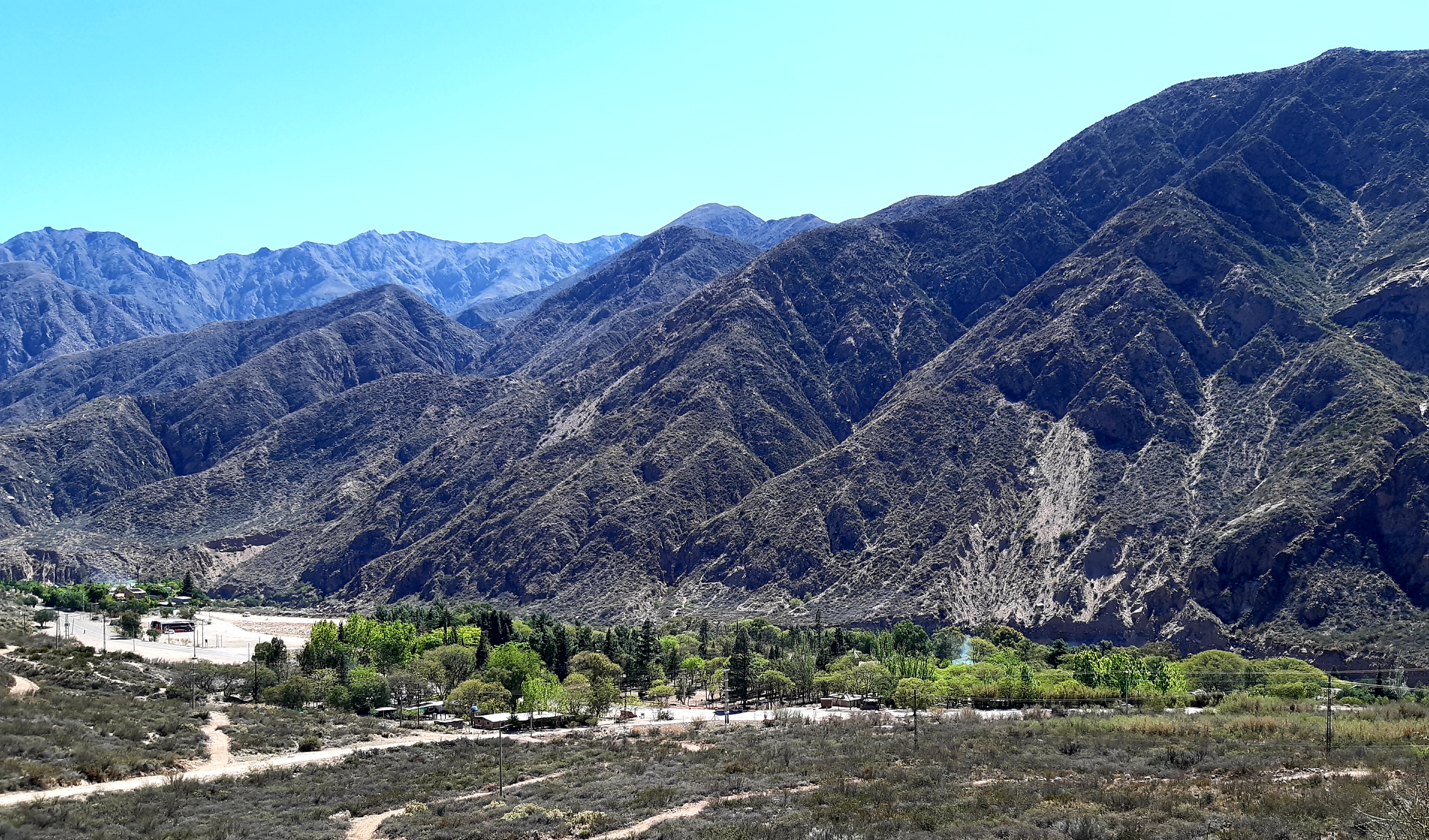
 and berry farm, and I was just about to give up, when the welcome sight of water came into view. Dique, by the way, means dam, not lake…
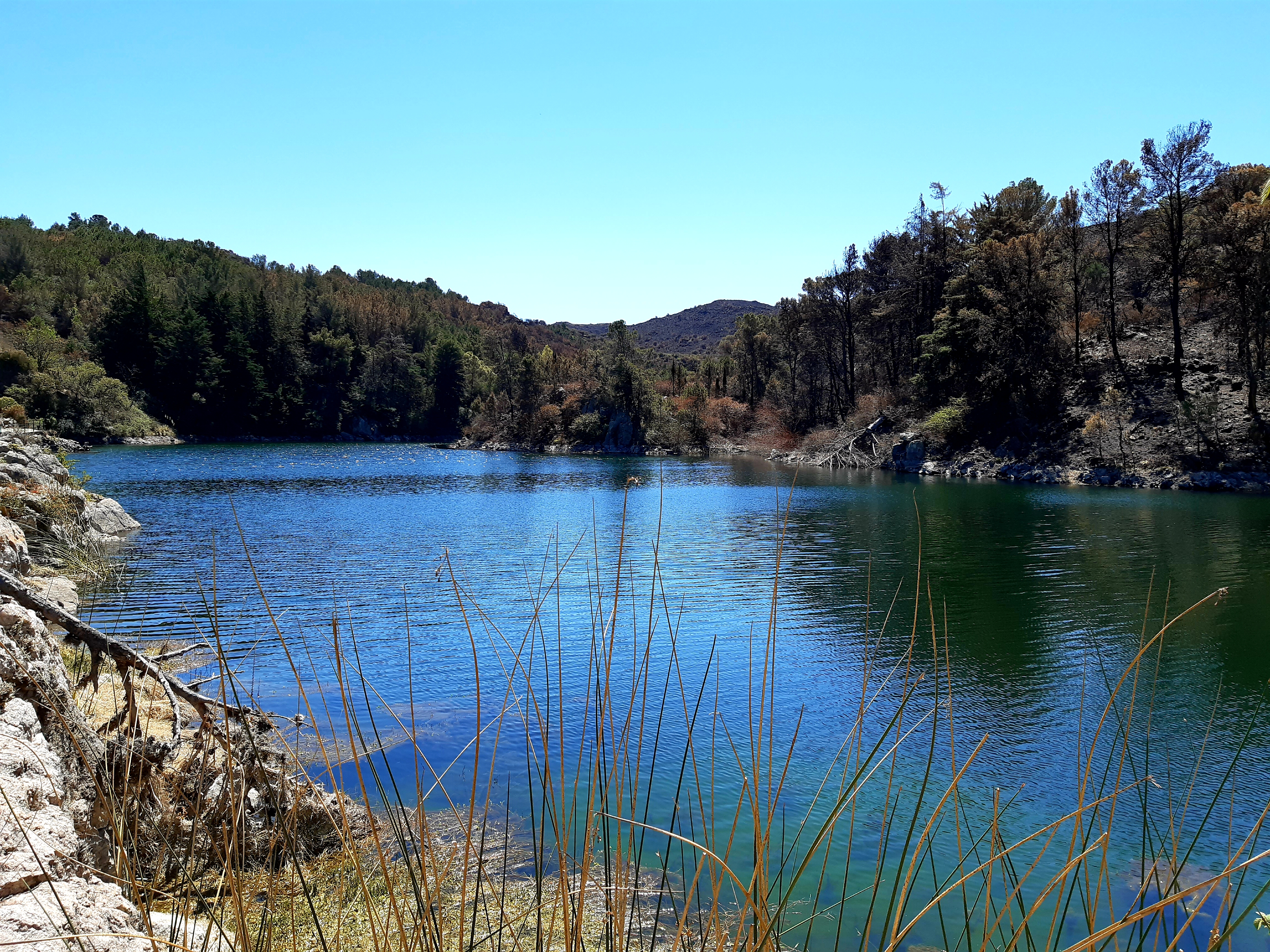
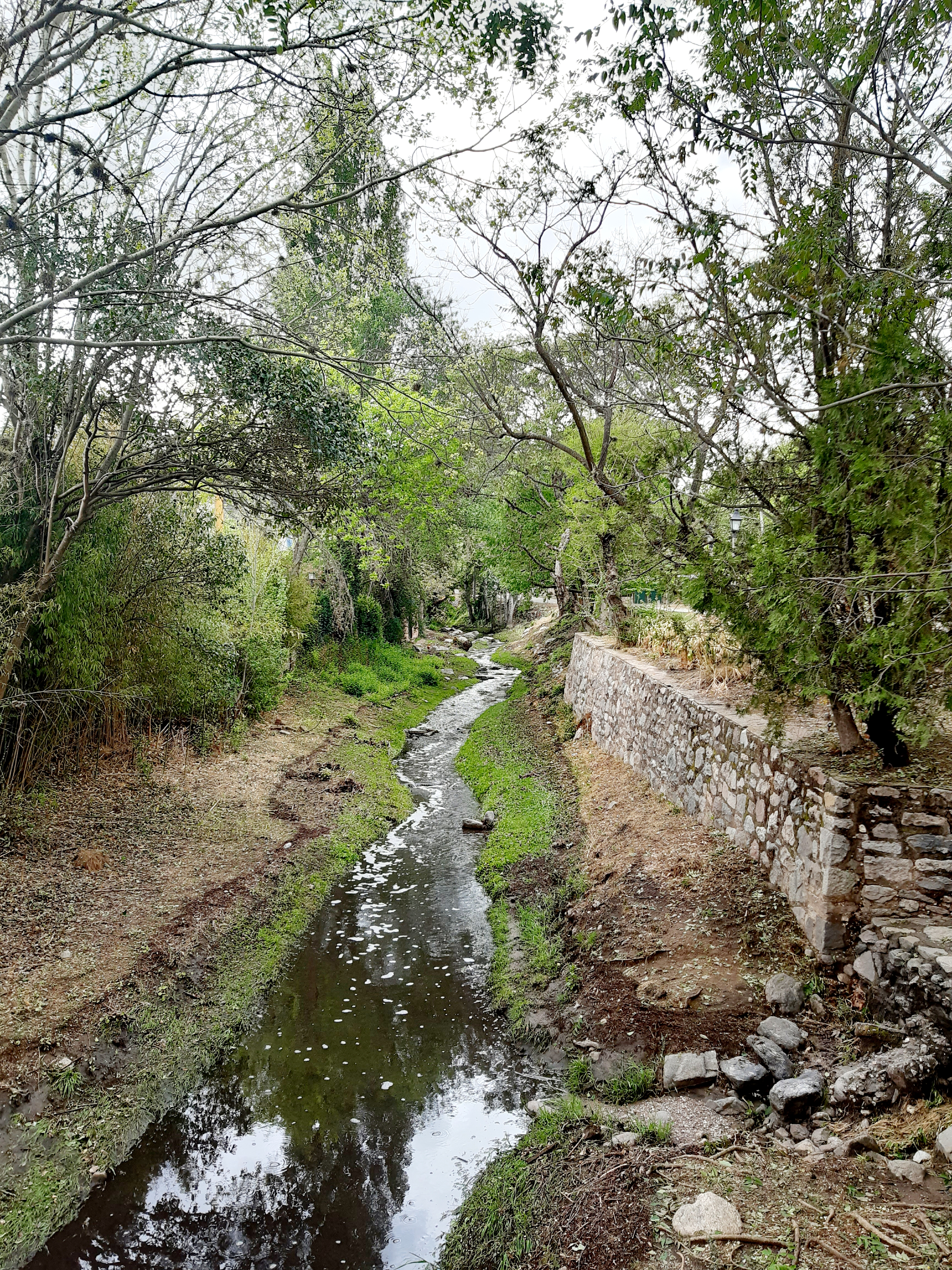
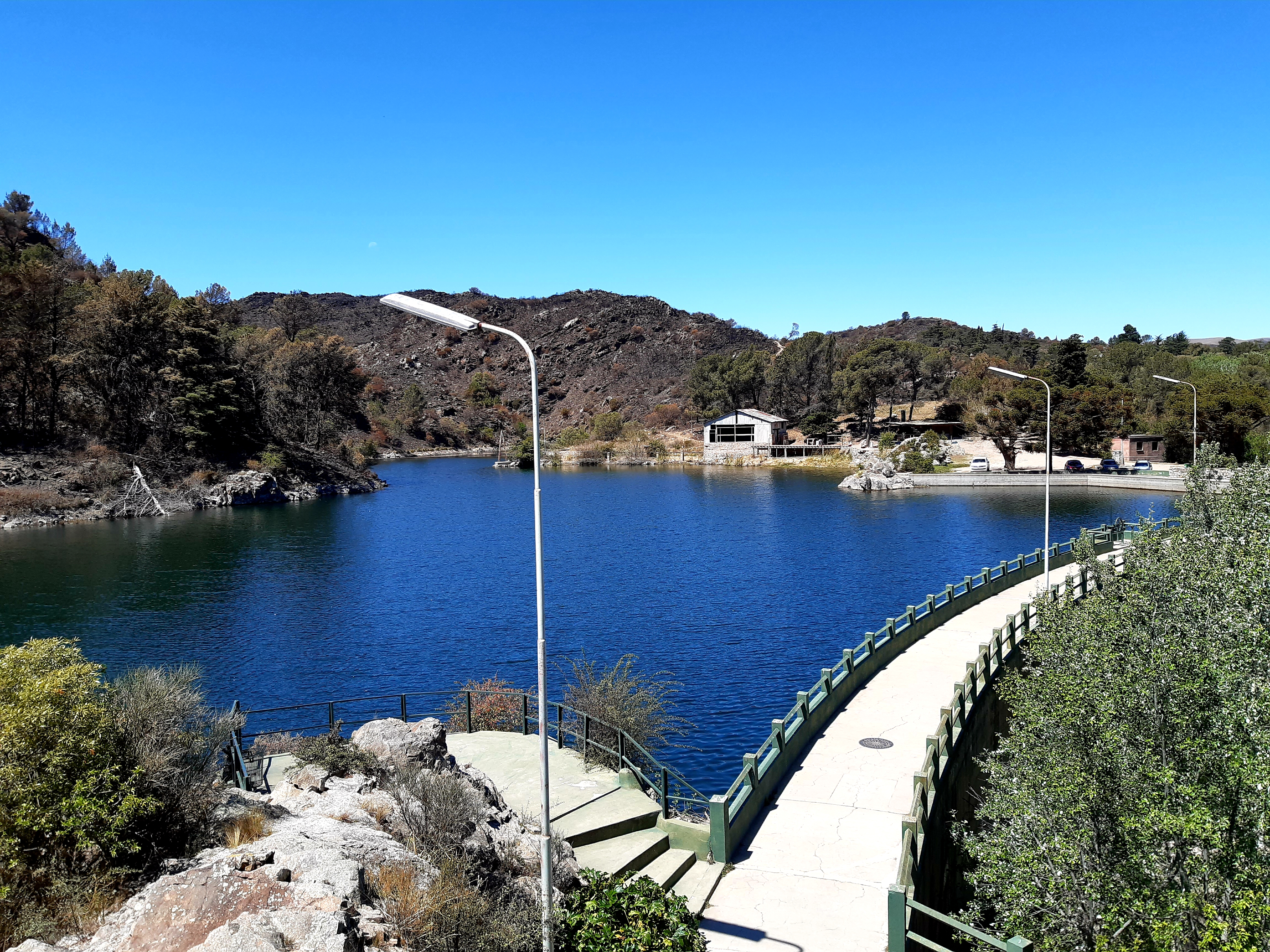 I walked a little way up the river that feeds into the dam, made me think of Jonkershoek, the babbling sound of water running over rocks and stones.
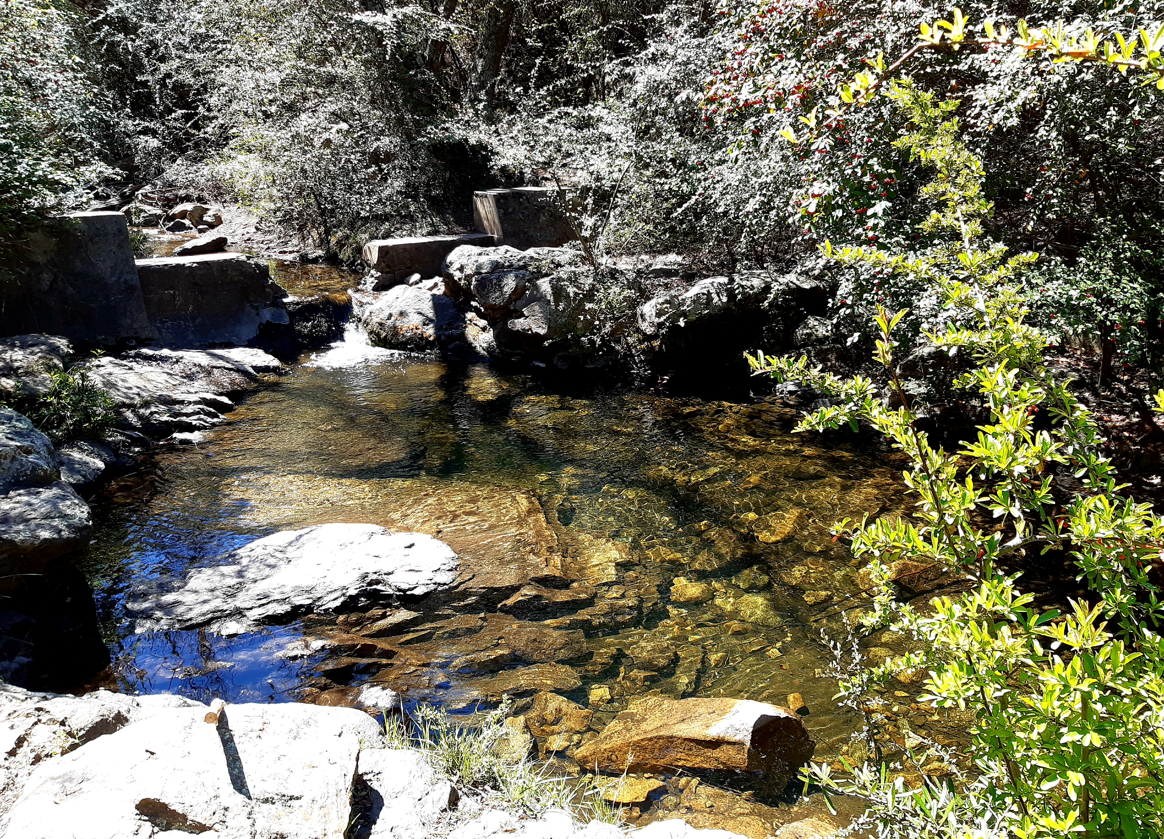 I had packed some rolls and fruit, and after a well-deserved lunch I headed home along a track that was clearly marked on the municipal map as well as on MAPS.ME. I should have realised something was wrong when I came to a place where a bridge used to be, but no longer was:
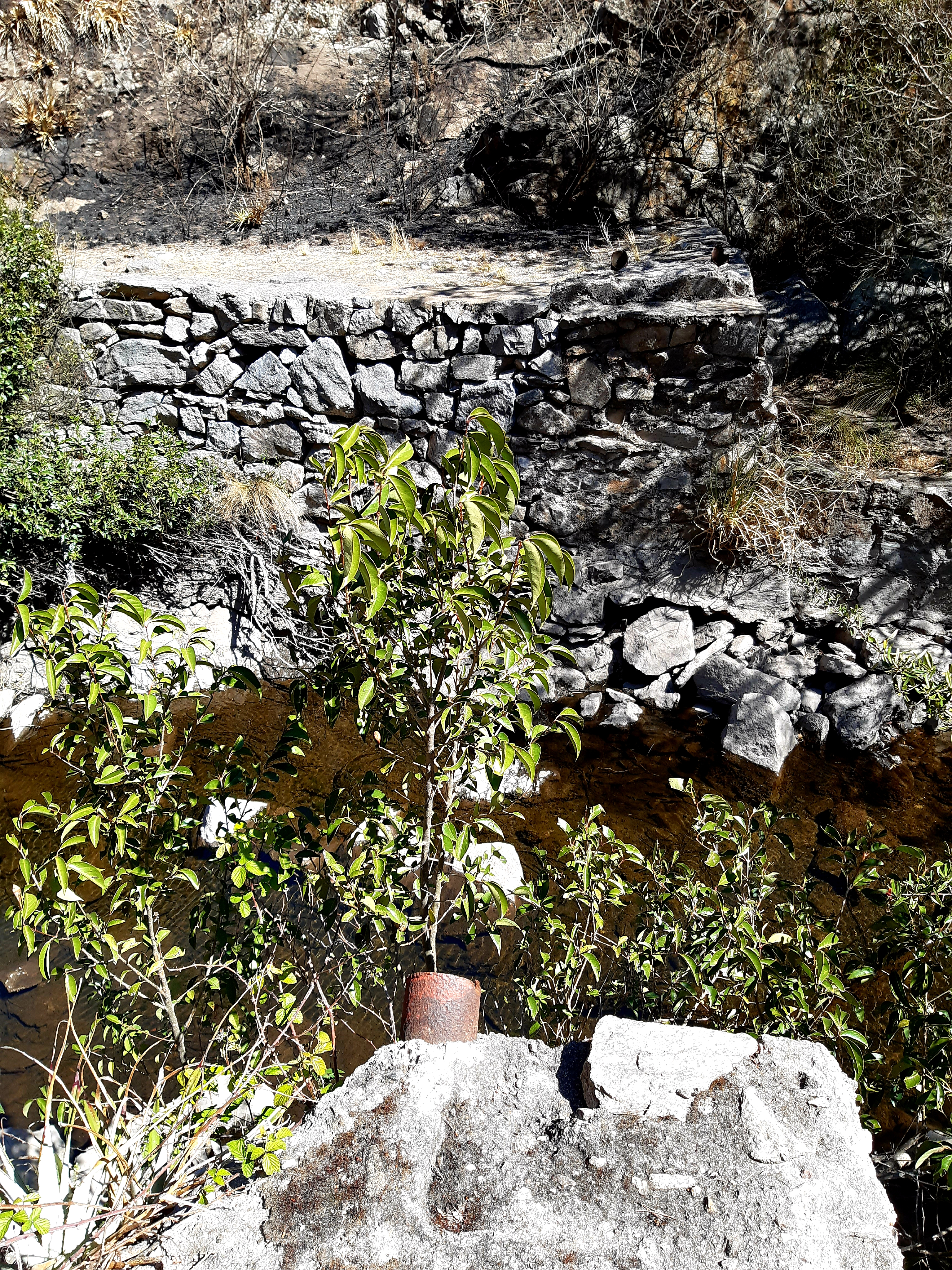 I saw that there was a path down the side, so other people had met with the same trouble. This process repeated itself several times, sometimes with missing bridges, and sometimes with overgrown plants or fallen trees. I was wondering if the track was going to take me back to town, when I saw some houses and a gate that said ‘no entry’. It was loosely fastened with a piece of wire, so I just opened it and went through.
 I heard voices and saw some people, so I got scared and decided to bundu bash up the side of the mountain that had been turned to charcoal by a fire the previous weekend. Easy to climb up, not many shrubs left, yet some black stalks often blocked my way. When I got to the top, there were of course more hills, and a dirt track in the distance. Not for me, so I decided to go down again and face whoever was at the first house, asking permission to pass. I was almost at the bottom when I realised that people were coming down the path, and I scurried to get onto the path before they got to me, so that they wouldn’t know I had been trespassing even more by climbing up the hill. I clumsily fell into the way of the leader of a group of about 25 youngsters, and scrambled to my feet, feeling as stupid as a naughty child, blustering half-Spanish excuses. The guy could speak English, and very kindly informed me that it was quite okay, I could follow the path past the house and follow the dirt track back to town. I thanked him sheepishly, and when I had passed all 25 youngsters with as much dignity as I could muster, I started looking at myself and realised that I was covered in soot from the burnt bushes. Black streaks covered my hands, arms, legs, clothes and I suppose my face too. I felt like the proverbial chimney sweep who had fallen into the fire-place in a cloud of soot. Moral of the story: never climb a burnt hill. Even my hat had black marks on it. Was I happy to see La Cumbre!
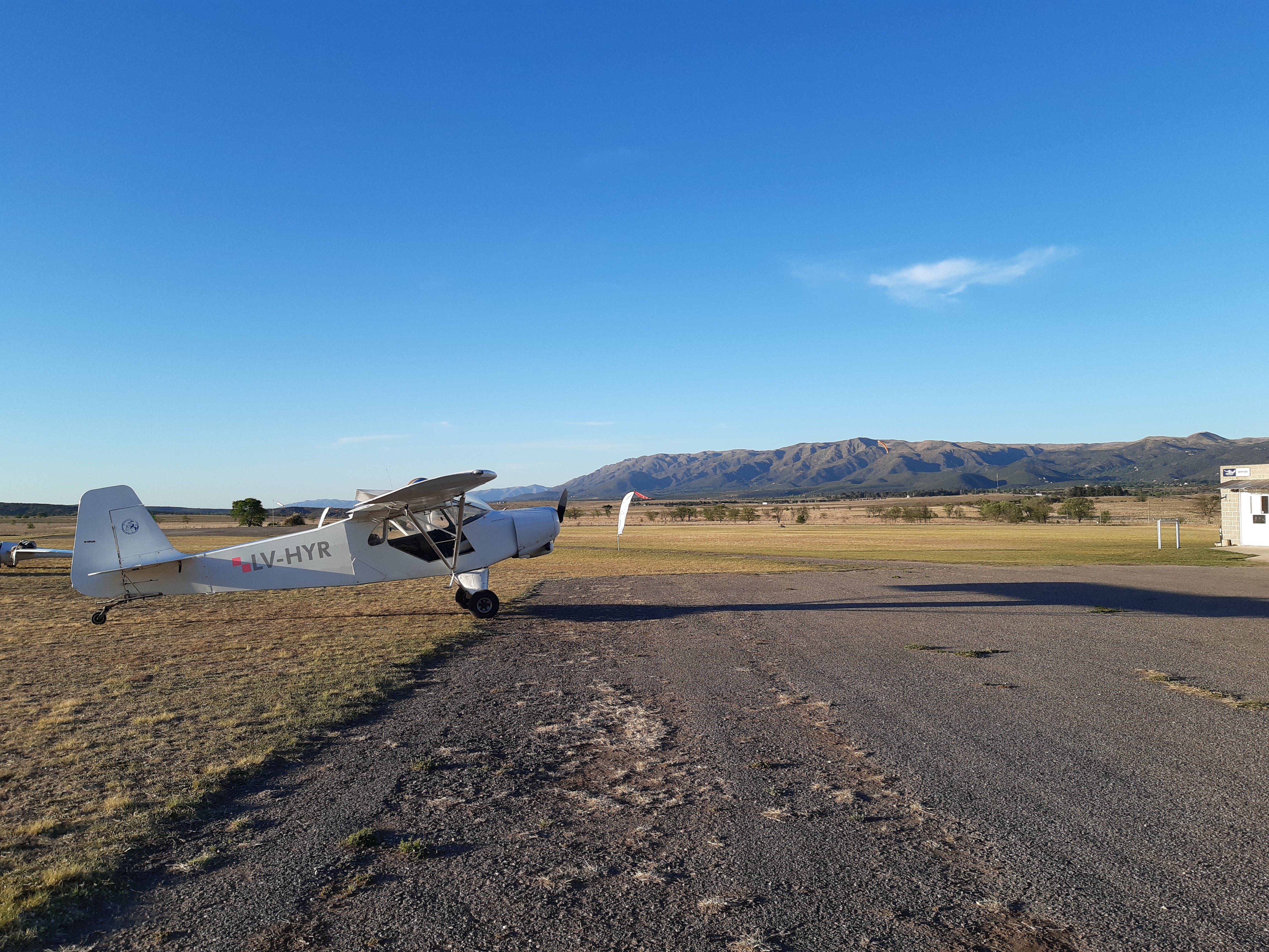
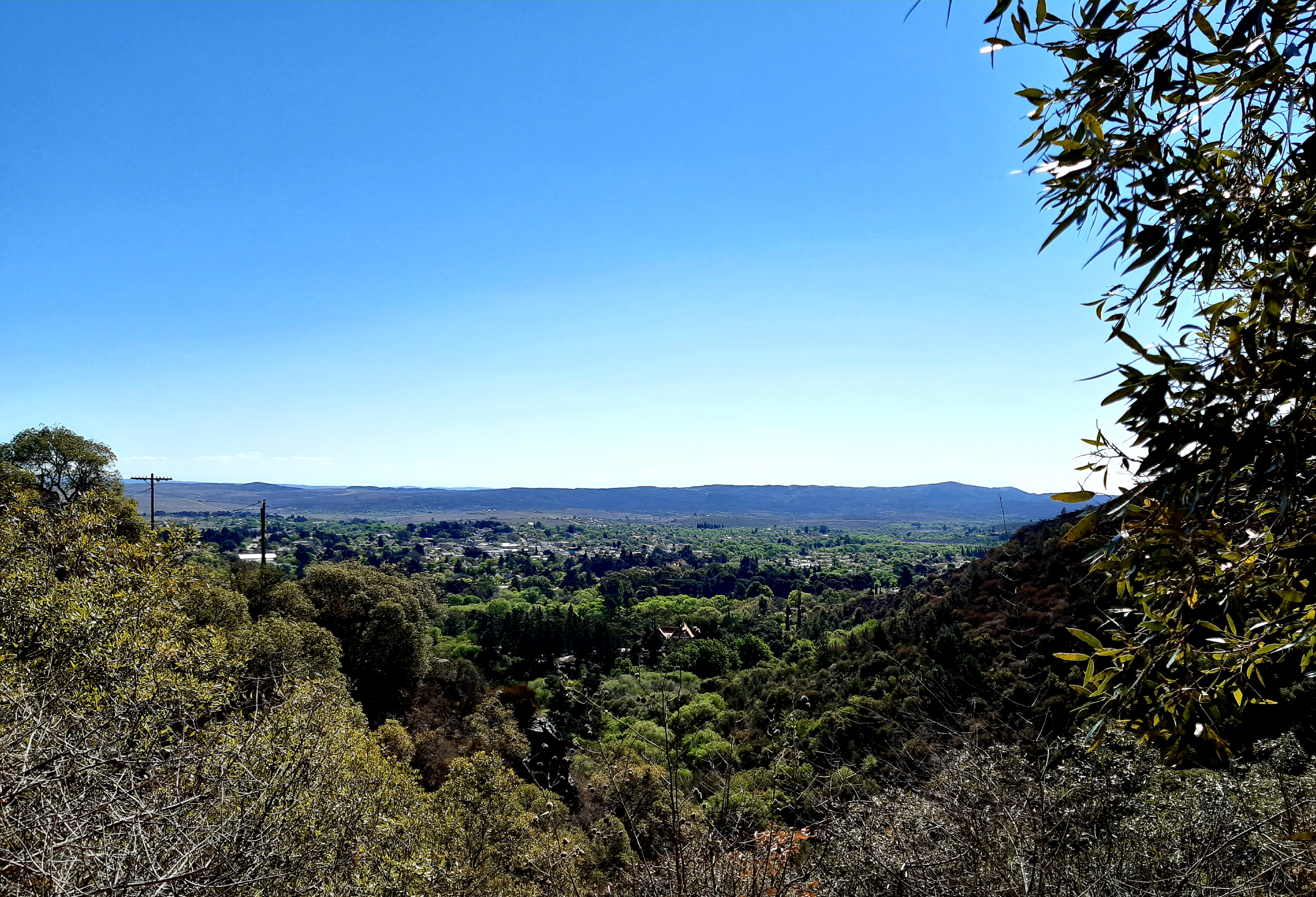 On Sunday Lucia told me that the sunsets at the flying club were quite spectacular, so I decided to walk there. She never mentioned the distance: 2km along the highway and then another 2km on a dirt track. All the way there I was thinking that it turns dark after sunset, and 4km is a long way to cover. A band was playing at the restaurant at the airfield and there was quite a jolly crowd gathered. Not many planes, but some kites and gliders.
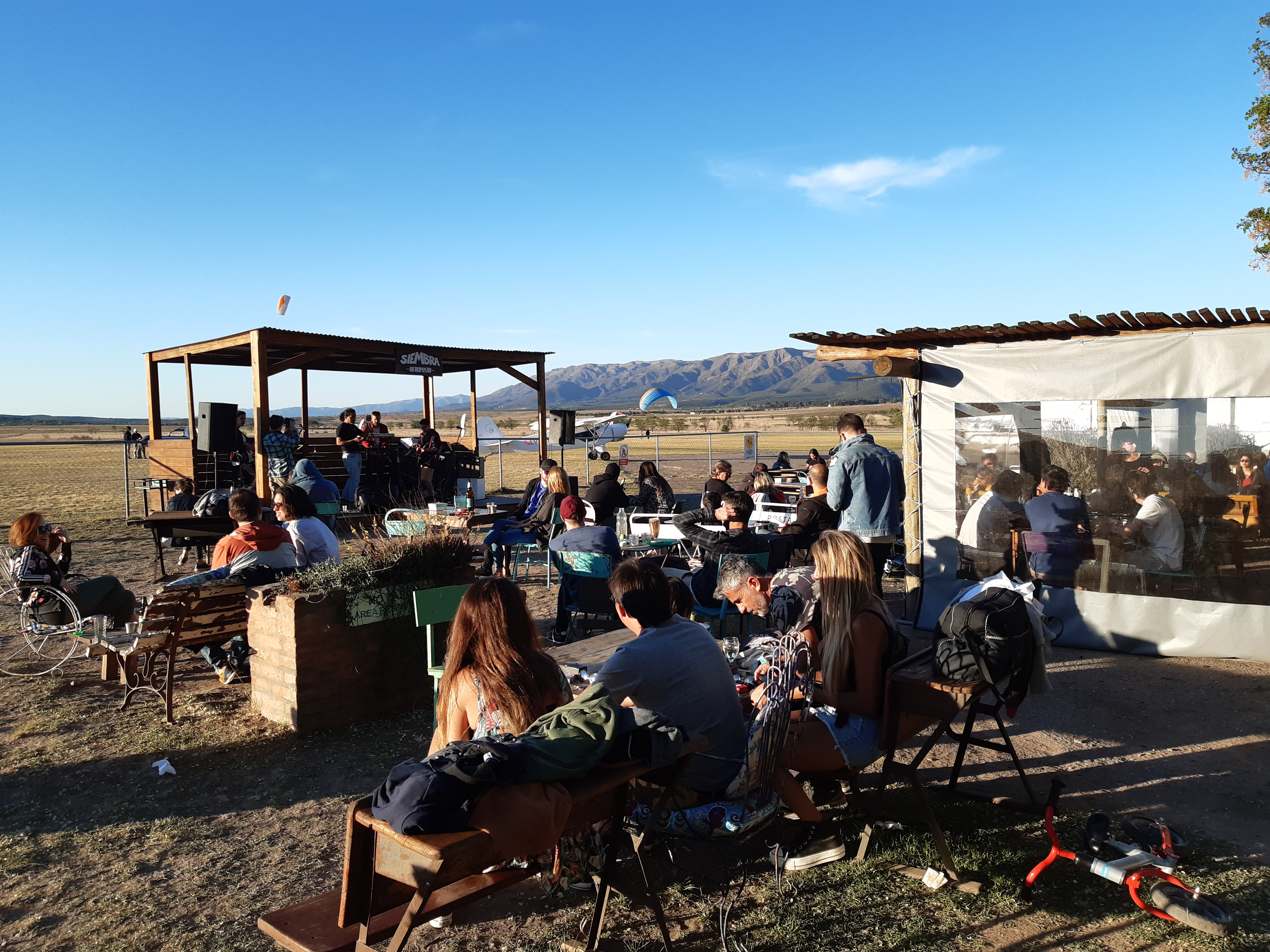
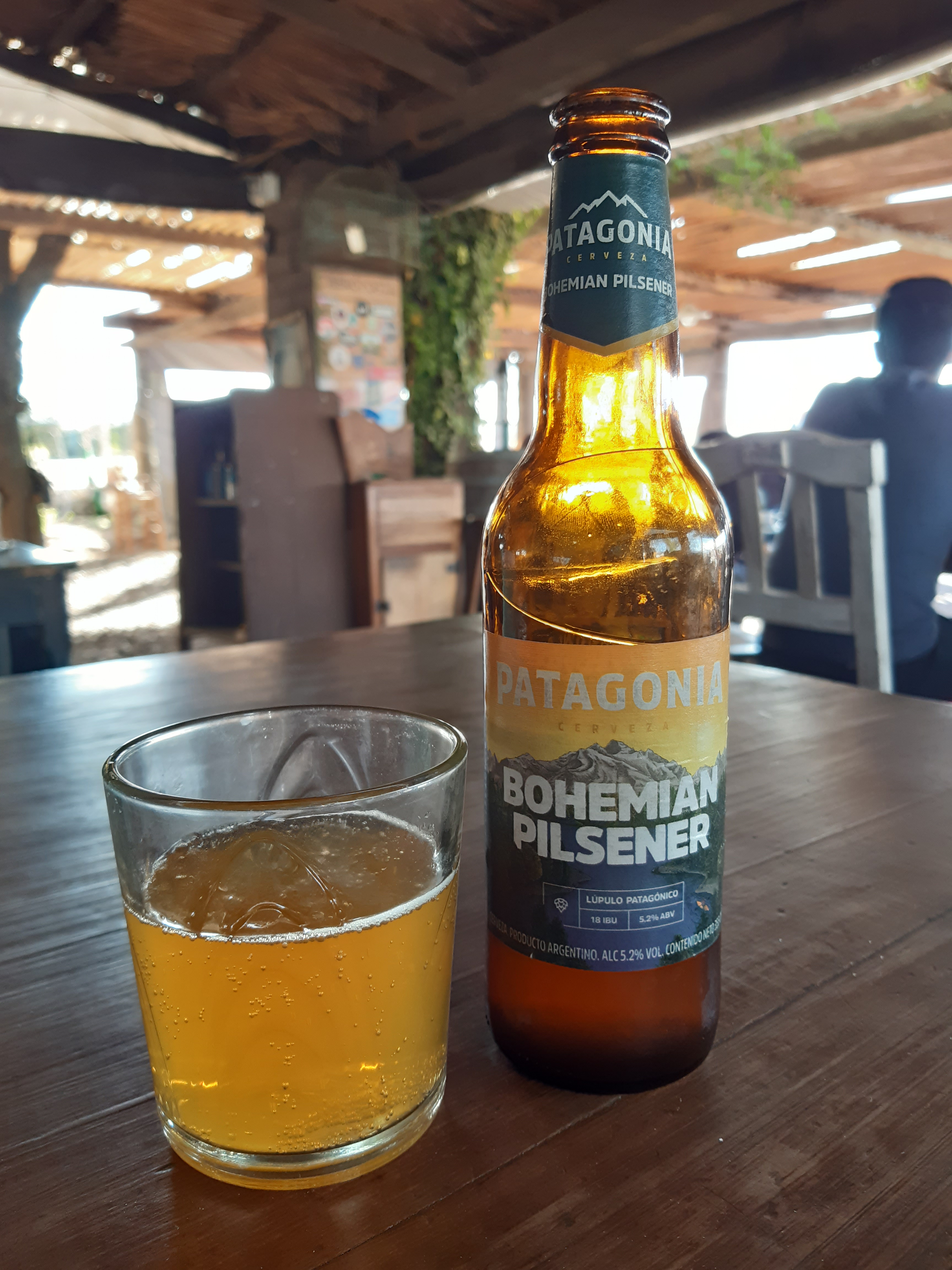 I had my beer and left early, to catch the light, and then I decided to hike. Just my luck: I was given a lift by a couple who were going back to Córdoba, so they dropped me at the intersection on the other side of town and I ended up walking 2km anyway. Sometimes I wonder at the picture I’m presenting: old woman walking along a highway/dirt track/mountain pass, alone, with a huge hat and rucksack. Life lesson?? Doubtful…