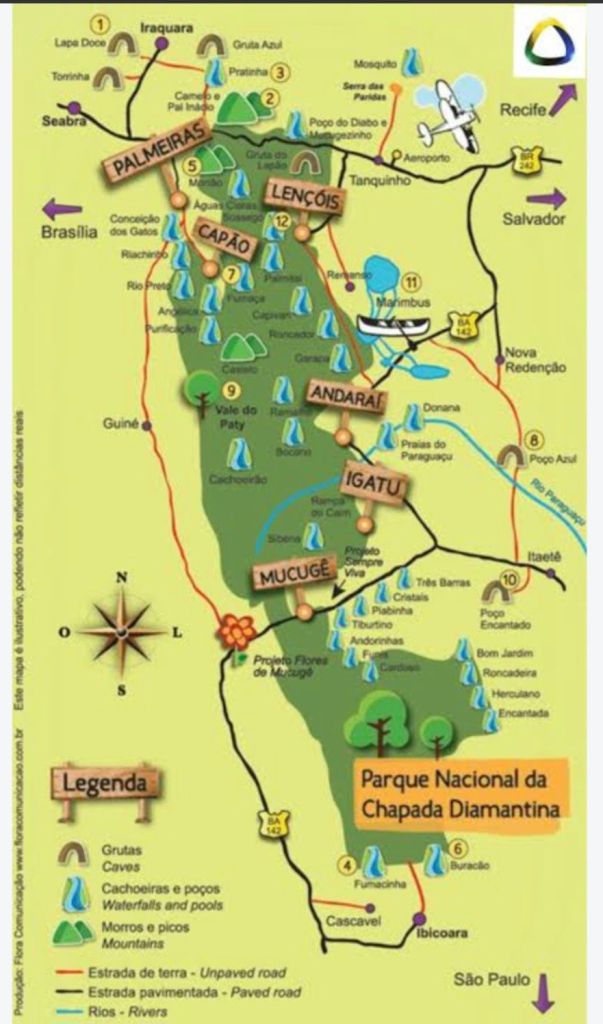
I met Ale in Argentina, on my first trip to South America seven years ago, where we were both working as volunteers in Sauce Viejo, 450km from Buenos Aires. He is from Uruguay, but has spent most of his life travelling. He and his girlfriend, Mell, work in Sweden during the winter and spend the rest of the time in their camper-van in Brazil. He was the one who told me about the ombu forest in Uruguay, and when I said I was coming to Brazil, he mentioned Chapada Diamantina in Bahia, where they spend most of their time. The photographs he forwarded of them hiking in lush green canyons and swimming in waterholes below cascading waterfalls convinced me that that was where I would be heading to in Bahia. He recommended three towns: Lençóis, Igatu and Mucugê, and I planned my itinerary accordingly, starting at Lençóis, which is the entry point to the park.
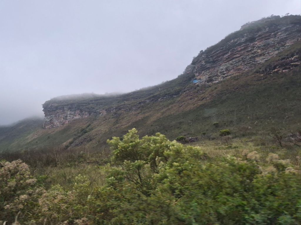
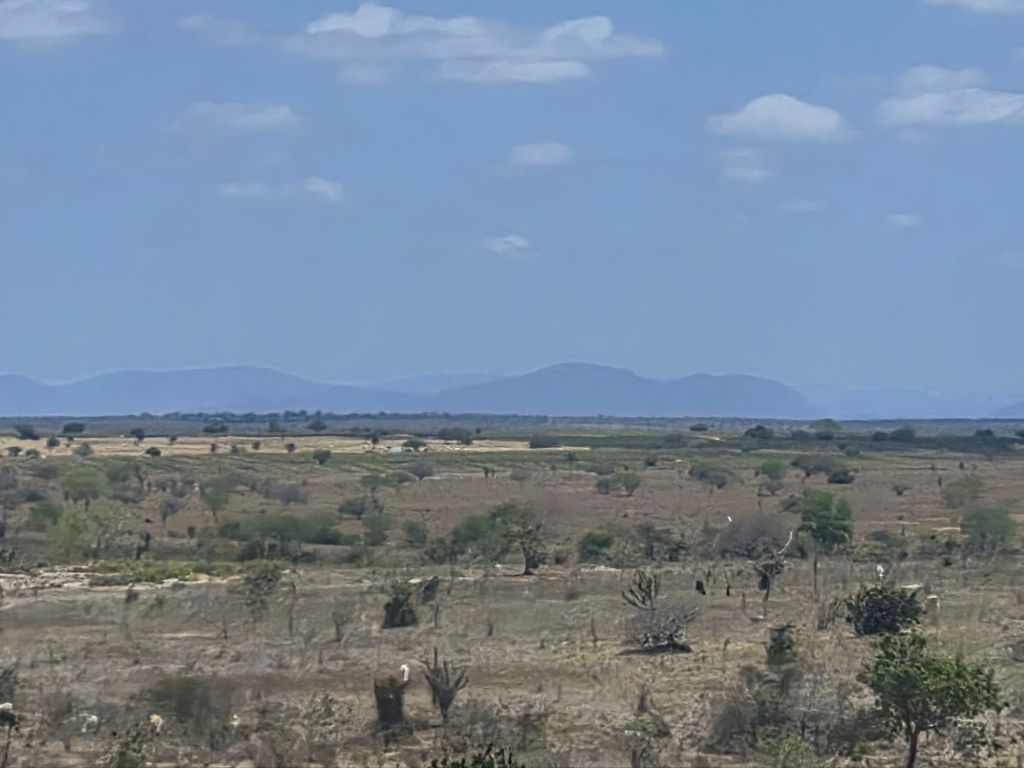
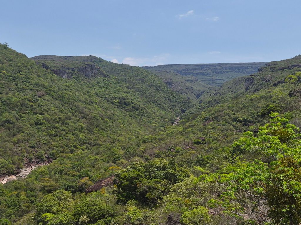
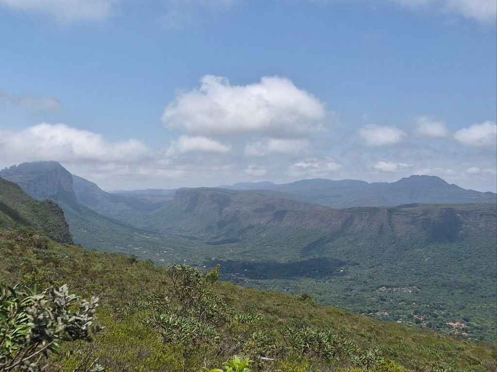
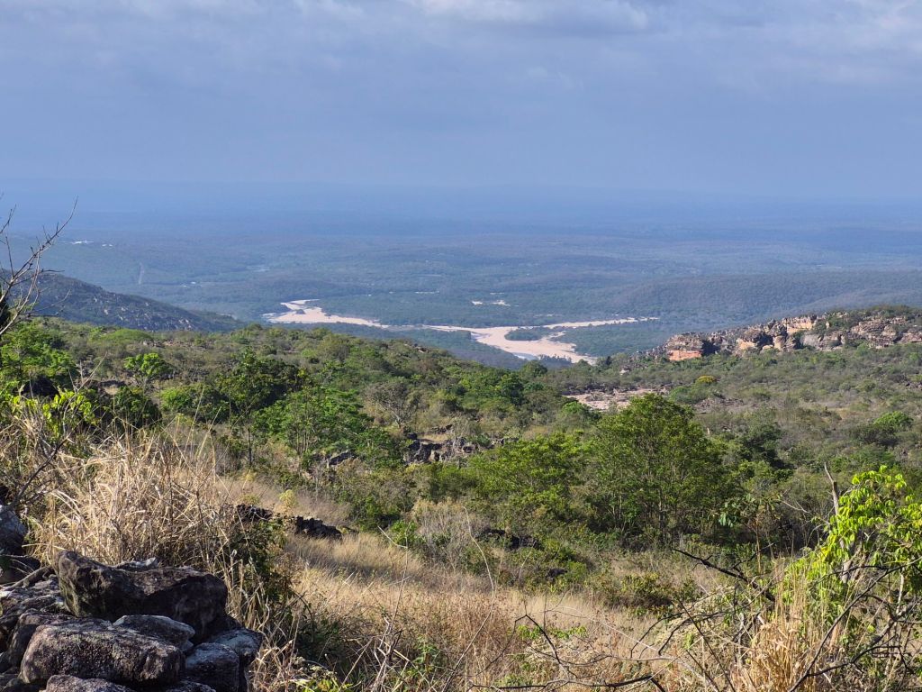
Chapada Diamantina national park lies within the greater plateau region of Chapada Diamantina, and covers 1520sq kilometres. The bus from Salvador took about 8 hours and we travelled through different landscapes, descending into the Lençóis river valley which is bordered by the plateau.
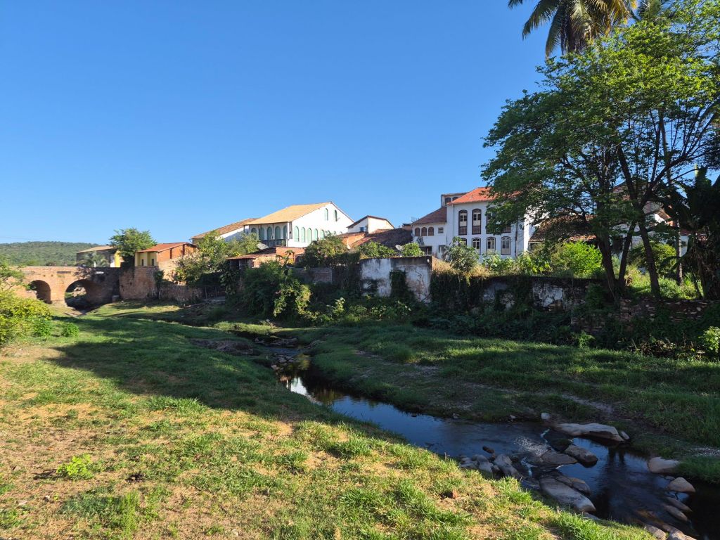
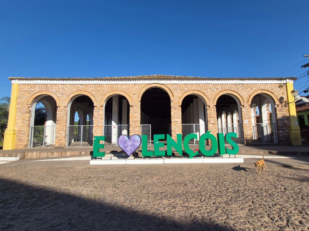
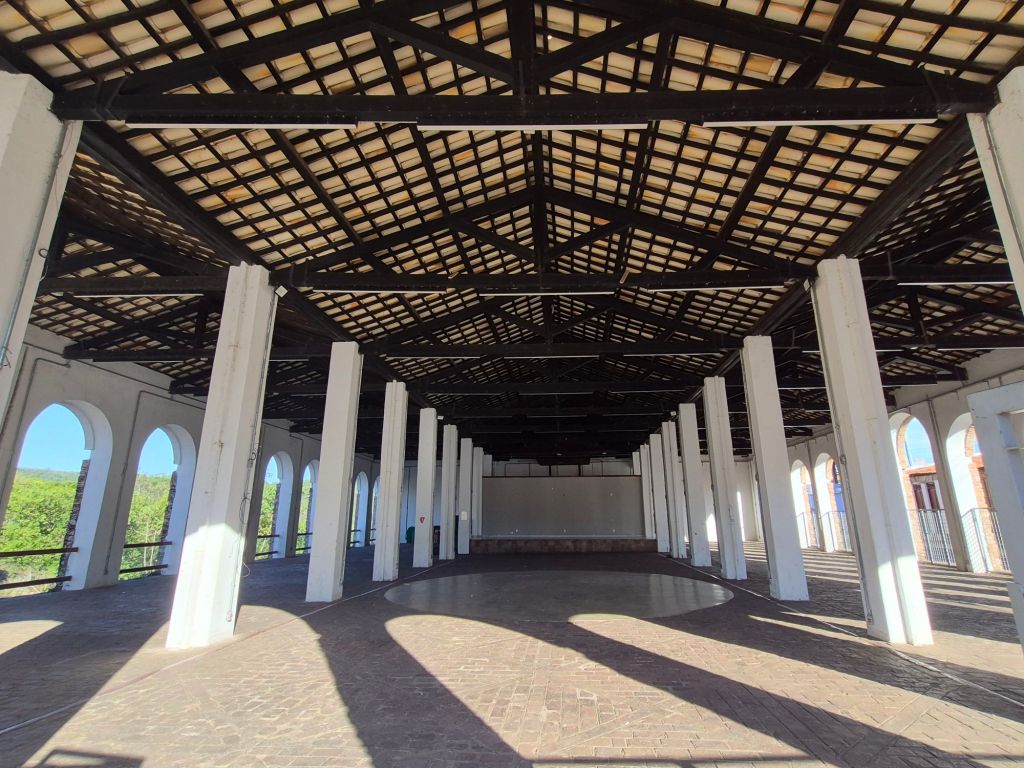
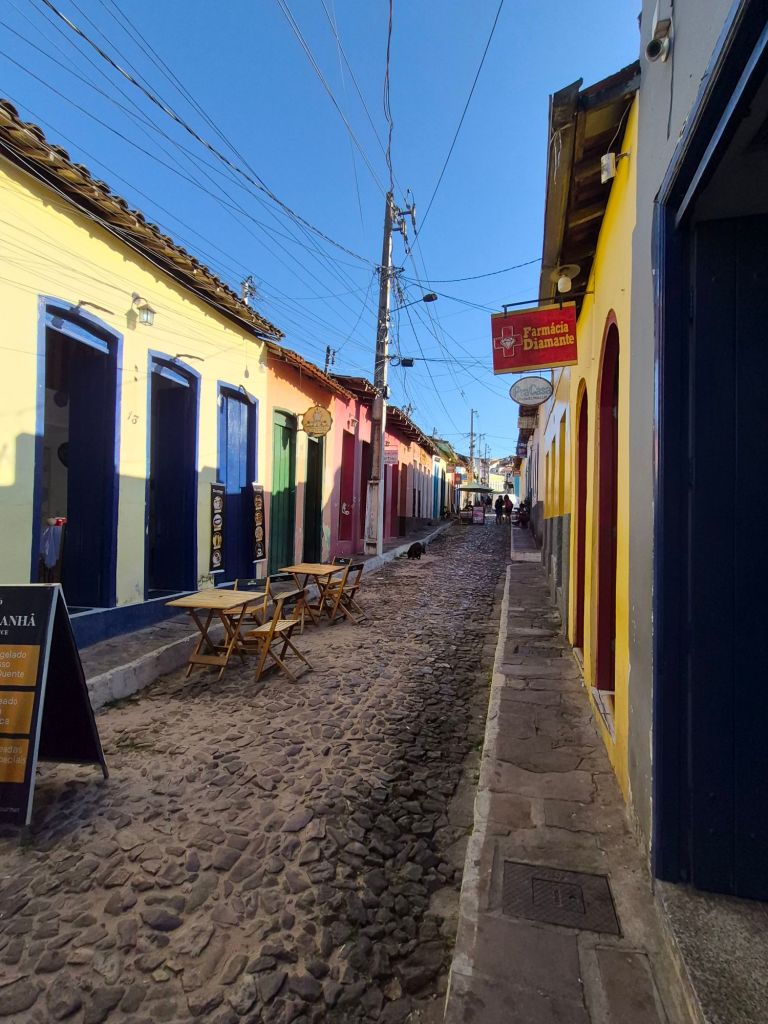
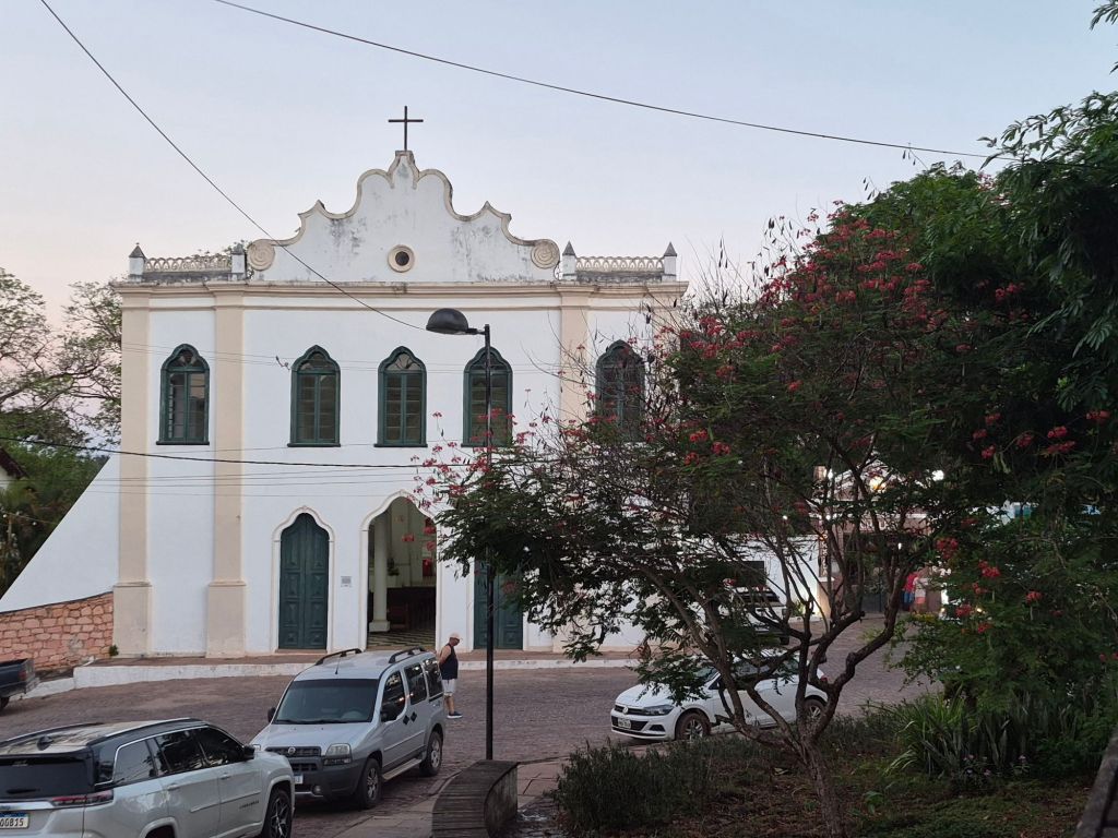
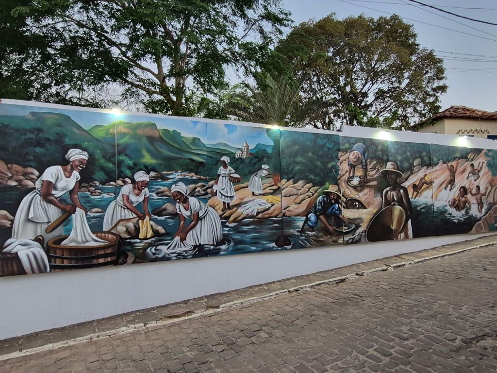
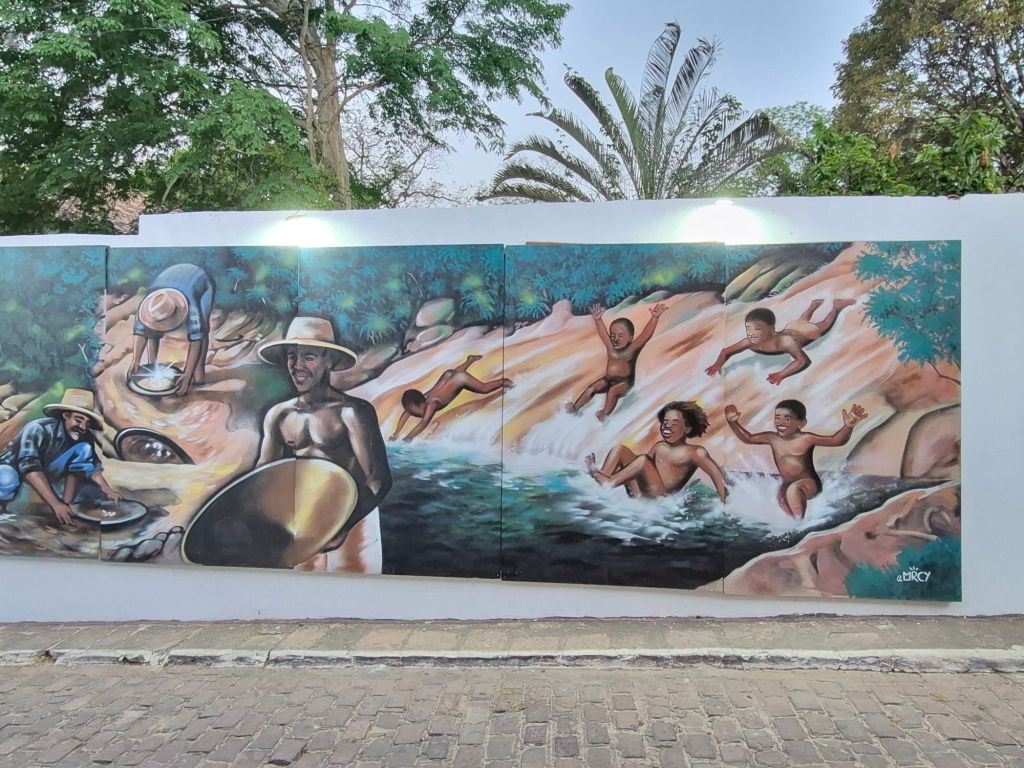
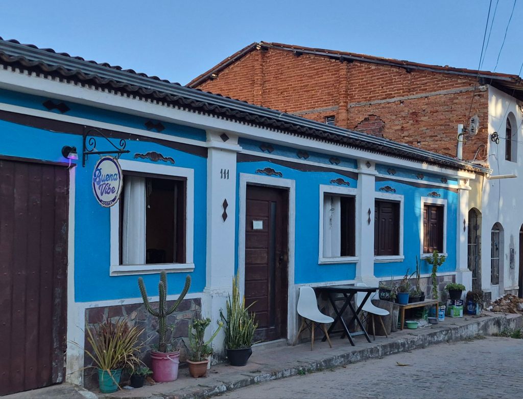
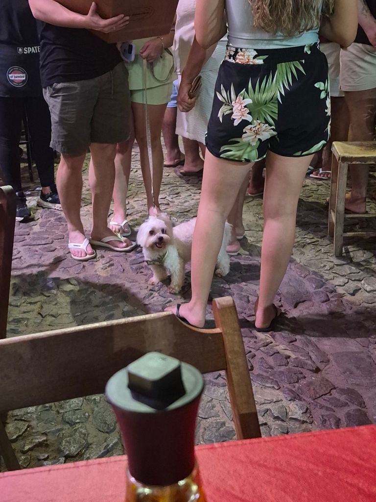
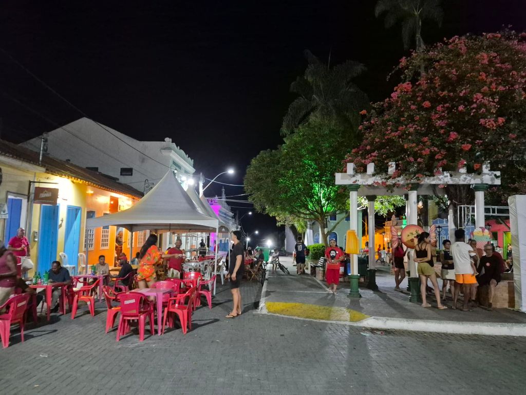
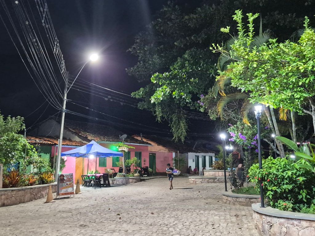
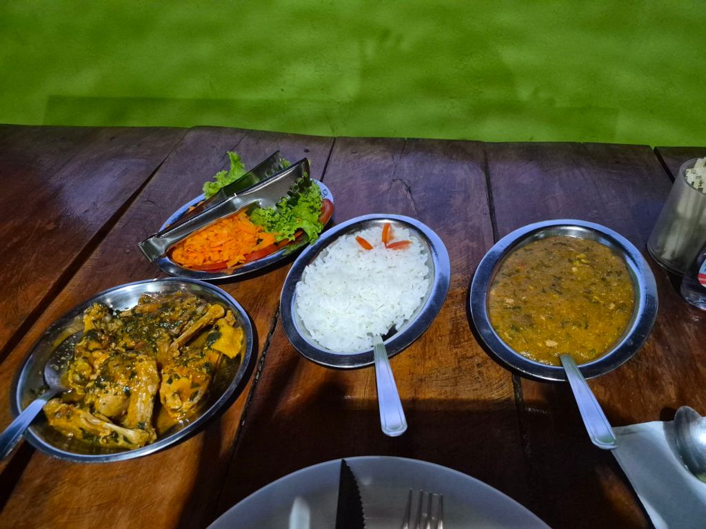
I was the only guest (it was becoming a habit) and after unpacking, I went in search of dinner. There was an area that was closed to traffic (except the occasional bicycle that would squeeze through) where the restaurant tables were packed out on the street, all very ‘gesellig‘. It was difficult to choose, but because I was looking for local food, it narrowed down the options. The menus were displayed on one table at each restaurant, but even so the waiter or owner would approach you and explain. I noticed that people often engaged with the waiter, instead of just shaking them off. They would talk and discuss, sometimes sitting down, and sometimes moving on, all very polite and civilised.
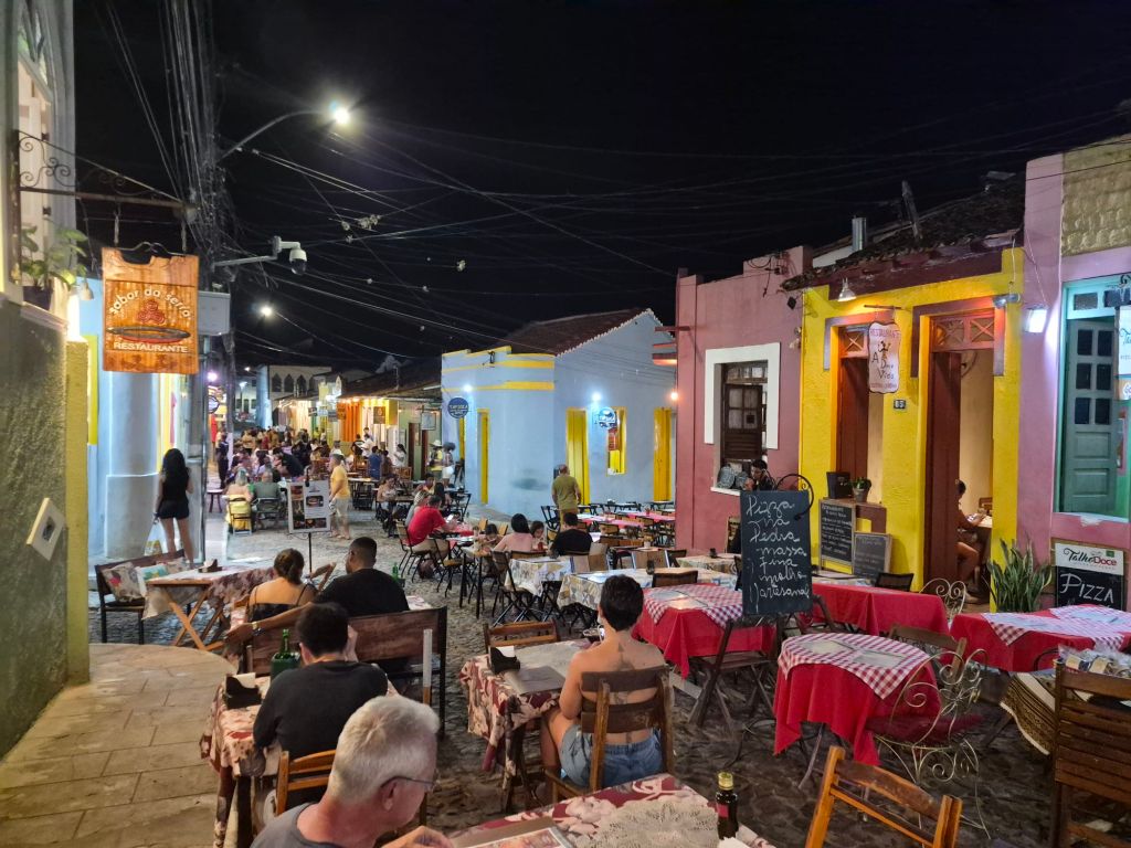
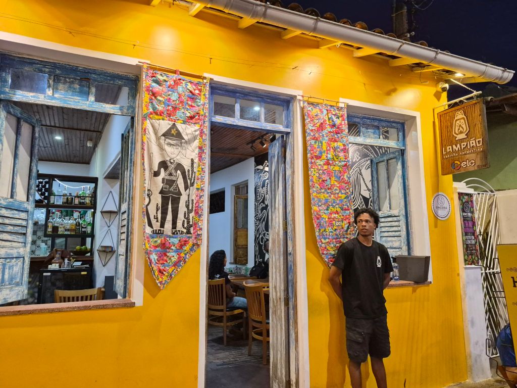
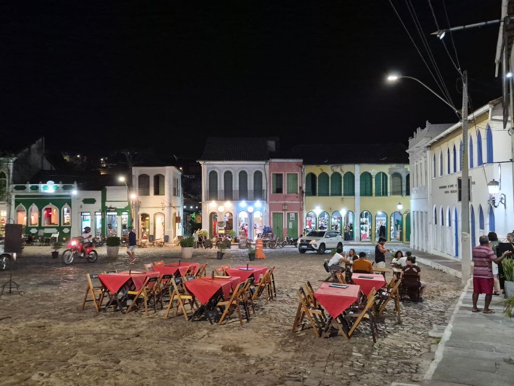
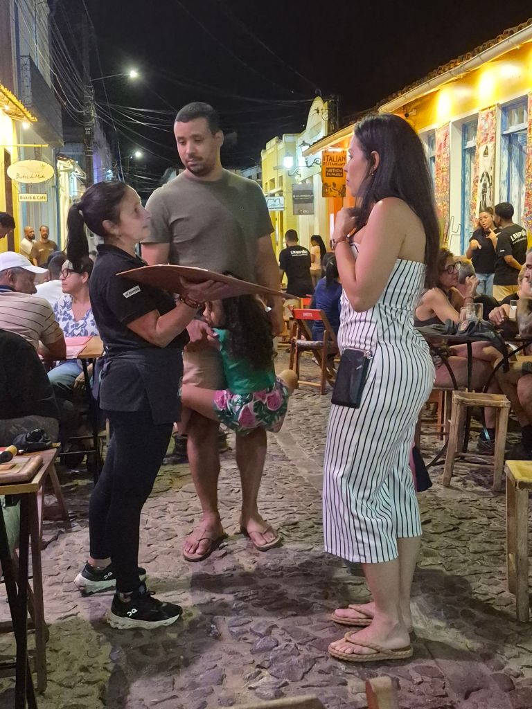
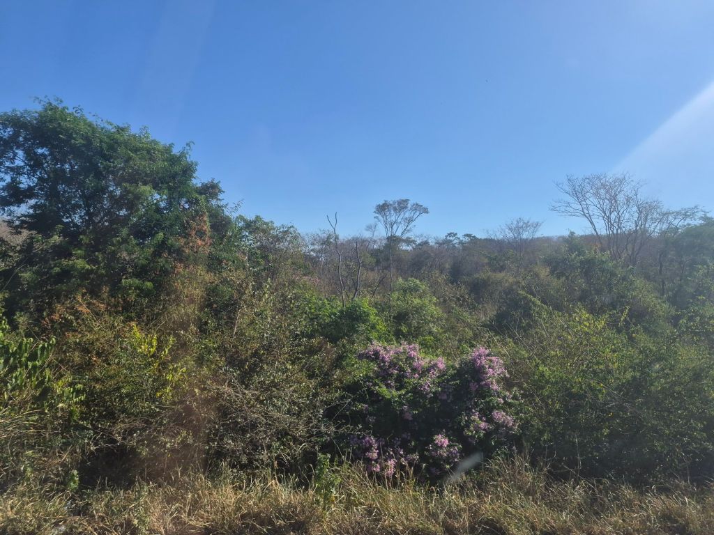
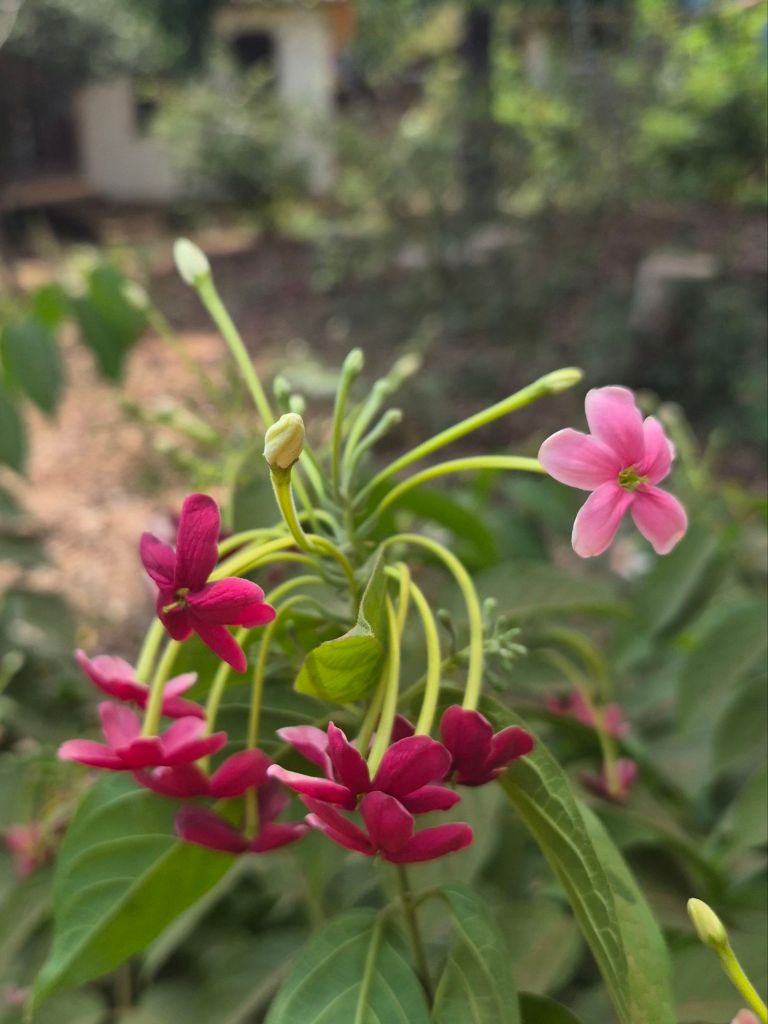
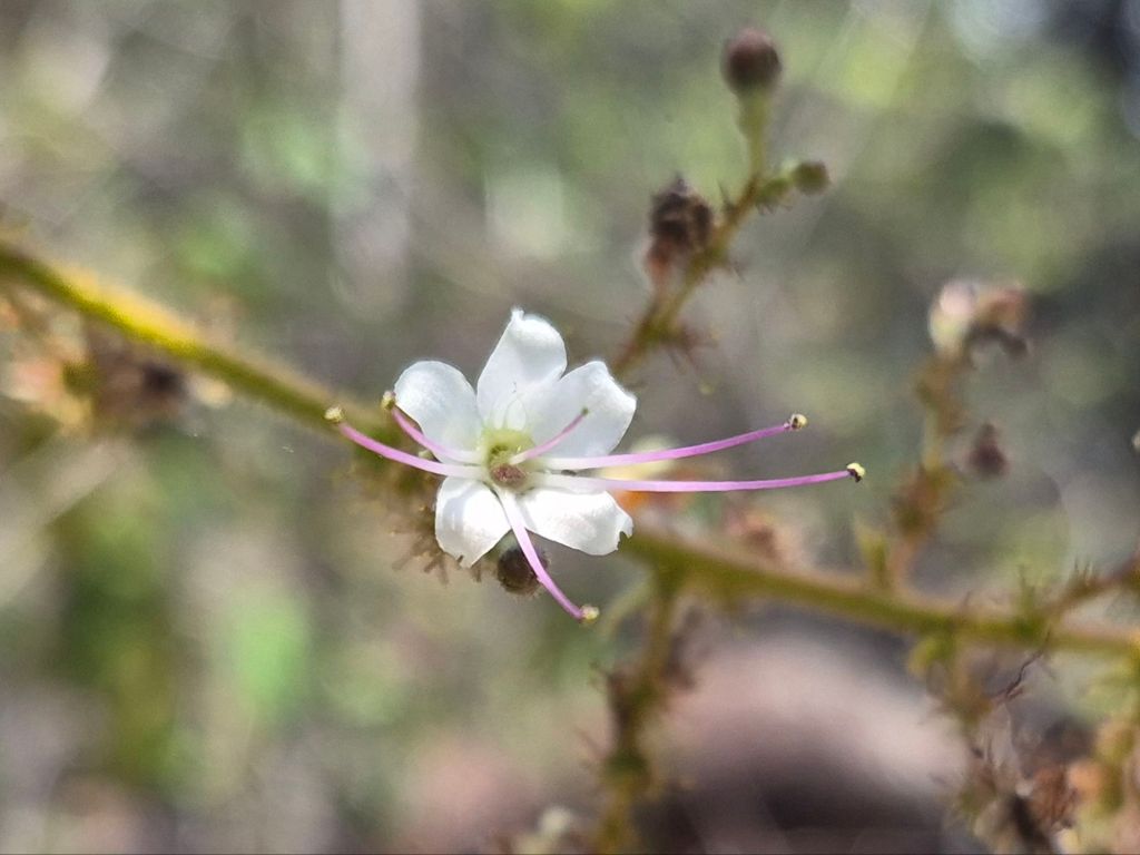
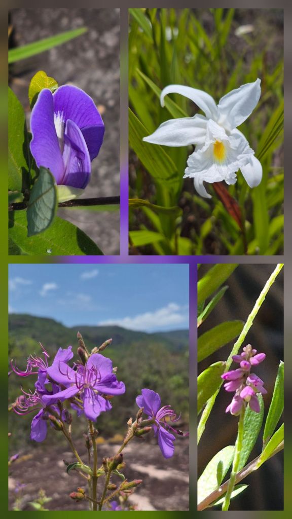
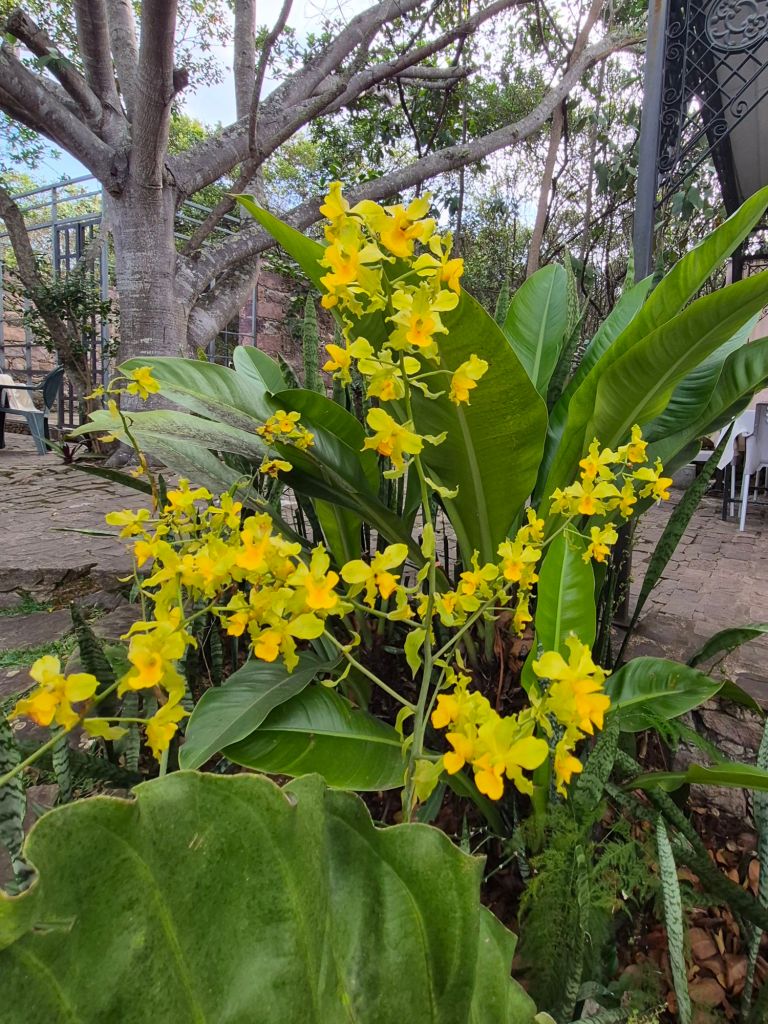
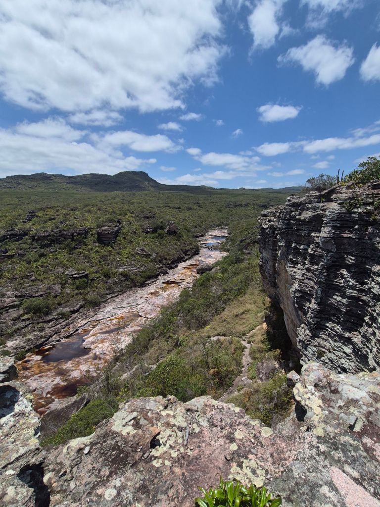
Each town has many trails to waterfalls and I chose to visit the ones that were closest as my left knee was really beginning to trouble me if I walked more than 10km. In Lençóis I set out to Ribeirão do Meio, almost 5km out of town, through some forests and more arid vegetation. At the start of the trail was a notice explaining the vegetation: “Chapada Diamantina’s particular geography, with different altitudes, topography and soils, gave place to a rich and diverse vegetation. For this reason it is considered a huge mosaic of ecosystems: desert vegetation, tropical savannah, Atlantic forests and rocky fields.” As I left town, I became aware of a sweet aromatic smell, and I found a tree with tiny flowers that were emitting the smell. In the forest the same thing occurred, and I really had to search to find the tiny flowers that were providing such pleasure.
The waterfall didn’t have much water, but there was a large pool to swim in, very refreshing. The water in all the rivers is brown, but clear, as a result of minerals and the roots of plants, just like in the mountains in South Africa. I went back via a different trail and found a ‘bar’ in the forest about 2km before town – a beer went down well.
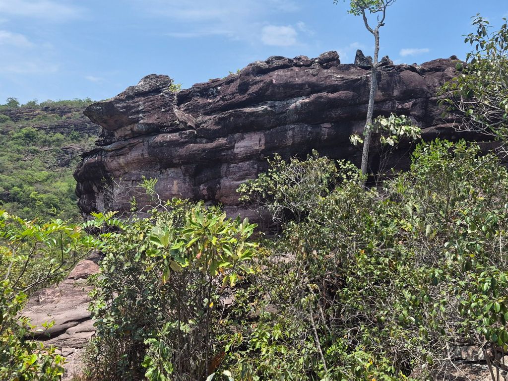
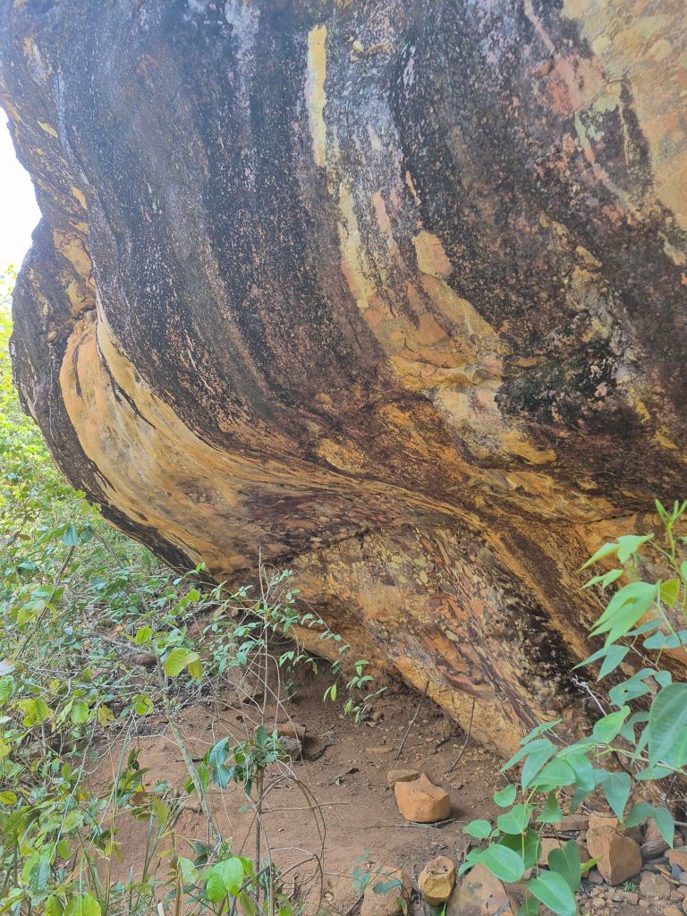
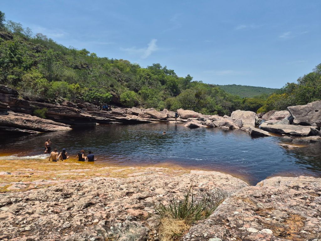
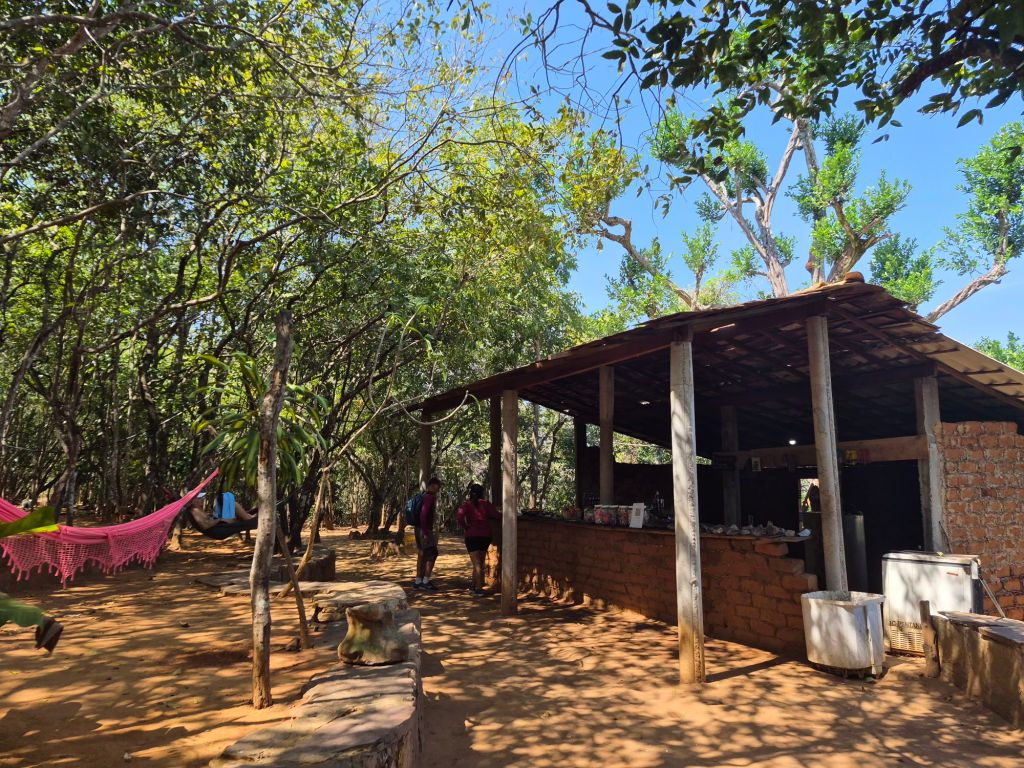
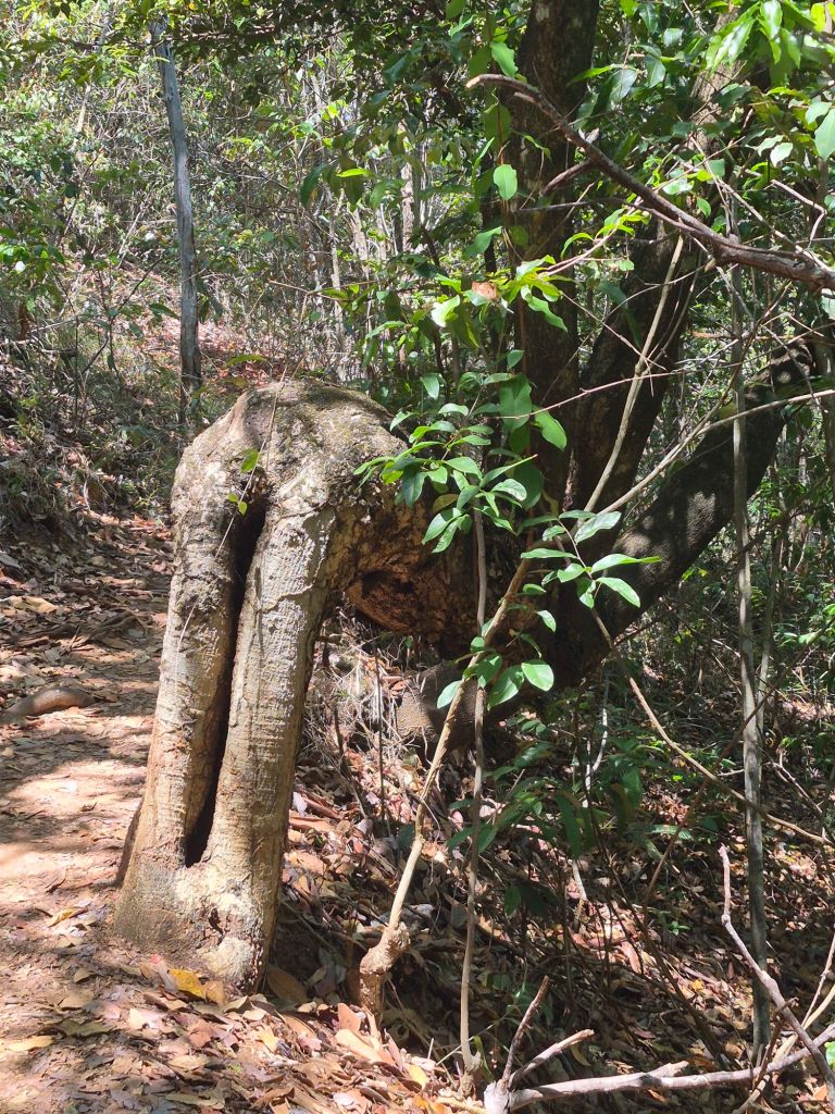
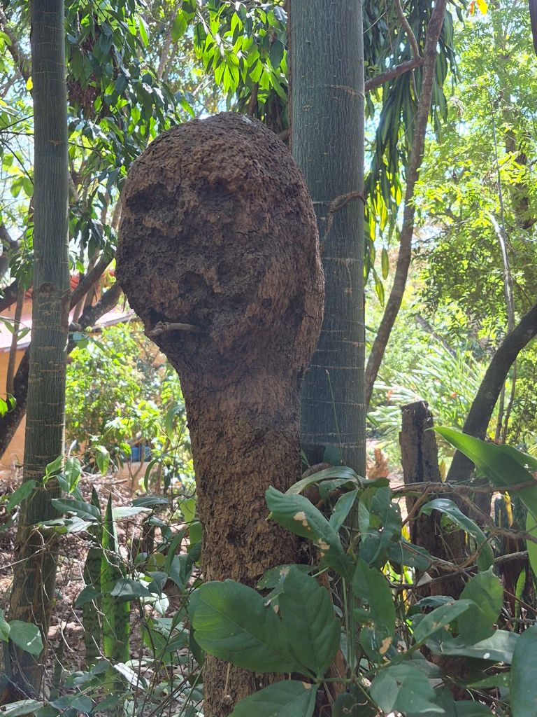
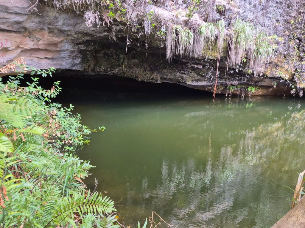
I’m a little bit ashamed to say (but secretly quite happy) that I outwitted the system the next day. There is a Municipal Park (Parque Municipal da Muritiba), where one pays an entrance fee of $R20 (R66) and additional fee of $R200 (R660) for a guide if one wants to go the waterfall and caves. Maps.Me showed a trail which went to a viewpoint next to the park, which I took, finding a small little waterfall and some pools all to myself right at the top of the hill.
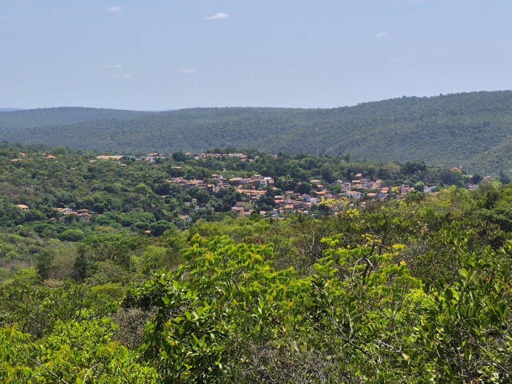
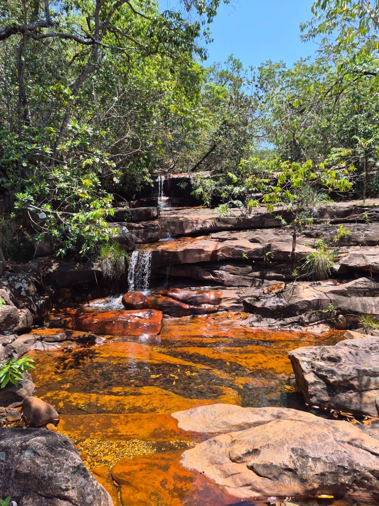
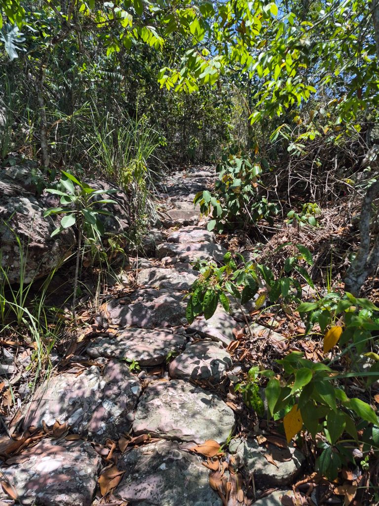
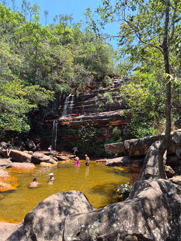
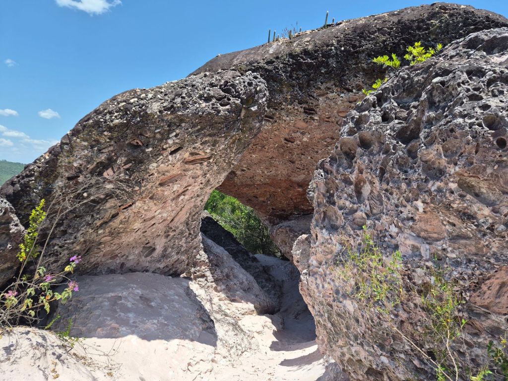
On going back, I saw there was a trail that went into the park at a higher point, and as I followed that, I went past the waterfall, the caves and the ‘open’ pools of the park, without paying anything. Nobody asked why I was walking around without a guide, and I even had the audacity to swim at ‘their’ waterfall.
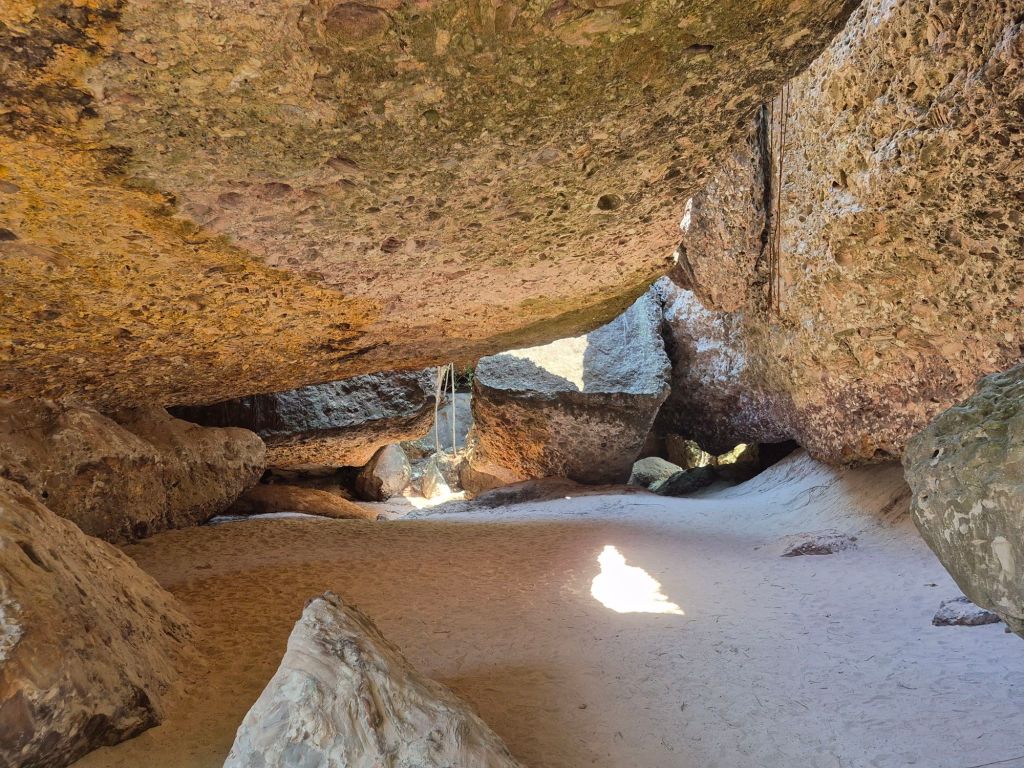
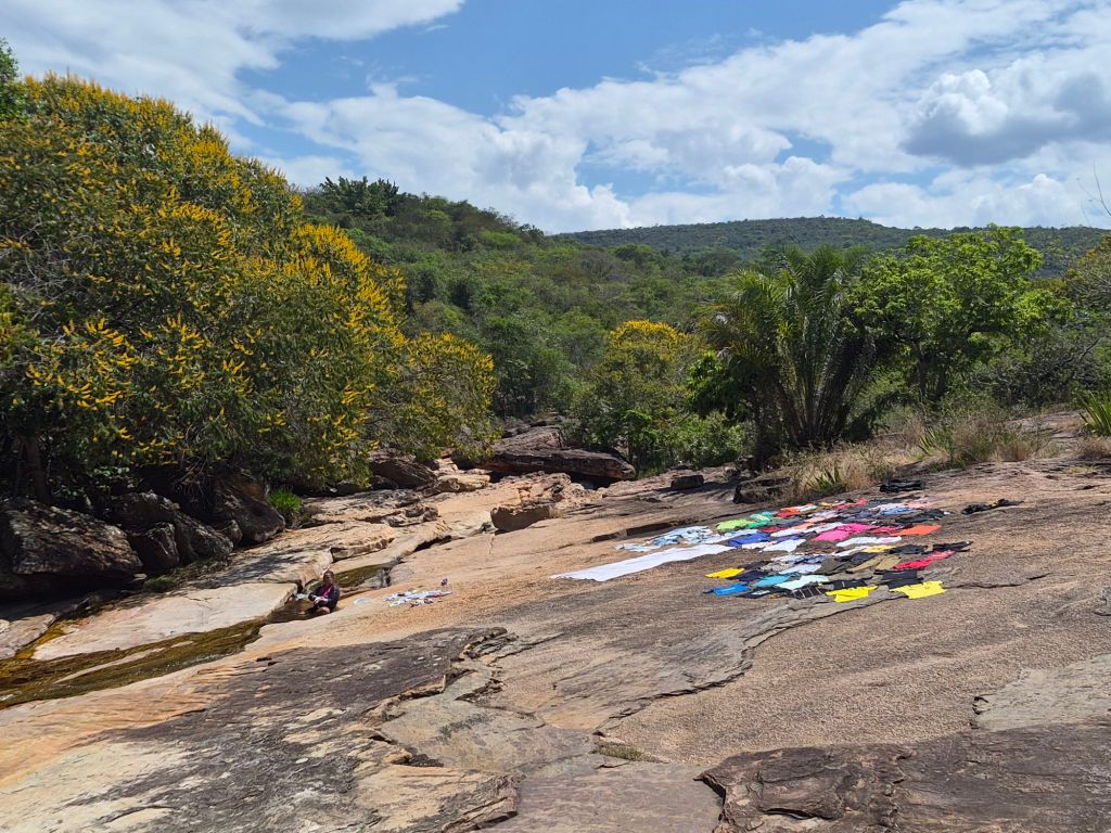
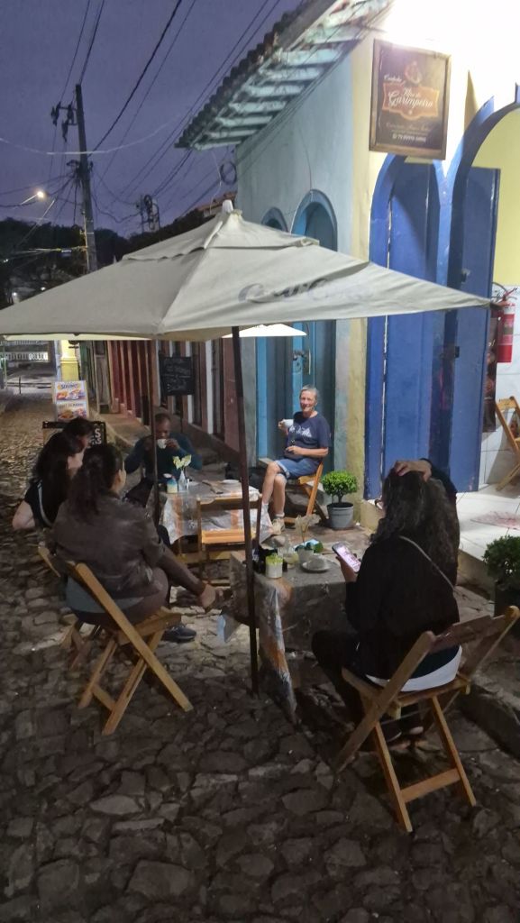
Cachoeira da Fumaça (Fumaca Waterfall) is one of the most popular waterfalls to visit, but I had to go to another town, Palmeiras, to see it. I had to catch a bus at 05h20, and as I walked to the bus terminal, there were people having coffee in the street. The owner persuaded me to join them: “No, the bus won’t come until 06h00, and I will see it from here,” he said.
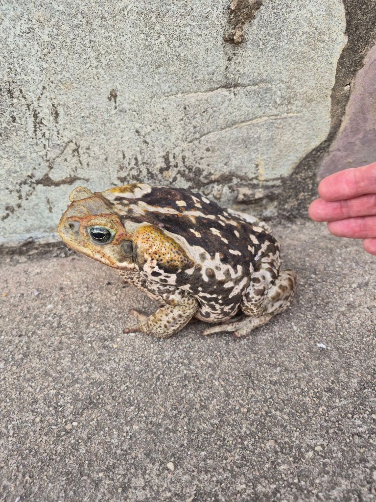
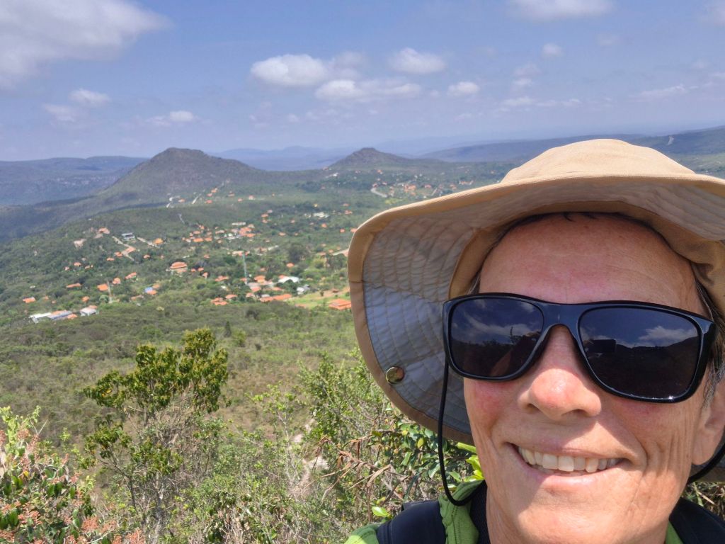
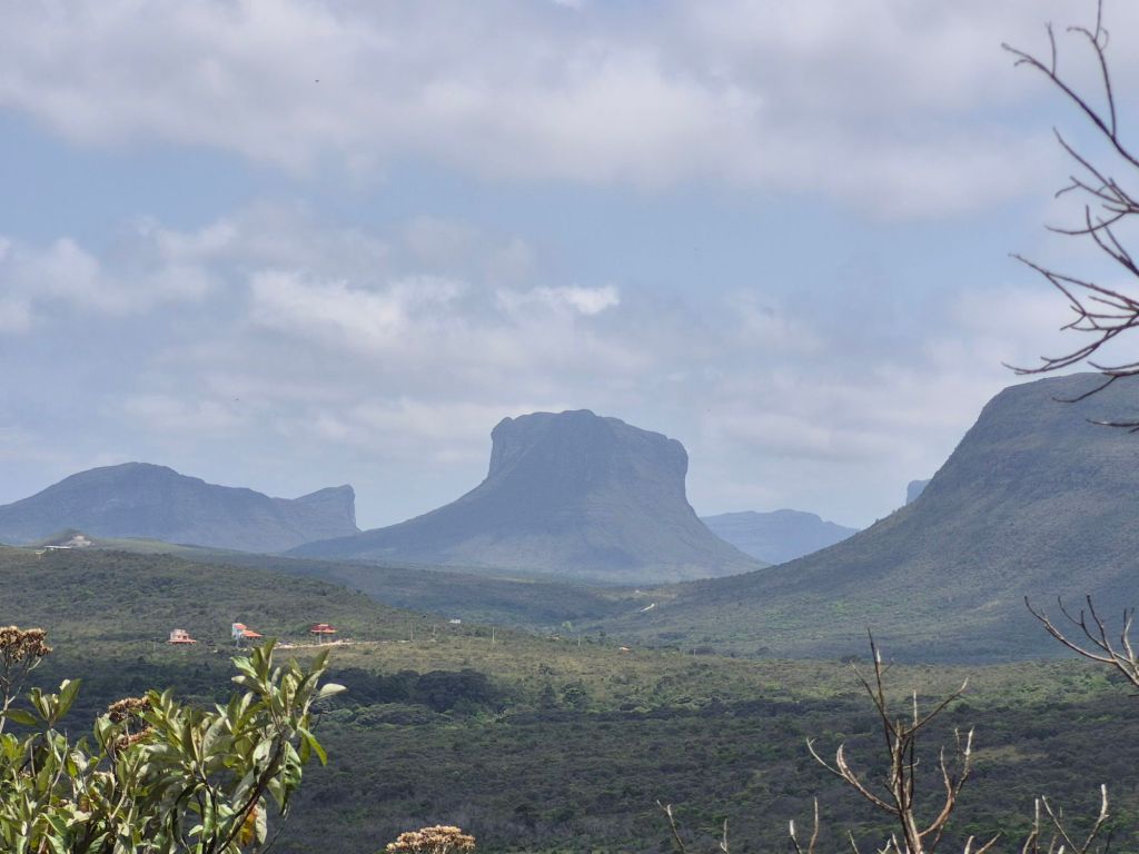
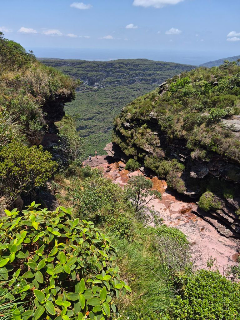
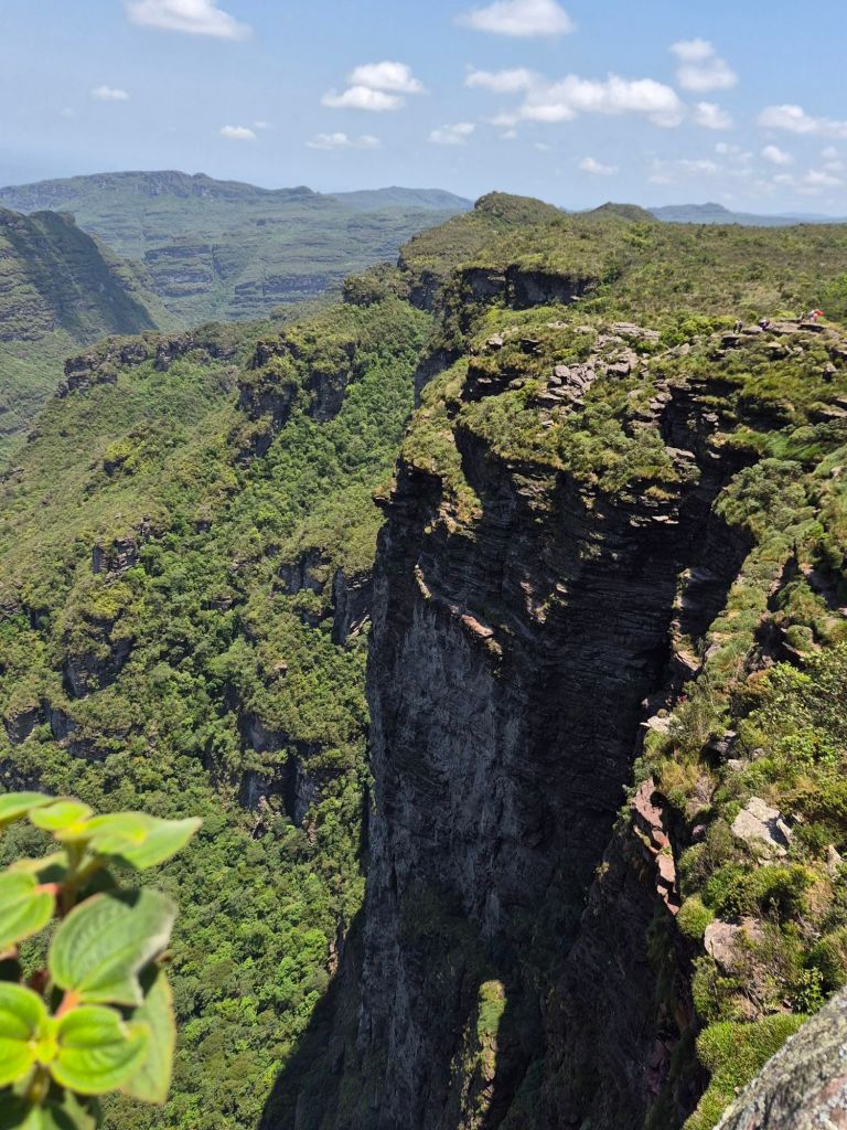
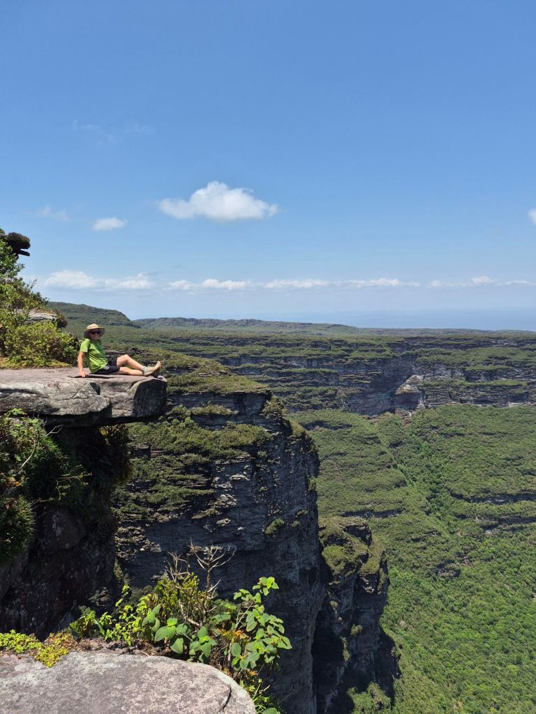
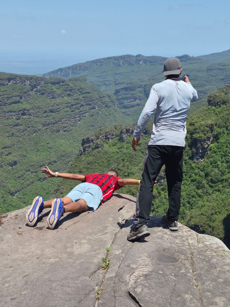
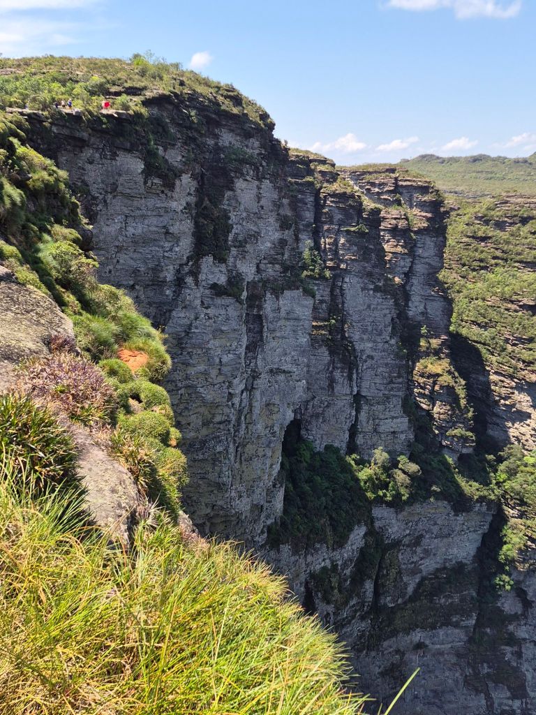
A taxi, which cost R450, took me to the starting point of the 6km trail to the Fumaca waterfall the next morning. It was 2km very steep uphill, then 4km along the top, only to find no water cascading, just 2 girls taking pictures at the edge where the water was supposed to fall. The view was spectacular, and I met some friendly people at the top. The one lady offered me a ride half-way back to Palmeiras, and I hitchhiked the rest of the way, determined not to pay another R450.
Finding a bus to Igatu was not easy, but I managed in the end, with the help of a friendly woman in a remote town where I had to spend the night. The last 7km of the road to Igatu was built with stones, just like the Romans used to do.
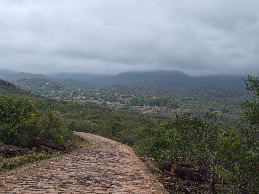
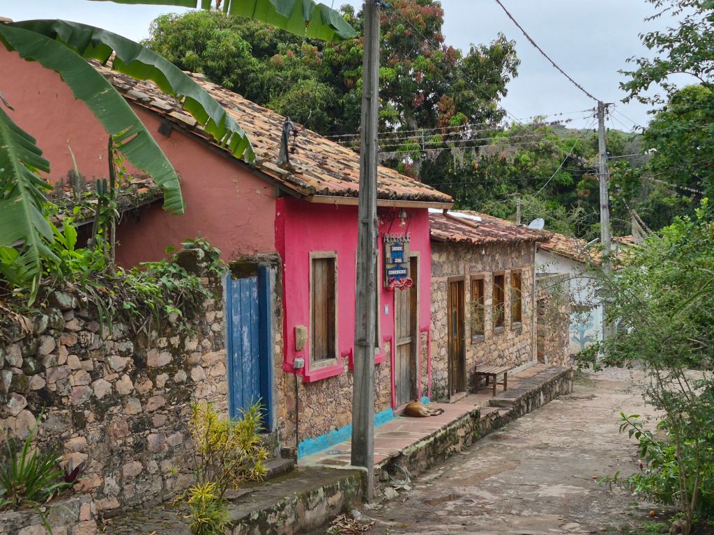
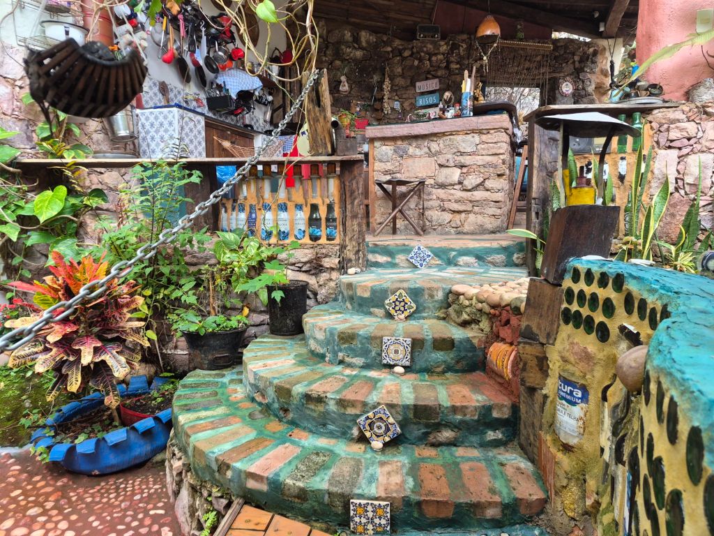
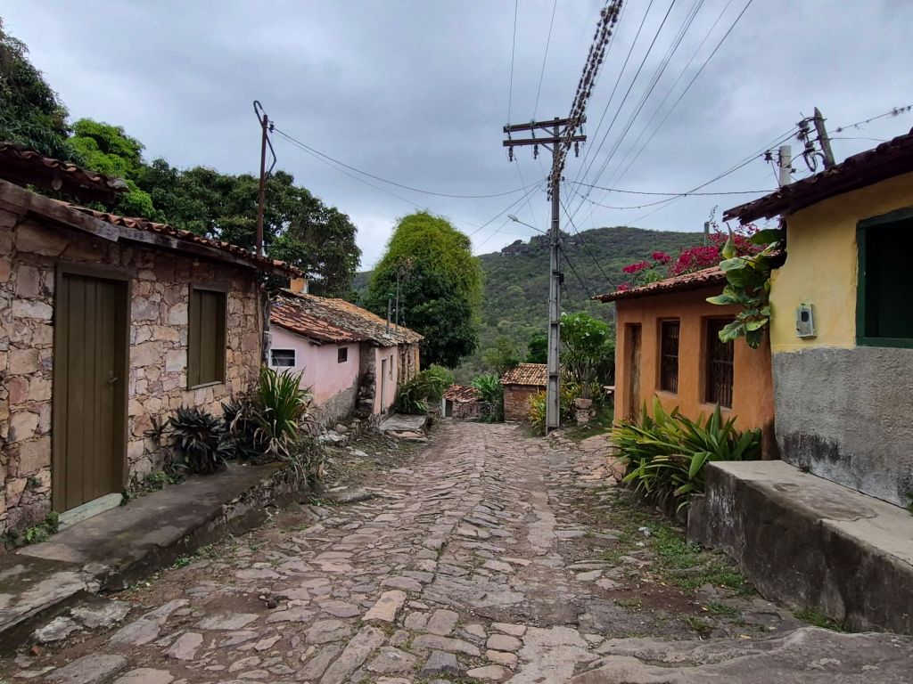
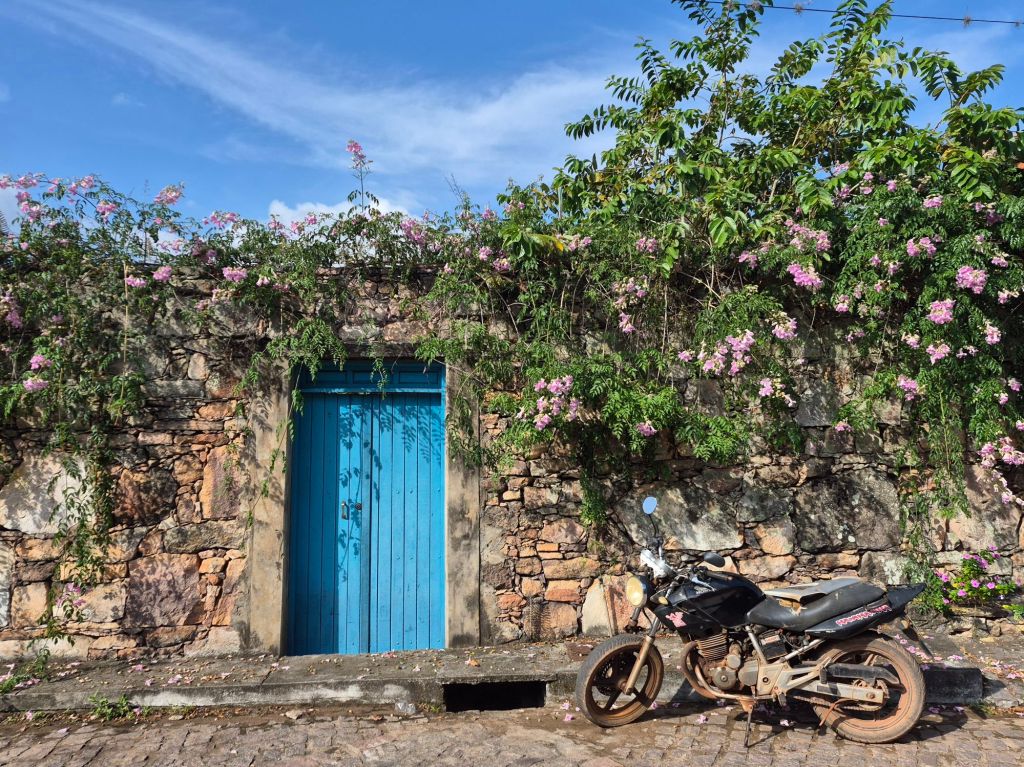
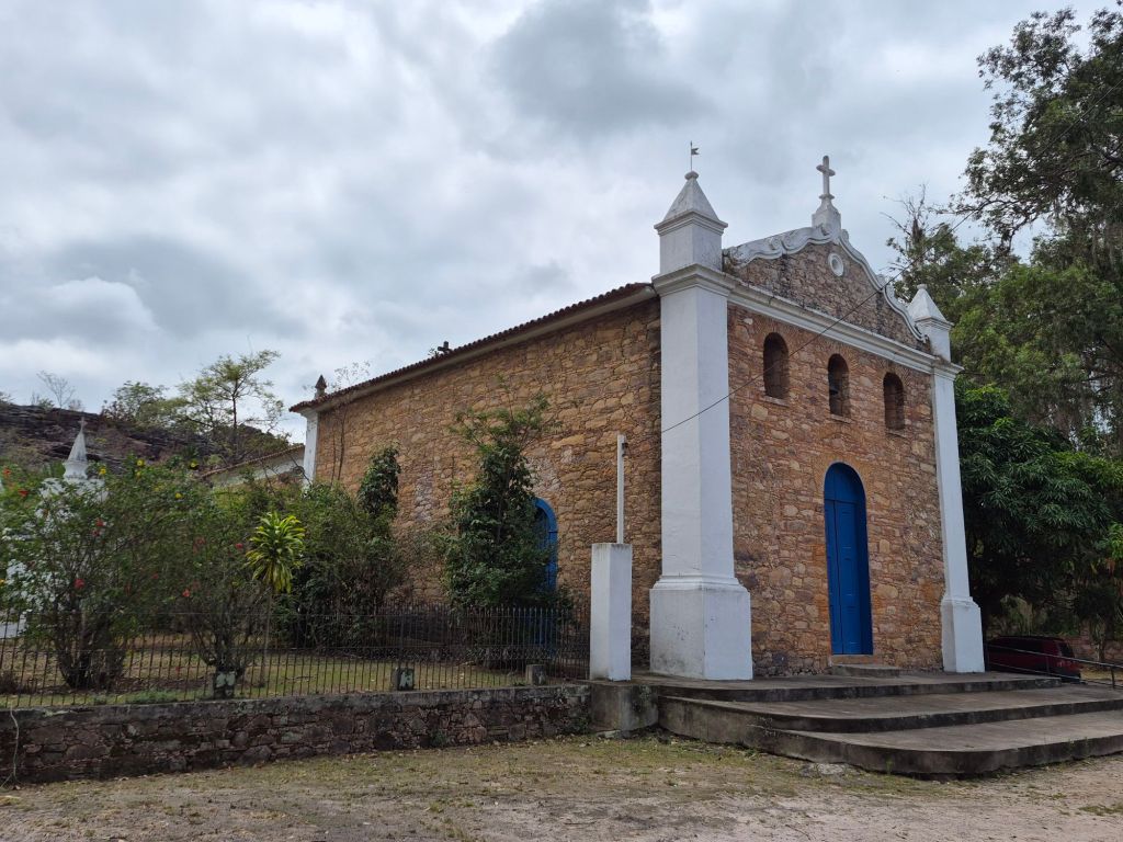
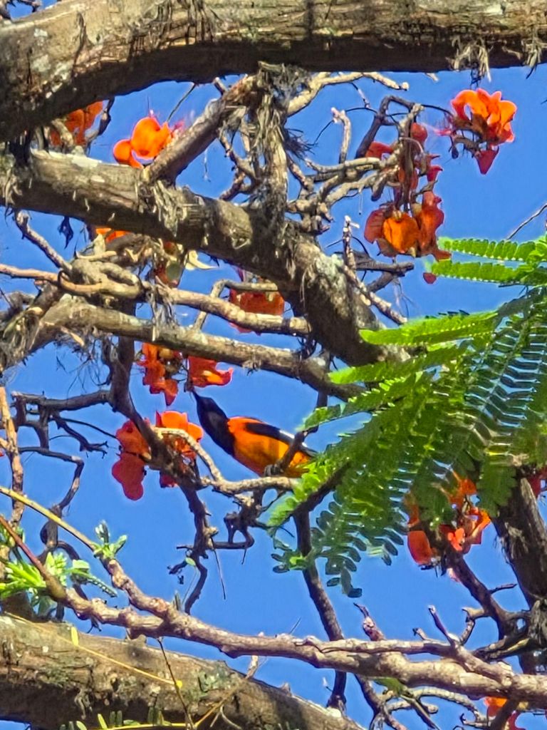
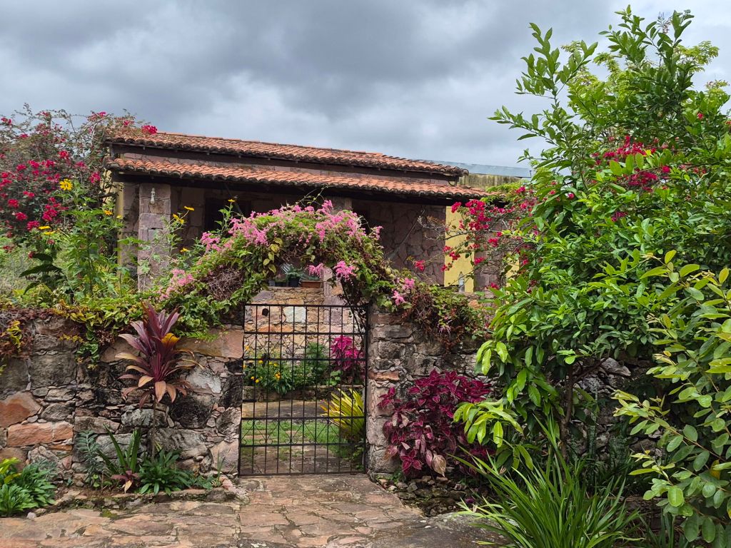
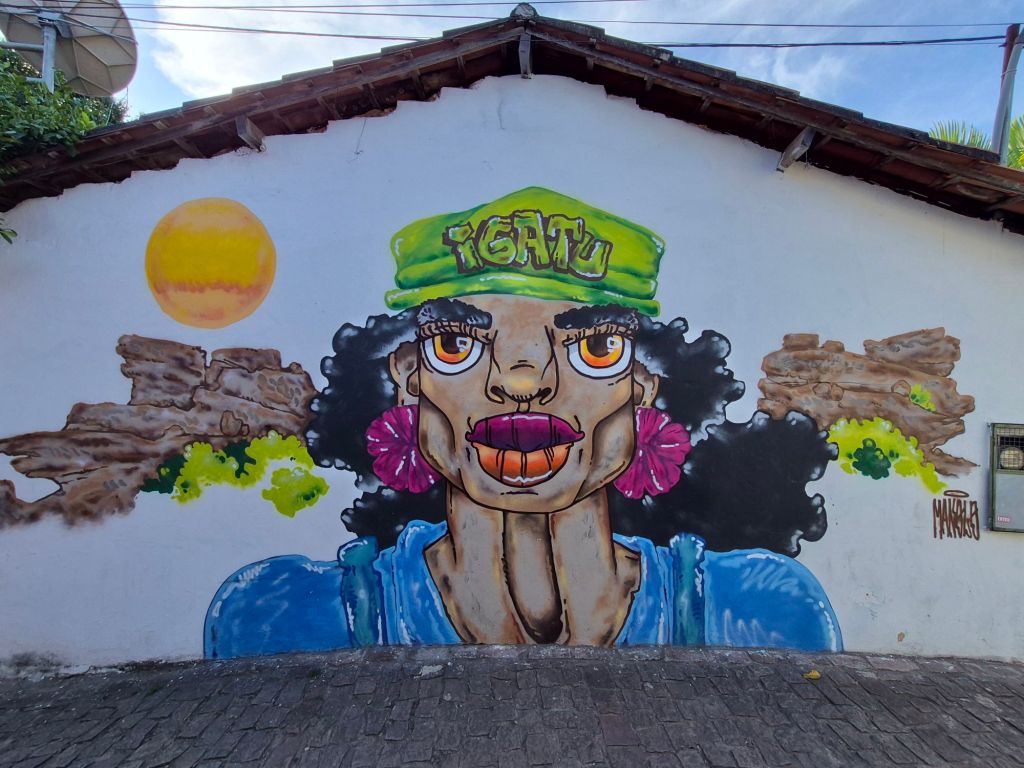
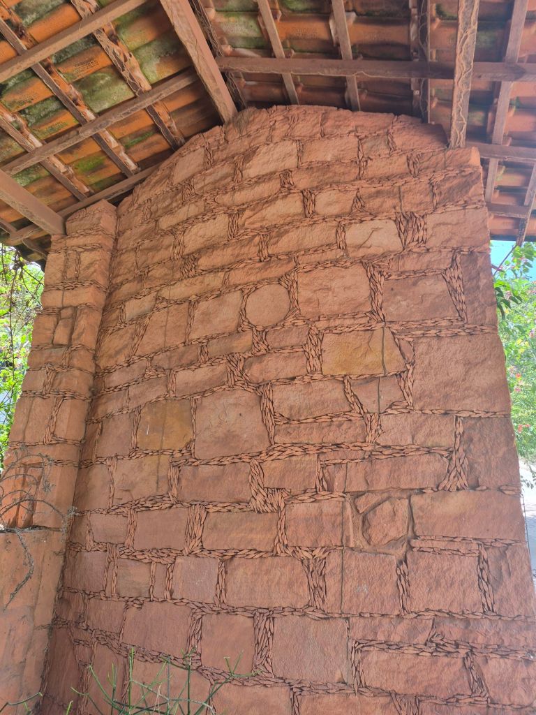
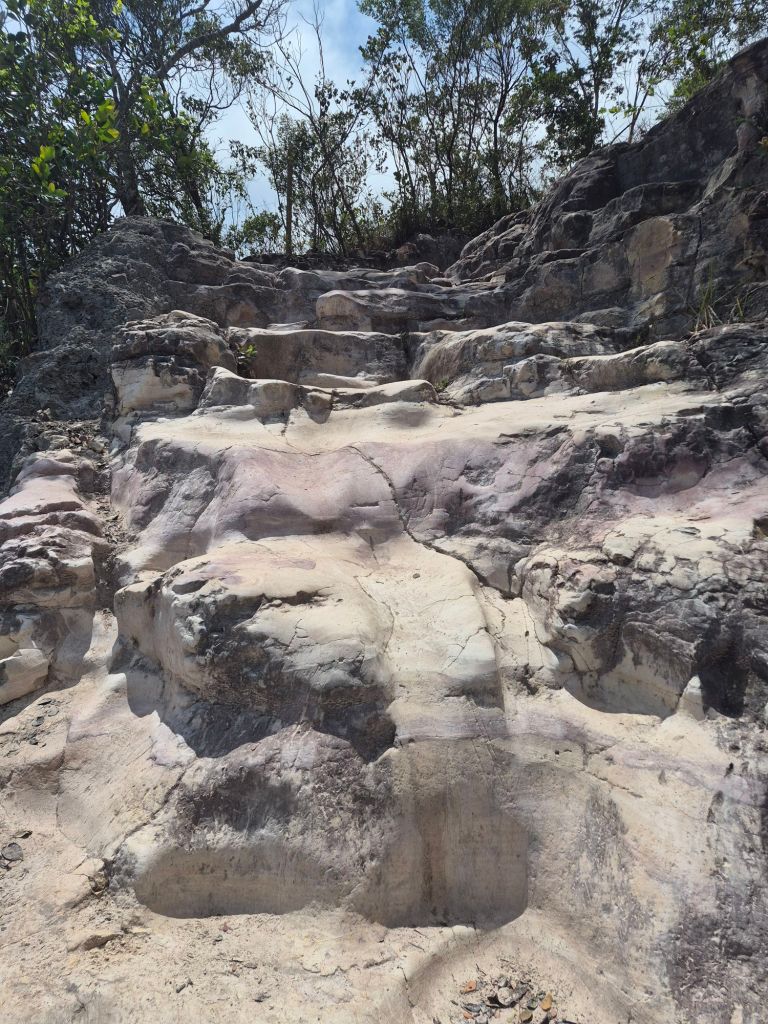
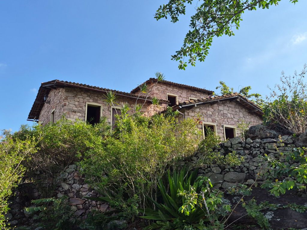
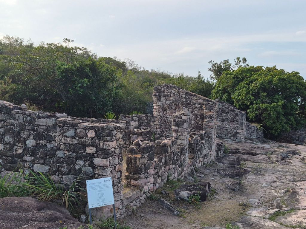
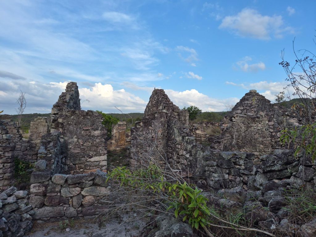
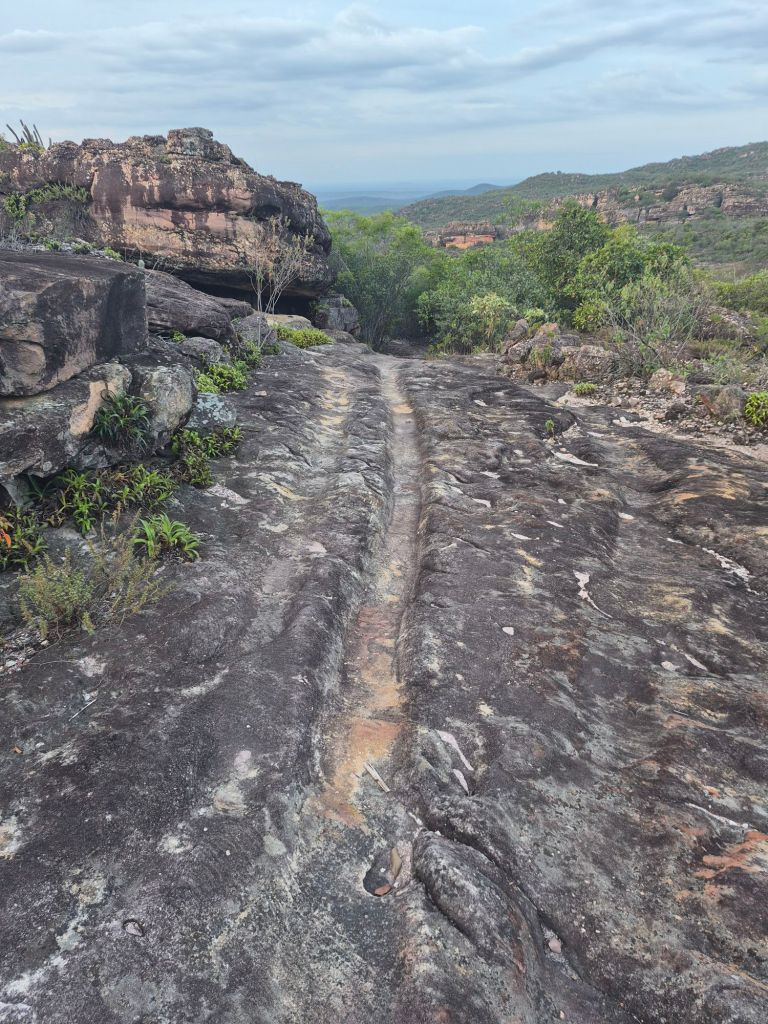
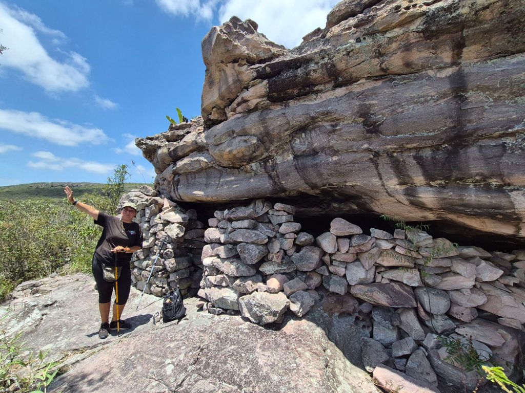
Chapada Diamantina was known for its diamond mining in the 19th and early 20th century. The type of diamonds, carbonados (polycrystalline black diamonds), were harder than the diamonds used for jewellery, and they were primarily for industrial use. After the Second World War they were no longer in demand and mining came to a standstill (after 100 years), with people moving away. Most of the small towns bordering the park have sites where the ruins of the mining towns can be visited, and in the case of Igatu, they stretch for 2km or more, scattered along the trail the miners followed to take the rocks down to the river for washing out the diamonds. Sometimes they lived in caves that they built shut, and they often used the rocks that were dug out to build their homes. It was strange to walk along a path where the rocks were worn out by a hundred years of use, because the trails to waterfalls all follow the route that the miners had made. There was a museum and art gallery before one got to the ruins.
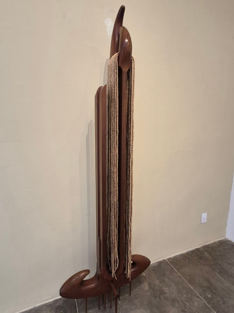
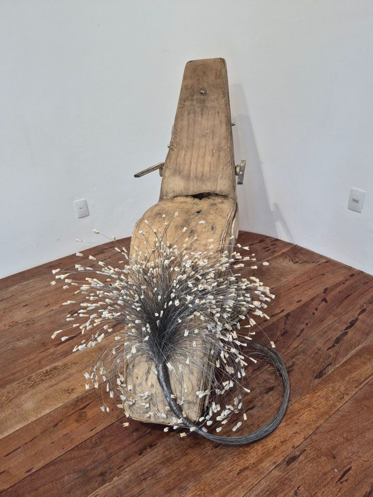
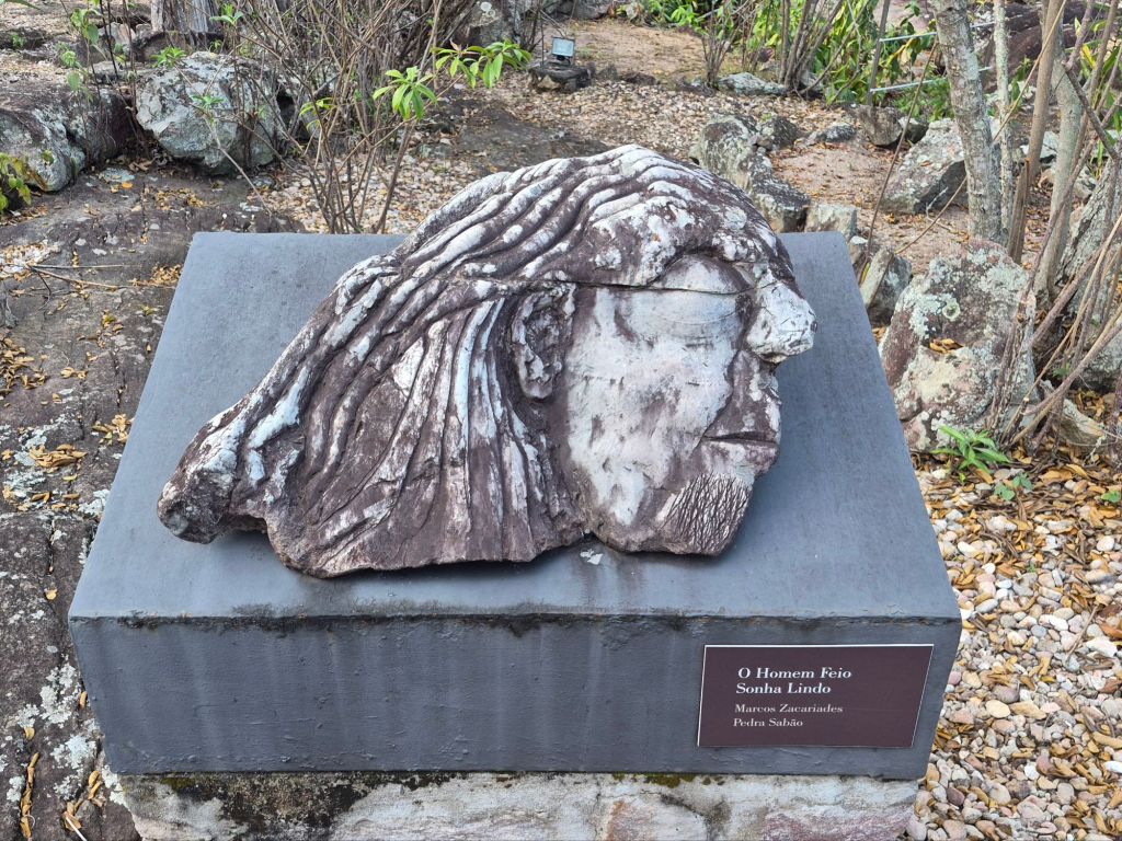
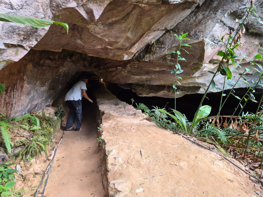
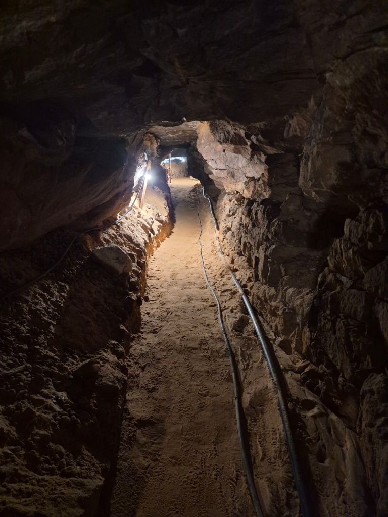
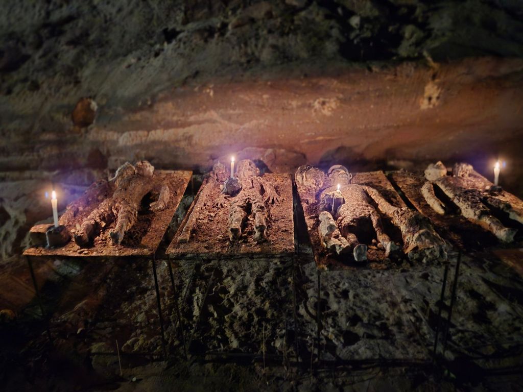
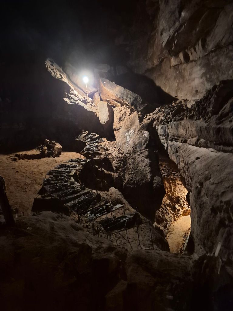
I also went to a mine site, where one is taken into a cave along the tunnels that the miners had made. The guide tried his best to explain (in Portuguese) with me nodding away, pretending to understand. When we eventually got to his office afterwards, there was WiFi and I could ask some questions using Google Translate. He told me there were still many diamonds; we went into the cave for about 600m; the rows of little ‘coffins’ were to represent and honour the people who had died; 200 people had died in that specific mine.
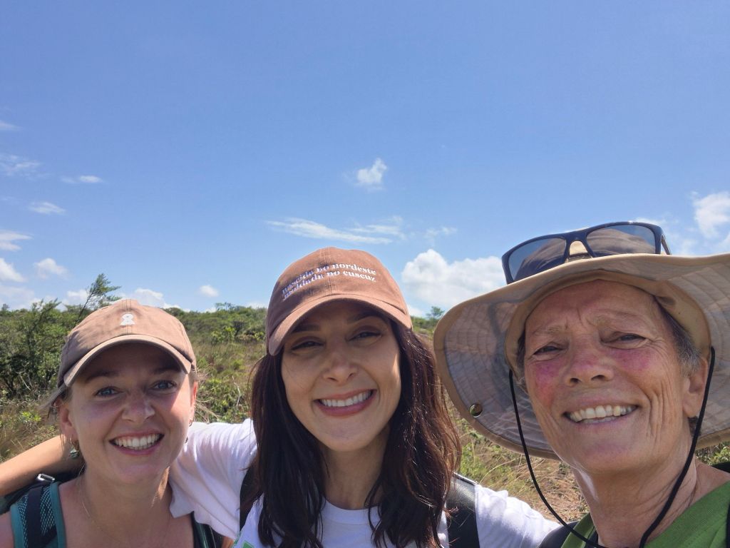
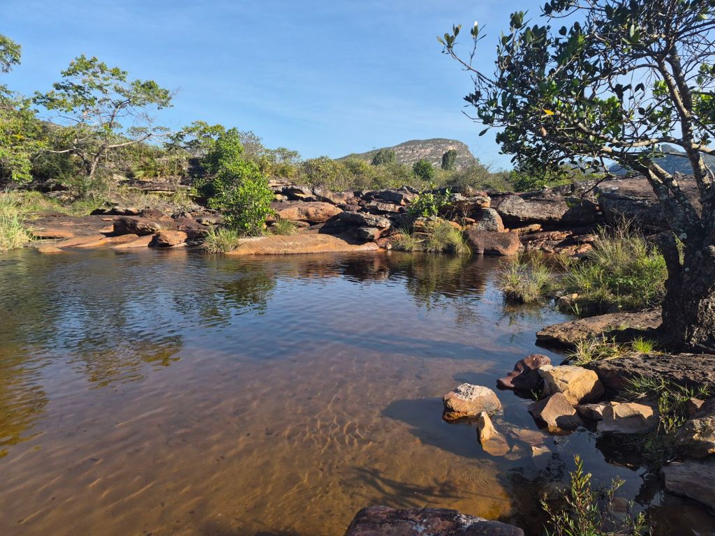
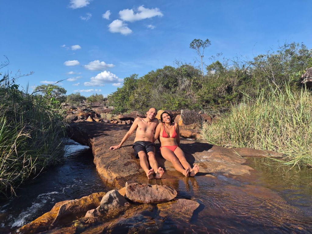
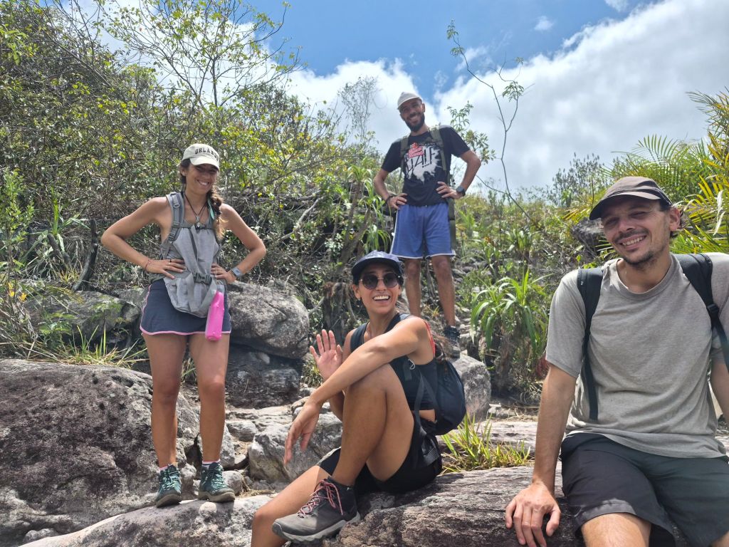
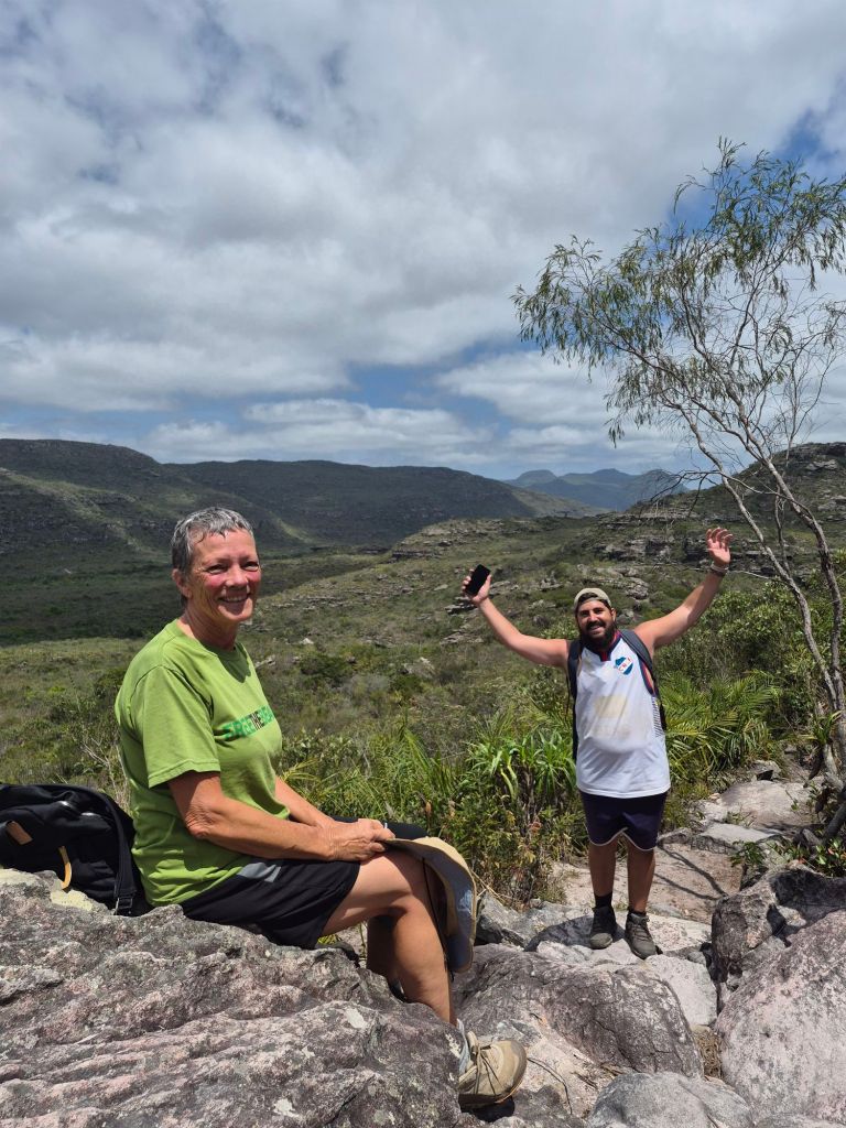
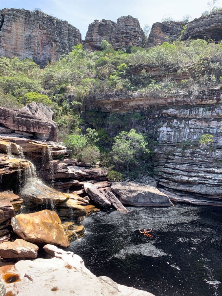
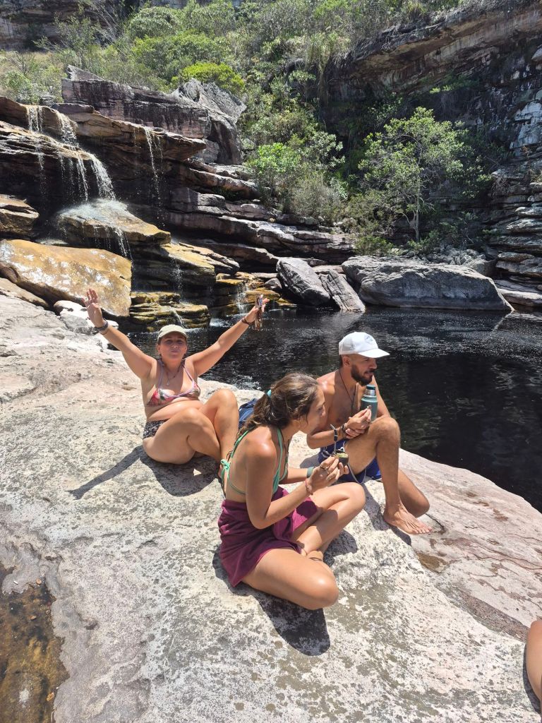
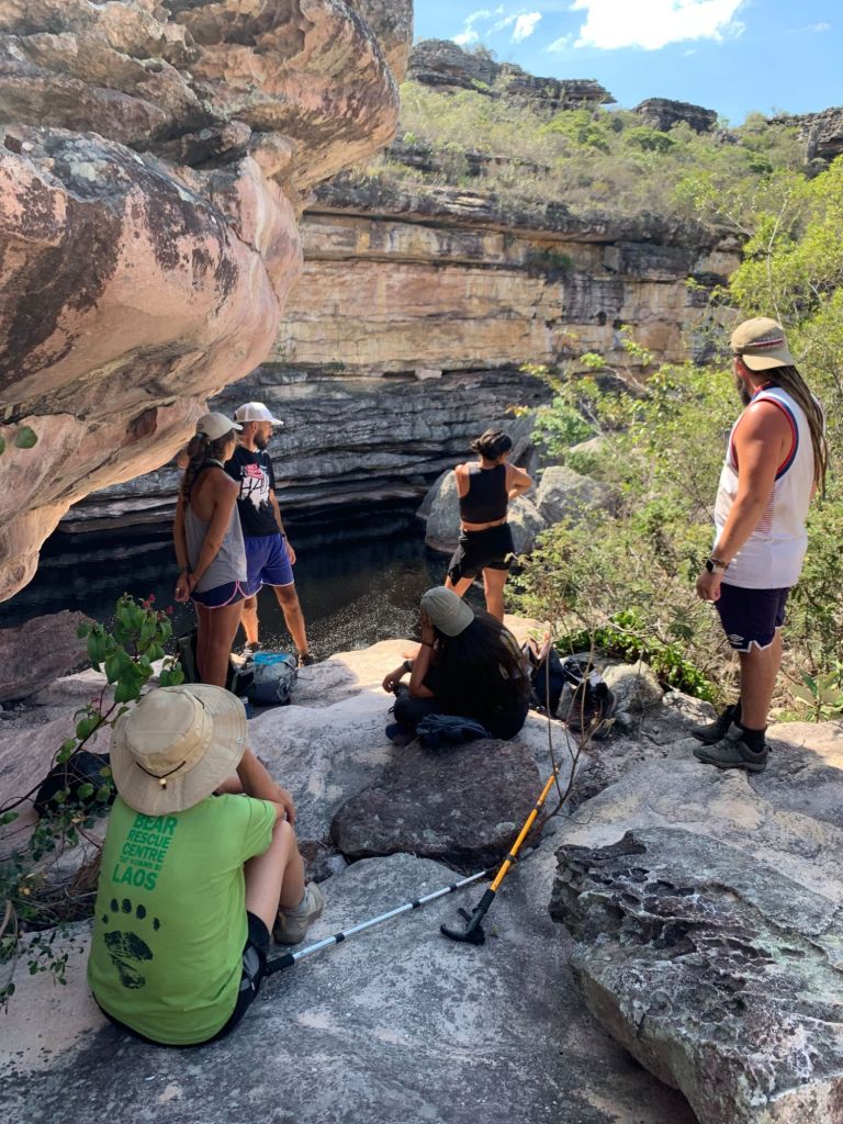
I met Ale and Mell in Mucugê, the last town I visited. It was a happy reunion with Ale, after 7 years, and a pleasure to meet Mell. They took me to two different waterfalls (with water), and pools to swim in. Some friends of theirs from Uruguay accompanied us the second day, and we spent a few hours at the waterfall, even drinking mate and playing a co-operative card game called “The Mind”.
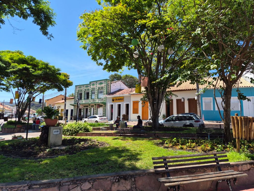
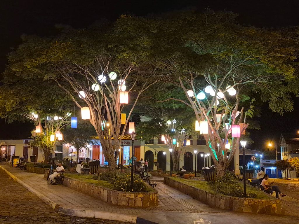
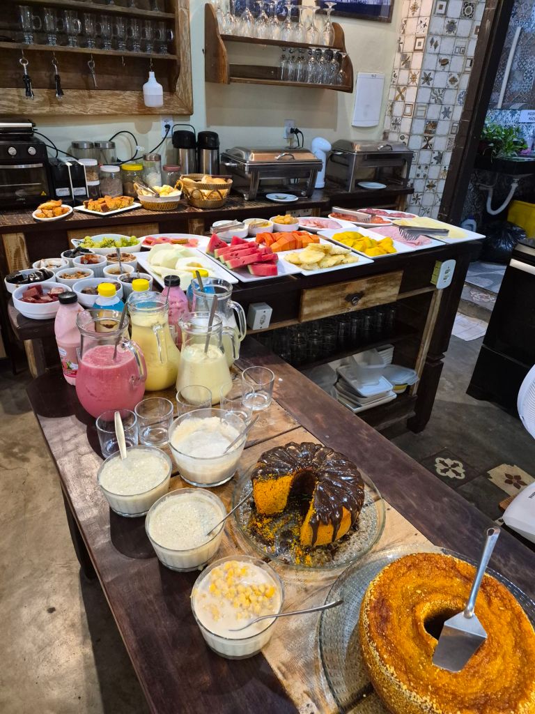
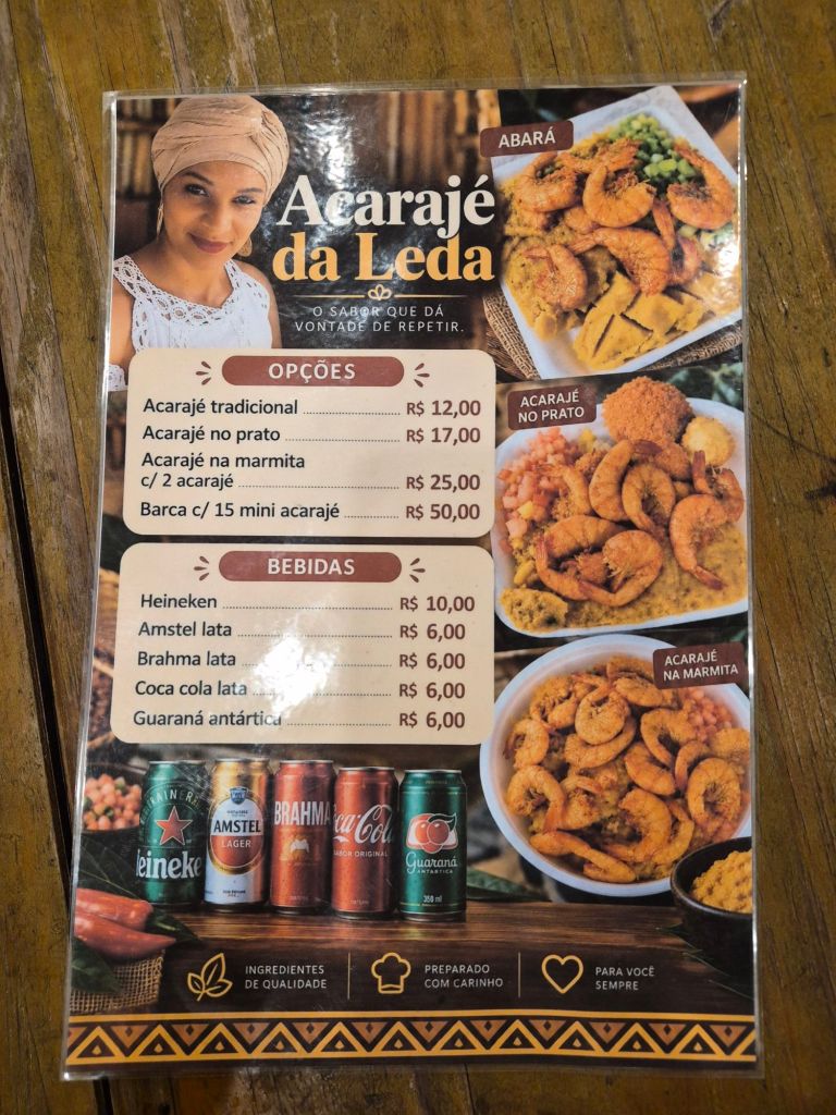
Ale had gone to a lot of trouble making recommendations all along the way, which he would WApp to me. I appreciated it very much, and tried to visit all the places. The last night in Mucugê they took me to a restaurant where we all had a local Afro-Brazilian dish called acarajé, a bread-like fritter made from black-eyed peas, that one could break open and eat with a filling.

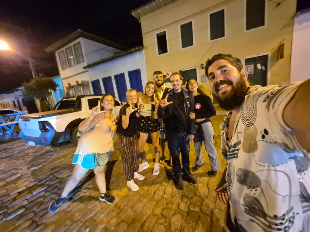
Afterwards they all accompanied me to my Pousada and we took a final group photo, them waving and sending kisses as I walked away.


What an incredible adventure, Meryl! It’s so wonderful to have had the chance to meet you and be part of this adventure together! I loved your blog, I’m a new reader from now on!
LikeLiked by 1 person
Thanks Paulina. I loved spending time with you all!
LikeLike